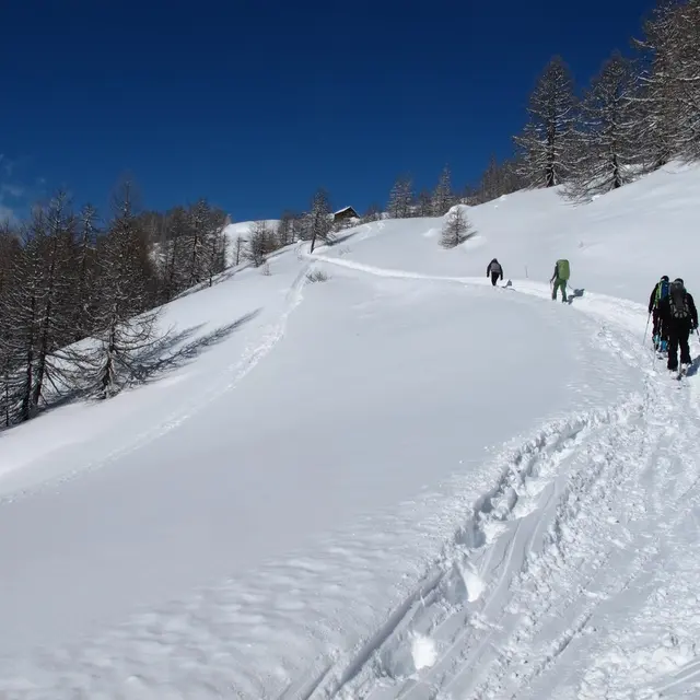
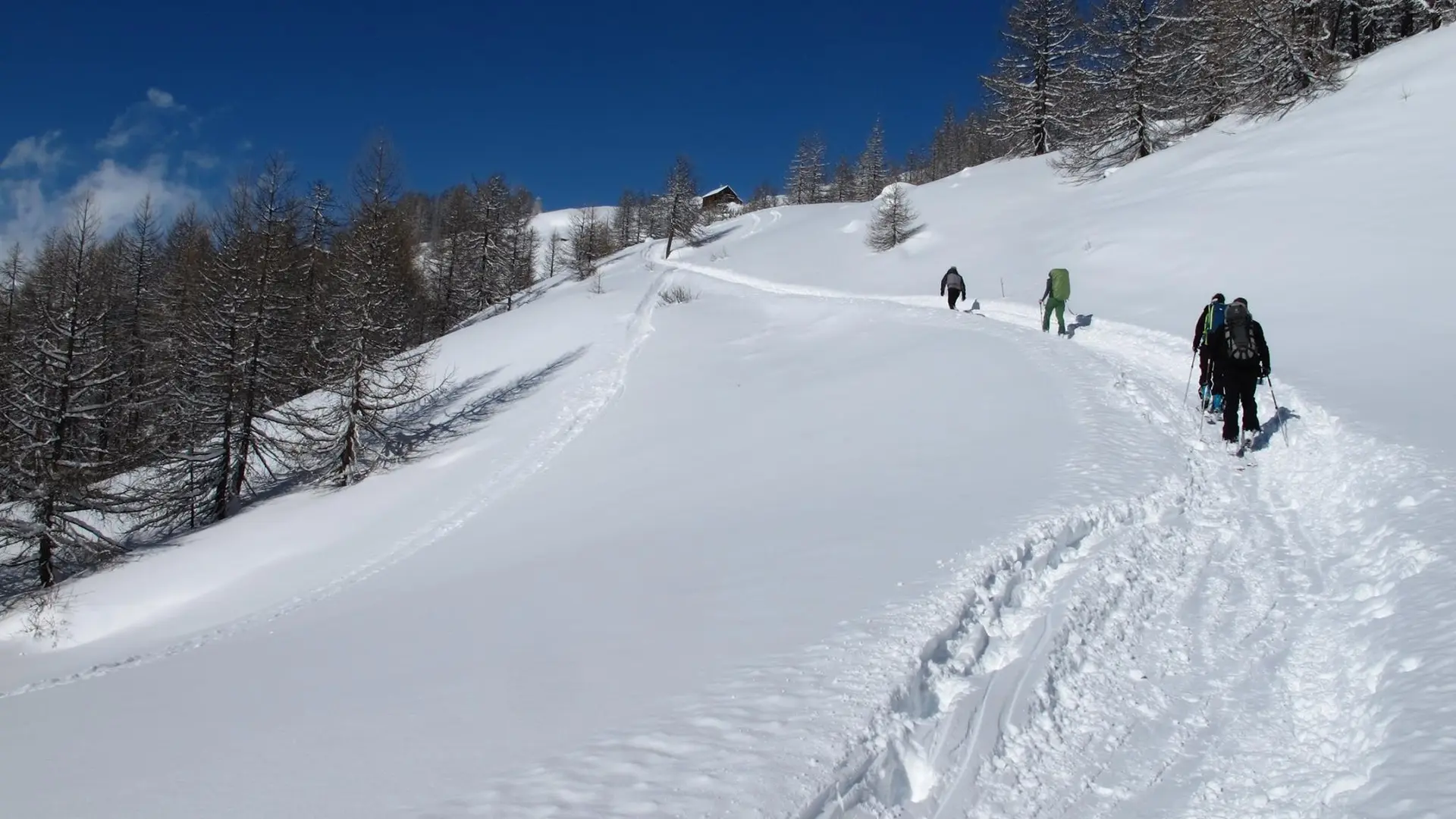
The ascent to the refuge de Ricou is easy, with magnificent panoramic views over the upper valley. The first 6 km are generally covered by the upper valley road, via the old chalets of Verney, Sausse and Lacha.
From Ville-haute, the last hamlet in Névache, the road is snow-covered and therefore closed to traffic: put on your snowshoes now and take the road to the hamlet of Fontcouverte.
Numerous chapels line the road: Chapelle Notre Dame de Bon Secours and Chapelle Sainte Barbe, followed by the chalets du Verney, and even higher up, on your right, the chalets de la Sausse and de Lacha.
Finally, after the emblematic Chapelle Sainte Marie de Fontcouverte, before the bridge, take the path on your right which rises towards the Refuge de Ricou. It's only an hour's climb to reach your goal.
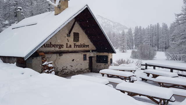
Find out when the refuge is open and remember to book.
Remain vigilant:
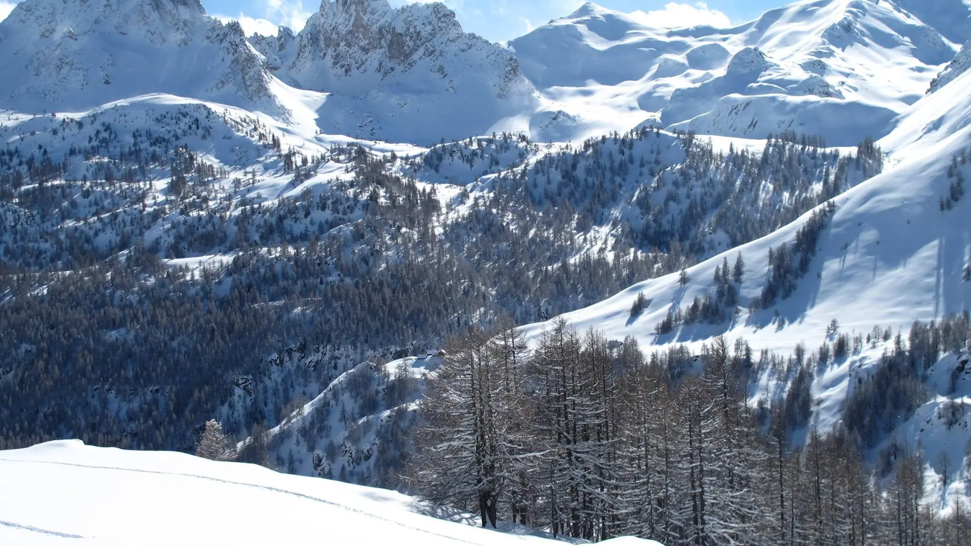
you need to be aware of changing weather and snow conditions. The G.R. and other itineraries used in summer are not always the same as those used in winter.
Stay alert to avalanche risks. Mountain guides are there to accompany you on this winter terrain, which they know well.