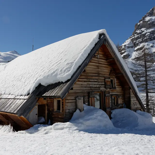
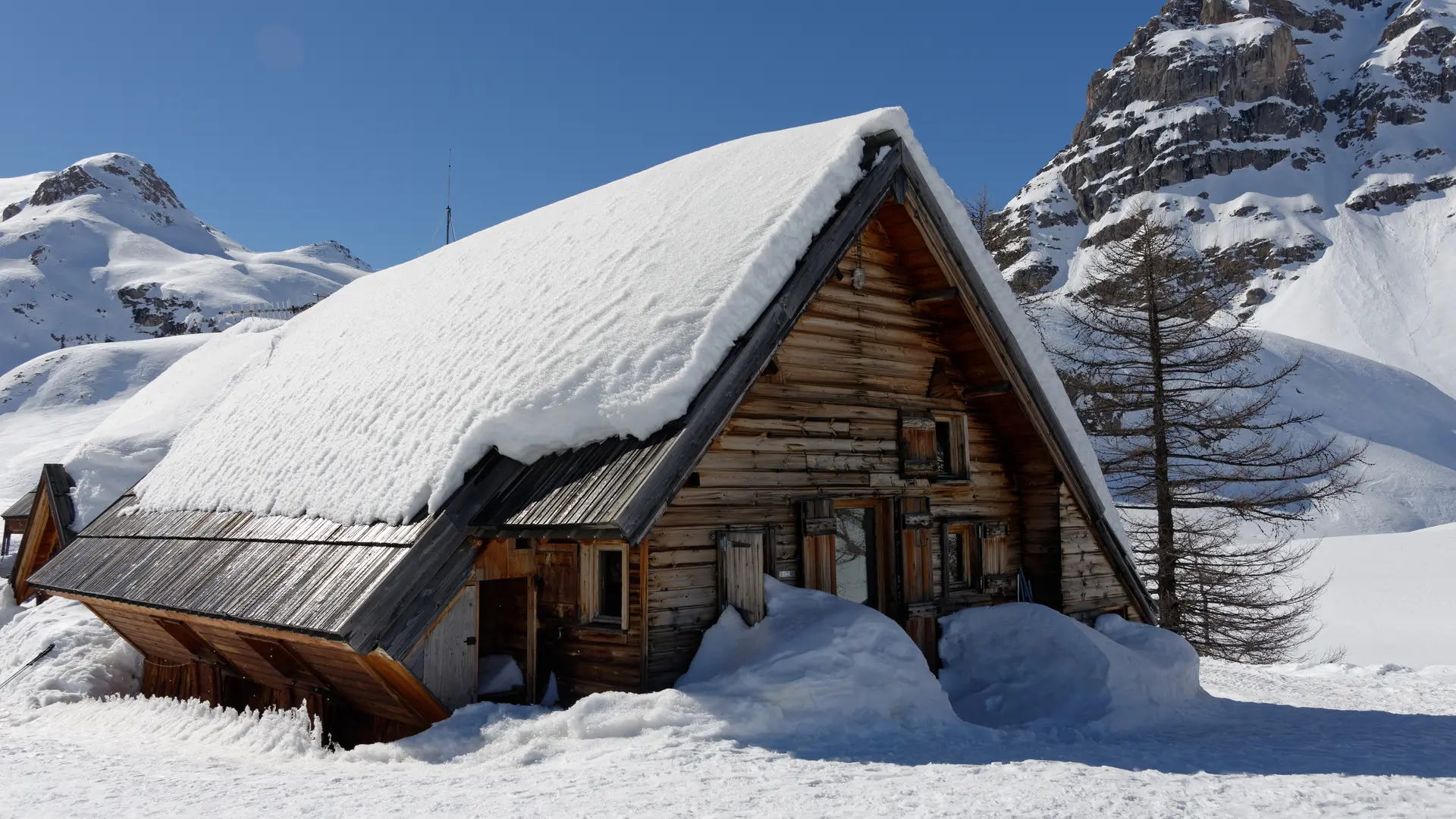
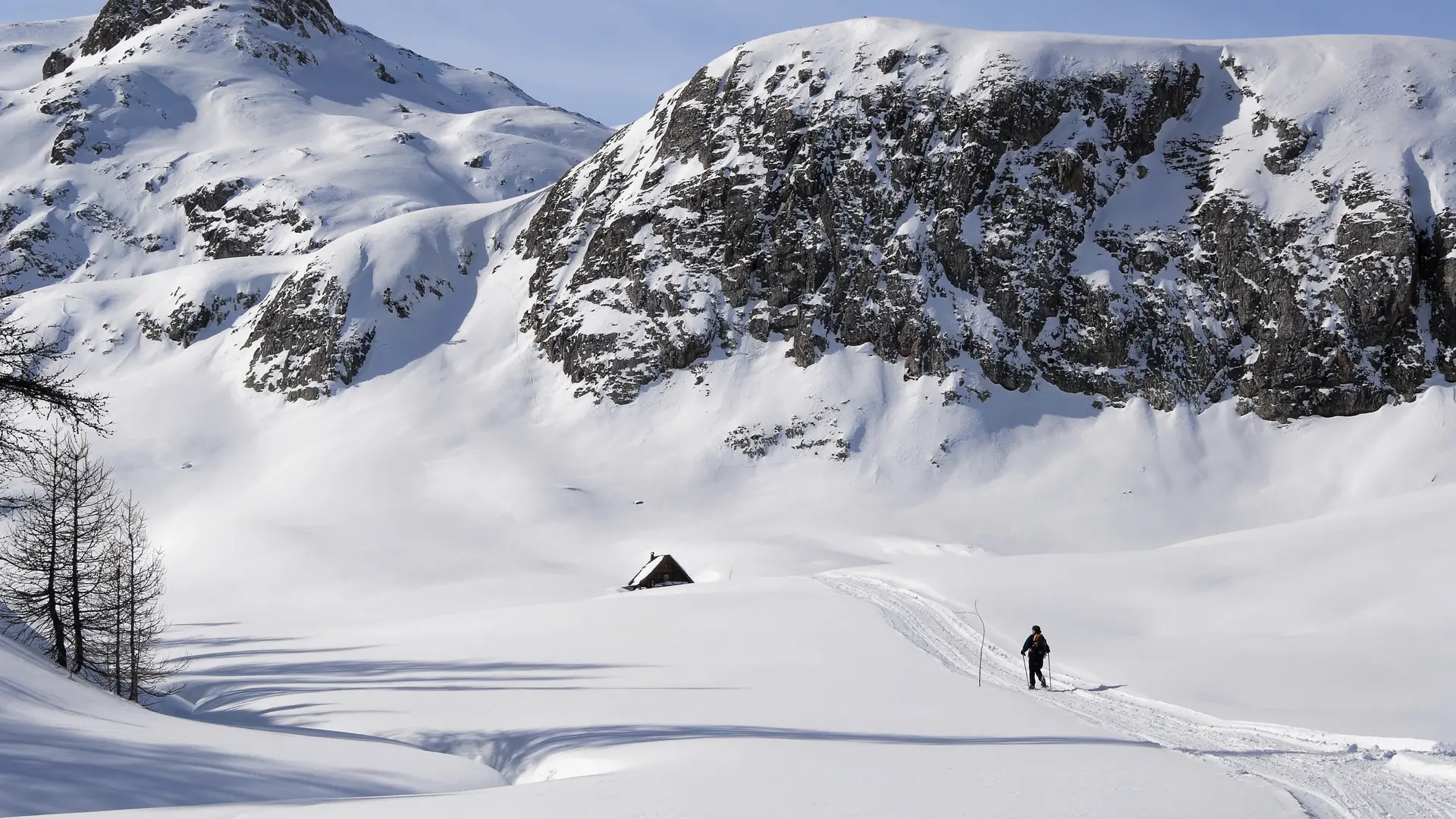
Gain height to reach the magnificent Chardonnet valley and its refuge, nestled at the foot of the imposing Queyrellin ridges. The route to the refuge is a little long, but not particularly difficult.
Park at the Ville Haute parking lot and take the Haute Vallée road, snow-covered at this time of year.
This trail, which winds its way through the hamlets and chapels of the Haute Clarée, has been groomed or marked by the various hut wardens.
After passing the chalets du Verney (approx. 4km), the Pont de la Souchère can be seen in a bend on your left below the road (a wooden sign indicates the name of the bridge). Cross the bridge and continue along the right bank for approx. 500 m, after which a path rises on the left towards the refuge du Chardonnet.
In principle, the warden's snowmobile will have left traces of its passage.
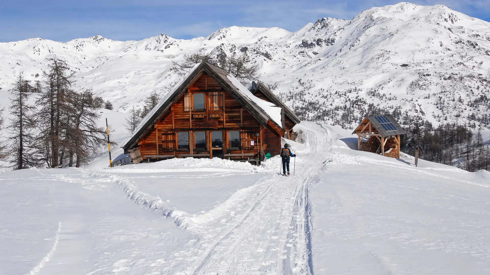
The trail rises through larch woods to reach the Laraux chalets, then a little steeper to reach the elegant Chardonnet refuge.
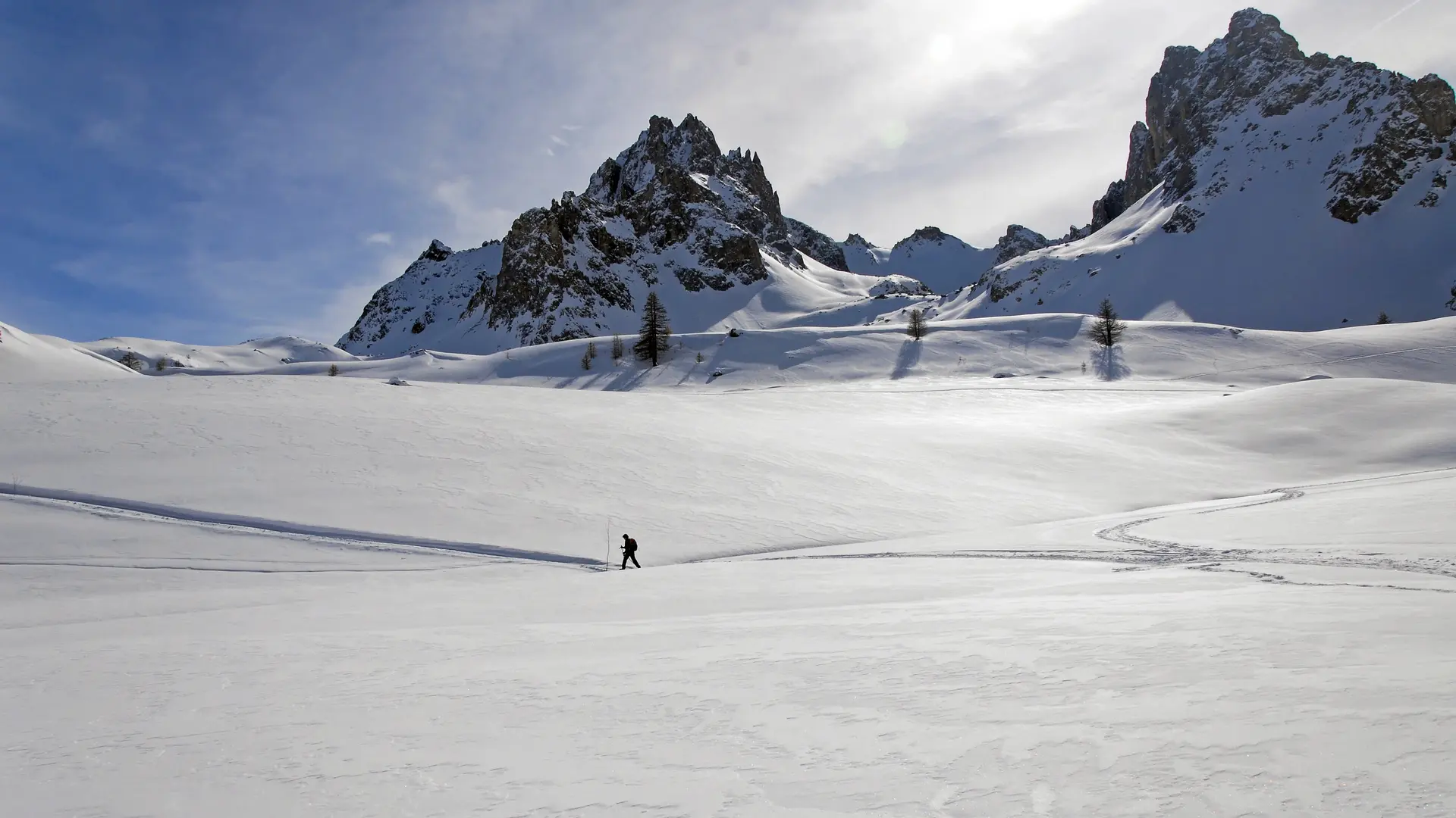
From the Refuge du Chardonnet, it's possible to climb up to the Col du Chardonnet, in which case you should allow 2 hours' ascent from the refuge and 440 vertical metres for just over 3 km to the Col. For this ascent, it is advisable to ask the warden about snow conditions.
Find out when the refuge is open and make sure you book in advance.
Remain vigilant:
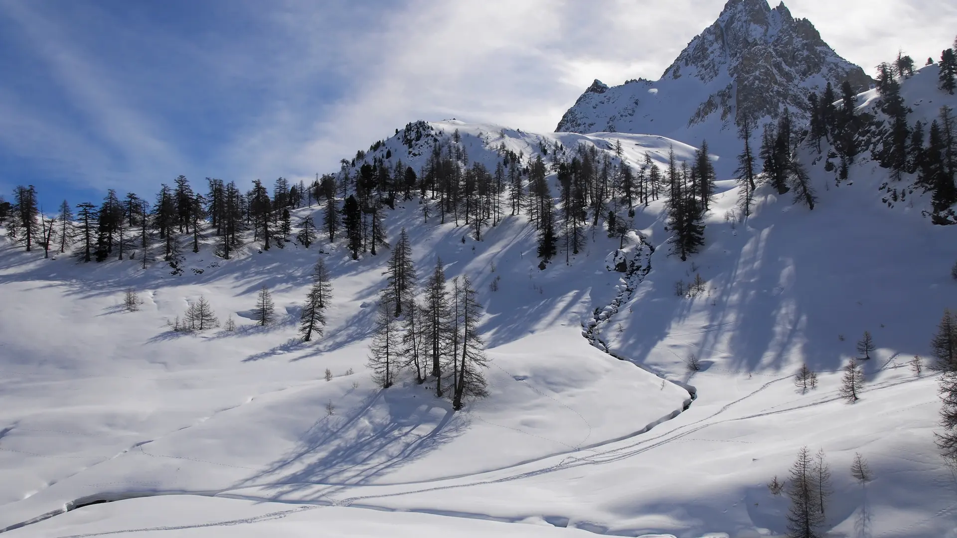
You need to be aware of changing weather and snow conditions.
G.R. trails and other routes used in summer are not always the same as winter trails.
Stay alert to avalanche risks.
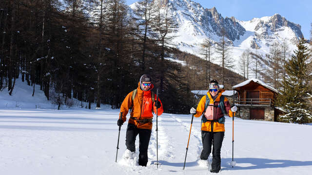
Mountain guides are there to accompany you on this winter terrain, which they know well.