A true immersion in the Clarée region, the ascent to the chalets de Laval allows you to discover the entire upper Clarée valley as you pass by the many summer cottages. A timeless corner of plenitude at the bottom of this high valley.
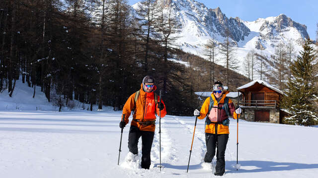
In winter, it's the perfect place to come from Névache on snowshoes, or even on foot when the snowy road is hard.
Leave your car at the Ville Haute parking lot in Névache and take the summer road, which is closed at this time of year.
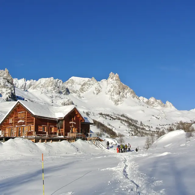
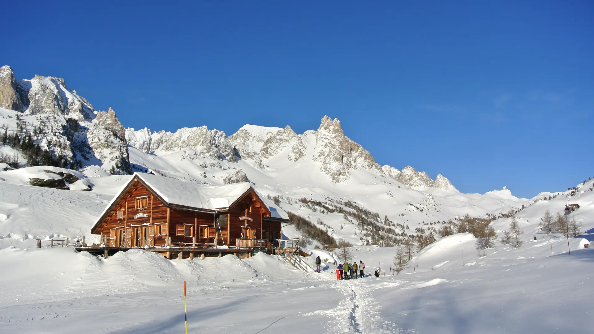
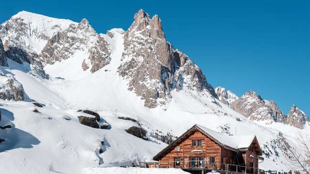
You'll pass through the snow-covered hamlets that make up the upper valley over a 10 km stretch of magnificent scenery, and snuggle up against its rocky outcrop to catch a glimpse of the LAVAL refuge.
From here, the view of the Main de Crépin and the Pointe des Cerces is magnificent. The calm and serenity will make you forget your daily routine.
Be careful, it's a long way up; in case of bad weather, check the snow conditions on the Haute Vallée road, as wind and snow can slow your progress.
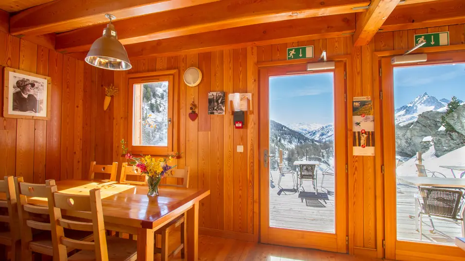
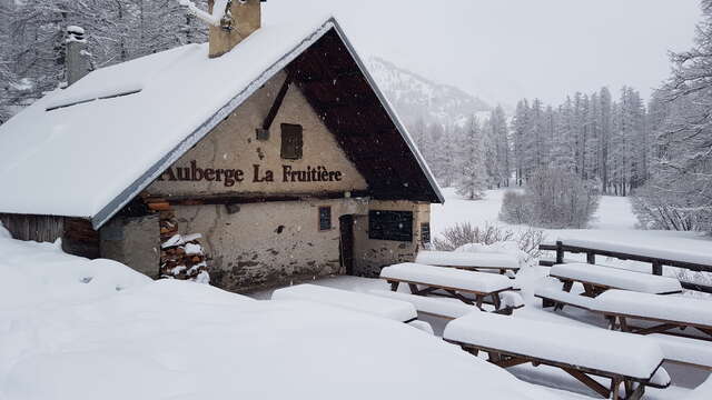
Find out when the refuge is open and remember to book.
Stay alert :
be aware of changing weather and snow conditions. The G.R. and other itineraries used in summer are not always the same as those used in winter - The right bank itinerary between Ville Haute and the Rately bridge is not recommended.
Stay alert to avalanche risks. Our mountain guides are there to guide you on this winter terrain, which they know well.