The route described takes you from the refuge to the foot of the small glacier. Well-equipped climbers may choose to reach the summit itself by crossing the glacier (with few crevasses) and then climbing the easy, airy north ridge of the Aiguille du Goléon (alt. 3427m).
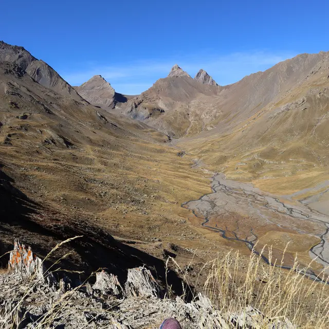
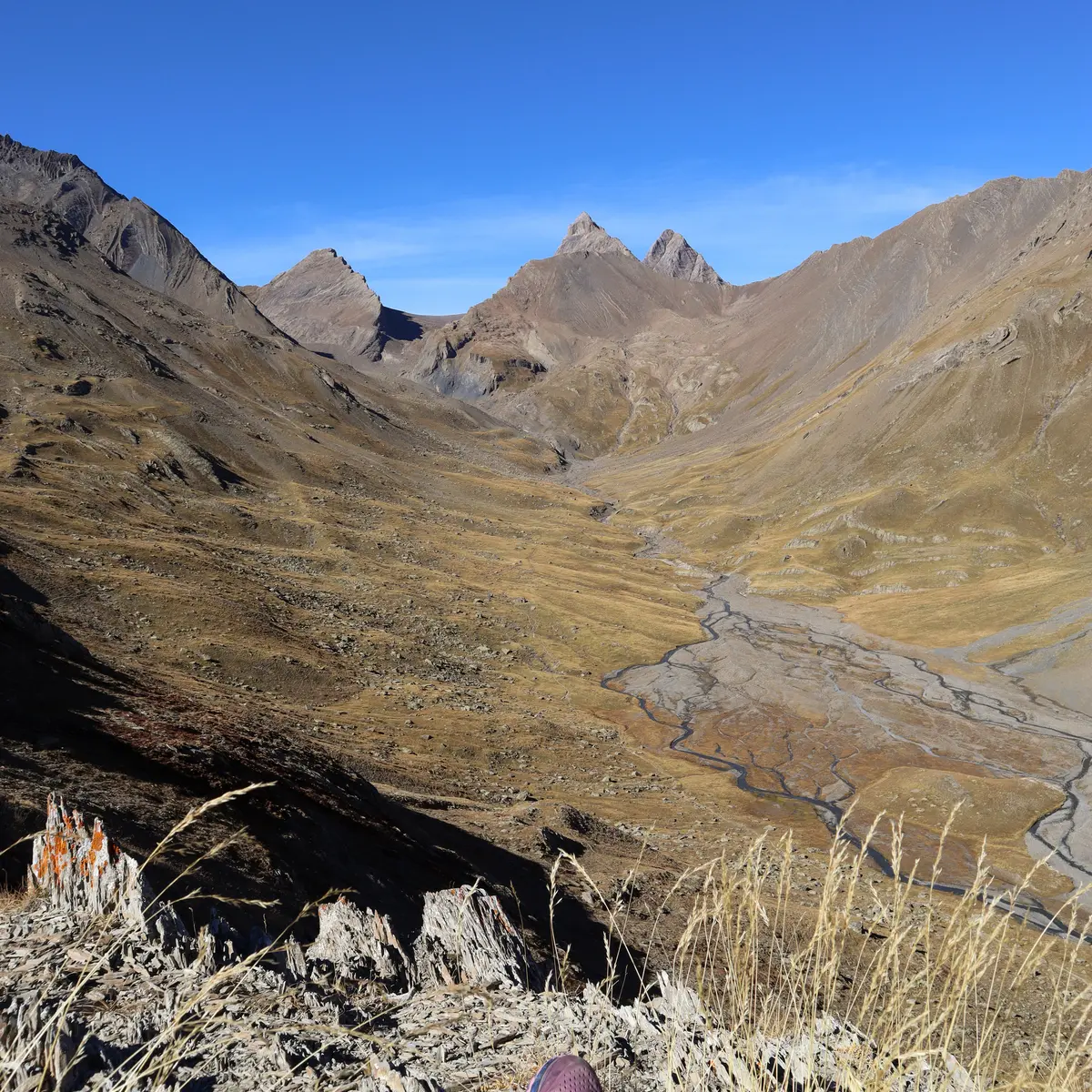
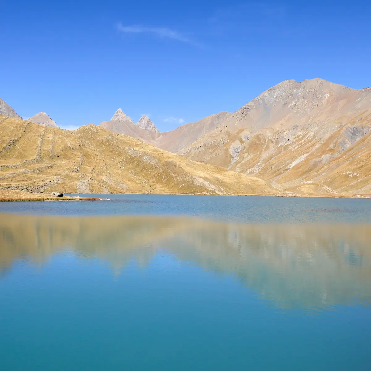
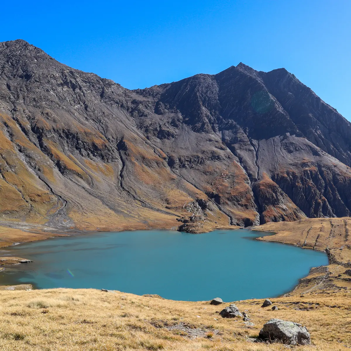
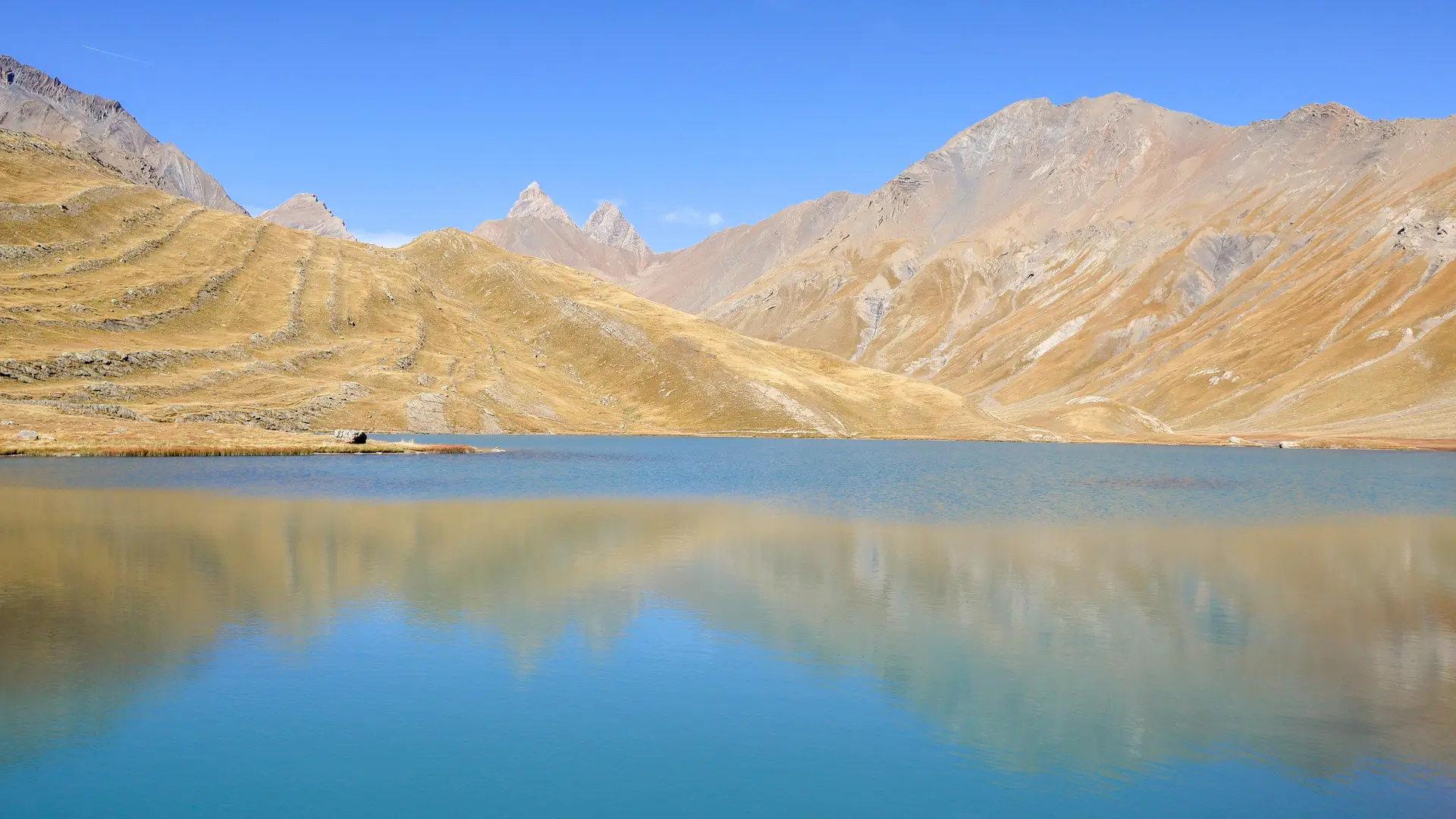
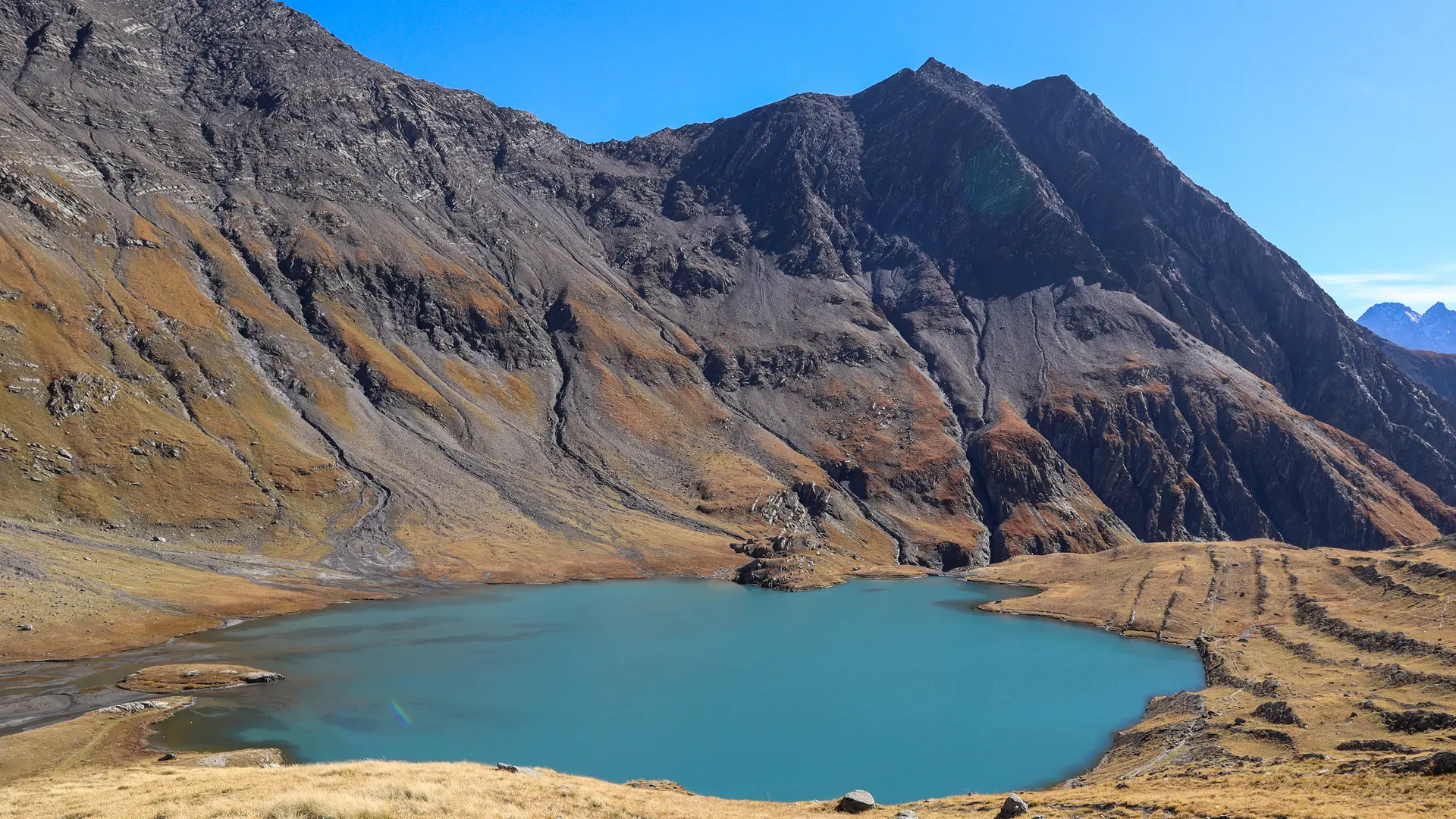
From the refuge, reached the day before from Valfroide or by route no. 13, descend at an angle towards Lac du Goléon, skirting it to its northern end.
Continue to climb gently up the valley, passing by the old refuge leaning against its rock (refuge Carraud) and following the path up the valley on its left flank. Keep to the left of the torrent (right bank) at all times.
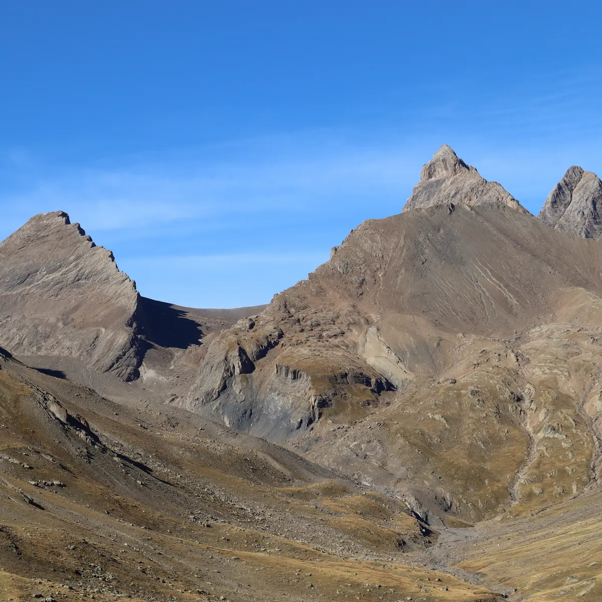
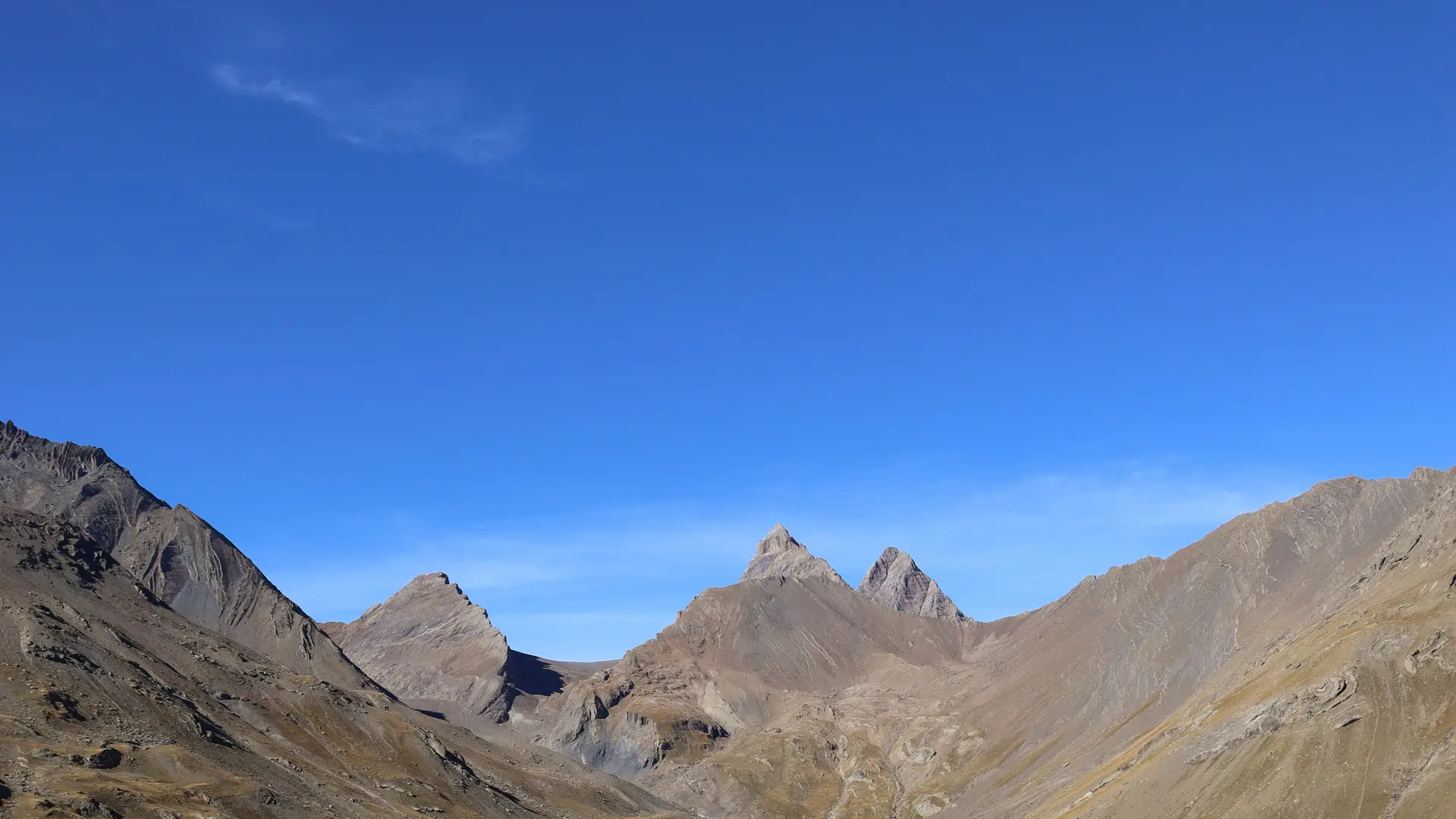
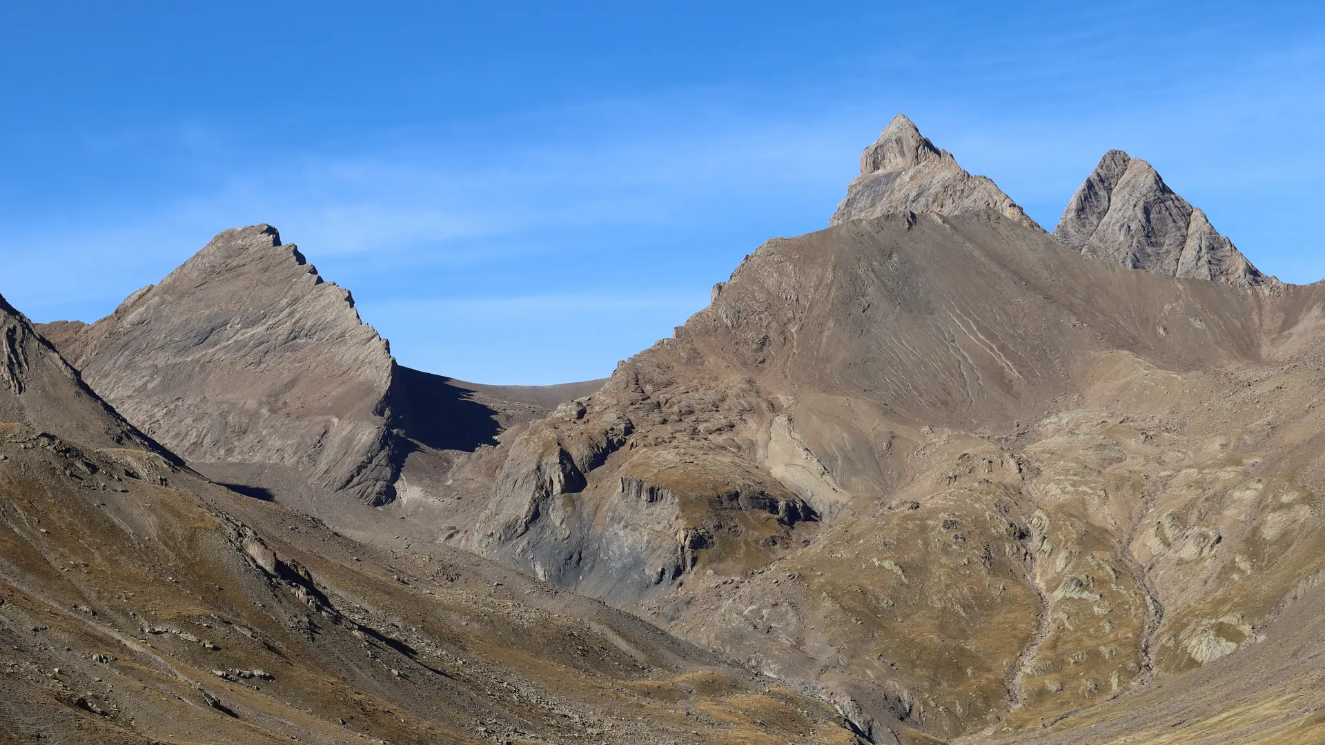
At the beginning of the season, snow can quickly be found here; climb up these snowy slopes, or the scree slopes, depending on conditions, to reach a flat area at the foot of the Lombard glacier, dominated by the Goléon needle.
⚠️ From this point, only well-equipped mountaineers (rope, ice axe, crampons) can decide to climb the glacier towards the col (alt.3236m) to the south of the Bec de Grenier. They will follow the entire north-west ridge, which is sometimes aerial (a few climbing steps), staying as close as possible to the ridge (do not climb the slopes).
Return by the same route.
⚠️ This climb is best undertaken at the beginning of the season, when the snow is still present and covers the scree.
You'll need good hiking boots and, for the final section, rope, ice axe and crampons.
Read more