From the car park at the Place de l'Europe, go left following the Avenue des Alpilles. 100m further, take the Route de Servanes. Continue on it for 600m.
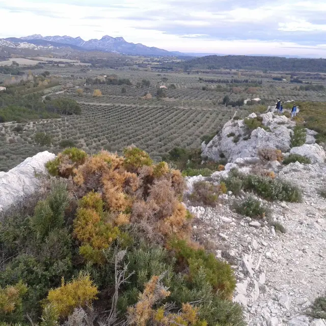
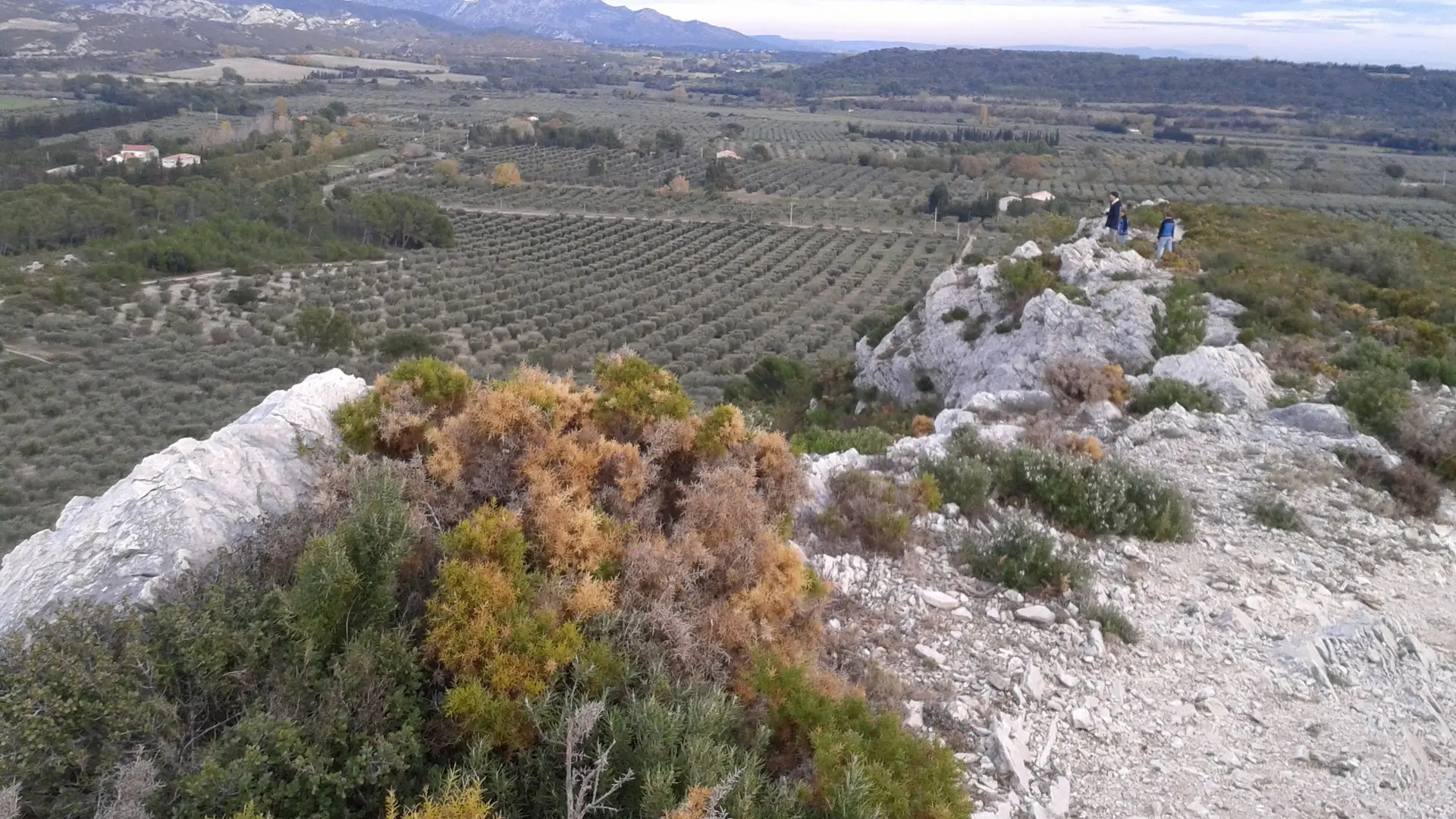
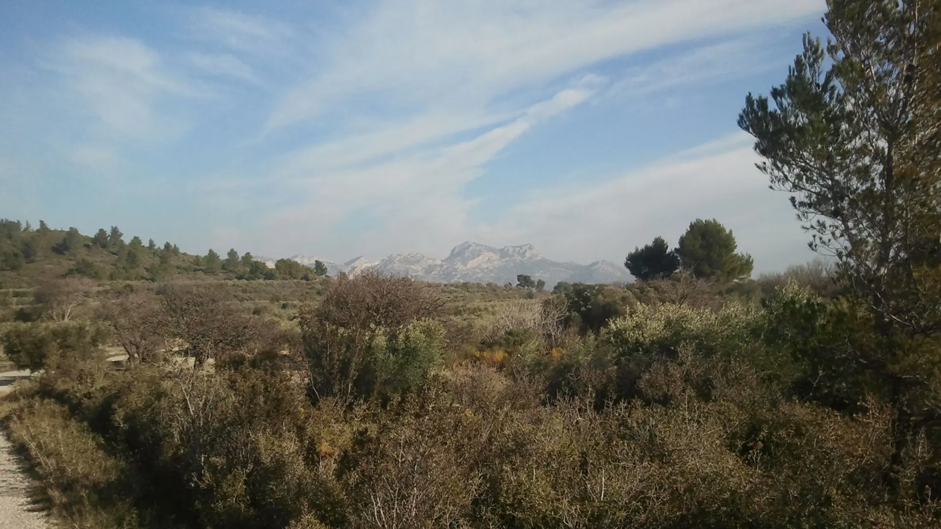
1 - In the left turn, go right up the path leading to the scrub. At the top, turn right and go through the Castellas ridgeline. At the bottom, cross the D24 (be careful!) and follow the D24a across for 350m. Then leave this road to switch to the left. Follow it for 1.5km.
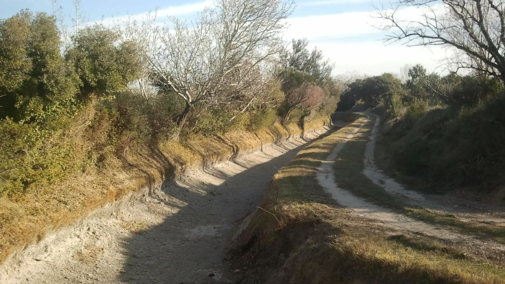
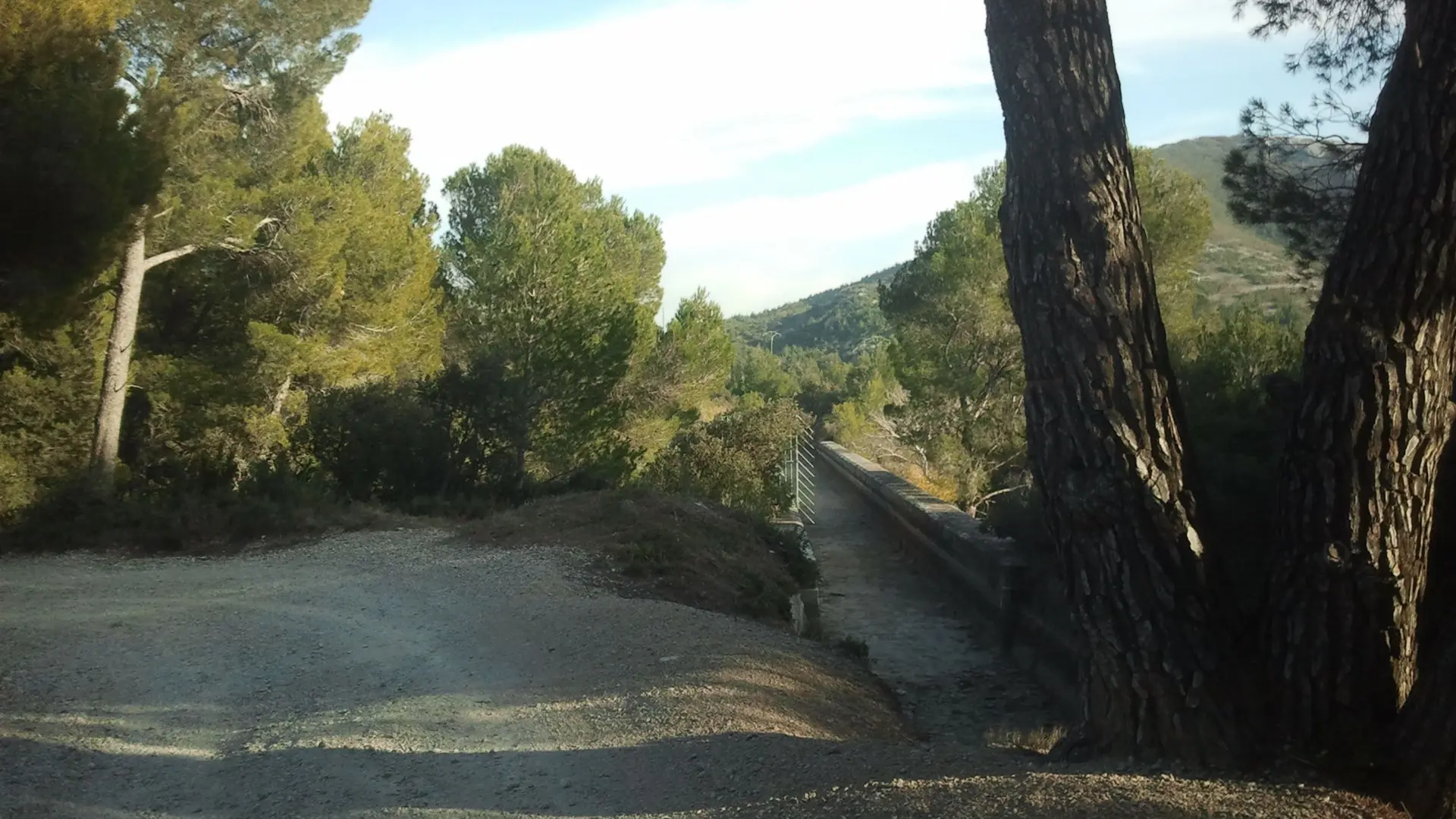
2 - At the junction, continue straight on the old railway track. After the breakthrough in the rock, leave the path to the left and take the small path that leads to a former embankment reclaimed by vegetation. When reaching the Malacercis property, go down the embankment and continue for 1km.
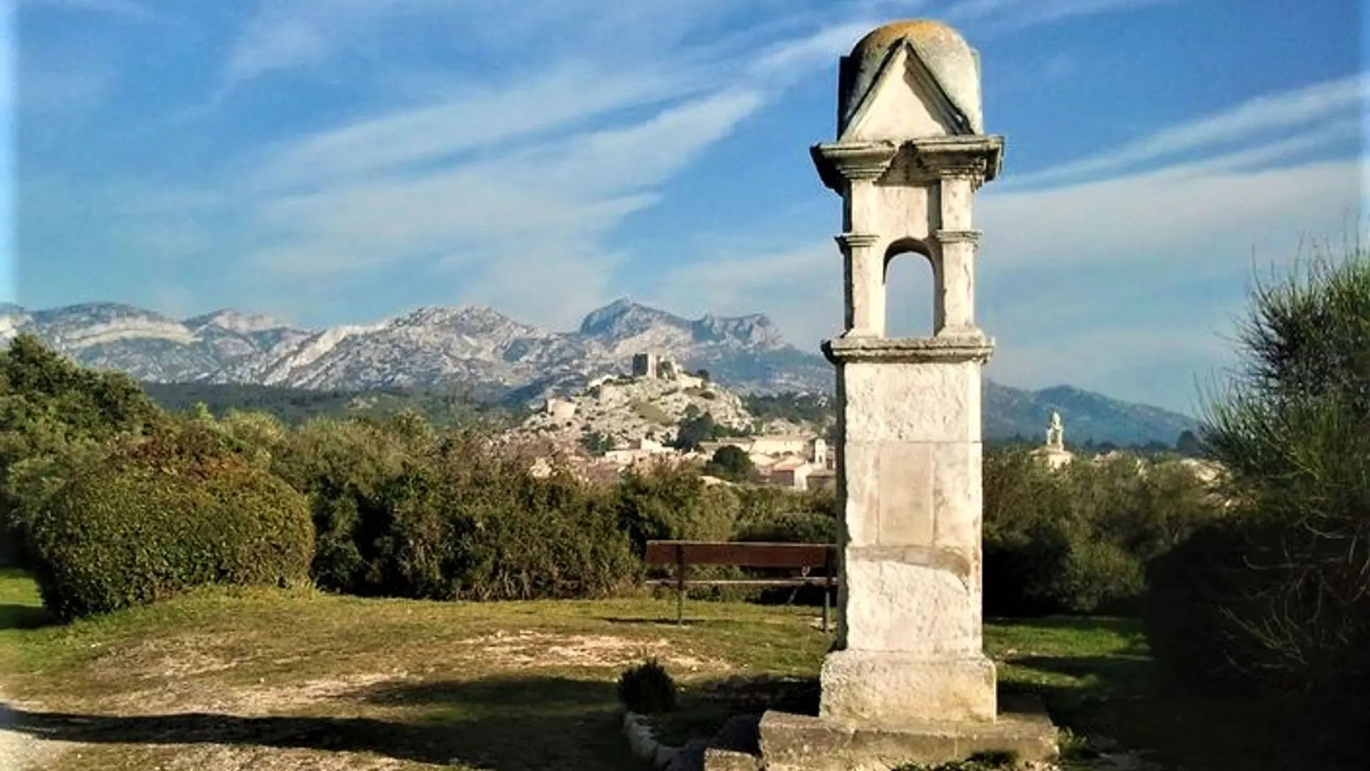
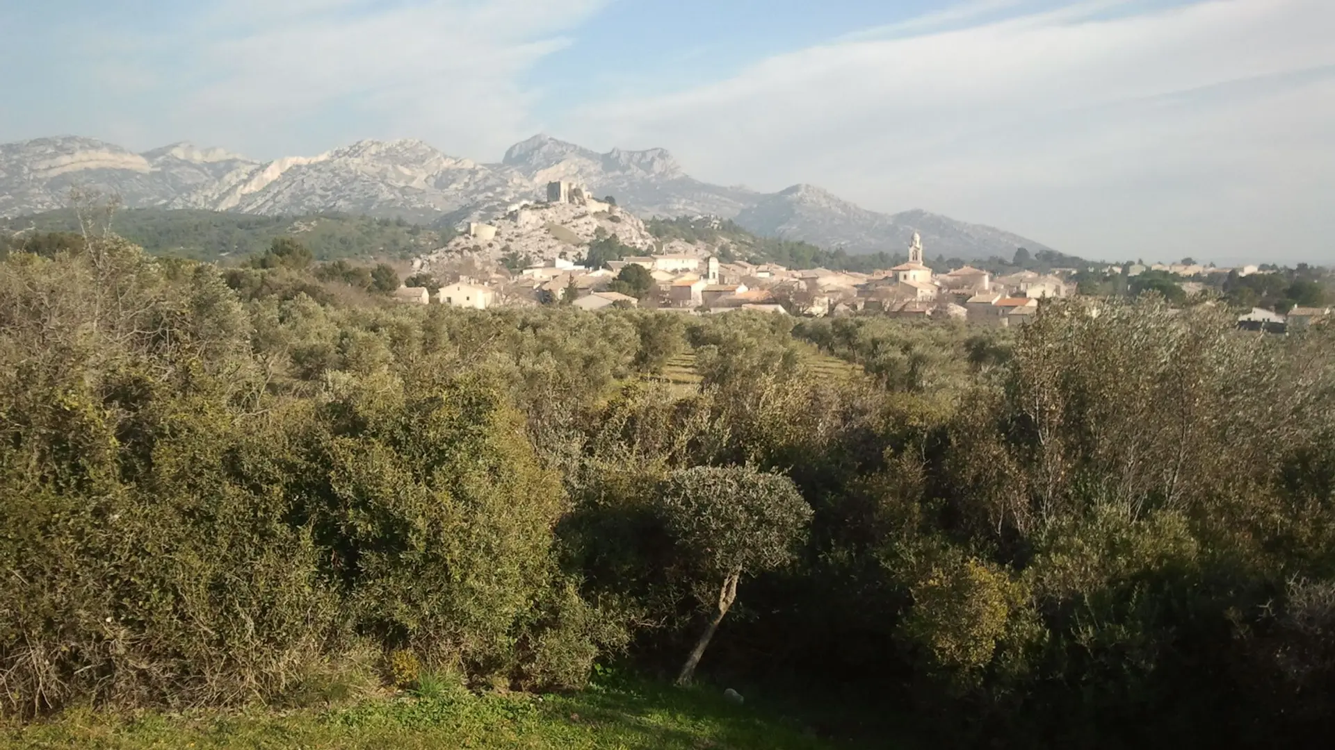
3 - At the crossroads of 4 roads, leave the route of the old railway track and turn left. Cross the Vallée des Baux canal, head north and turn right on the paved road of Pas de Clavel. Continue until the oratory (beautiful view of the village of Aureille).
4 - Turn left at 180° and follow the signs of Eygalières, Mouriès and Maussane (GR®6). After 600m, leave the GR®6 going up to the right and continue straight on the GR®653A. Go along the small massif Pas de Cerf. At the end of the paved road, continue on the path (yellow markings). Leave to the left the oil mill of Vaudoret and take a wide track across. Go along a former motocross circuit and the ruins of an old grist mill. Come out on the D24.
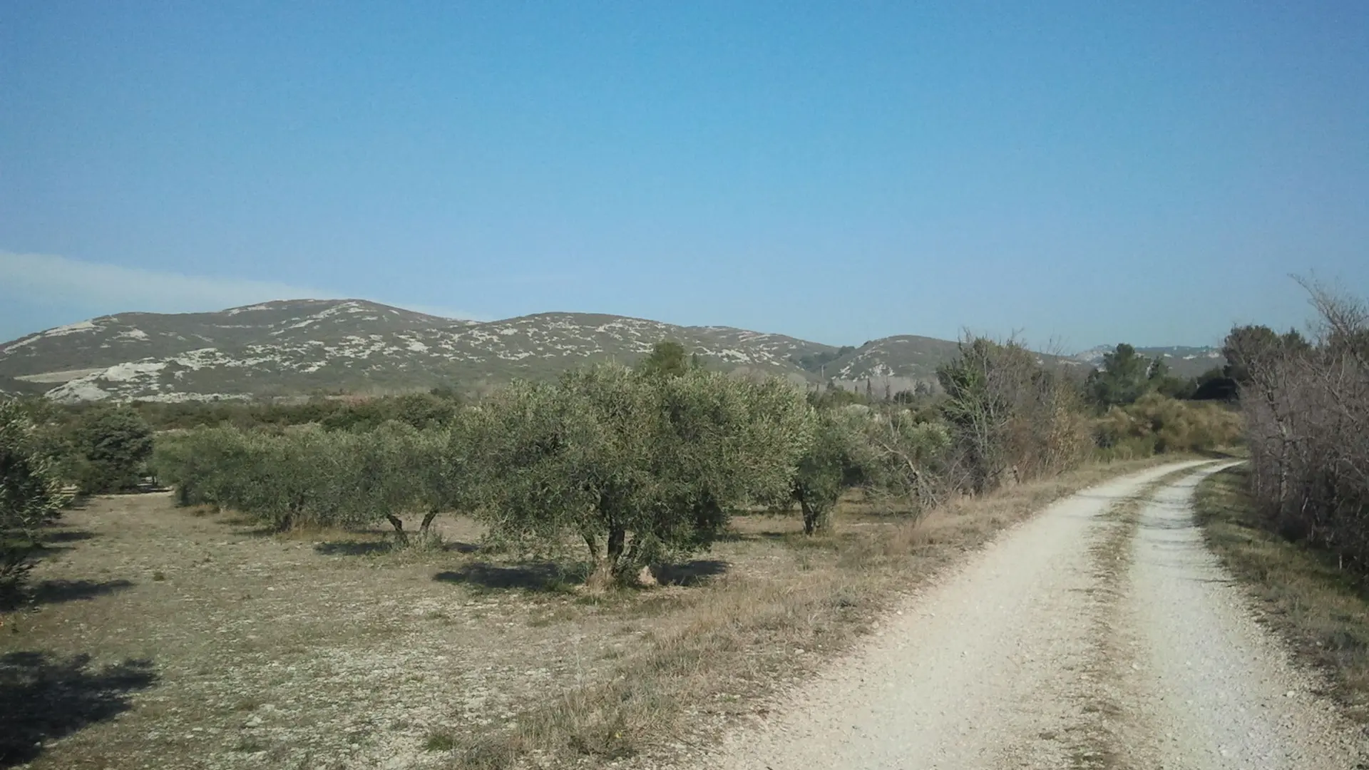
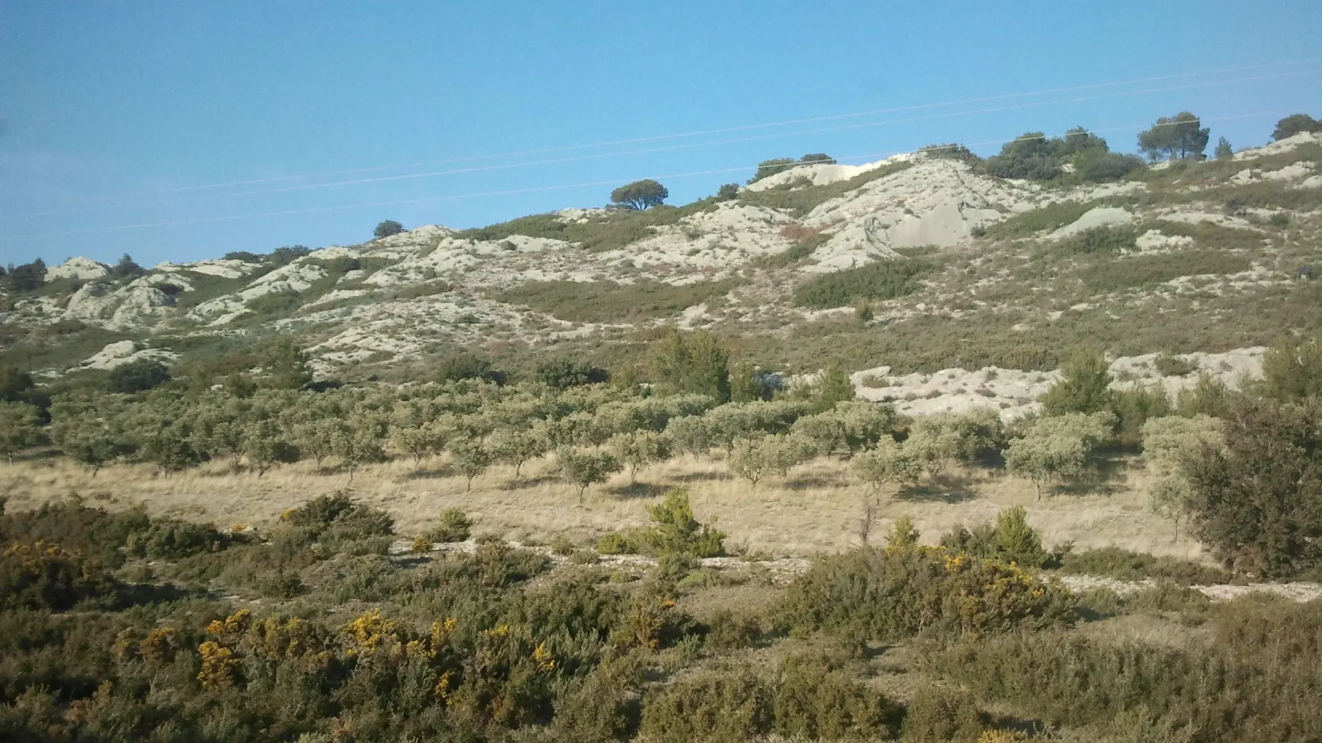
5 - Cross the D24 and continue towards the former sand pit. 800m further, cross the Baux valley canal. Continue to the right and get back on the path by the Gaudre de Malaga, heading towards Mouriès. Cross a large olive grove and a small bridge over the Gaudre. Get back on the Route de Servanes.
6 - Go past the Castle of Servanes to the left and continue on the Route de Servanes until the starting point of the hike in central Mouriès.
Medium
Read more