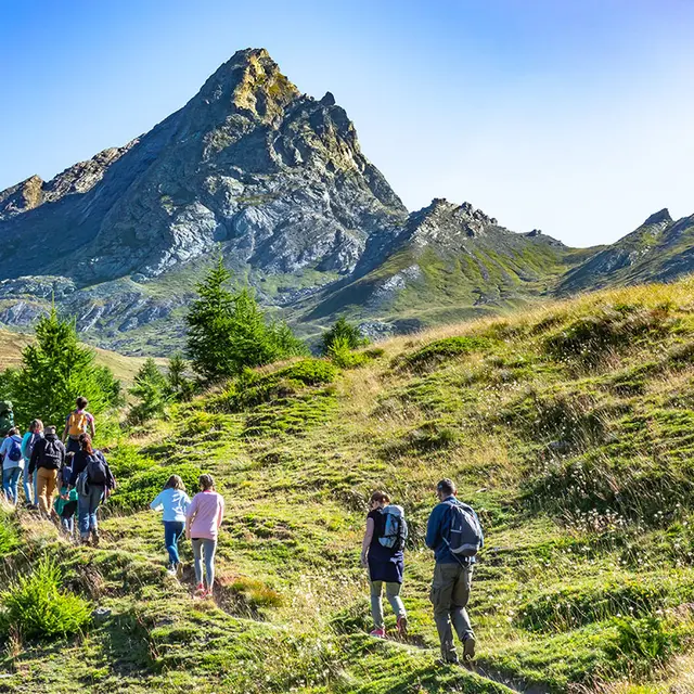
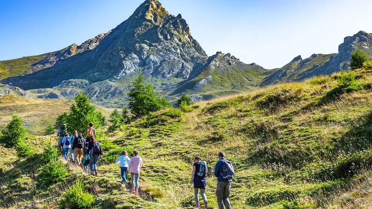
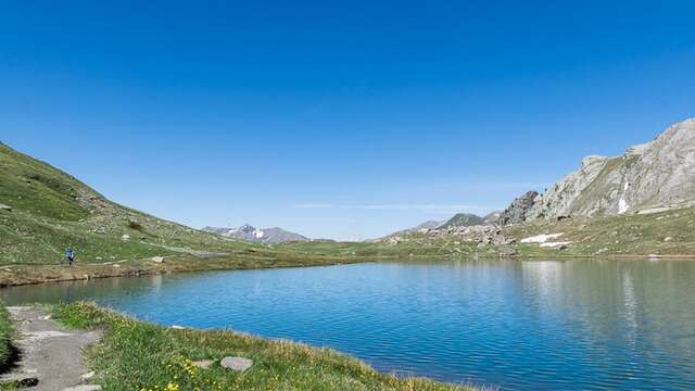
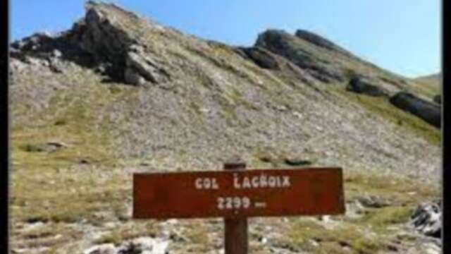
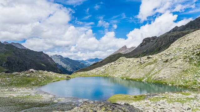
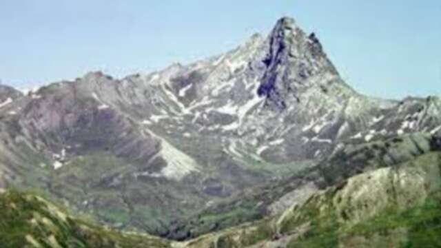
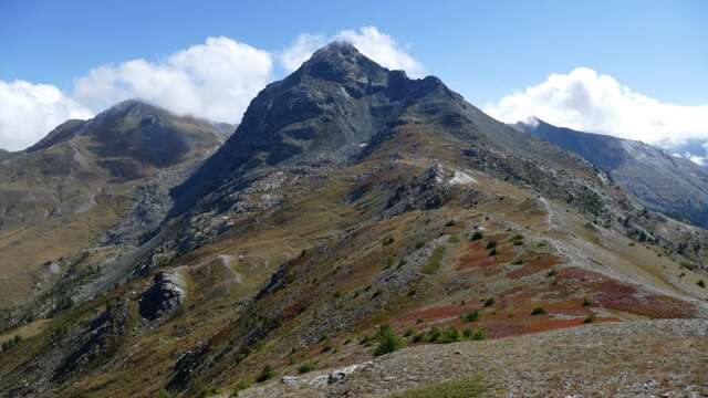
Surrounded by the mythical peaks of the Queyras region, you won't know where to turn!
From mélézin to mélézin, passing through golden fields of grasses, rich wetlands, rocky deserts... this trail will take you on a journey through a thousand landscapes. Don't miss the superb views of Bric Bouchet, Bric Froid, Pelvas and Mont Viso.
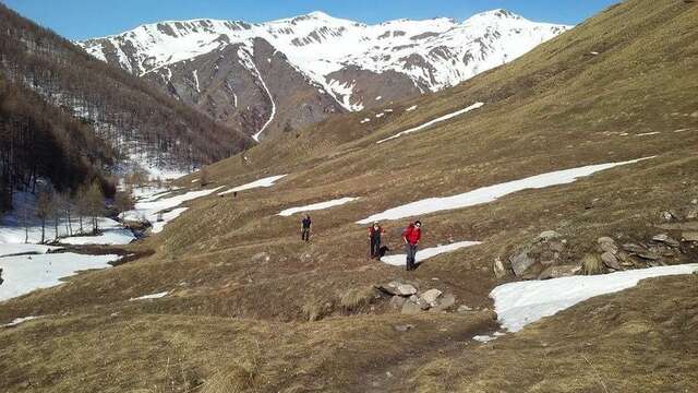
In spring and autumn, conditions are changeable, and even without snow the trail can be icy. As a result, the reflex in the mountains is to "go out well equipped". In my bag, I slip or I hang: crampons and poles.
In winter, the right reflexes are: snowshoes, poles, gloves, hat, sun cream and... a survival blanket! Experience is essential, and knowing when to give up is sometimes preferable to taking risks. And if you're new to the mountains, don't hesitate to call in a professional! Before going out, I check the Météo France Montagnes and BERA bulletins (risks and avalanches).