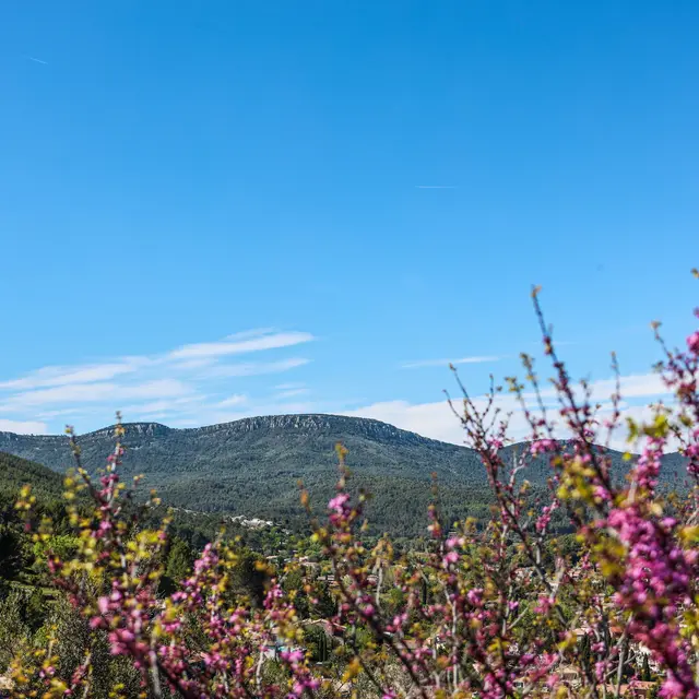
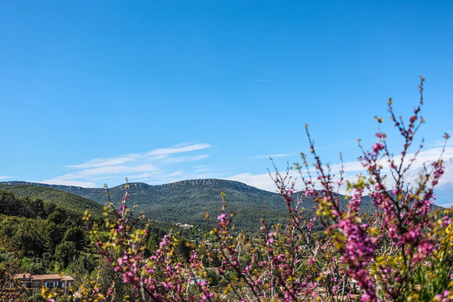
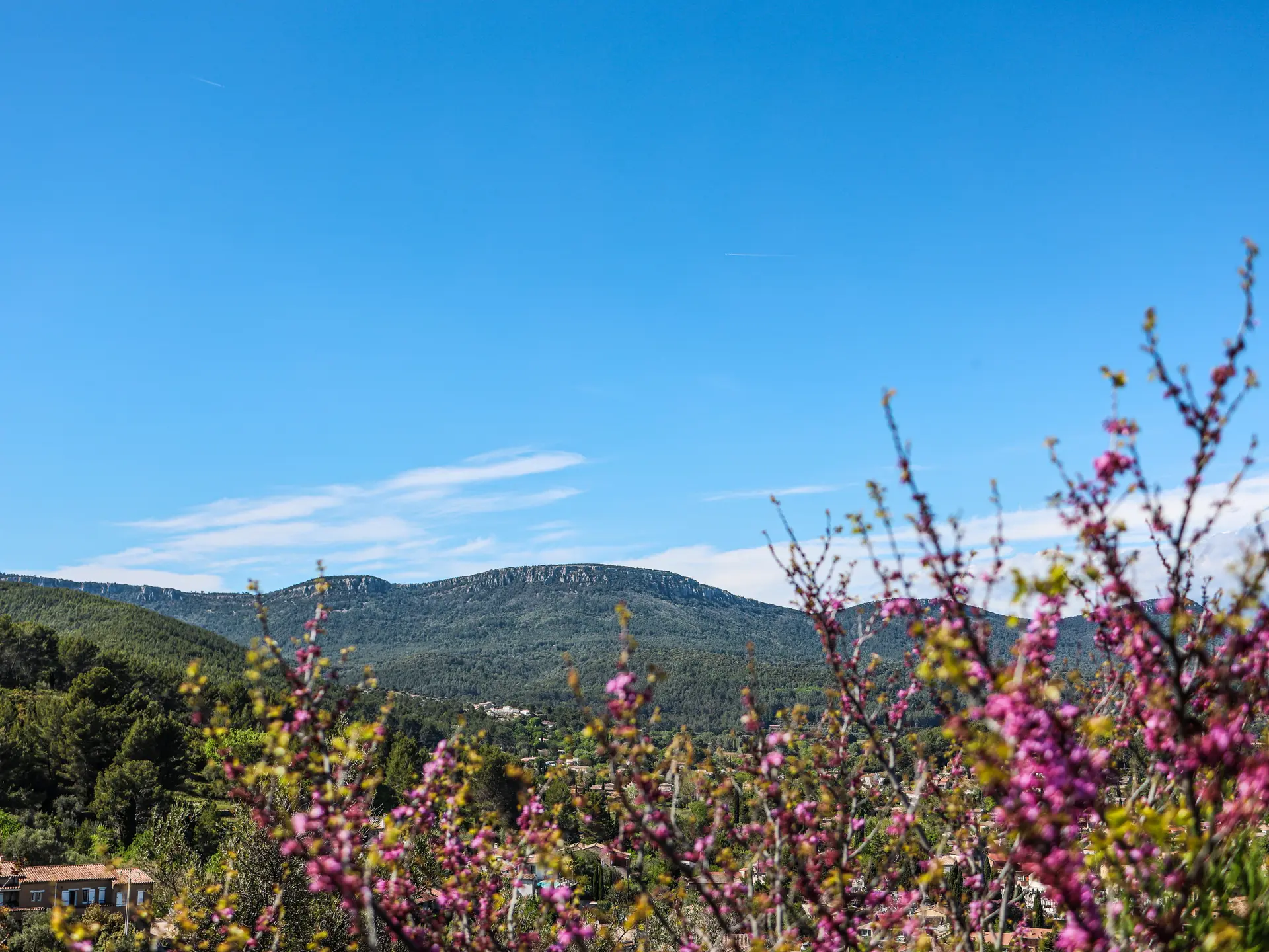
A 17.3km hike offering panoramic views of the Coudon, Notre-Dame des Anges and the Barres de Cuers. Forest as far as the eye can see and superb panoramas from the summits.
Panoramic views of the Coudon, Notre-Dame des Anges and the Barres de Cuers. Forest as far as the eye can see and superb panoramas from the summits.
ROUTE:
From the hikers' car park, take the Issemble track up to the DFCI track junction (cistern). Continue straight ahead on the track until you come to a 2nd track junction (place called Gazelle), take the 2nd track on the left (chemin des jeunes) and leave it a few metres further on at a bend to climb a path to the Baisse des Châtaigniers.
Continue straight ahead on the path to go down to the Chaumadou track, take the track on the right to the Baisse du Castellas (ideal place for a picnic).
Stay on the Chaumadou track and continue as far as Baisse des Contes. After about 500m, leave the main track and take the path on the right at the foot of the H. T. pylon. After a ford, you come to the tarmac road, which you take up to the right. Leave it 10 minutes later to take the Vallon de Beaussénas road (dirt track for 3 km), leaving the Ravanas road on the right, then the Trayas road to reach a ford. Turn completely left (hairpin bend) and follow the track that rises up under the oaks to reach side 128, the place known as Gazelle. At azimuth 120, take the Issemble track on the left towards the starting point.
TIME:
- On foot: 6h
- By bike: 2h30
TIPS AND RECOMMENDATIONS:
- Bring hiking boots or trainers, water, hat or cap.
- Always keep up to date with the weather conditions.
- During the hunting season, stay on the marked trails.
- In an emergency, call 112 for help.
- It is forbidden to drive or park motorised vehicles on DFCI roads all year round. From June to September, before driving in the Var mountain ranges, check the opening conditions on the fire risk map (updated at 5pm every day for the following day) or by calling the tourist office.