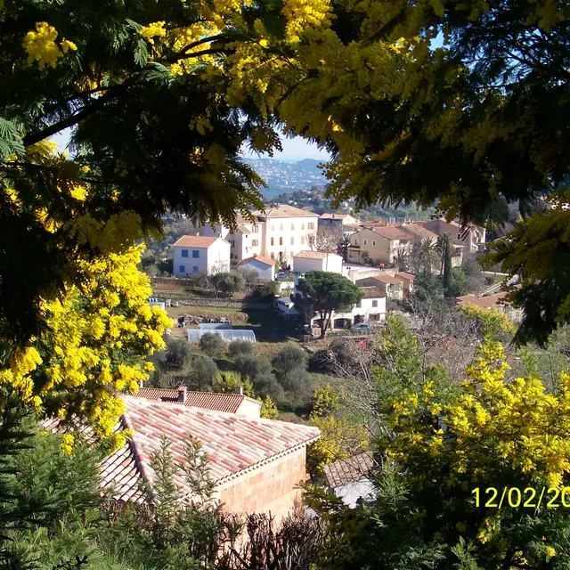
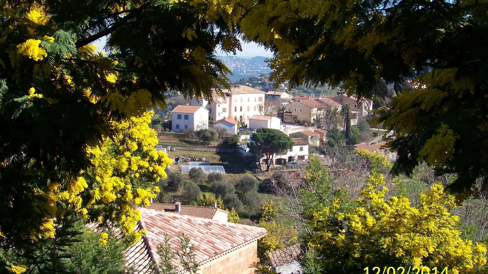
This is the easternmost commune of the Pays de Fayence in the Var department and the one featuring the most mimosa flowers, with its abundant "yellow forests".
This is the largest area in France planted with both cultivated and wild mimosa.
Around 1880, the mimosa, originally from Australia, made its appearance on the Côte d'Azur.
In 1964, running water arrived in the village of Tanneron.
Clinging to hillsides planted with mimosa, strawberries, flowers, heather, olive trees, pines, chestnut trees and cork oaks, the commune of Tanneron is made up of 22 hamlets.
The cultivation of mimosa throughout the Tanneron area is now one of the finest treasures of this charming commune. These fluffy, bright yellow, fragrant little balls are beautiful to see in their natural environment.
Tanneron is located at km 112 of the Route du Mimosa.
> STARTING POINT
Free parking in the village of Tanneron - Hikers' car park or at the church.
Departure: Tourist Office
GPS coordinates: 43.590748, 6.875309
> ITINERARY
A - Place de la Maire
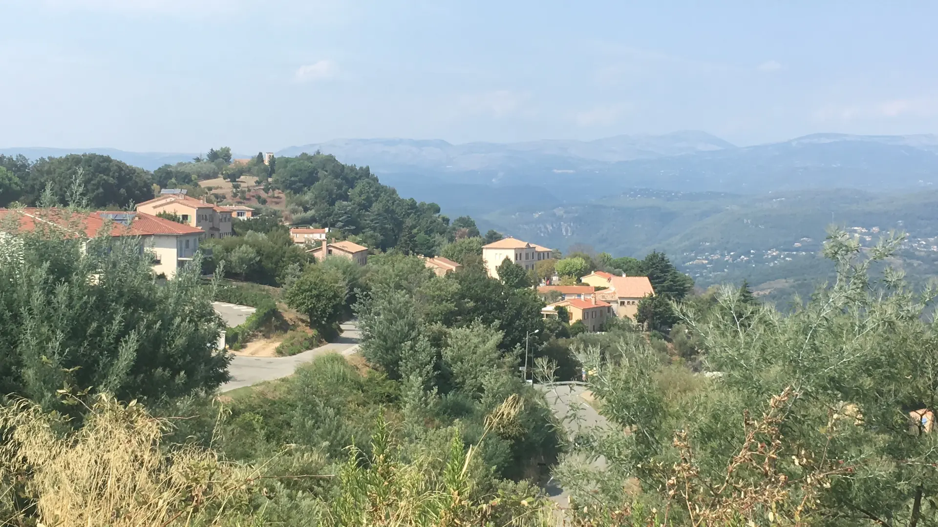
Panoramic view over the Alpes-Maritimes from Grasse to the Bay of Cannes.
The square is home to a typical Provencal café dating from 1865. A little anecdote: Georges Clémenceau, MP for Var, is said to have stayed there in 1889! Opposite it, a water tank dating back to 1888 supplied the townspeople before water was pumped from the River Siagne in 1964. Behind the town hall, you can admire a pretty square and its fountain, renovated in 1997.
Cross the square in the direction of the war memorial, built in 1921, continue along the Chemin de la Grille and turn left into the Carreiros district.
B - Carreiros district / A little history
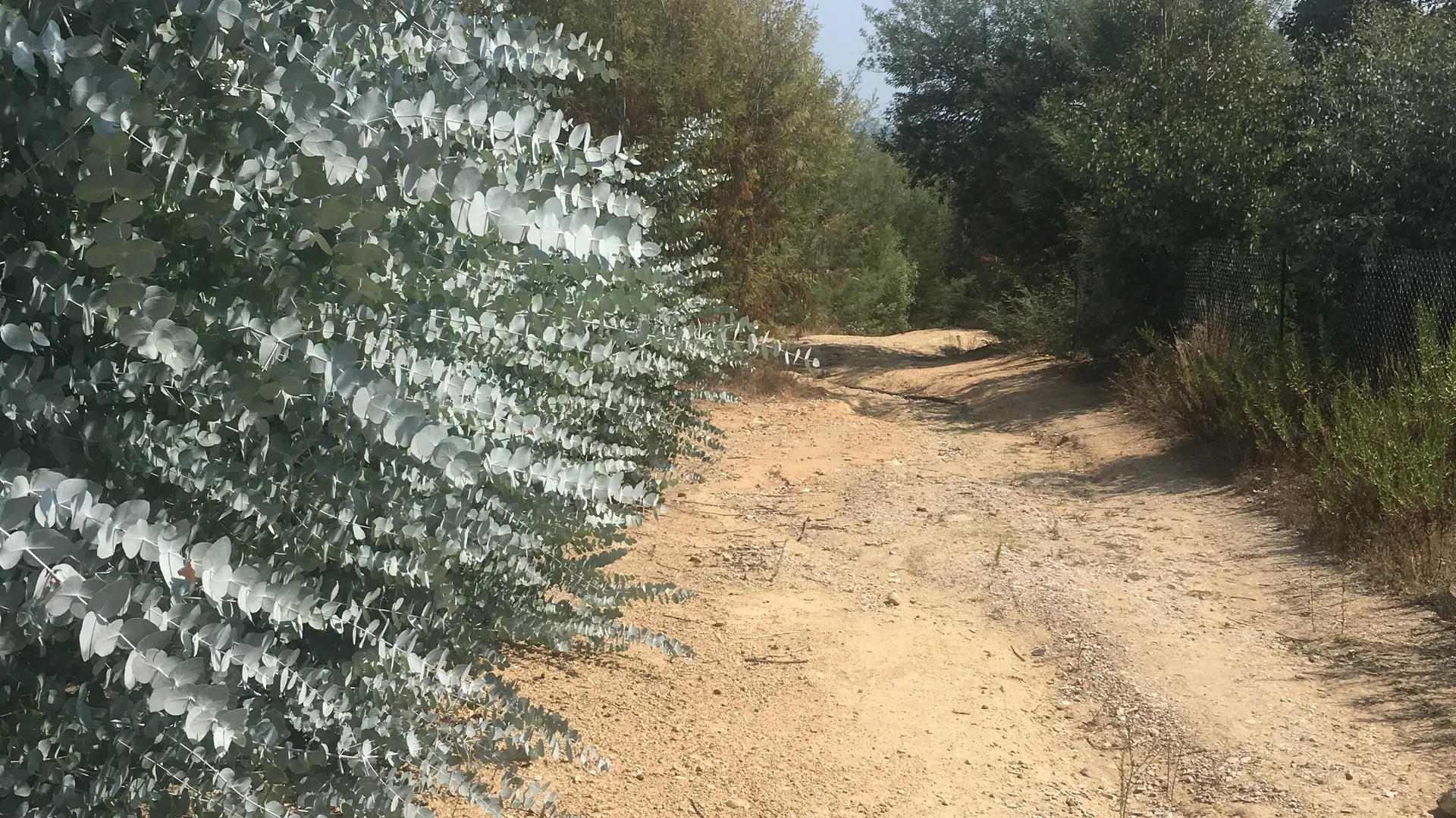
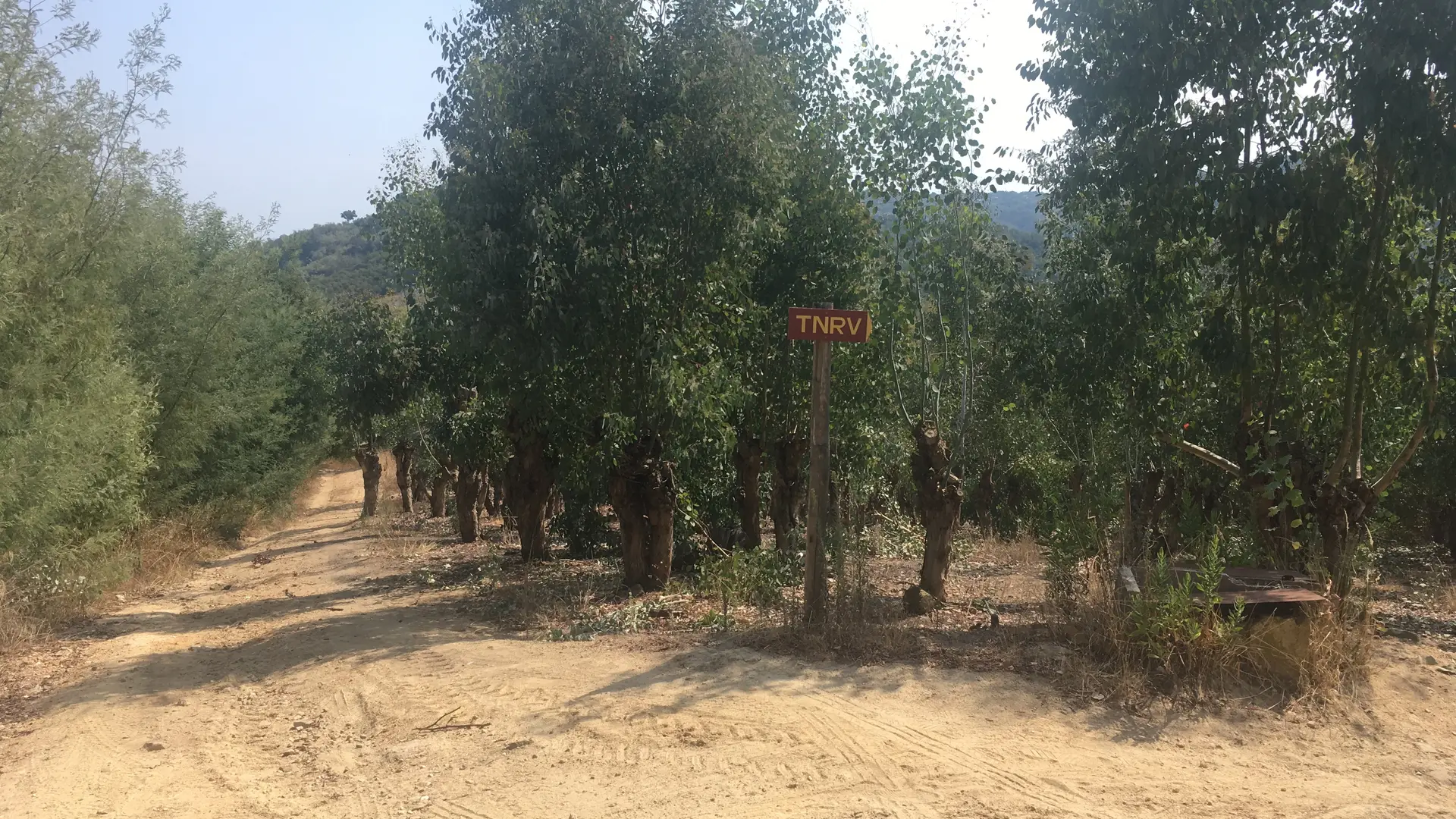
View over the Bay of Cannes and the Mediterranean Sea. Continue along a dirt track where you turn right around the Colle d'Embarque district to access the walk through the mimosa plantations.
At the end of the path, rejoin the tarmac track and take the dirt track on the left, Touordam (towards the municipal stadium) as far as the junction with the DFCI track: Touordam.
On the road leading to the stadium, turn right and continue along the dirt track.
Follow the signposts on the track around the village towards Notre-Dame de Peygros.
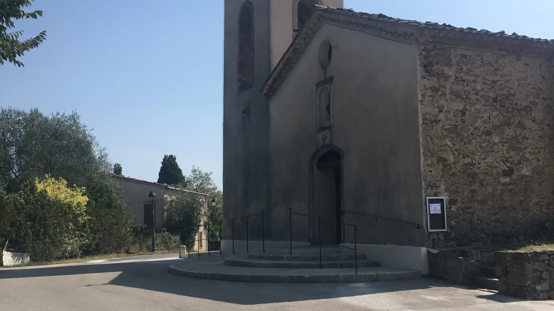
C - The church of Notre-Dame de Peygros
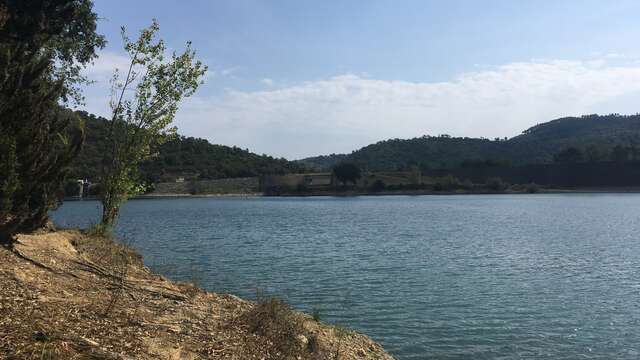
The church is located at the top of the hill where the view takes in Lake Saint-Cassien, Mont-Lachens (1,714 metres), Grasse and the village of Tanneron.
The small Peygros chapel, now a church, was enlarged by its inhabitants between 1839 and 1844. Everyone contributed to the renovation by making their own contribution. The chevet has a semicircular apse and the faade is flanked by the square bell tower with its two bells, financed by local residents. From the church, head towards the Hubert Rouaud school, built in 1972. At the junction with the D38, turn right towards the village.
RECOMMENDATIONS
Sports shoes recommended
Don't hesitate to visit the Tourist Office for more information and a map.
Read more