See photos (2)

Baou Mourine

Sport, Cycling sports, Mountain biking itinerary in Escragnolles
Unresolved hours
11.6 km
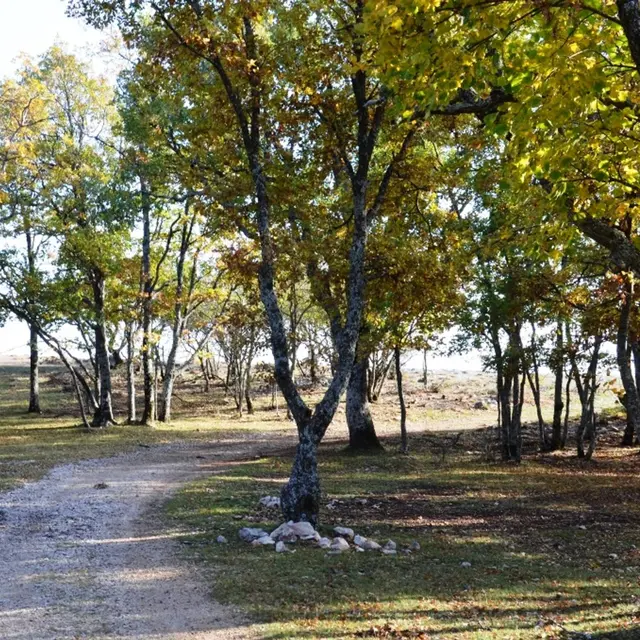
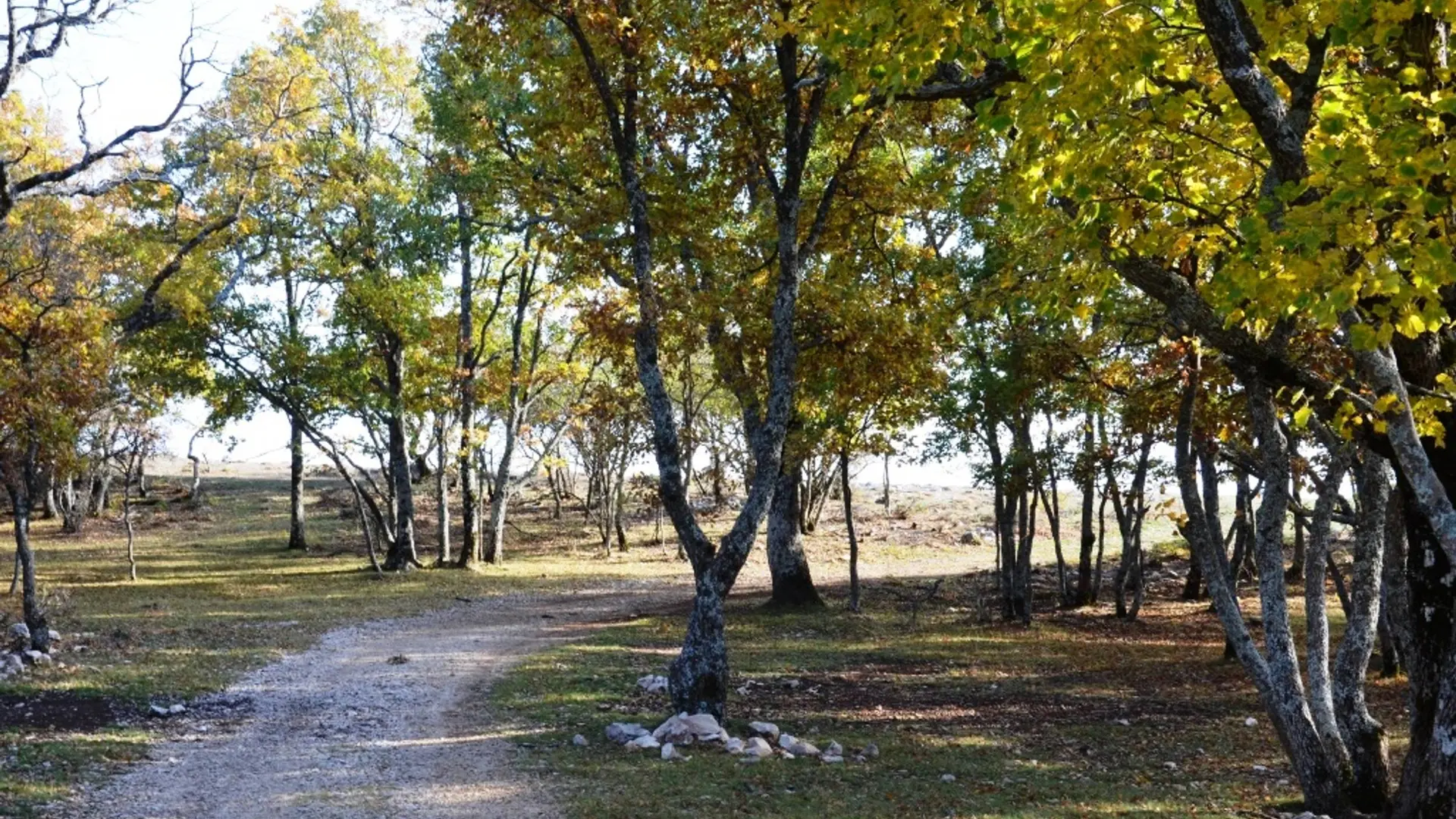
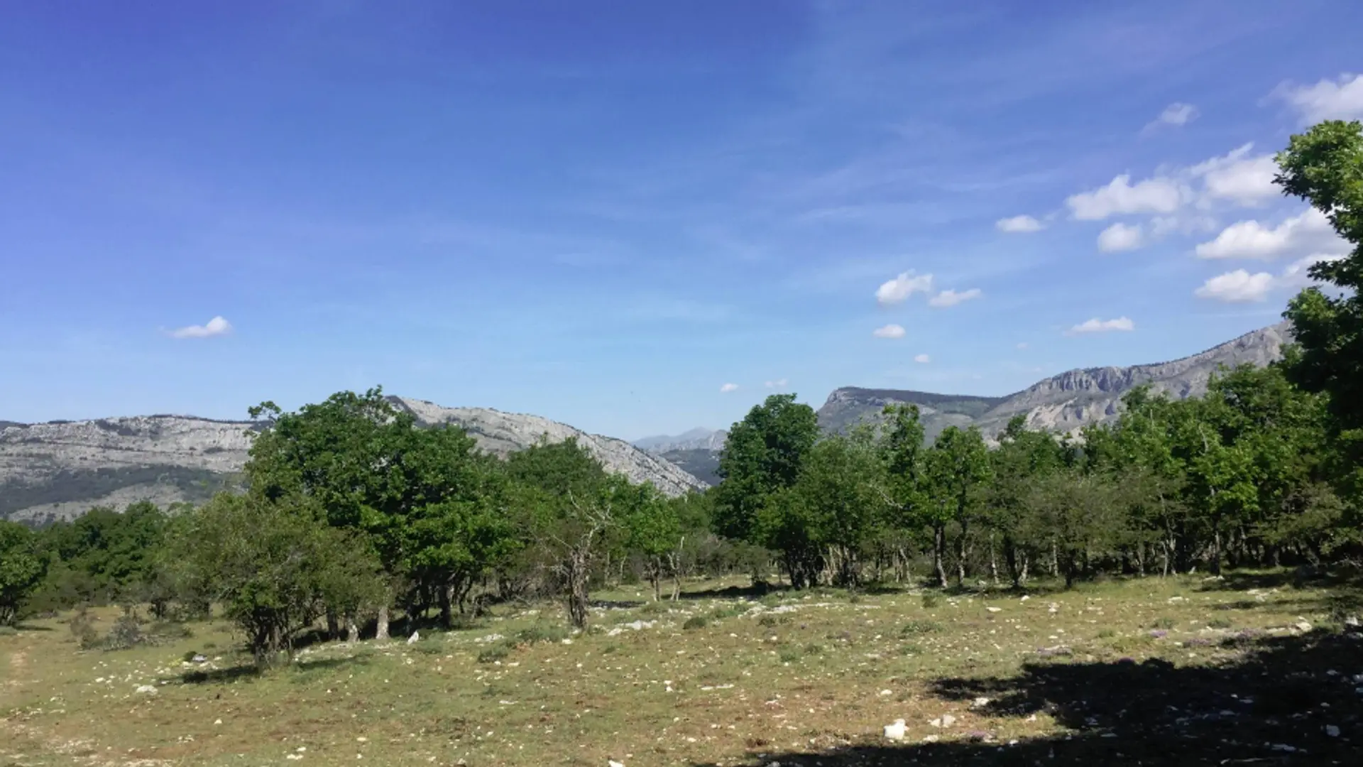
  • A mountain bike ride to share with family in a wild nature on the Briasq trail that will take you to a lookout post with an exceptional view.

  • Back to the car park, turn right on a small paved road, cross the village of Escragnolles before joining the Colette car park 750 m further.
    1- Take the Briasq Forest Trail in a southerly direction to Beacon 85 (PR).
    2- Turn right on a stony track. Continue for 250 m.
    3- Leave it to take a left at a barrier D.F.C.I. and continue for 1.5 km to the forked intersection Turn left and go to the point of view of Baou Mourine where is watchtower established.
    4- Make the return by the same...
    Back to the car park, turn right on a small paved road, cross the village of Escragnolles before joining the Colette car park 750 m further.
    1- Take the Briasq Forest Trail in a southerly direction to Beacon 85 (PR).
    2- Turn right on a stony track. Continue for 250 m.
    3- Leave it to take a left at a barrier D.F.C.I. and continue for 1.5 km to the forked intersection Turn left and go to the point of view of Baou Mourine where is watchtower established.
    4- Make the return by the same route.

    Very easy
  • Departure
    Escragnolles
  • Difference in height
    329.333 m
  • Departure : Village of Escragnolles.
    Arrival : Escragnolles.
    9 km east of Grasse, by the D2285 and D2210 or 25 km north of Cagnes-sur-Mer, by the RD2210.
    Parking recommended : Escragnolles, parking situé à l'entrée ouest du village, au bord de la Route Napoléon (D6085) .
  • Documentation
    GPX / KML files allow you to export the trail of your hike to your GPS (or other navigation tool)
329 meters of difference in height
Created with Highcharts 6.2.0Distance (km)Altitude (m)0 km1 km2 km3 km4 km5 km6 km7 km8 km9 km10 km11 km975 m1000 m1025 m1050 m1075 m1100 m1125 m1150 m1175 mHighcharts.com
  • Maximum altitude : 1153 m
  • Minimum altitude : 990 m
  • Total positive elevation : 329 m
  • Total negative elevation : -245 m
  • Max positive elevation : 153 m
  • Min positive elevation : -141 m