Vélo au Laverq

Barcelonnette - Laverq Abbey

Sport, Cycling sports, Cycle tourism route in Barcelonnette
24.1 km
  • Pristine and unspoilt.

    A beautiful walk exploring the Vallon du Laverq, in the magnificent Ubaye Valley.

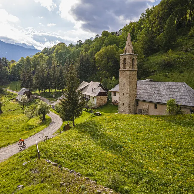
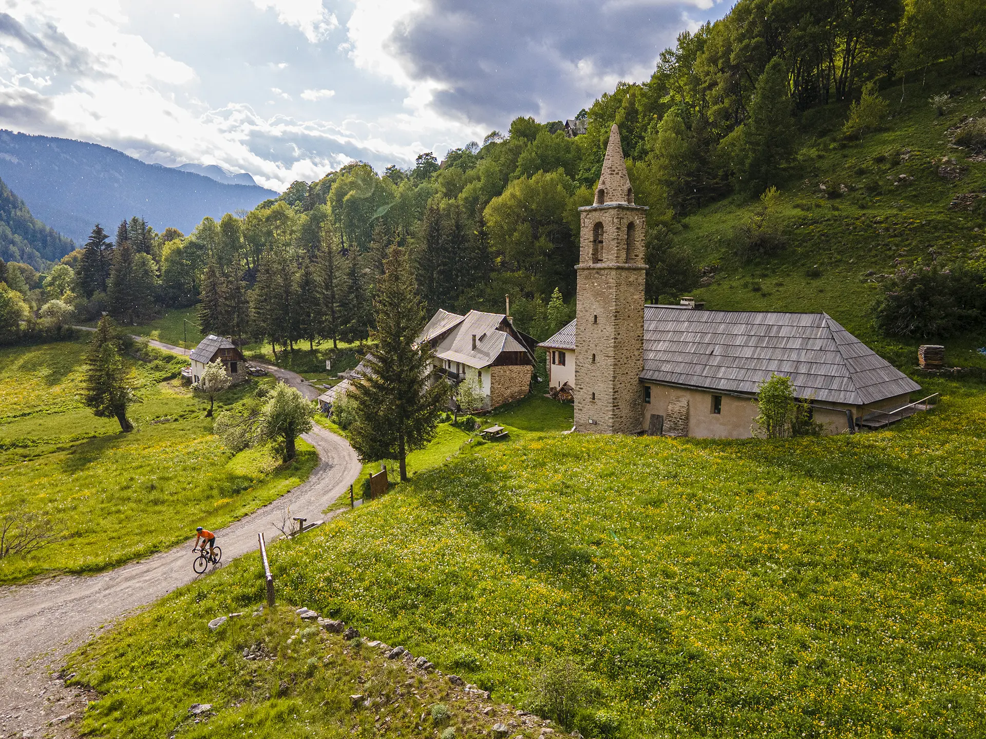
  • This is one of the most famous itineraries in the Ubaye valley, the kind of destination you go to with your eyes shut and the certainty of a successful outing: an exceptional setting, typical hamlets and villages, vibrant colours at all times of year, wildlife everywhere...

    Descend from Barcelonnette to Le Martinet, then climb quietly and shaded through the Riou de la Blanche valley to Les Clarionds.

    Follow the Gravel or mountain bike route to the Laverq abbey.
  • Departure
    Barcelonnette
  • Difference in height
    738.944 m
  • Plain text rates
    Free of charge.
  • Documentation
    GPX / KML files allow you to export the trail of your hike to your GPS (or other navigation tool)
739 meters of difference in height
  • Maximum altitude : 1595 m
  • Minimum altitude : 960 m
  • Total positive elevation : 739 m
  • Total negative elevation : -293 m
  • Max positive elevation : 307 m
  • Min positive elevation : -62 m