Ideal walk to discover the old Jas typical of Haute-Provence, these are old sheepfolds now abandoned.
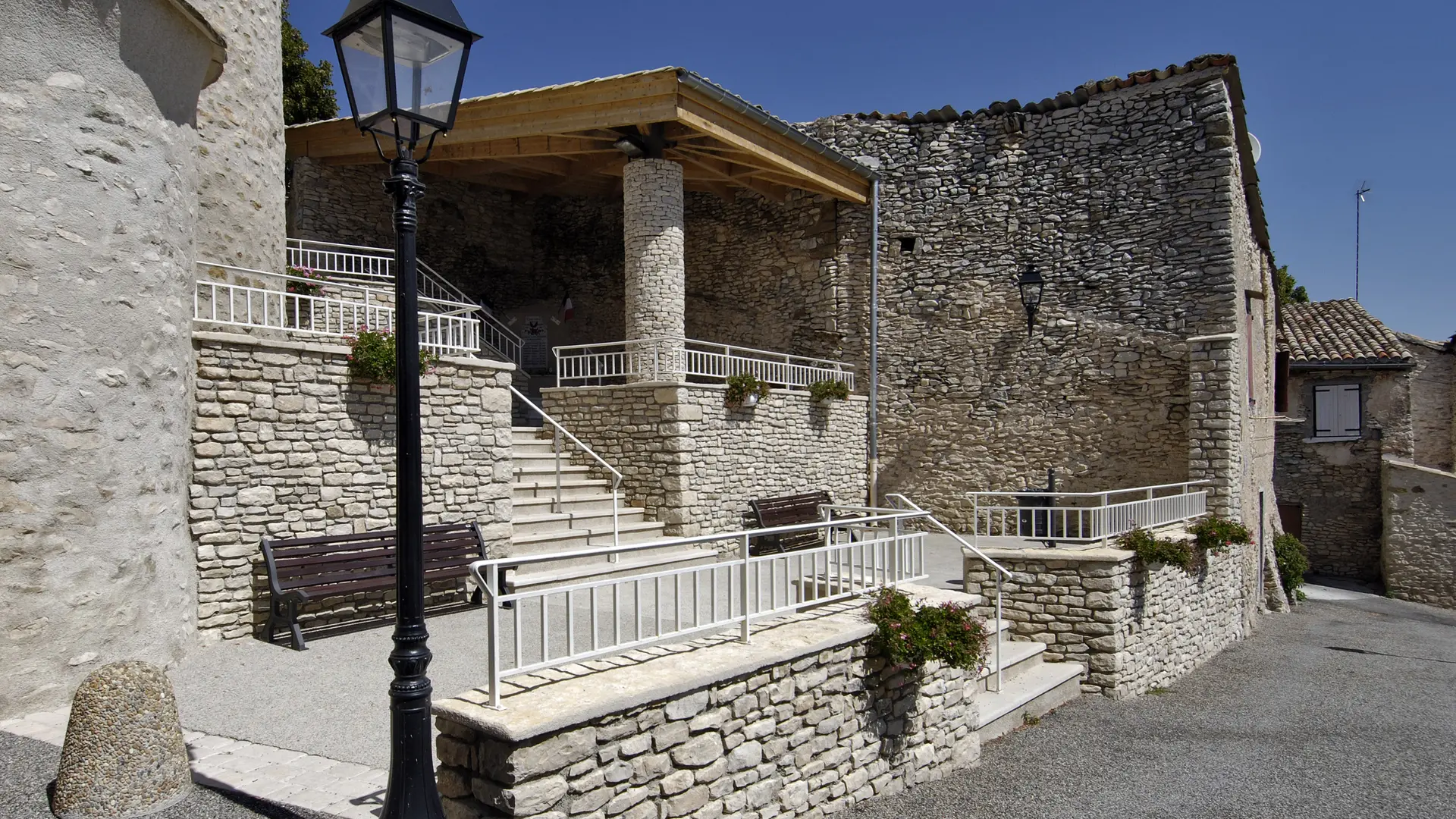
Head towards the village centre and turn left to pass in front of the town hall. Stay on the tarmac road towards the campsite for 500 m then go down to the bridge, near the Jas de Figuery. Then take a long path uphill which leads to the Bas Col. At the top turn left towards the chapel of Augès to reach the highest point of the hike. On the way back down, pass in front of the Jas des Lioux, then return by a pleasant path offering a pretty view of the village of Mallefougasse and the Lure mountain.