- Voir les favoris
Batterie de Roche-la-Croix
Sport, Cycling sports, Mountain biking itinerary
in Val d'Oronaye
8.8
km
1h
Medium
-
Start from the centre of the village of Meyronnes.
-
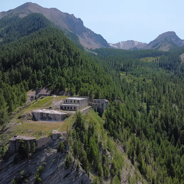
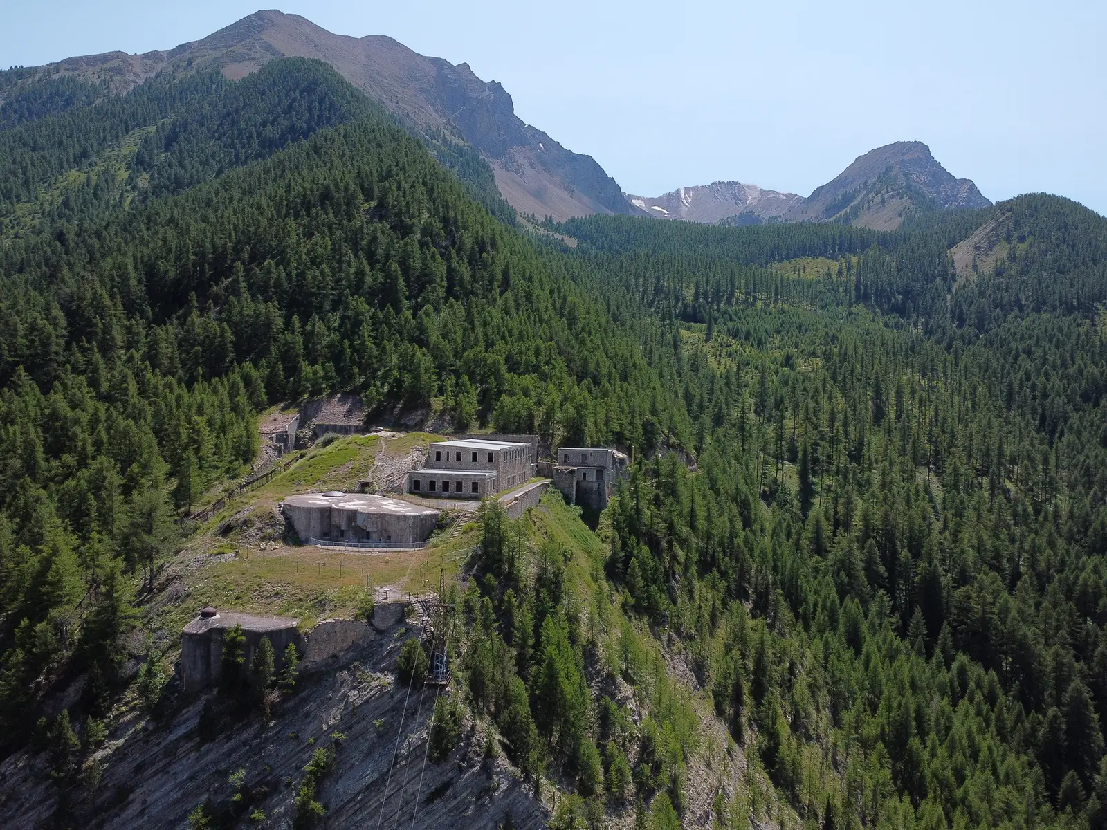
Head towards the Col de Larche for 200m, then quickly right onto a downhill track, followed by a steep, concrete climb.
Finally the track becomes gentler, and the climb is steady all the way to the Roche la Croix fort.
The descent takes the same route.
There is a signposted alternative via an attractive footpath (a little more technical, so watch out for walkers).
- Departure
- Val d'Oronaye
-
-
Difference in height
- 519.323 m
-
-
-
Plain text rates
- Free access.
-
-
-
Documentation
- GPX / KML files allow you to export the trail of your hike to your GPS (or other navigation tool)
-
-
-
Accepted customers
-
- See all reviews
- 519 meters of difference in height
-
- Maximum altitude : 1933 m
- Minimum altitude : 1521 m
- Total positive elevation : 519 m
- Total negative elevation : -519 m
- Max positive elevation : 222 m
- Min positive elevation : -316 m
