See photos (3)

Bike loop around Chabre

Sport, Cycling sports, Cycle tourism route in Laragne-Montéglin
68.5 km
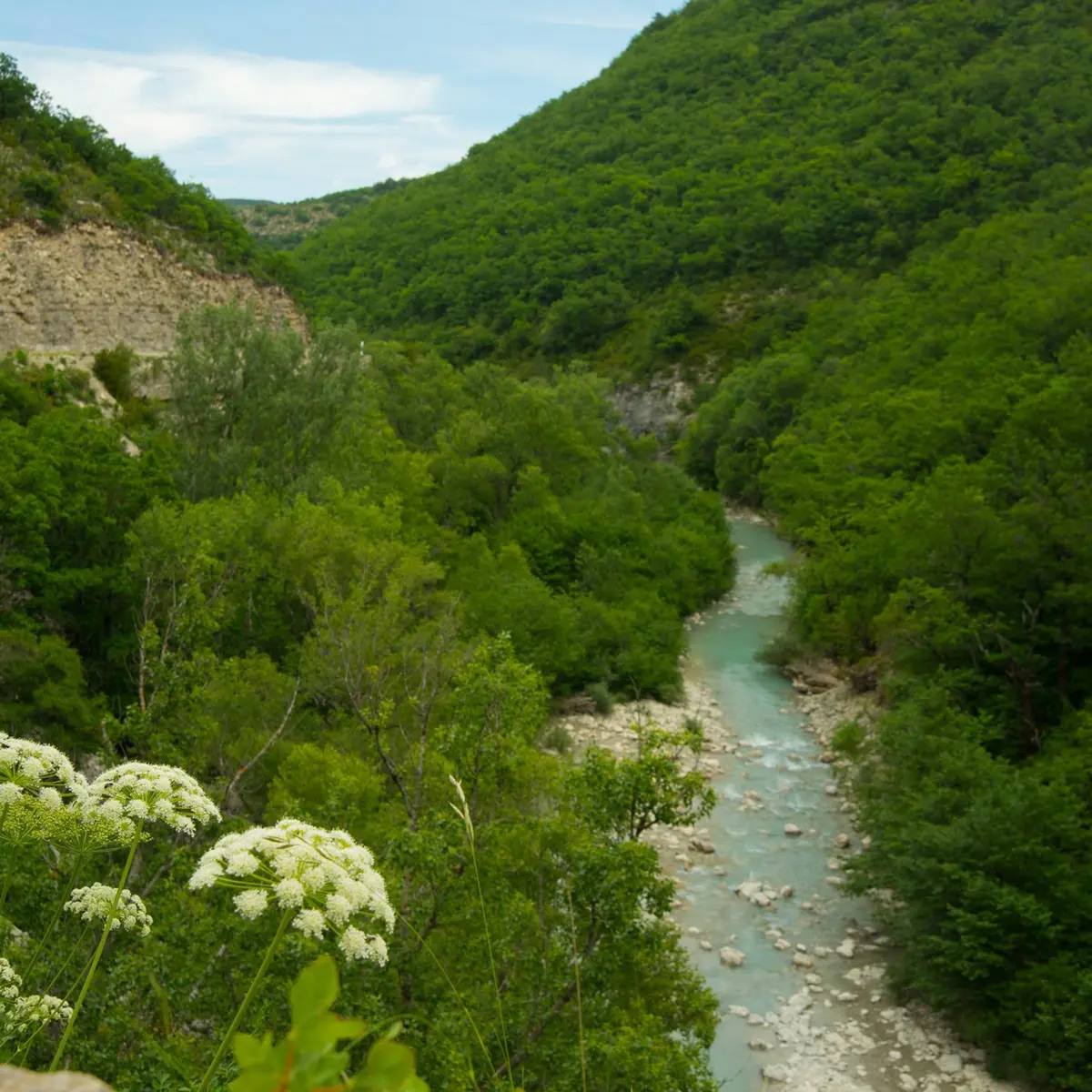
  • This circuit allows you to discover the Méouge-canyon, to ride alongside the Lavender roads, to enjoy the view of the Céans valley and to discover the medieval village of Orpierre.
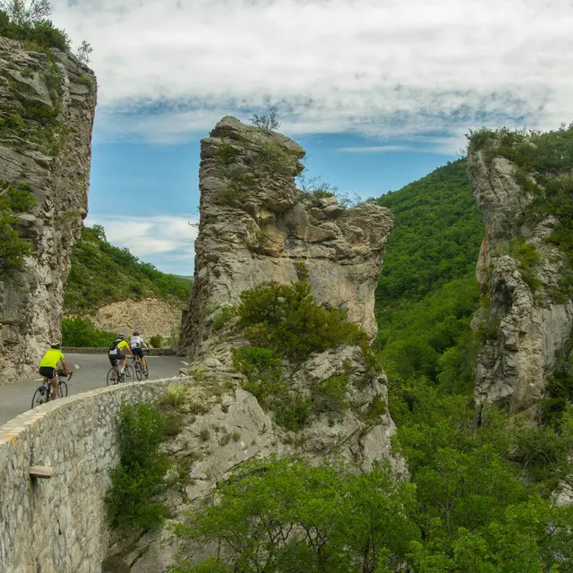
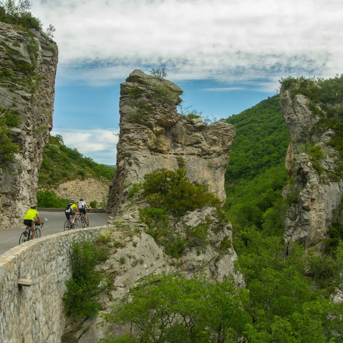
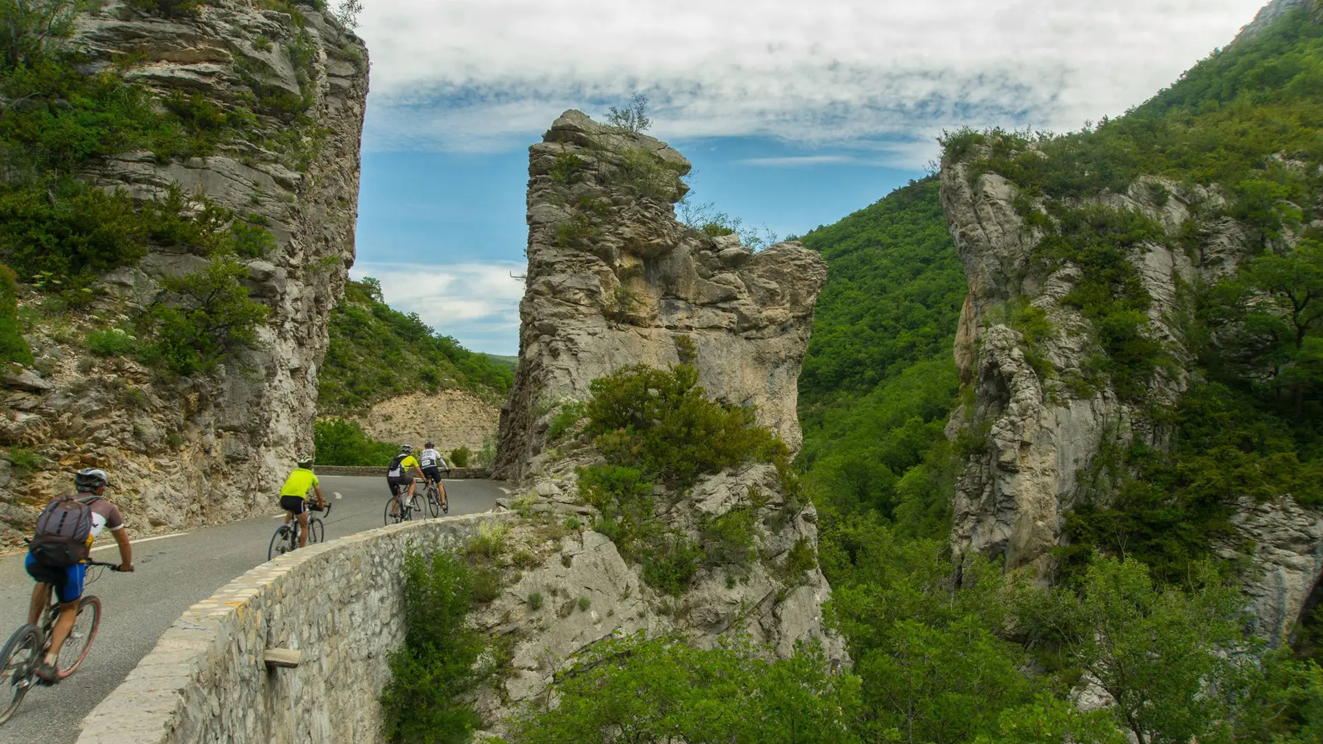
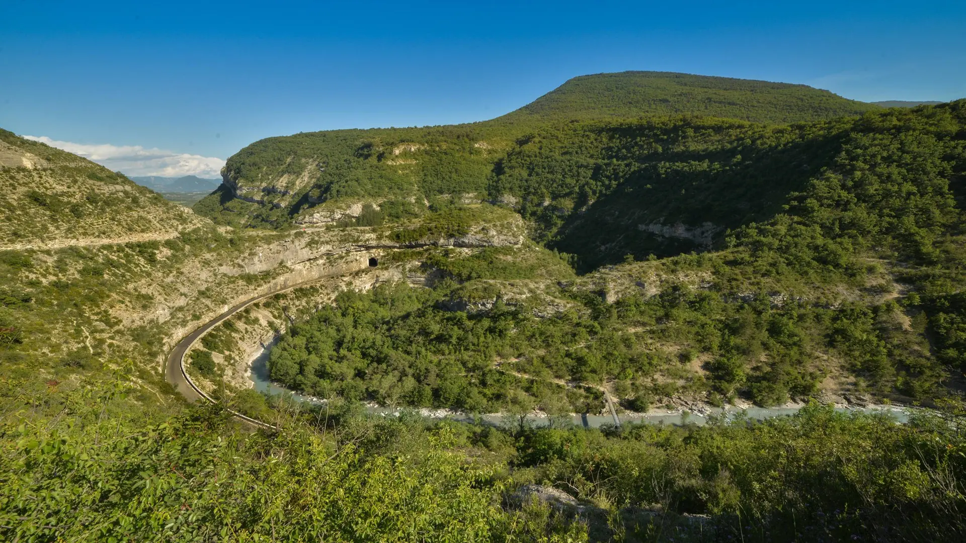
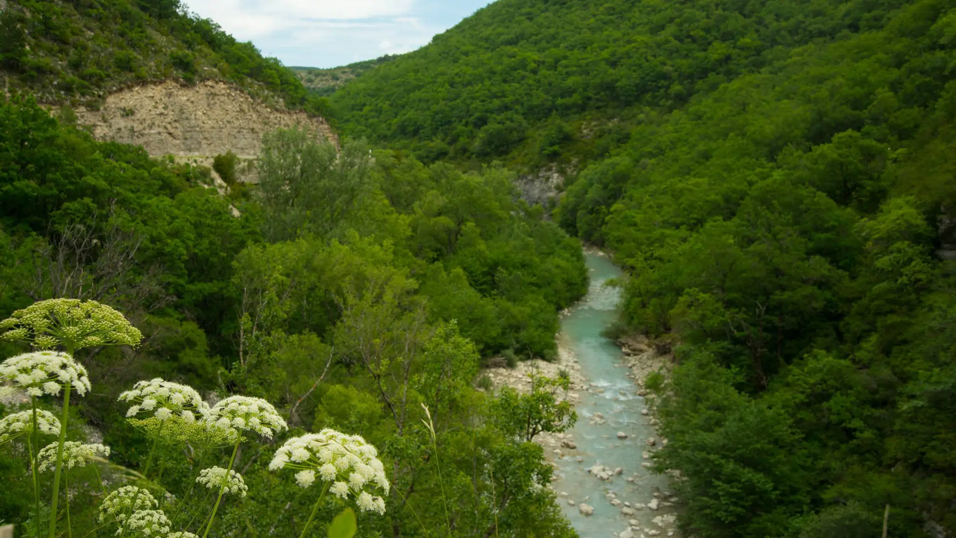
  • The first kilometers, starting in Laragne-Montéglin, take place on a beautiful and secure road until the Méouge canyon, via Châteauneuf-de-Chabre.
    For the crossing of the gorges, natural landscape astonishing by its geological characteristics and its Romanesque bridge, you’ll ride along a winding and slightly uphill road before climbing for a few kilometers in direction Chabre (marked route), which is an internationally renowned site for hang gliding.
    Pass the gorges and Barret-sur-Méouge,...
    The first kilometers, starting in Laragne-Montéglin, take place on a beautiful and secure road until the Méouge canyon, via Châteauneuf-de-Chabre.
    For the crossing of the gorges, natural landscape astonishing by its geological characteristics and its Romanesque bridge, you’ll ride along a winding and slightly uphill road before climbing for a few kilometers in direction Chabre (marked route), which is an internationally renowned site for hang gliding.
    Pass the gorges and Barret-sur-Méouge, you’ll continue on a quiet and flat road, colorful and scented, bordered by long fields of lavender; then you’ll enter the Drôme Provençale. After the village of Eygalayes, the Saint-Jean pass begins with its 6 km of slopes approaching 8% declivity.
    Once you have reached its summit at 1,159 m above sea level and have taken a look at the panorama of the Ceans valley, you’ll start a descent to Laborel and will continue on the "route des Princes d'Orange" following the course of the Ceans-River  direction  Orpierre, ancient city of the Baronnies, stronghold of the Princes of Orange in the 11th century. The return to Laragne-Montéglin is a ride through fruit orchards, at the foot of the hilltop village of Lagrand, then towards Saléon through a wooded road with reasonable hilly terrain.

    Medium
  • Departure
    Laragne-Montéglin
  • Difference in height
    1212.17 m
  • Departure : Center of the village, Laragne-Montéglin.
    Arrival : Center of the village, Laragne-Montéglin.
    Road access : From Sisteron (18 km), follow the D 4075 then the D 1075 north to Laragne-Montéglin..
    Parking recommended : Parking du superpermarché Casino, Laragne-Montéglin .
    Public transport :
    Limit travelling, use public transportation and carpooling: www.pacamobilite.fr
    .
  • Documentation
    GPX / KML files allow you to export the trail of your hike to your GPS (or other navigation tool)
1212 meters of difference in height
  • Maximum altitude : 1179 m
  • Minimum altitude : 539 m
  • Total positive elevation : 1212 m
  • Total negative elevation : -1182 m
  • Max positive elevation : 229 m
  • Min positive elevation : -160 m