
- Voir les favoris
See photos (2)
Bois de la Julie
Sport, Pedestrian sports, Hiking itinerary
in Prads-Haute-Bléone
13.3
km
6h
Very difficult
-
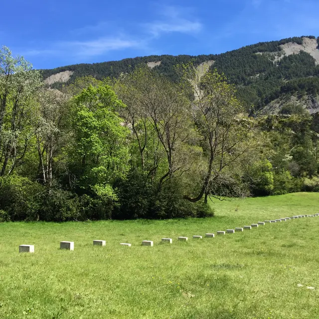
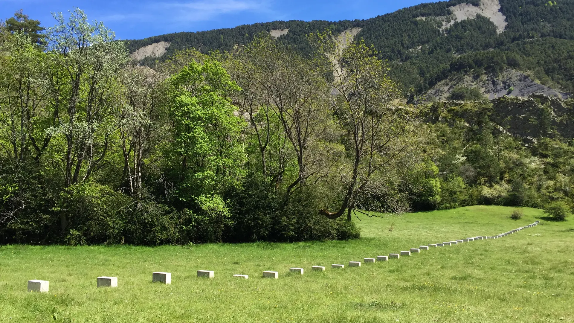
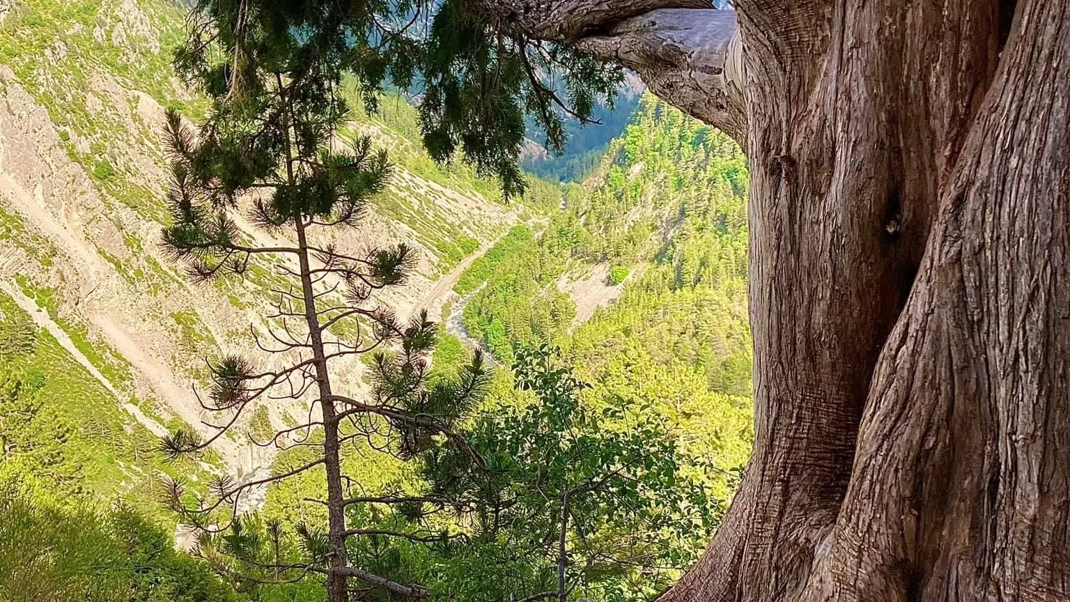
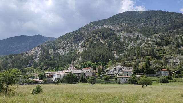
Magnificent circuit of the day, a real little trip "elsewhere" to advise you in summer, because we are often in the undergrowth, mainly of Scots pines. Discovery of the ruined village of Vière on the edge of the Galèbre and the hamlet of Saume Longe.
- Departure
- Prads-Haute-Bléone
-
-
Difference in height
- 958 m
-
-
-
Environment
-
-
-
Spoken languages
-
-
-
Documentation
- GPX / KML files allow you to export the trail of your hike to your GPS (or other navigation tool)
-
-
-
Accepted customers
-
- See all reviews
- 958 meters of difference in height
-
- Maximum altitude : 1744 m
- Minimum altitude : 1177 m
- Total positive elevation : 958 m
- Total negative elevation : -958 m
- Max positive elevation : 294 m
- Min positive elevation : -348 m
Services
-
-
Equipment
-
