See photos (6)

Bonnet Rouge

Sport, Pedestrian sports, Hiking itinerary in L' Épine
18.4 km
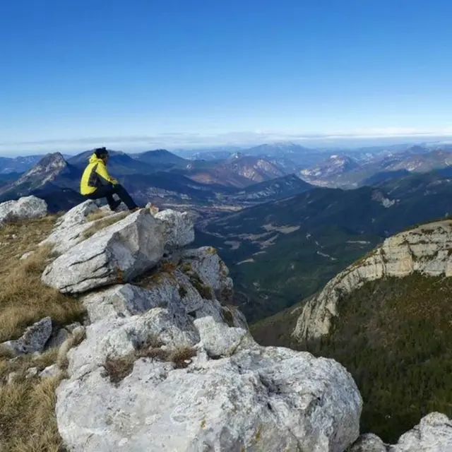
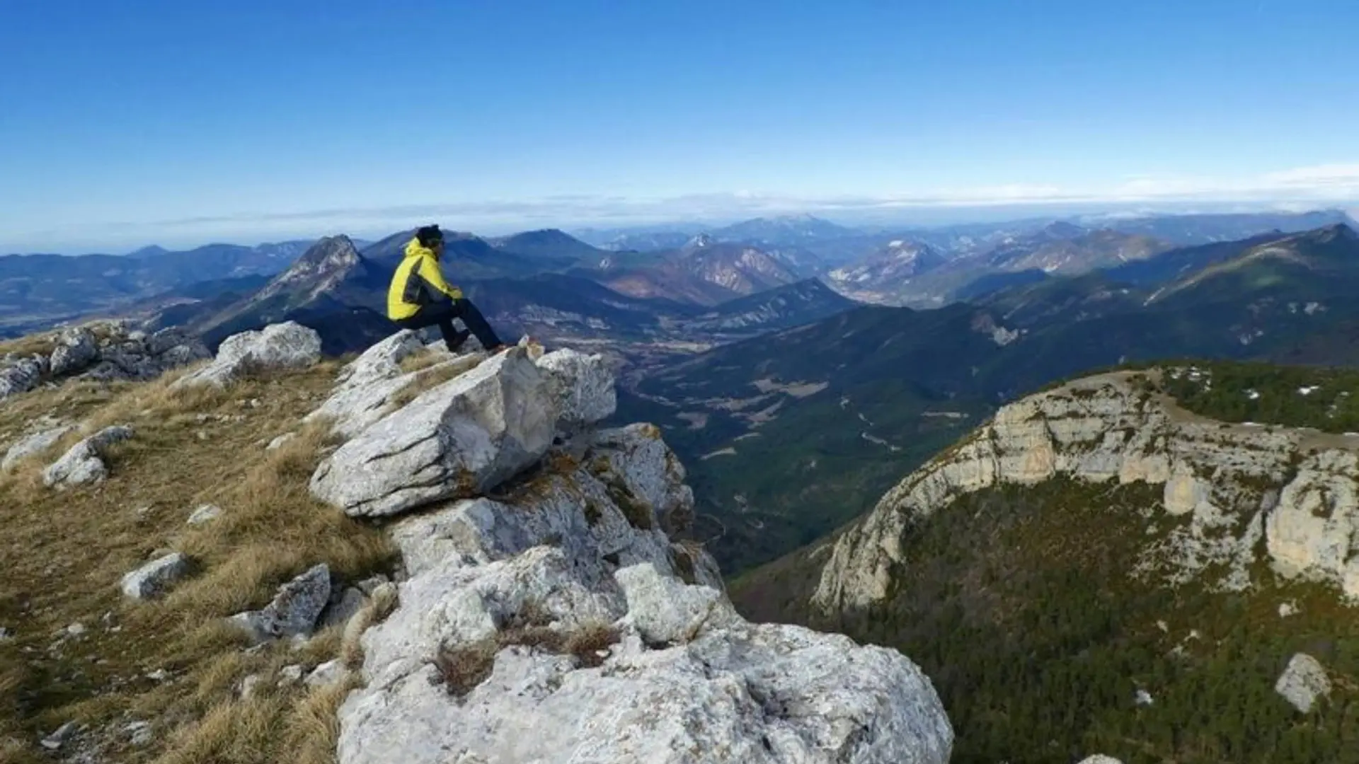
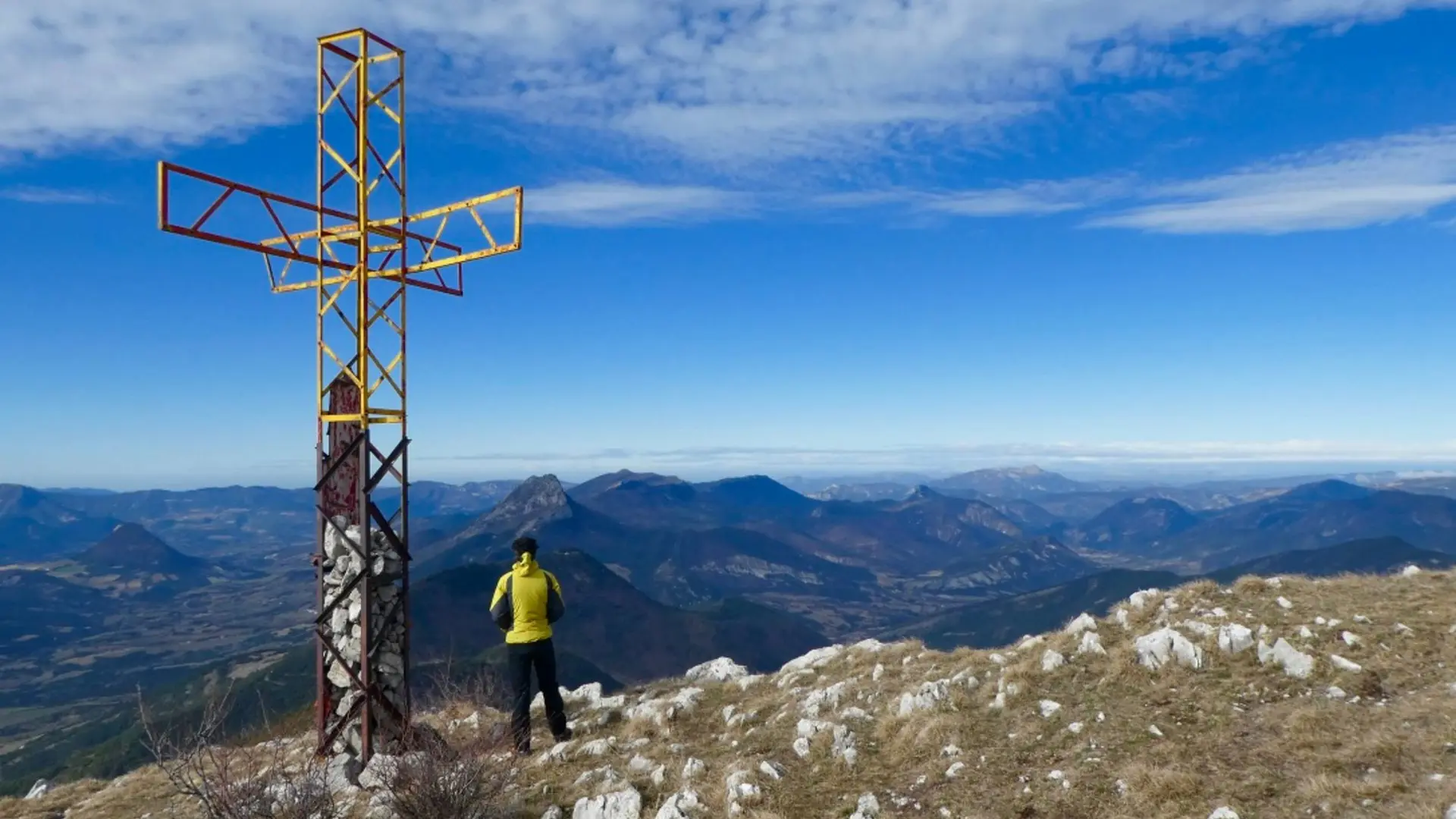
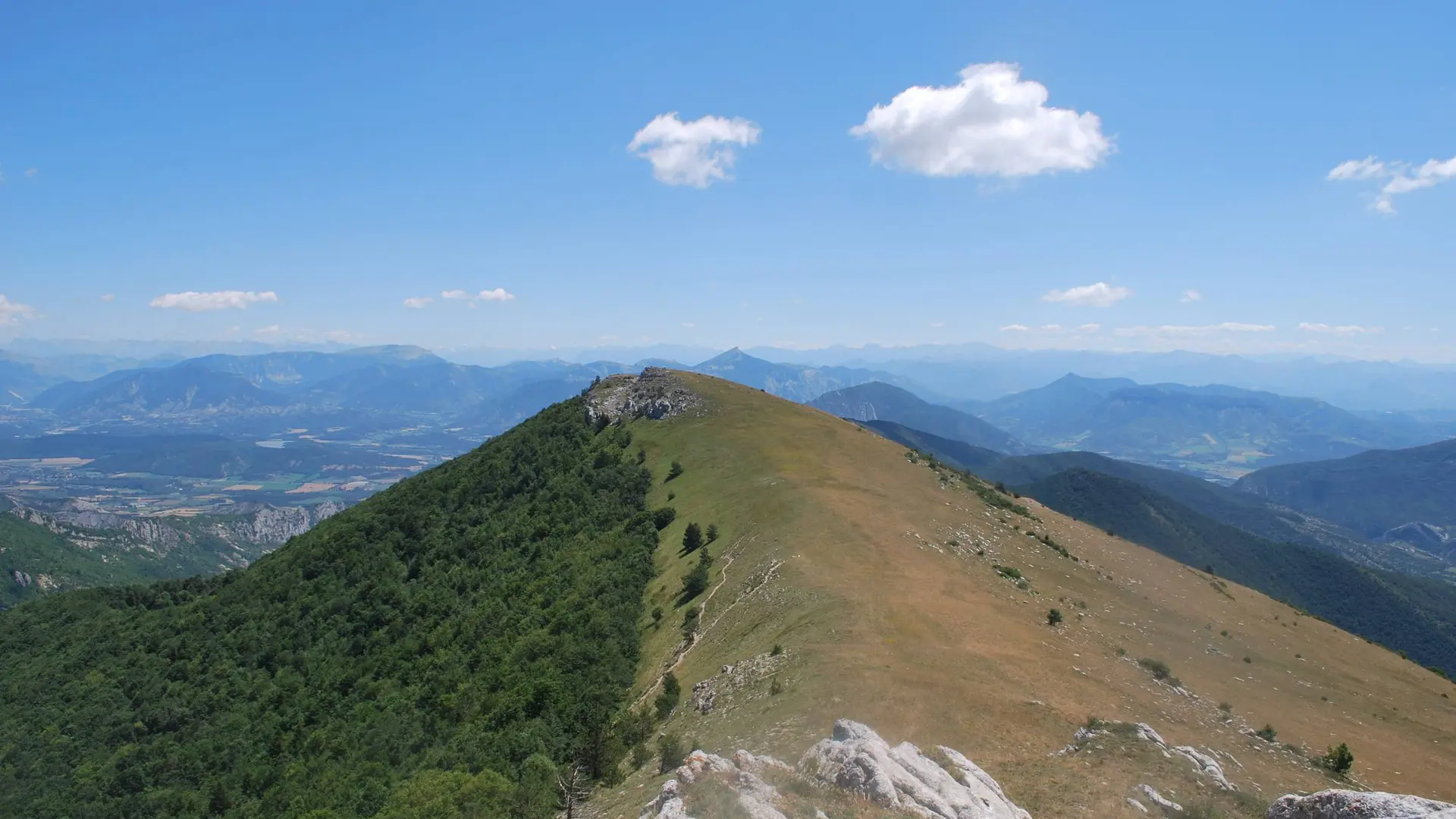
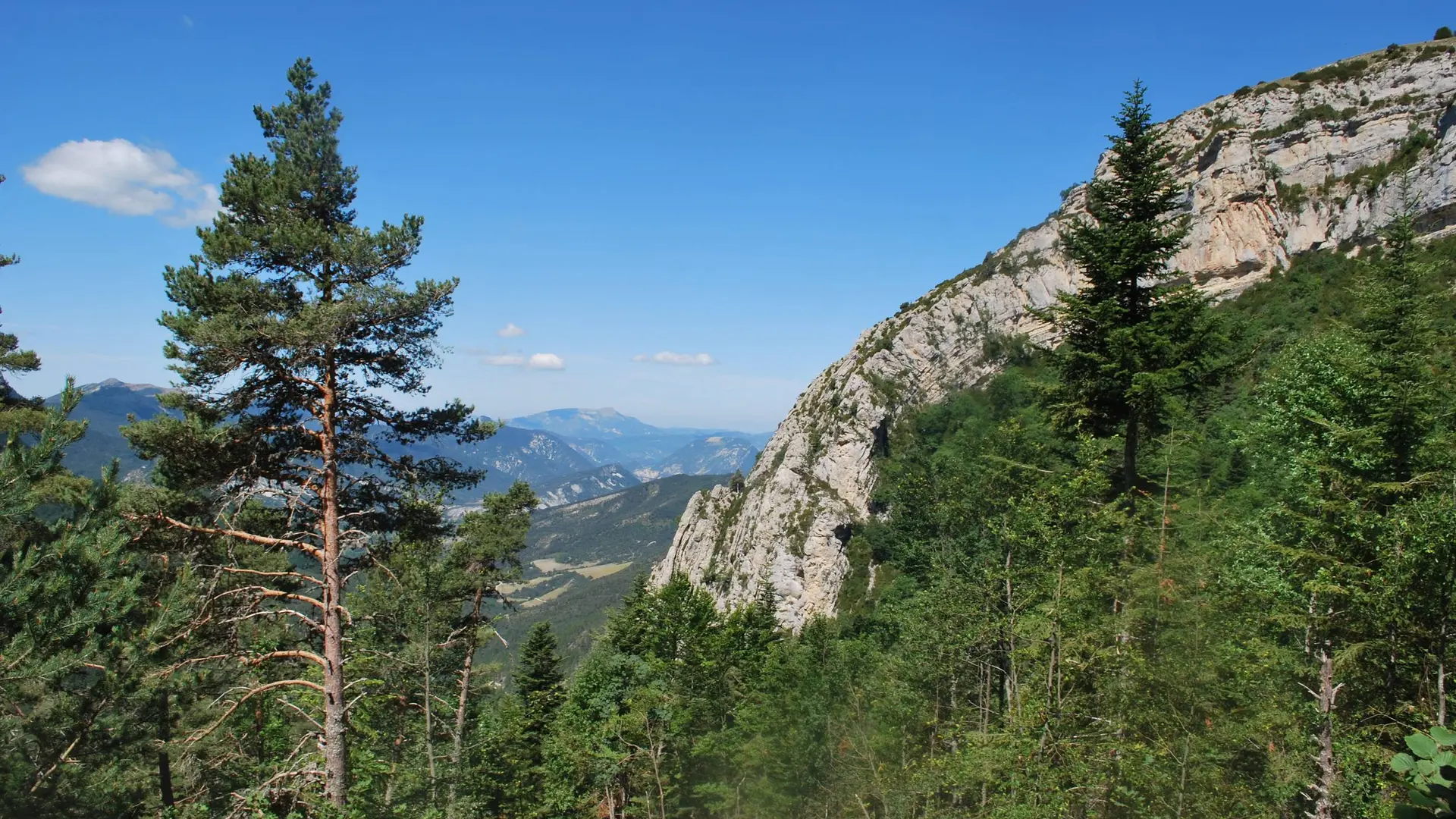
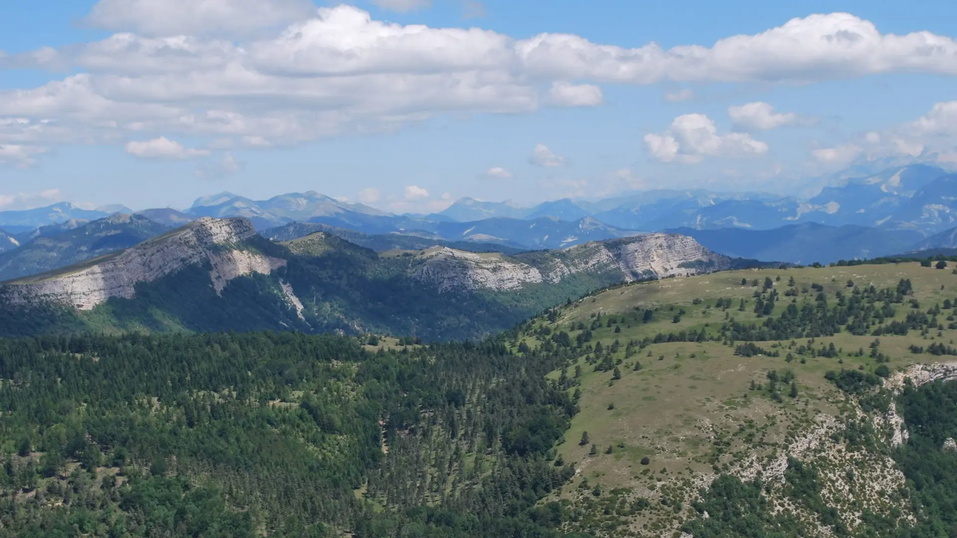
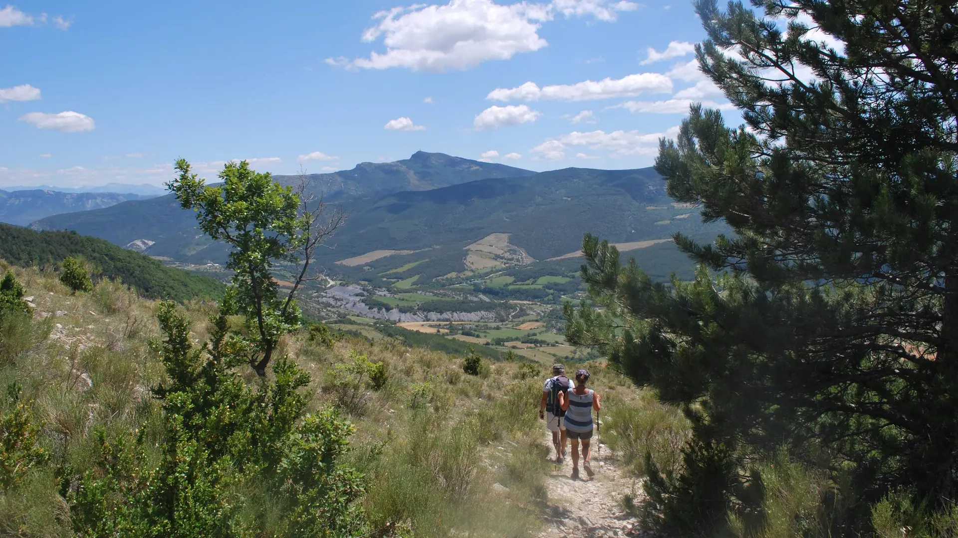
  • Very nice hike between cultivated land, forests and a wild summit. From this belvedere, discover the Blème valley and the highest peaks of the Buëch country.

  • From the parking lot, walk up to the village of l'Epine. At the war memorial, turn left and at the end of the village follow the tarred road towards Les Struis and La Villette.

    At the crossroads, turn left. 300 m further on, before a bridge, follow a path that goes right to the Struis.
    Cross the hamlet on your way up and continue on a track on the  opposite side. At the fork, take the right track which leads to a field. Walk along it to the left and then follow  a path that will lead you to...
    From the parking lot, walk up to the village of l'Epine. At the war memorial, turn left and at the end of the village follow the tarred road towards Les Struis and La Villette.

    At the crossroads, turn left. 300 m further on, before a bridge, follow a path that goes right to the Struis.
    Cross the hamlet on your way up and continue on a track on the  opposite side. At the fork, take the right track which leads to a field. Walk along it to the left and then follow  a path that will lead you to the pass, Col des Trousses (1266 m).
    At the pass, follow the 2nd track on the right up to the pass Col du Pré ("Col de Champlat", 1501 m).
    From there, a return trip takes you to the top of Bonnet Rouge (1645 m). To do this, leave the track and go straight on to a small pasture. 40 m further, turn right and cross a small wood. A walk on the mountainside goes around this summit to the left and leads you to Champlat. Continue along the ridge to the right and enjoy a beautiful 360 ° view. Return to Col du Pré following the same track back and take to the left  direction of l’Épine. The track narrows and becomes a path when arriving at  a small pass. After a long descent, walk along  a ruined sheepfold and continue straight until a track crosses.
    Turn right to reach the hamlet Mathieu, and take the road to the left for reaching L'Épine.

    Hard
  • Departure
    L' Épine
  • Difference in height
    1654.33 m
  • Departure : Parking lot in front of the hostel, l'Épine.
    Arrival : Parking lot in front of the hostel, l'Épine.
    Road access : From Serres (9 km), follow the D 994 towards Rosans until L'Épine..
    Parking recommended : Parking lot in front of the hostel (along the D 991), in l'Épine .
    Public transport : Think about public transport and carpooling: https://zou.maregionsud.fr .
  • Documentation
    GPX / KML files allow you to export the trail of your hike to your GPS (or other navigation tool)
1654 meters of difference in height
  • Maximum altitude : 1626 m
  • Minimum altitude : 817 m
  • Total positive elevation : 1654 m
  • Total negative elevation : -858 m
  • Max positive elevation : 459 m
  • Min positive elevation : -778 m