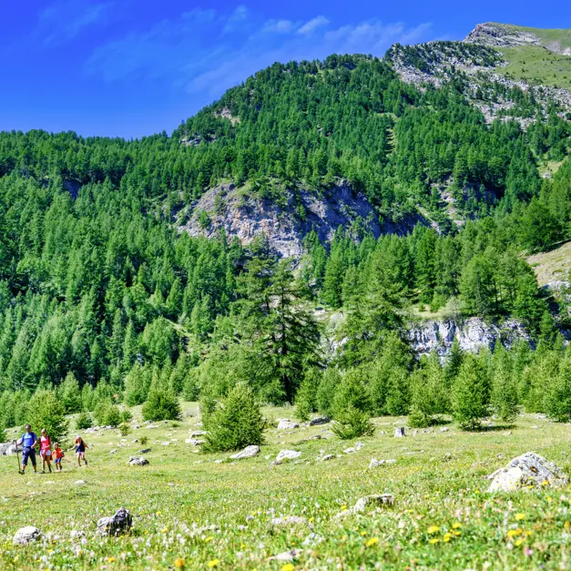
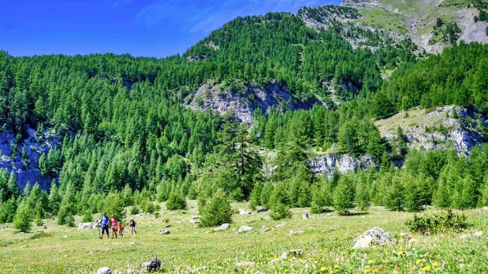
➡️ THE DEPARTURE:
Pra Paisset Parking: On the D40, as you arrive at the station, head towards Les Orres 1800. Drive 1.5 km until you reach the parking lot, just before the first hairpin turn.
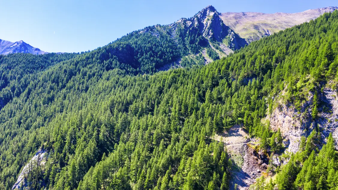
➡️ THE ROUTE:
Follow the forest track to the Pré la Pierre bridge, which crosses the Eyssalette stream. Continue along this track until you reach the "Cime de Pré La Pierre" sign: here, turn right. Continue until you reach the hut in the valley. At the hut, take the narrow trail that descends to the right.
Follow this trail until you reach the forest track, then turn right, continuing until the Roche Blanche bridge.
Take the trail to the right before the bridge, and climb along the Eyssalette stream until you reach the base of the challenging Via Ferrata.
Cross the footbridge and ascend to the Bergerie Gautier, then return to the parking lot.
Read more