- Voir les favoris
Boucle des Hautes Vallées
Sport, Cycling sports, Cycle tourism route
in Thorame-Haute
69.4
km
6h
Hard
-
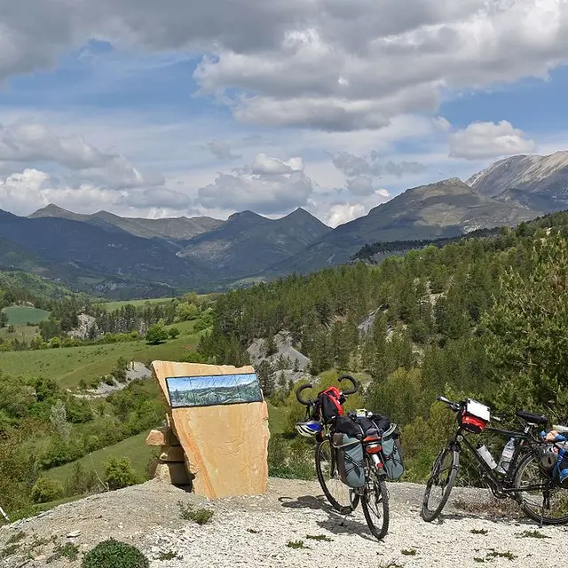
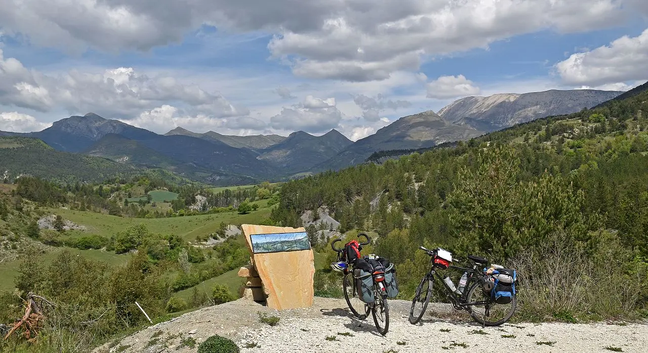
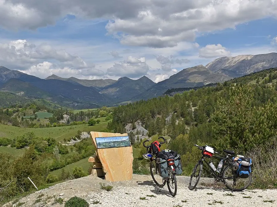
Cycling in the Verdon and Asse valleys, between the Cheval Blanc and Coupe mountain ranges.
-
A cycle-touring route that takes you between the massifs of the upper and middle Verdon, from Thorame-Haute to Tartonne, via Saint-André-les-Alpes and Moriez.
There are many hamlets to discover in the heart of these secret valleys, with landscapes marked by the seasons.
- Departure
- Thorame-Haute
-
-
Difference in height
- 1369.81 m
-
-
-
Environment
-
-
-
Documentation
- GPX / KML files allow you to export the trail of your hike to your GPS (or other navigation tool)
-
-
-
Accepted customers
-
- See all reviews
- 1370 meters of difference in height
-
- Maximum altitude : 1285 m
- Minimum altitude : 740 m
- Total positive elevation : 1370 m
- Total negative elevation : -1370 m
- Max positive elevation : 179 m
- Min positive elevation : -203 m
