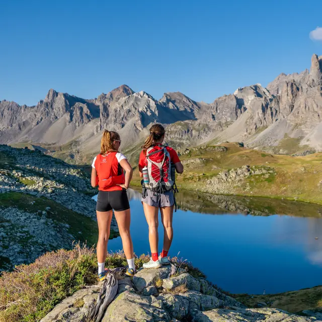
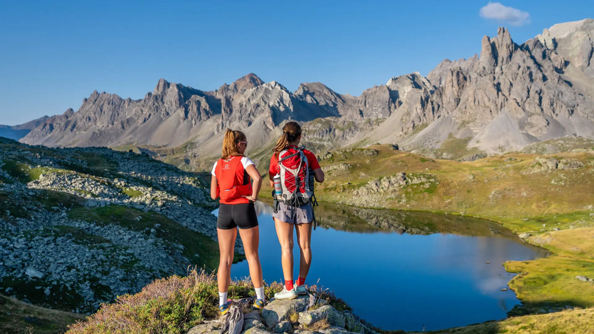
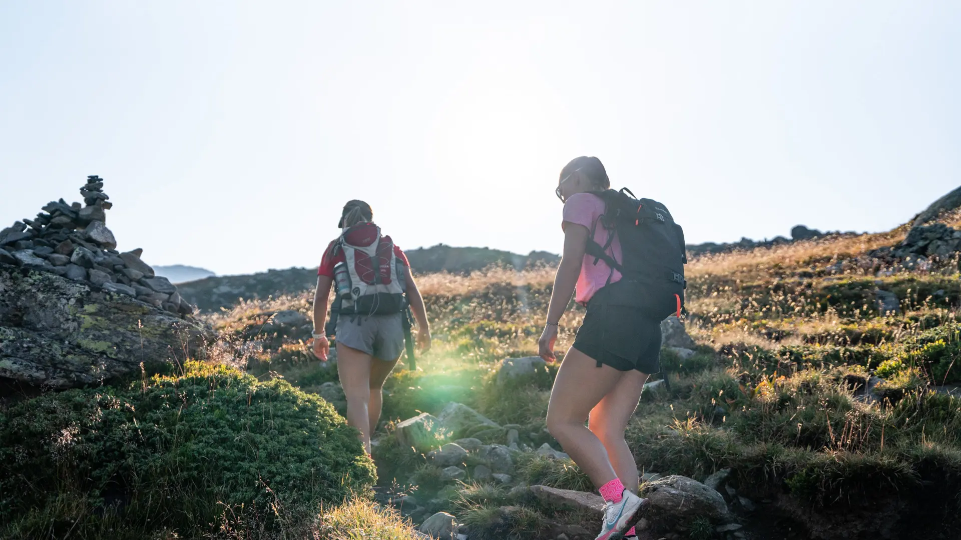
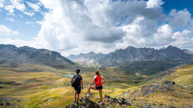
With its mountain streams, rhododendrons and alpine flora, this family-friendly loop is a must in the Haute Clarée region, with two lakes nestled at the end of the world, offering breathtaking views of the Cerces massif.
This day hike climbs without difficulty through alpine pastures to reach the lac long, then the lac rond, before descending on the GR57 along the torrent de Brune to the refuge des Drayères.
From the Laval parking lot, take the wide, stony track towards the bottom of the Clarée valley (GR de Pays Tour du Mont Thabor), which overlooks the Clarée river on its left bank: continue on this track for just over a kilometer to the Lac Long sign.
At this point, leave the track and take the little path on the right: this little mountain path gradually rises through the mountain pastures and quickly joins the Riou Sec stream as far as the Lac Long weir.
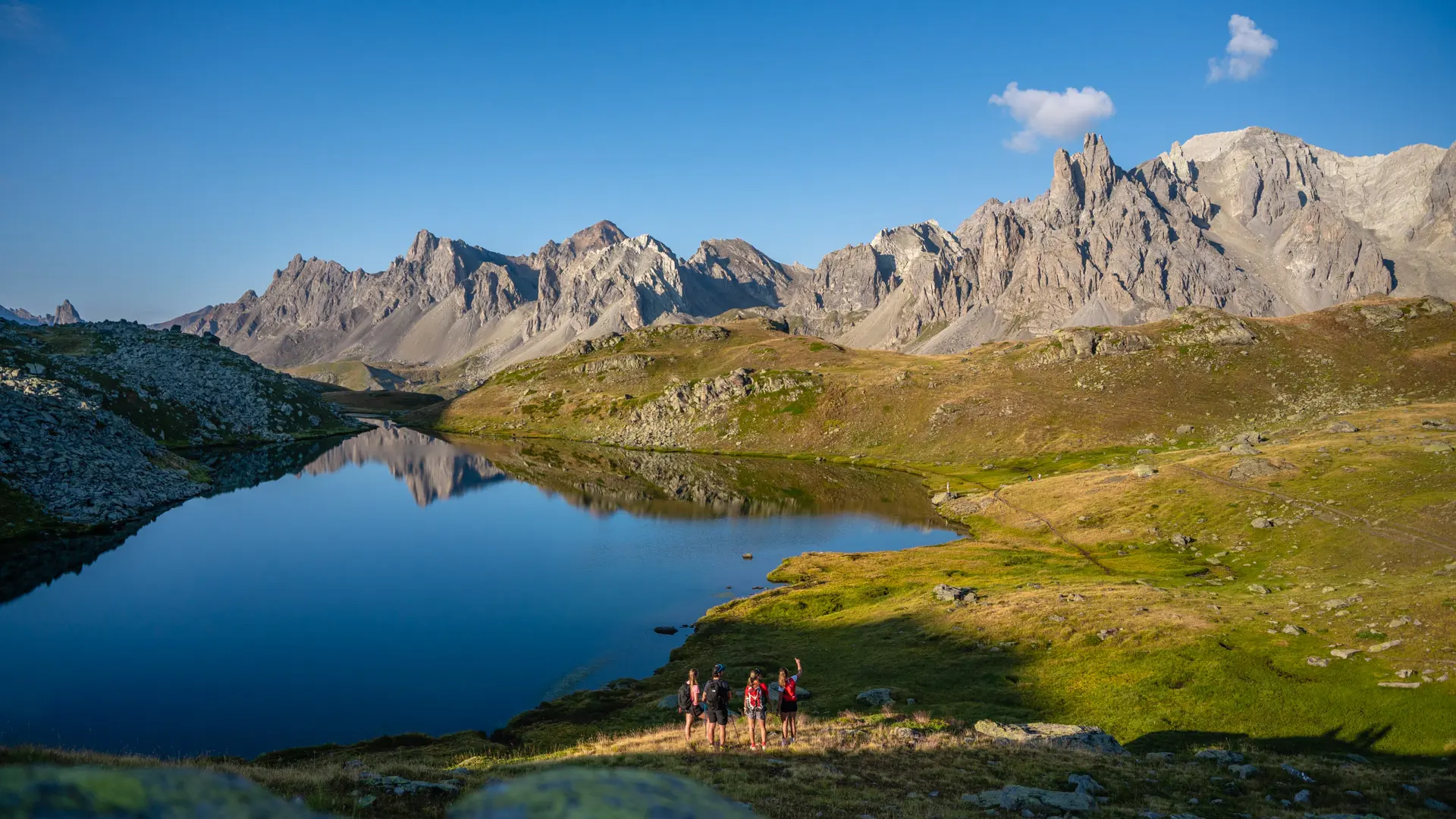
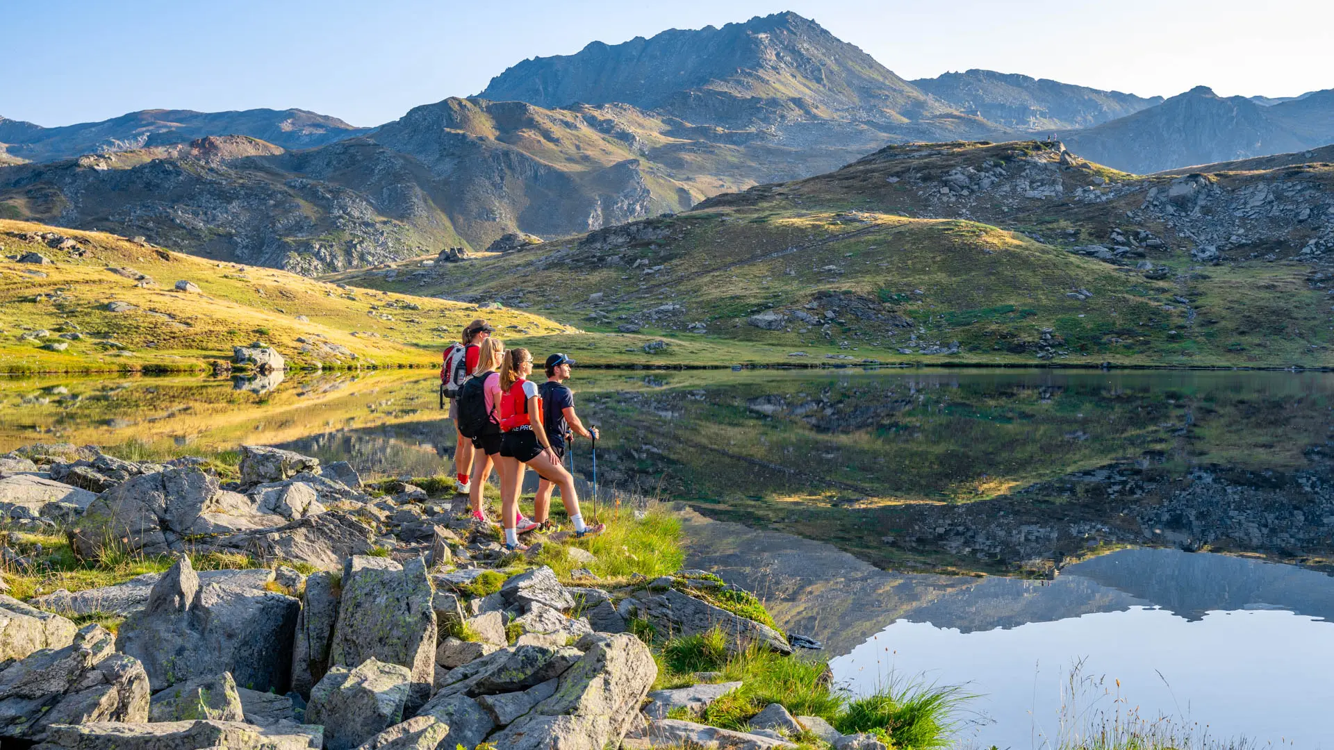
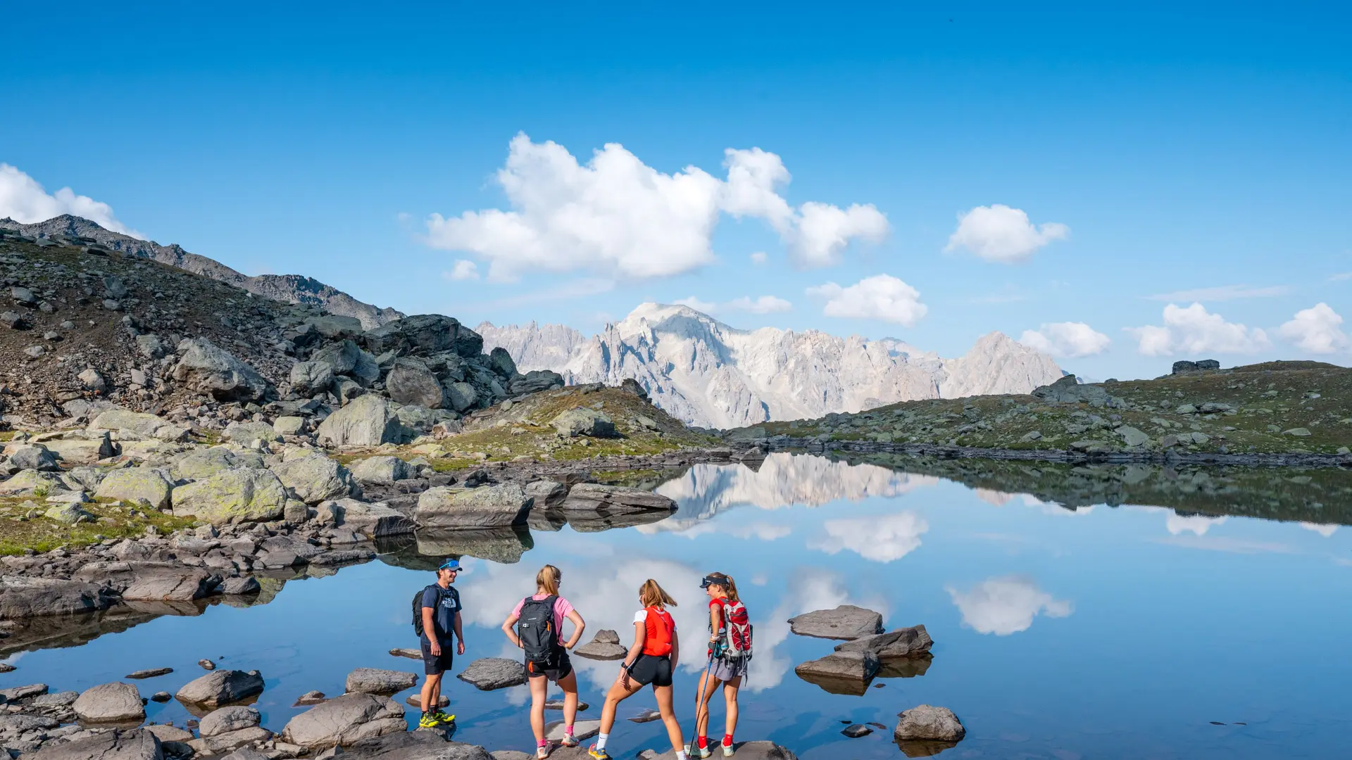
Continue along the main path skirting Lac Long on the left; the path then rises again to reach Lac Rond at 2446 m altitude: continue for around 20 minutes and cross a "rock field", taking care to stay on the left as much as possible. Keep as far to the left as possible, as the route becomes less visible in the rocks. Once on the heights, descend towards Lac Rond on the left as far as the spillway.
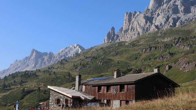
Once you've reached the spillway, take the left-hand path along the spillway (which is often empty in midsummer, forming a scree bed) until you reach the Brune torrent. The path then descends (GR57), crossing several wetlands, on the left bank of the Brune torrent (a path can be seen on the other side of the torrent, so don't take it into account) until you reach the valley floor and the Drayères refuge.
Pick up the wide, stony track and return via it to your starting point.
It is also possible to return via the right bank of the Clarée, in which case cross the footbridge 200 m below the trail.
This hike, which is very popular in summer, leads to a deterioration of the vegetation near the route. We ask you to stay on the main itinerary.