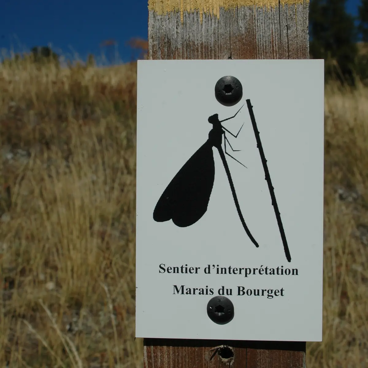
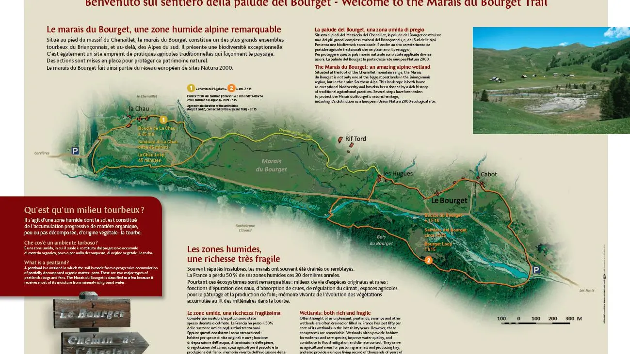
In two separate loops, this interpretive trail lets you discover one of the region's most beautiful high-altitude marshes, the largest peat area in the Briançonnais region, and the traditional farming practices that have shaped this exceptional landscape.
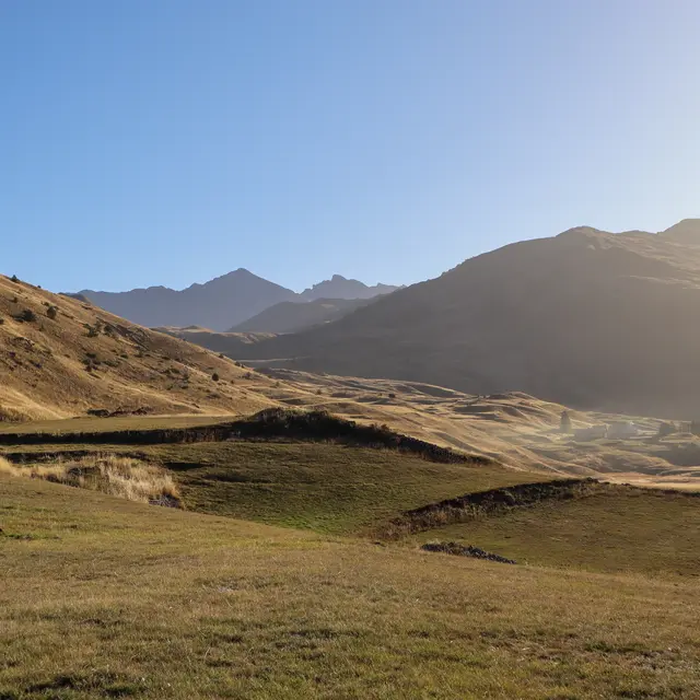
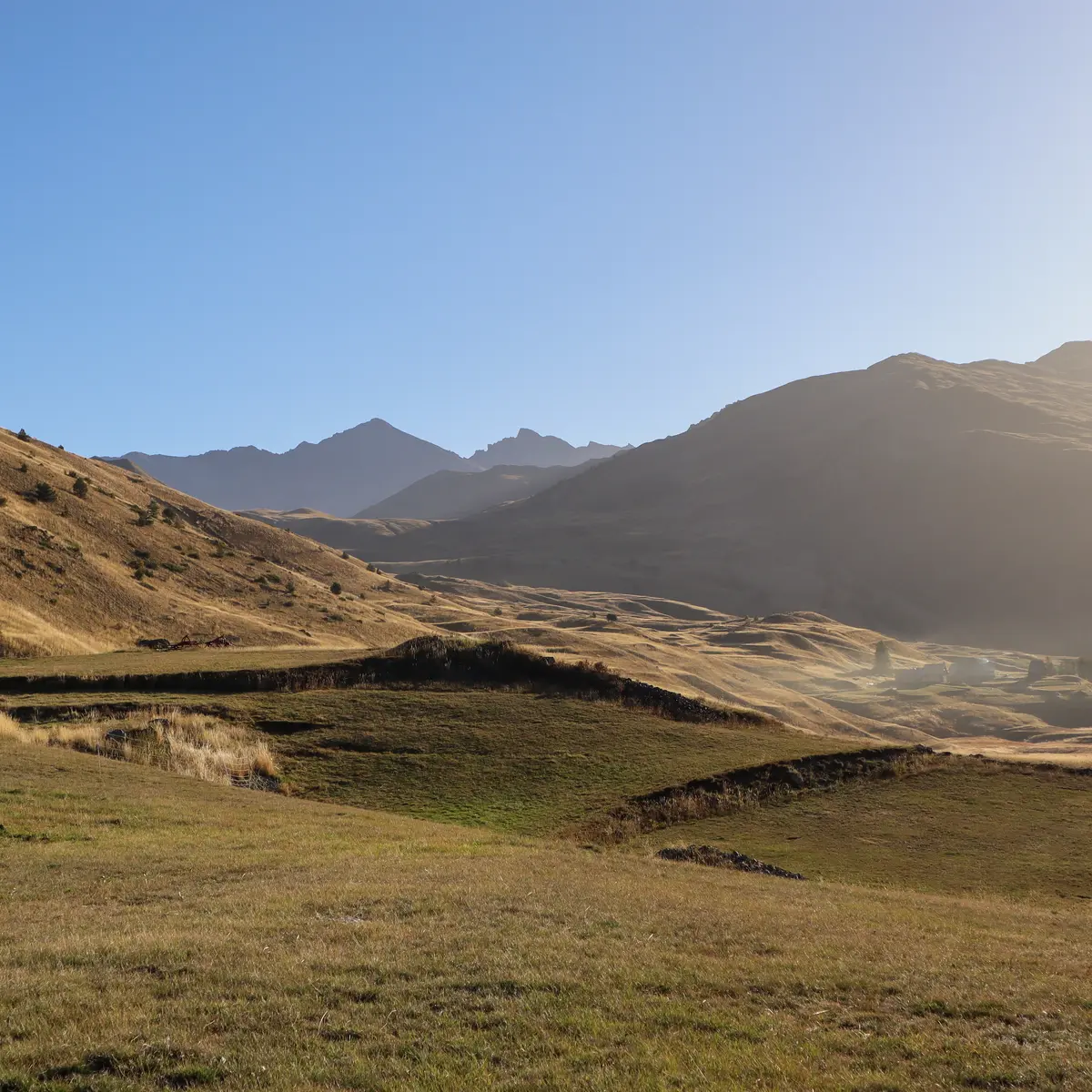
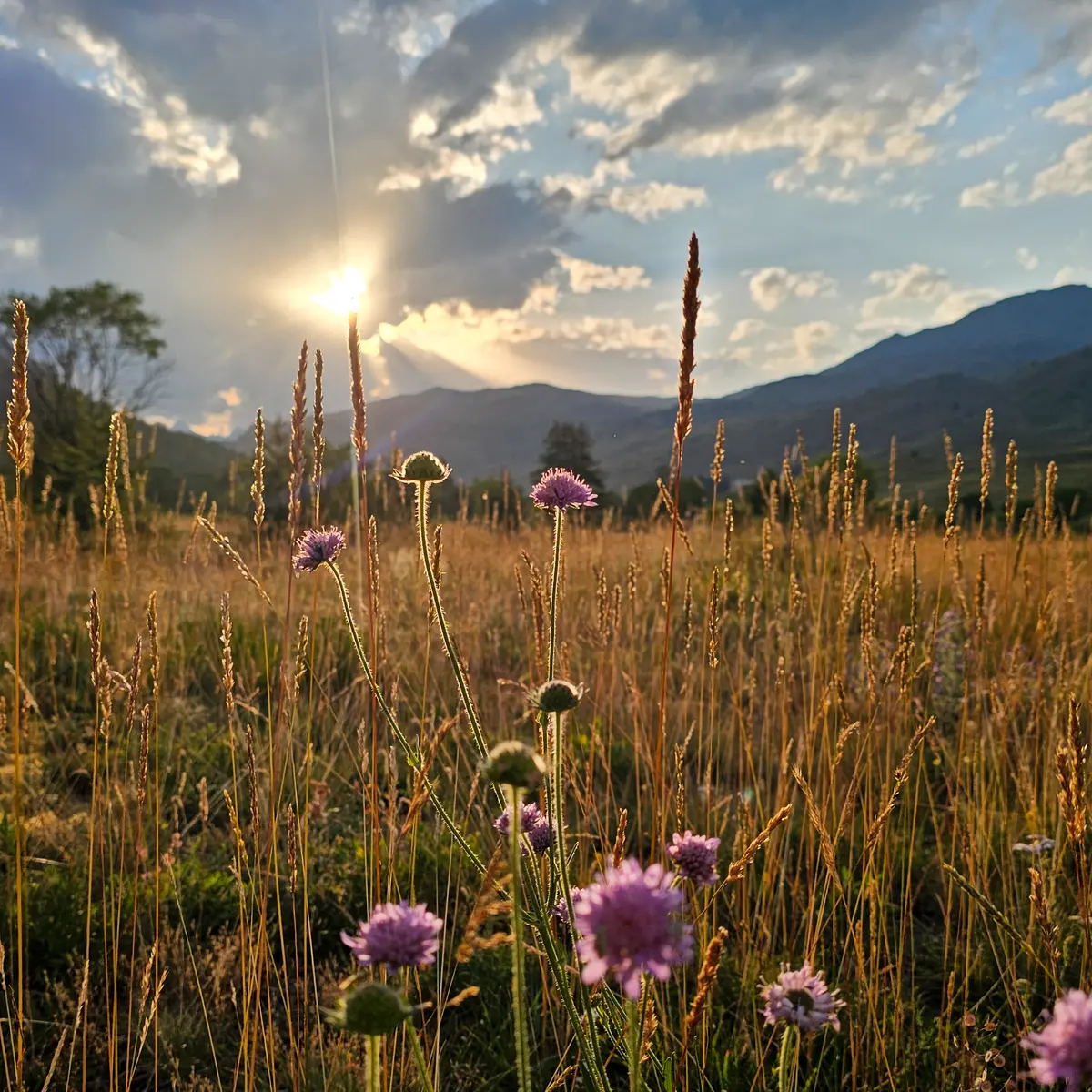
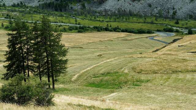
Located at the foot of the Chenaillet massif, the Bourget marsh is one of the largest peat bogs in the Briançonnais region, and beyond in the southern Alps. It boasts exceptional biodiversity.
This interpretive trail comprises two loops: La Boucle de La Chau (45 min) and La Boucle du Bourget (1h15), both linked by the Aigalans path overlooking the marsh.
From the La Chau chalet parking lot, take the wide track rising towards the chalets, passing the chalets and the chapel: the track then becomes a small grassy path (ignore the track on the left which leads to Lac Noir) which descends slightly to rejoin the Chemin de l'Aigalans.
Continue along the Chemin de l'Aigalans for just over a kilometer, passing under the Rif Tord chalets to reach the hamlet of Hugues.
At Hugues, continue straight ahead to reach the Chapelle de la Transfiguration a little further on. When you reach the chapel, take the left-hand track (ignore the one that joins the road) to reach the Chalets du Bourget, then a little further up, the Chalets de Cabot.
Once again, ignore the track that runs straight back down to the road, preferring the one that runs alongside the last chalets and descends gently into the alpine pasture below the Colombis wood, towards the road and the Cerveyrette torrent.
Cross the road to join a wide stony track, then cross a wide wooden footbridge to begin the return to the left bank of the torrent de la Cerveyrette.
The path winds along the edge of the marsh, under the wood, along the Cerveyrette for 1.3 km to reach a wide wooden footbridge: cross the footbridge and join the road again to go back up to the hamlet of Hugues, then pick up the Chemin de l'Aigalans taken on the outward journey.
Follow the Chemin de L'aigalan to the fork in the road: this time, ignore the track leading to the Chalets de la Chau, cross the asphalt road and take the small path through the marsh and bushland: a number of small wooden footbridges cross the marsh adoux, under the Lasseron river and finally reach your starting point by climbing the slope below the road.
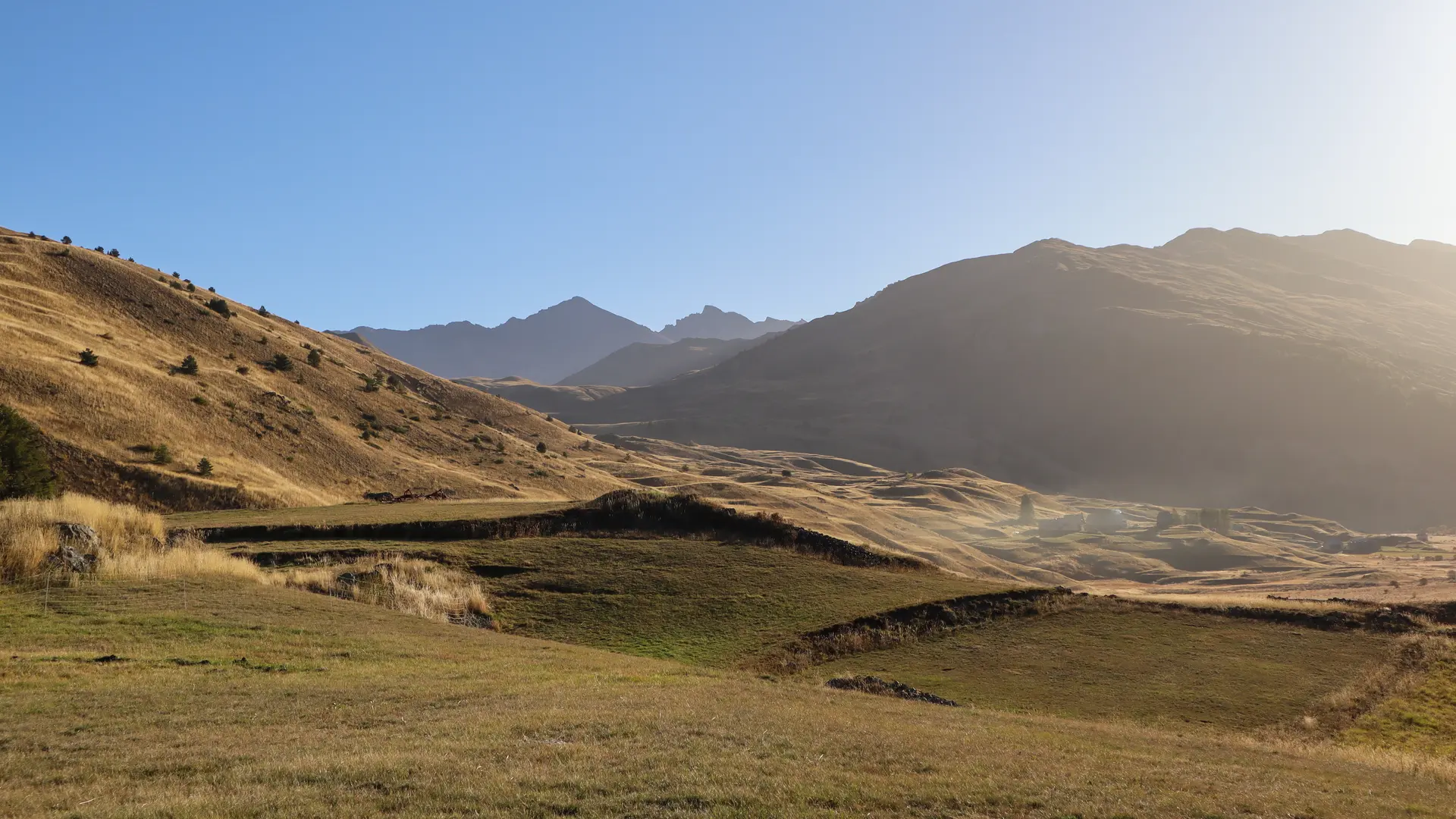
This route crosses the Rochebrune - Izoard - Vallée de la Cerveyrette Natura 2000 site.