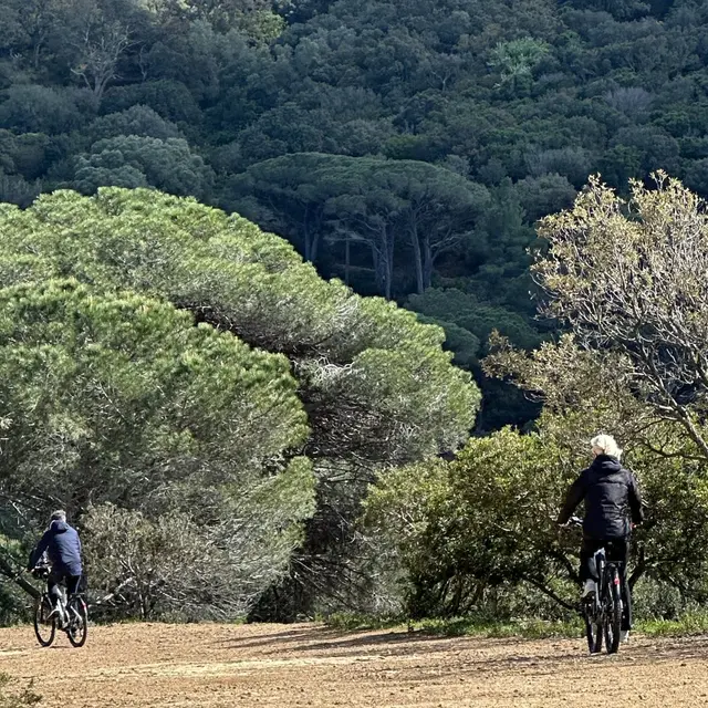
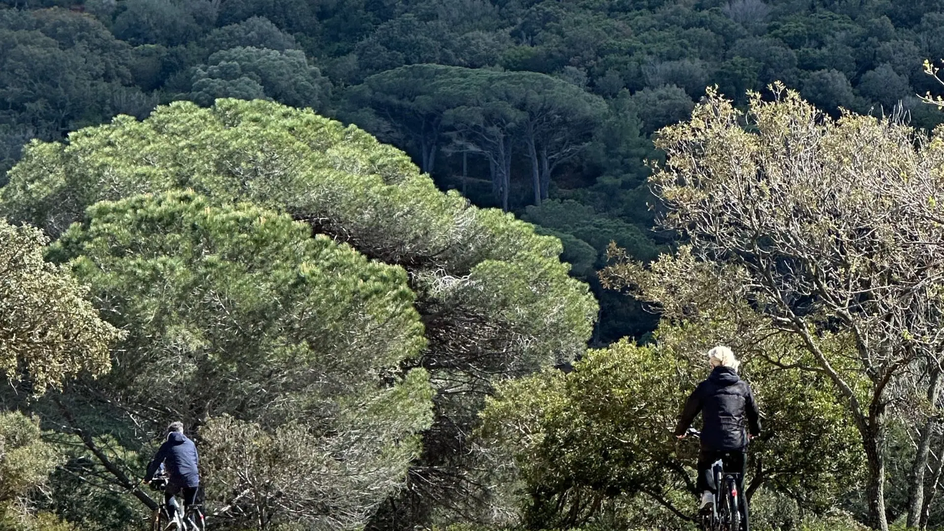
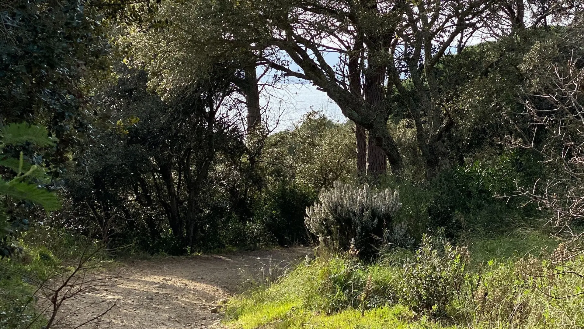
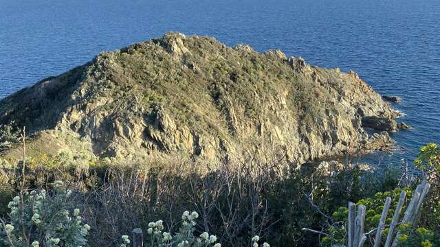
Follow the yellow signs from the entrance to the Domaine du Cap Lardier, a listed site belonging to the Conservatoire du Littoral.
Follow the yellow signs. From Gigaro beach, at the entrance to the Domaine du Cap Lardier “Site classé du Conservatoire du Littoral”.
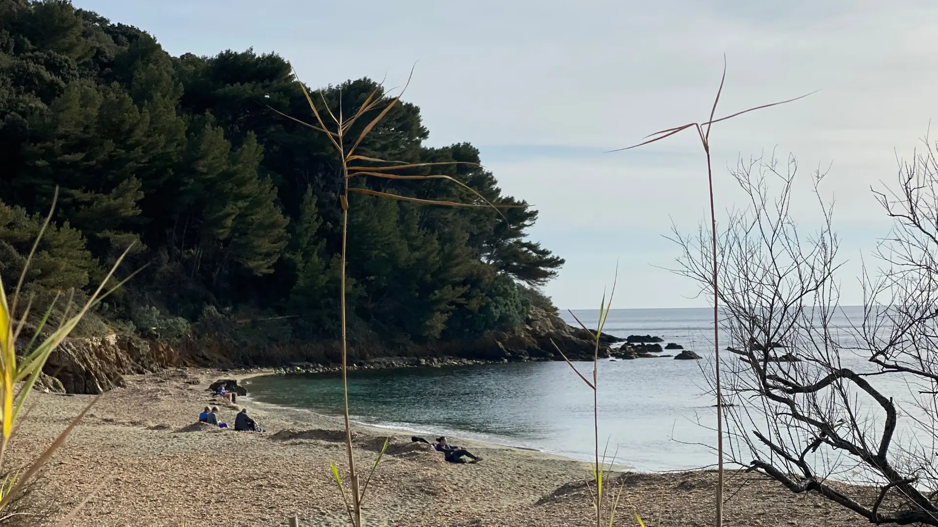
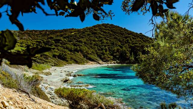
Dogs are welcome on the Cap Lardier estate, as long as they are kept on a leash. They have the right of access to the beaches, if only to cross (example: plage des Brouis).
Bring water.
Read more
Plain text period
All year round.
Check the status of the mountain ranges on the internet or on the Tourist Office website before setting off on your hike.
Pets welcome Dogs are accepted in the area of Cap Lardier, as long as they are kept on a leash. They have the right to access the beaches, if only to cross.