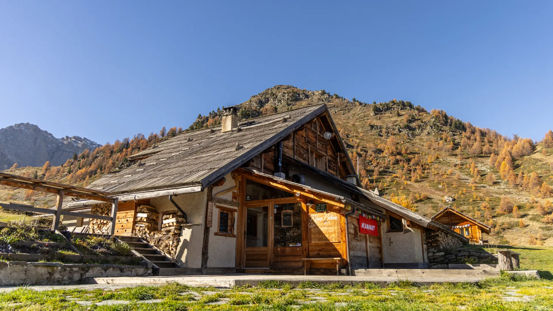
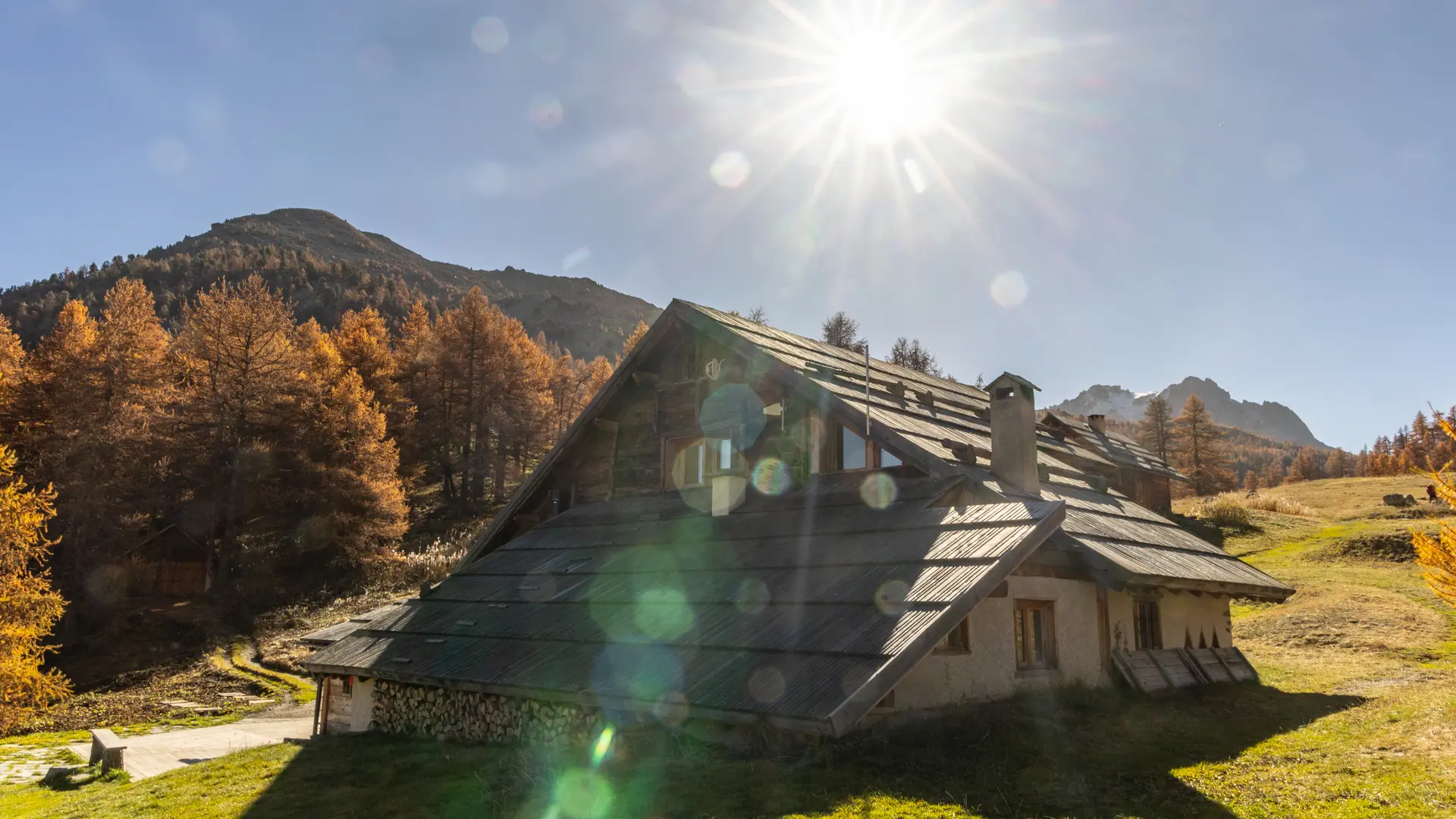
This itinerary takes you to the Buffère refuge via the usual route on the right bank of the Clarée, before returning to Névache via the Côte Rouge balcony with its magnificent rhododendrons.
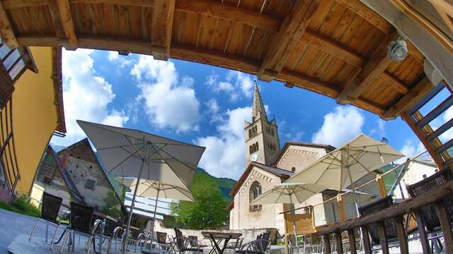
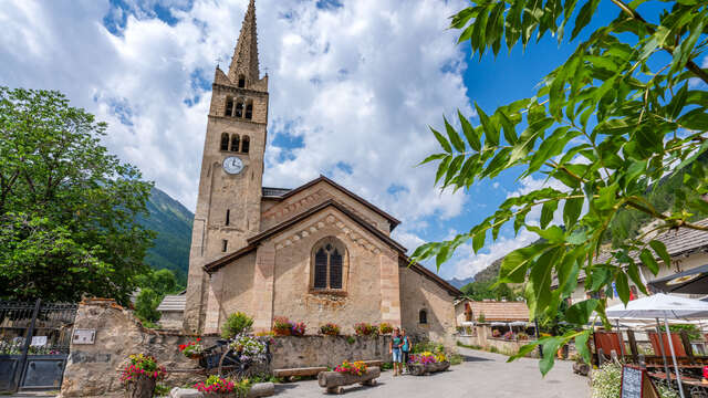
Start from the Névache Ville-Haute parking lot. Enter the village to reach the Église Saint-Marcellin. Take the lane on the left after the church and cross the Outre bridge.
Take the path on the right, bordered by a low wall: this is a section of the GR 57A. Walk around the small Notre-Dame-de-Lourde chapel to reach the edge of the forest. The route follows the river from beginning to end on the right bank.
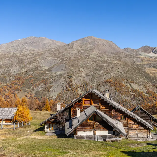
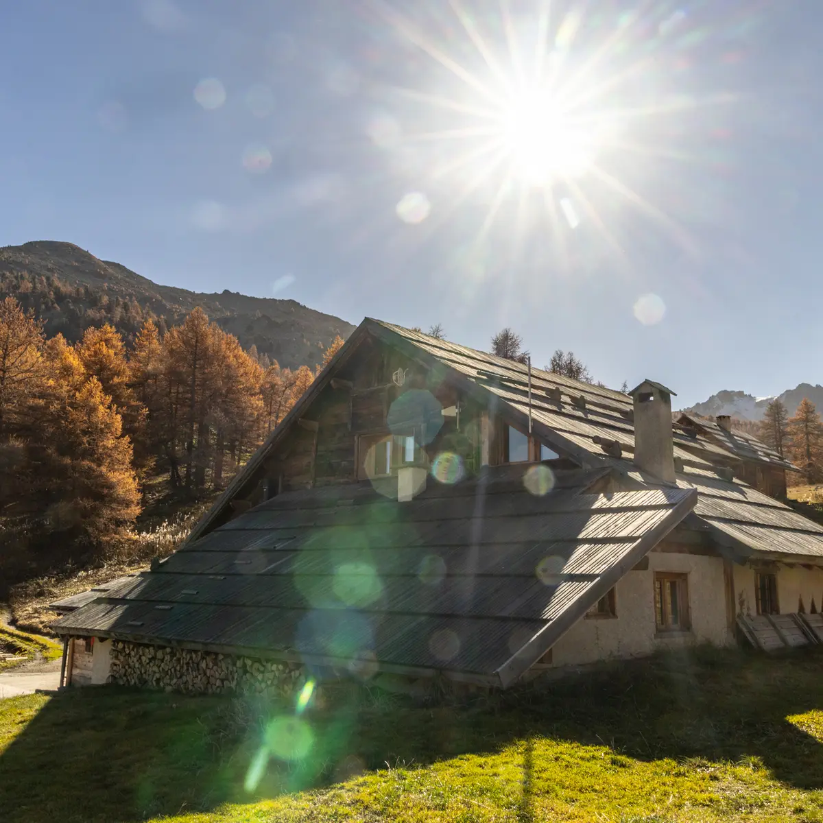
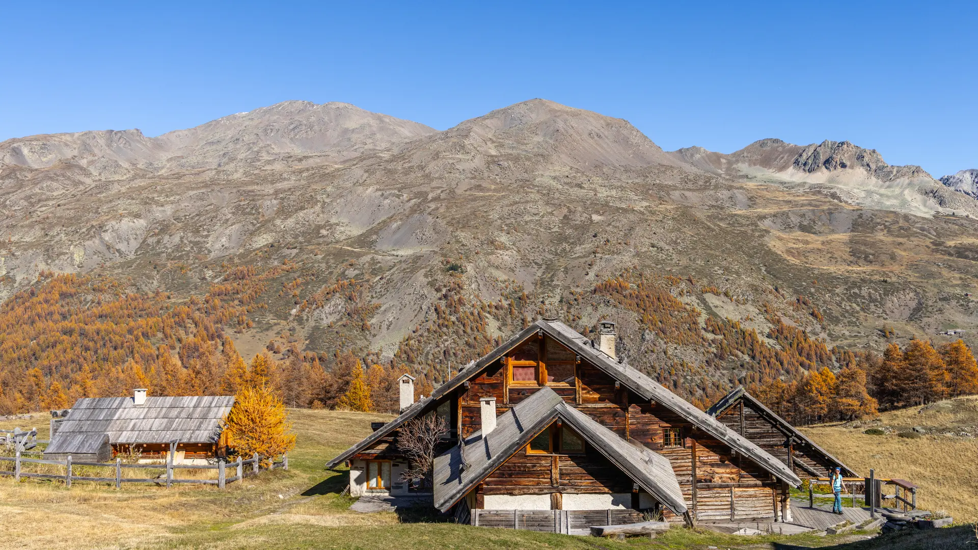
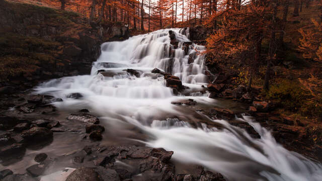
After a slight climb over the bridge at the Débaret waterfall, the path levels out to reach the Pont du Rately and the route up to the refuge.
The next climb is a steady one through larch forest to the Chalets du Serre. Don't be put off by the view from the top of this climb, which offers a fine view over the valley and the village of Névache.
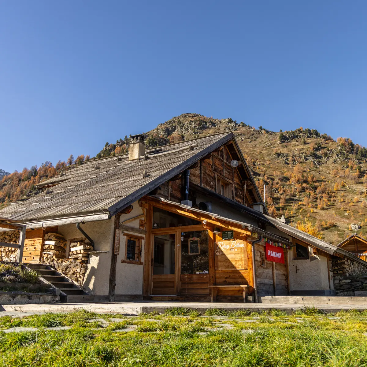
After a stop at the refuge, take the Côte Rouge trail: the track faces the entrance to the refuge, passes a refuge hut and becomes a small path: it quickly crosses the Buffère stream, then continues on a magnificent balcony for around 2 kilometers to reach the stream and the Cristol footbridge.
If you wish to reach Ville-Haute: skip the footbridge and take the left-hand path, which descends towards Névache hameau de Ville-Haute, leaving the stream on the right.
If you cross the footbridge, you reach the GR5C. This alternative allows you to reach Névache hameau du Cros at the Pont de Fort Ville, or the Roubion hamlet via the Pont des Armands. This descent is easier on the knees.
When crossing a Natura 2000 site, please stay on the marked route to preserve the vegetation. Please respect the tranquillity of the area and keep your garbage to yourself.
Pets welcome In the Clarée, dogs must be kept on a leash on all trails, for reasons of wildlife protection, but also to ensure cohabitation with herd protection dogs.