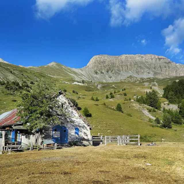
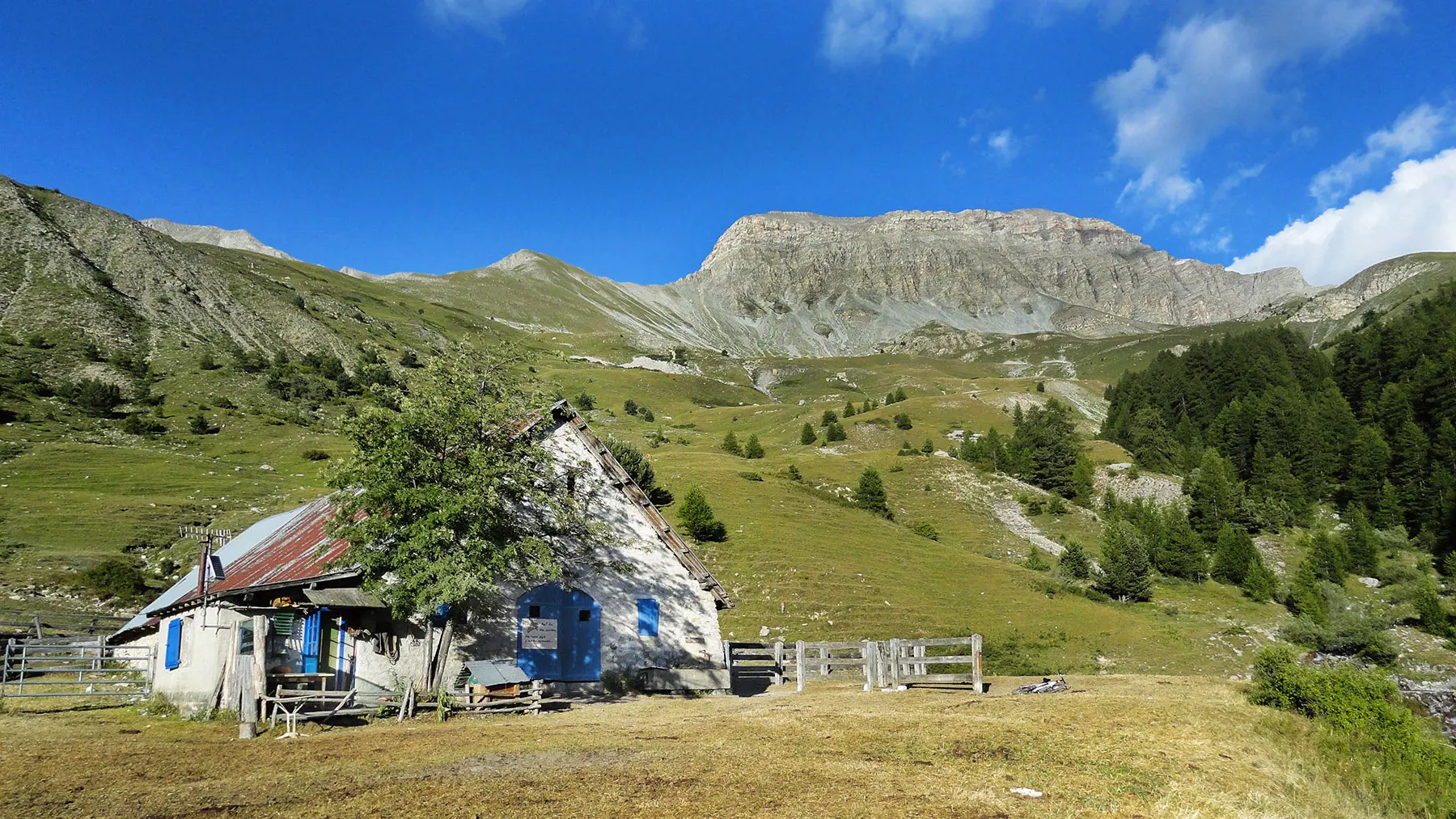
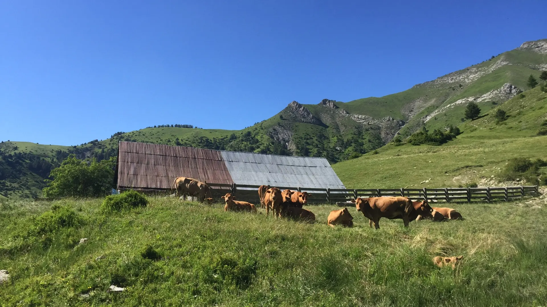
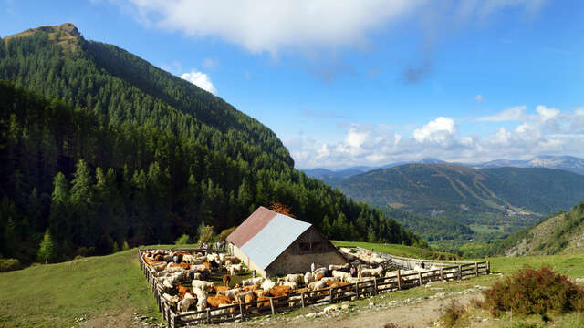
At the foot of the imposing Roche Close, this route allows you to discover one of the main alpine pastures of Seyne Country: La Grand Montagne, along with its iconic cabin. It is a grazing area for cattle and horses.
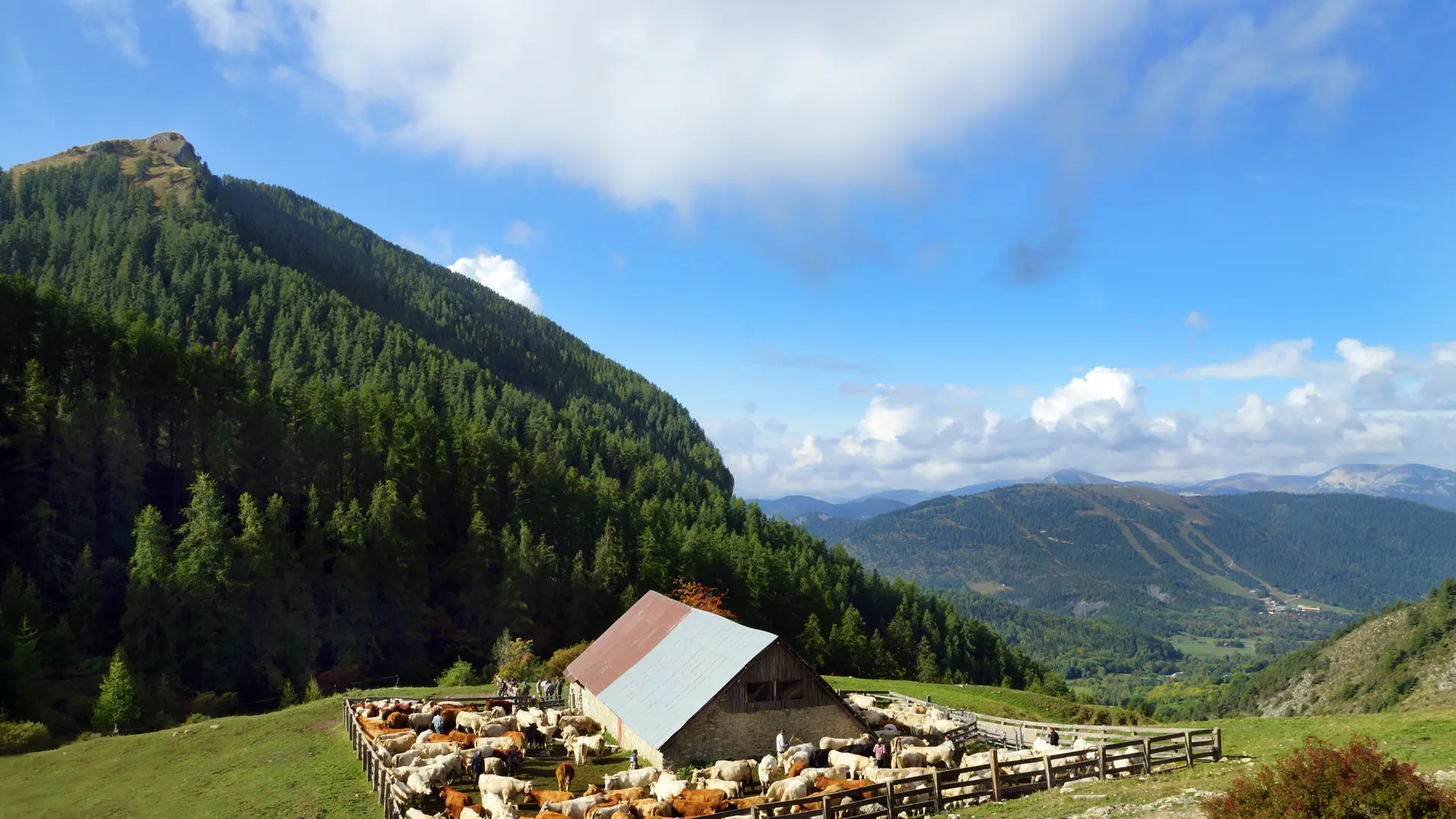
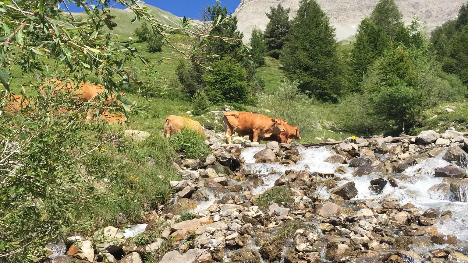
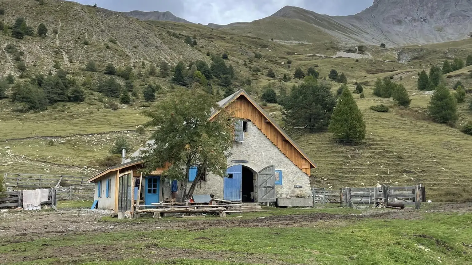
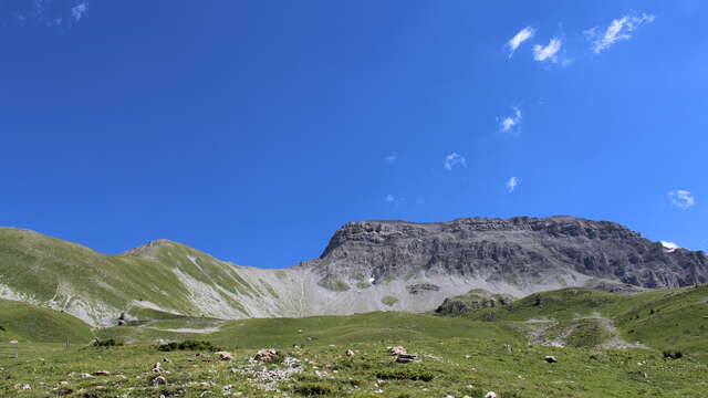
"Starting from the car park along the La Blanche ravine, after the wooden bridge at the exit of the Maure hamlet, the itinerary goes up either along the La Blanche torrent or via a forest track through a larch forest, leading to the Cabane des Mulets. The return can be made via the track.
A possible variation is to continue on a trail to the alpine pastures of Grande Montagne and descend through the south slope of Tourtourel, creating a loop of 6km that lasts 3 hours and 30 minutes, with an elevation gain of 500m.