There are 2 routes for this itinerary, which will take you on a 2-hour or 3-hour loop through the mountains.
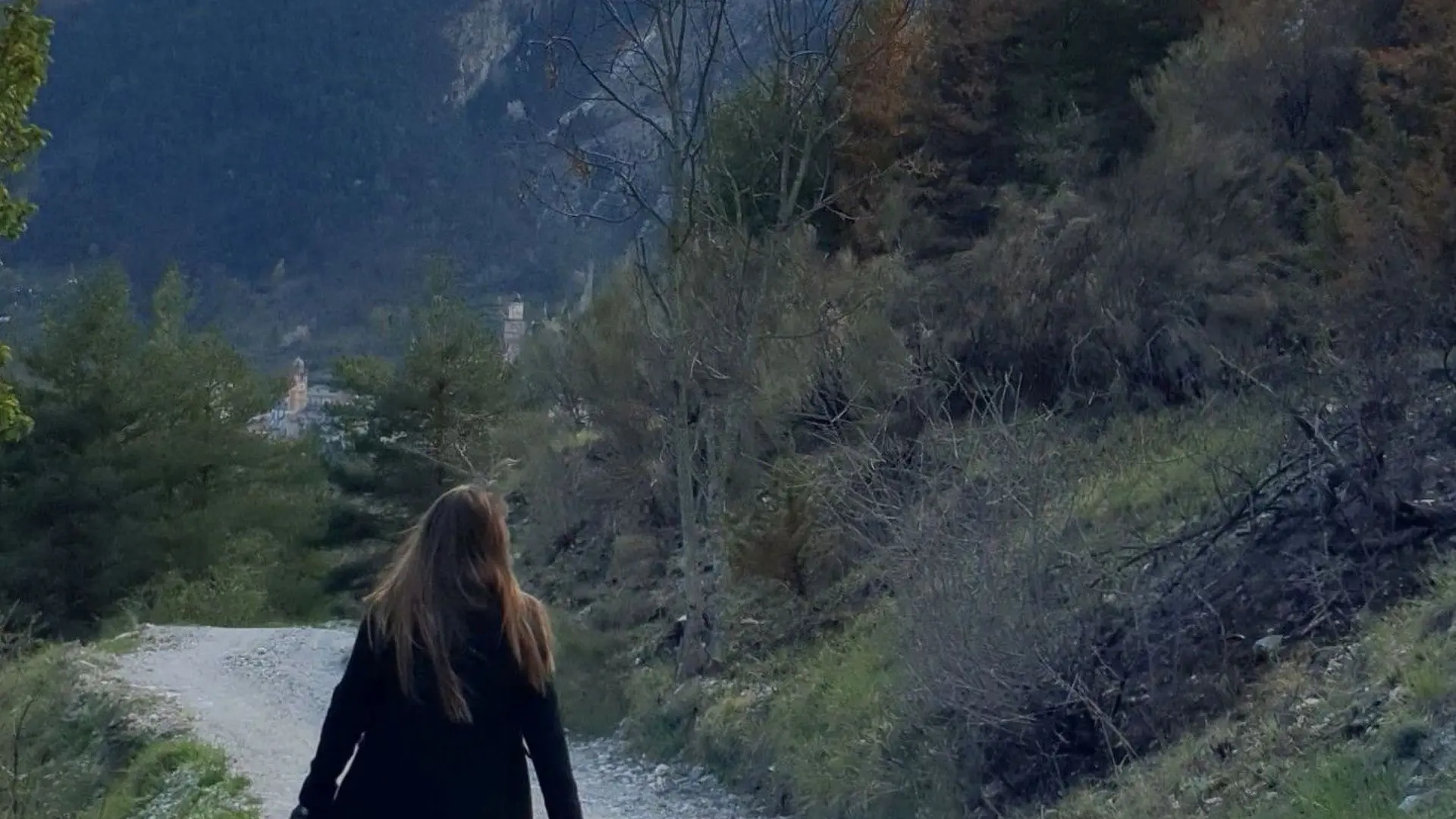
- Take rue Antoine Vassallo, behind the town hall (direction Vallée de la Pia and Camping Saint-Jacques); just after the bridge over the Roya, turn left immediately, direction "Col de Tende - Arimonde" on the GR 52A (marker 56).
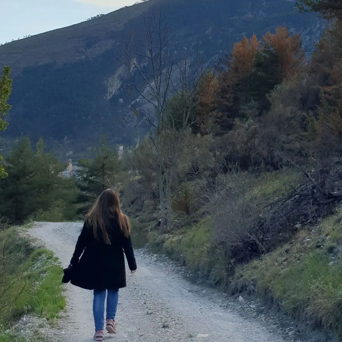
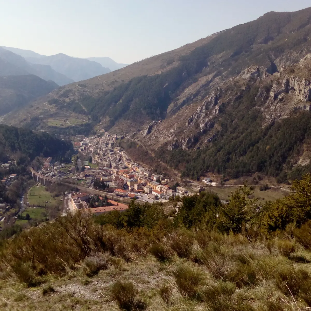
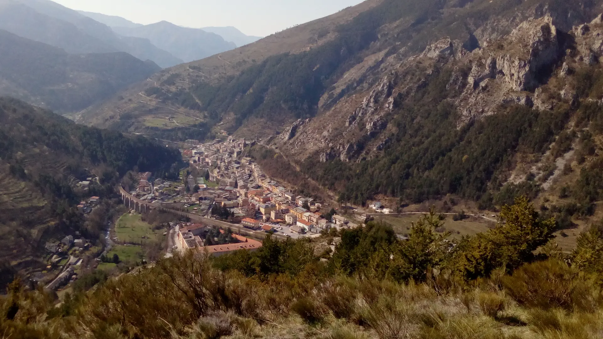
- The path, quite steep at first, near 2 villas, rises steadily on the ridge line (b57). After a 45-minute climb, you'll leave the junction for "l'Arimonde" and Vievola on your left, and turn right onto a wide track, where you'll see the paraglider launch pad with windsock on your right. Below, a breathtaking view of the village!
- The descent begins at a leisurely pace, staying on this track. After about 20 minutes' walk, you come to a crossroads (1st bend), take the track down to the right. Continue until you reach the 2nd bend.
You will then have 2 options:
- For the 2-hour route: turn right onto the (narrower) track marked in yellow (b 59), which will take you almost back to your starting point, at the crossroads with the campsite entrance (b58), on the Pia valley road.
- NB: It's possible to cut through the twists and turns of this road on a yellow-marked path.
- For the 3-hour route: continue on the wide track. After approx. 40 mins, you come to the junction with the Pia valley road. Turn right onto the tarmac road and return to the village via the road alongside the river.
Read more