Canal de la Pisse

Canal de la Pisse

Sport, Pedestrian sports, Hiking itinerary in Ubaye-Serre-Ponçon
6.6 km
2h
Medium
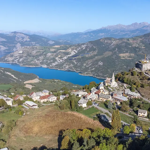
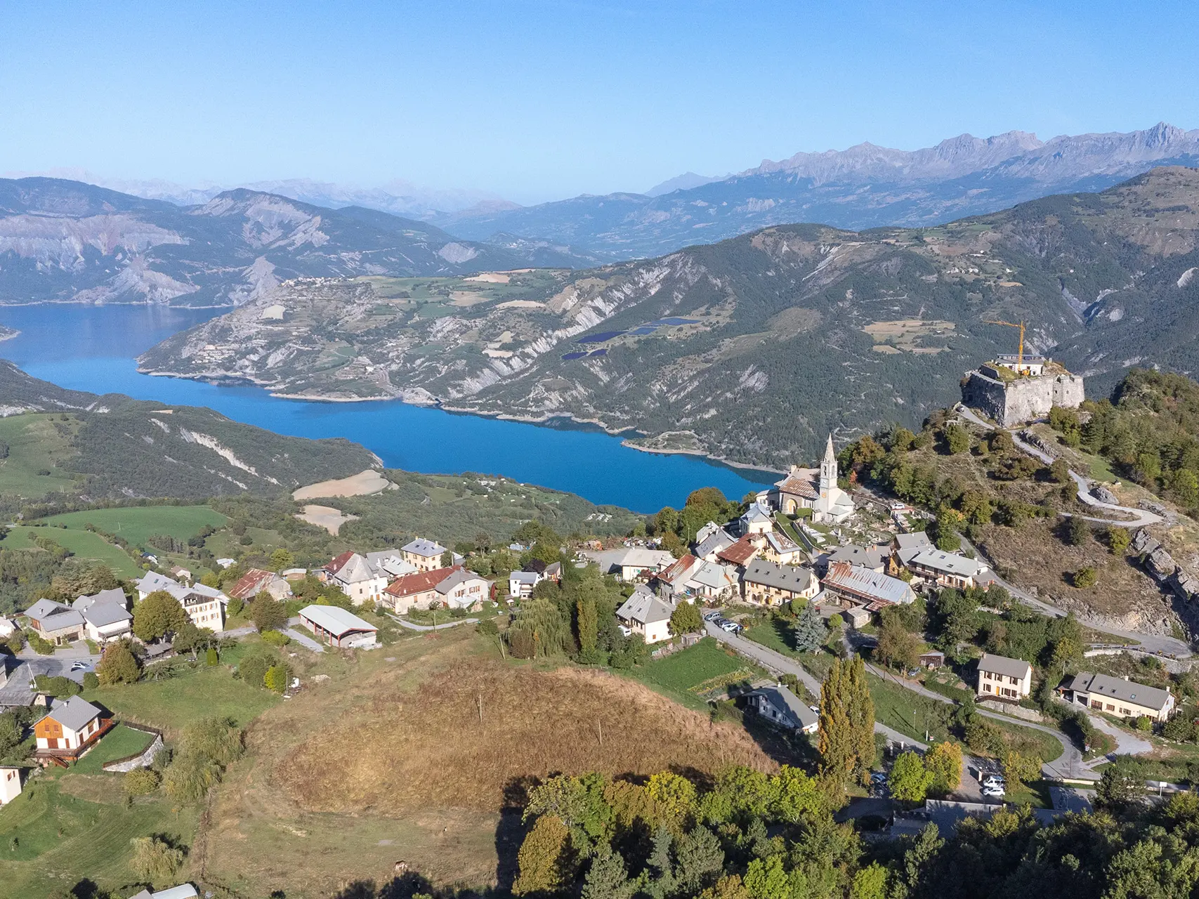
  • Hike through one of the most beautiful forests in the Ubaye Valley, where you can enjoy a bit of cool shade even in summer.

  • Starting from the village of Saint-Vincent-les-Forts, this hike is suitable for the whole family and takes you through the ‘dark’ side of the forest with its population of fir and spruce trees.

    You will also discover the Canal de la Pisse, an ancient irrigation system that is still in use today.
  • Departure
    Ubaye-Serre-Ponçon
  • Difference in height
    250.084 m
  • Documentation
    GPX / KML files allow you to export the trail of your hike to your GPS (or other navigation tool)
  • Accepted customers
    • Level bue - Medium
250 meters of difference in height
  • Maximum altitude : 1463 m
  • Minimum altitude : 1270 m
  • Total positive elevation : 250 m
  • Total negative elevation : -250 m
  • Max positive elevation : 174 m
  • Min positive elevation : -106 m
Services
  • Services
    • Pets welcome