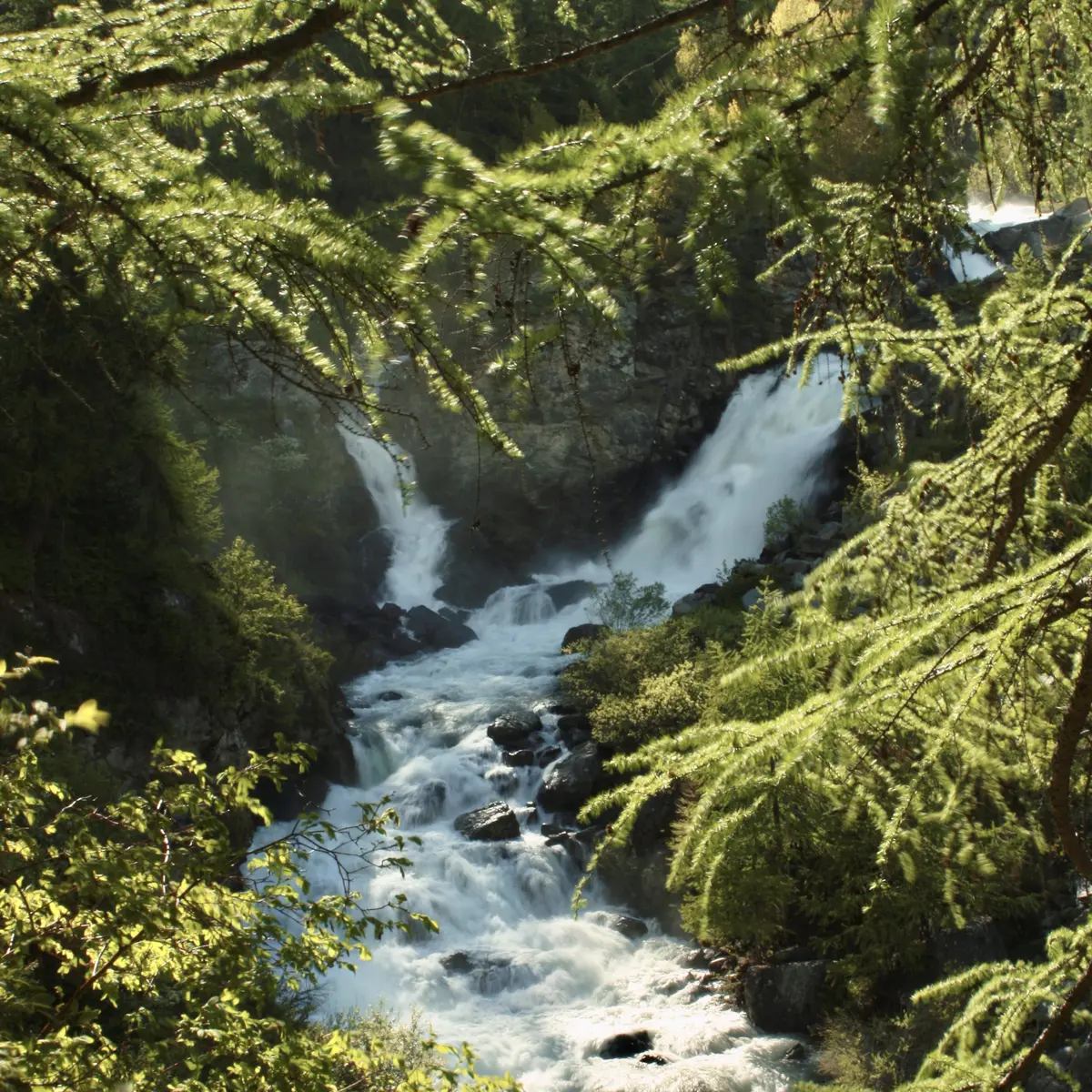
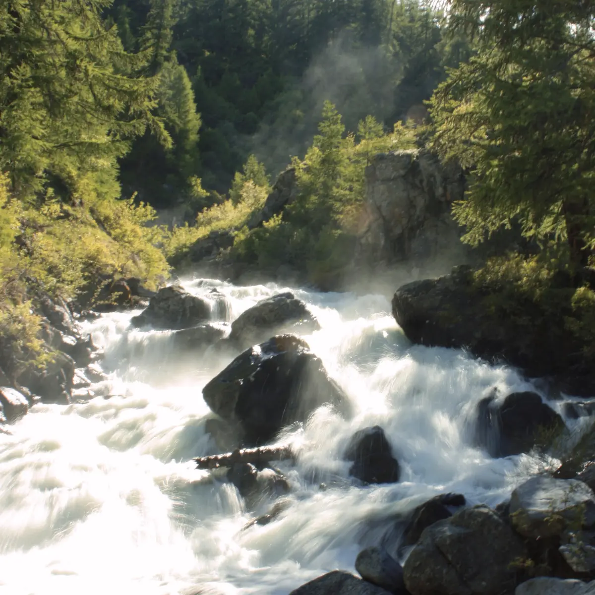
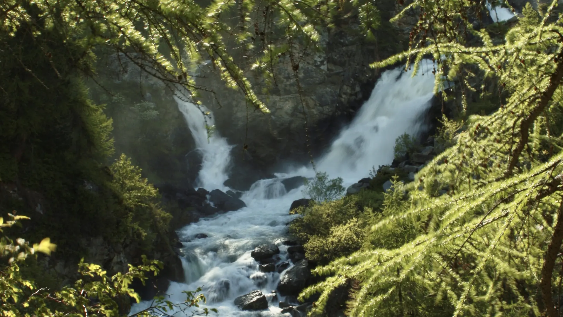
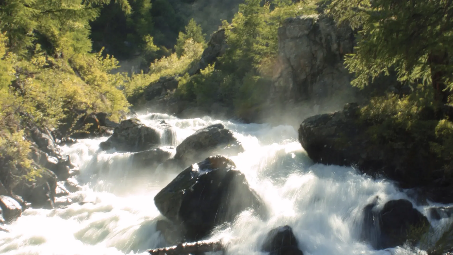
A loop that takes in the hamlet of Ville Haute, the river and one of its magnificent waterfalls. The trail winds through the forest.
From the Tourist Office parking lot, take the road into the hamlet of Ville Haute. Once past the church, take the GR 57 (road on the left between 2 houses).
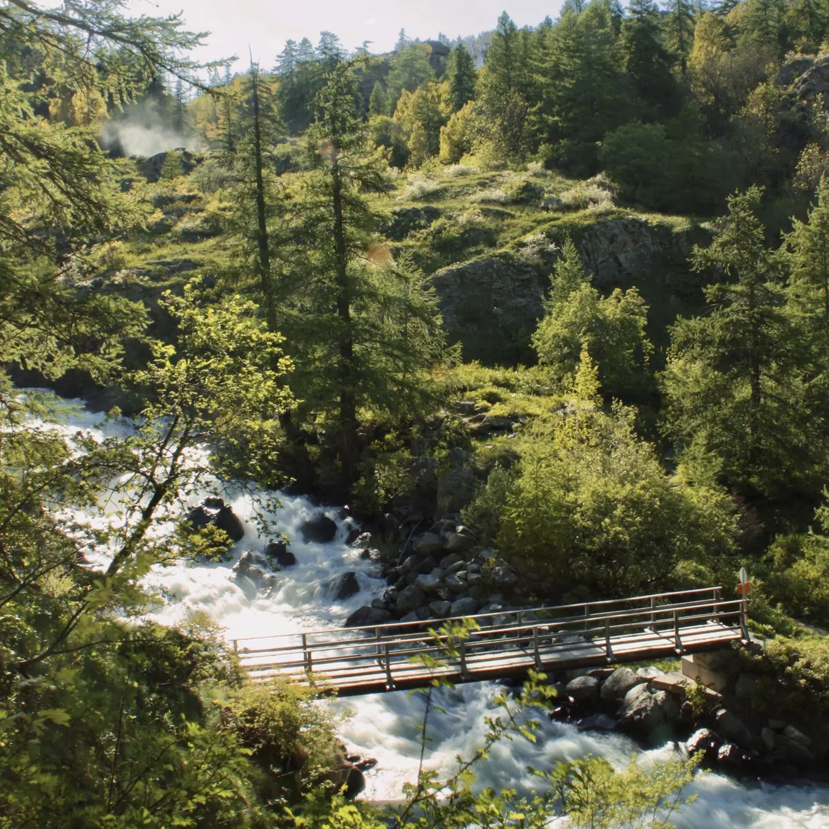
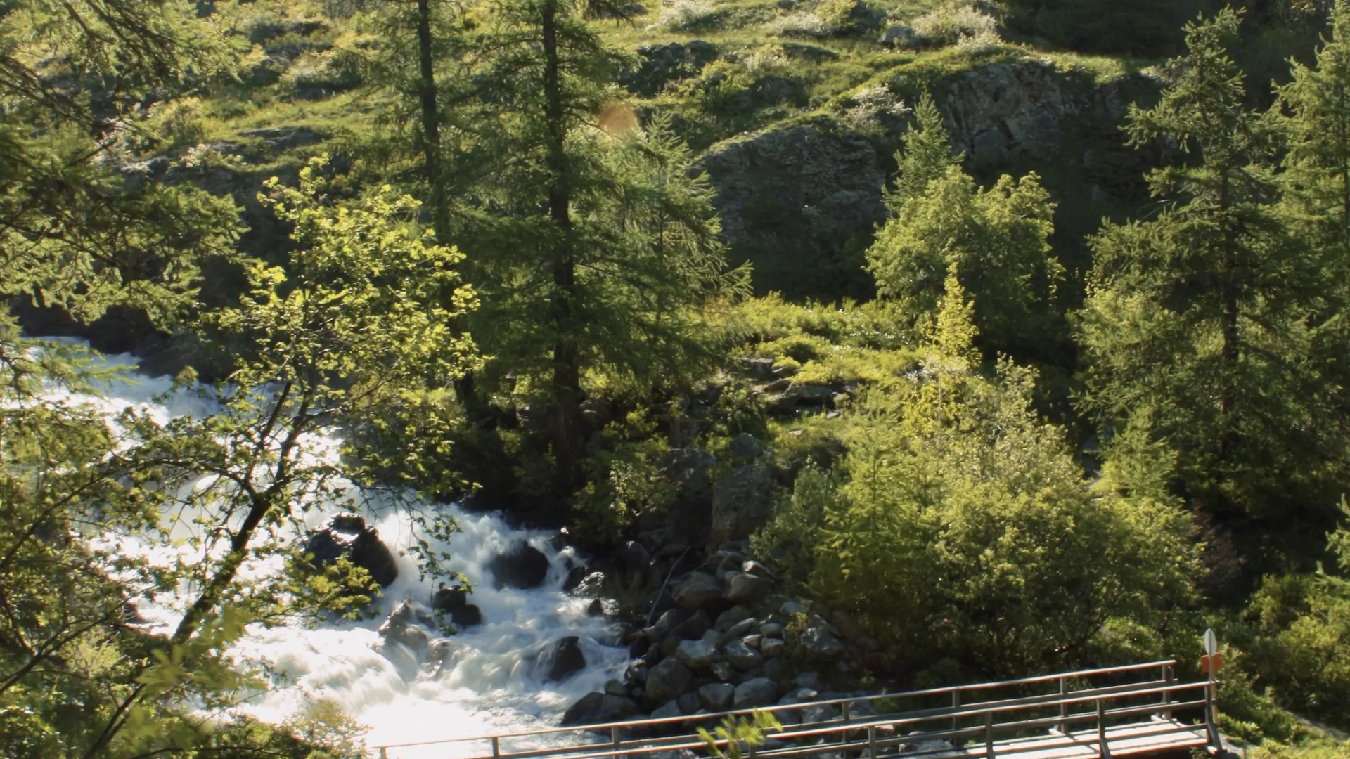
Cross the Outre bridge and follow the footpath slightly to the right. Follow the path until you reach a set of stairs descending to the right. This is where you'll find the Débaret waterfall.
Cross the bridge at the bottom of these steps and return along the path through the meadows to the road that leads back down to Ville Haute and back to the starting point.
Read more