Castellet-Saint-Cassien

Castellet Saint Cassien

Sport, Pedestrian sports, Hiking itinerary in Entrevaux
Unresolved hours
14.1 km
6h
Very difficult
  • Follow in the footsteps of the Romans along the ancient Roman road to the Château de Castellet-Saint-Cassien, once the summer residence of the Lords of Glandèves d'Entrevaux.

  • After the post office, follow the D911 in the direction of Brianconnet. After 300 m, turn left to avoid a section of road. The route then skirts the road again for 300 metres until you reach the Roman road on the left, where a gradual climb begins (approx. 400 metres) in a mineral and forest atmosphere. There are several cairns to help you find your way.

    Don't hesitate to turn around to enjoy the breathtaking view of the Entrevaux citadel on its rocky outcrop, and this section also offers...
    After the post office, follow the D911 in the direction of Brianconnet. After 300 m, turn left to avoid a section of road. The route then skirts the road again for 300 metres until you reach the Roman road on the left, where a gradual climb begins (approx. 400 metres) in a mineral and forest atmosphere. There are several cairns to help you find your way.

    Don't hesitate to turn around to enjoy the breathtaking view of the Entrevaux citadel on its rocky outcrop, and this section also offers spectacular views of the surrounding peaks and the rocky bar rising above the river Chalvagne.

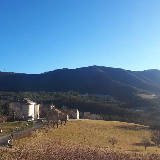
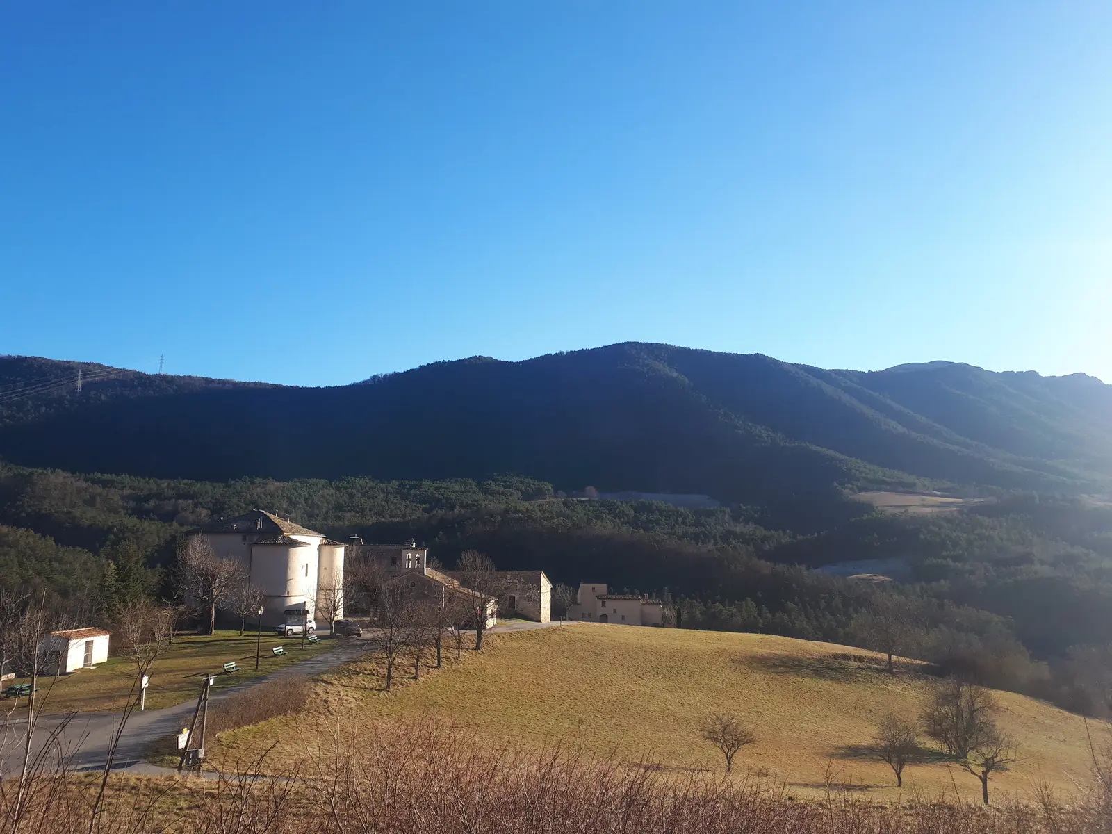
    The route then joins the road to Castellet-Saint-Cassien, which offers fine panoramic views of the wooded mountains of the Haut Esteron.

    Finally, follow the GR 4, which runs mainly through undergrowth, mainly pine, to descend to Entrevaux.
  • Departure
    Entrevaux
  • Difference in height
    815.667 m
  • Depart from Entrevaux, parking opposite Pont Levis after the oil mill.
  • Environment
    • In the country
    • Forest location
    • Close to a public transportation
    • TER stop (regional train) within 500 m
  • Documentation
    GPX / KML files allow you to export the trail of your hike to your GPS (or other navigation tool)
816 meters of difference in height
Created with Highcharts 6.2.0Distance (km)Altitude (m)0 km1 km2 km3 km4 km5 km6 km7 km8 km9 km10 km11 km12 km13 km14 km400 m500 m600 m700 m800 m900 m1000 m1100 m1200 mHighcharts.com
  • Maximum altitude : 1126 m
  • Minimum altitude : 485 m
  • Total positive elevation : 816 m
  • Total negative elevation : -816 m
  • Max positive elevation : 515 m
  • Min positive elevation : -147 m
Services
  • Services
    • Pets welcome