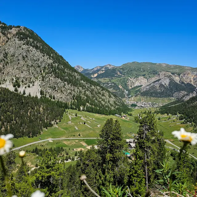
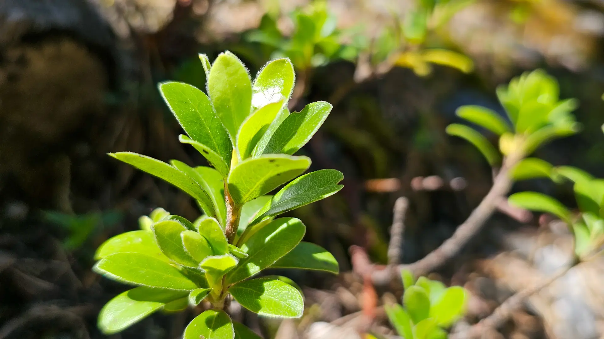
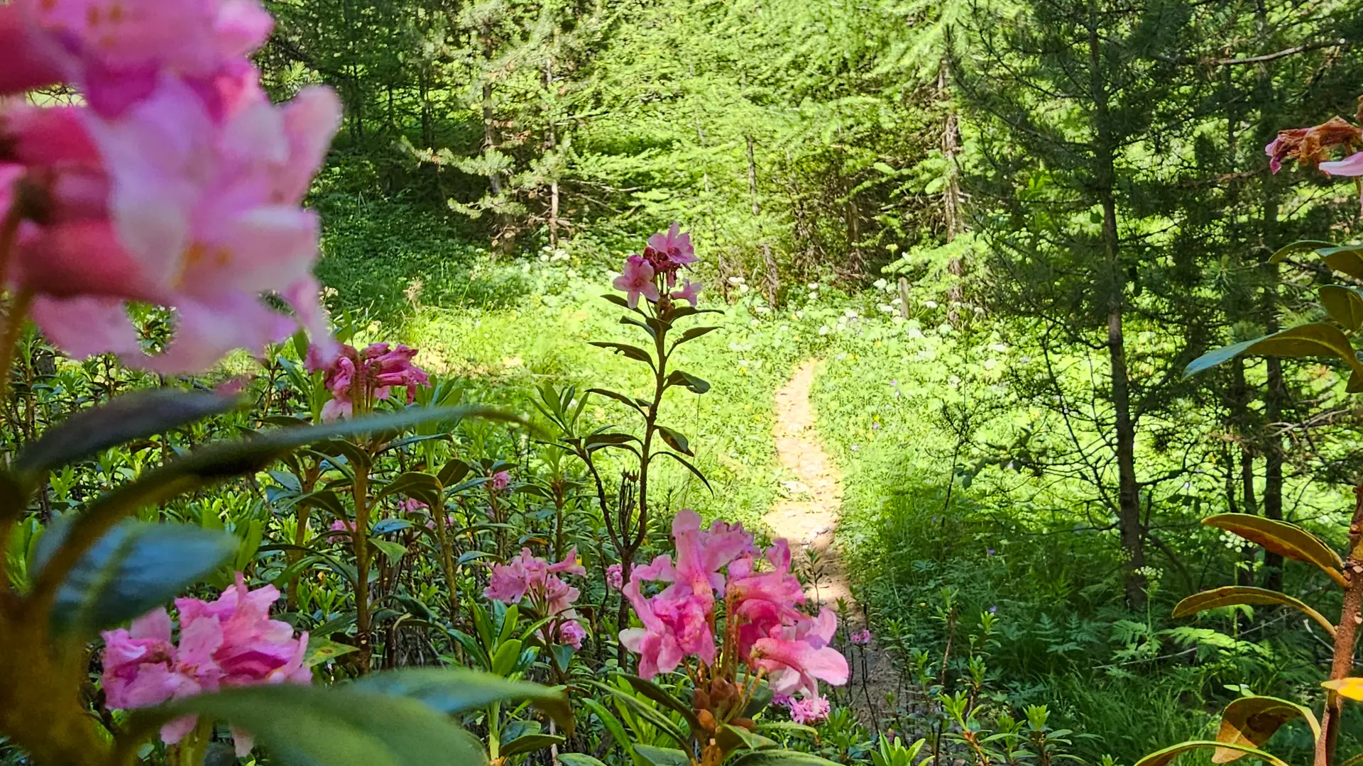
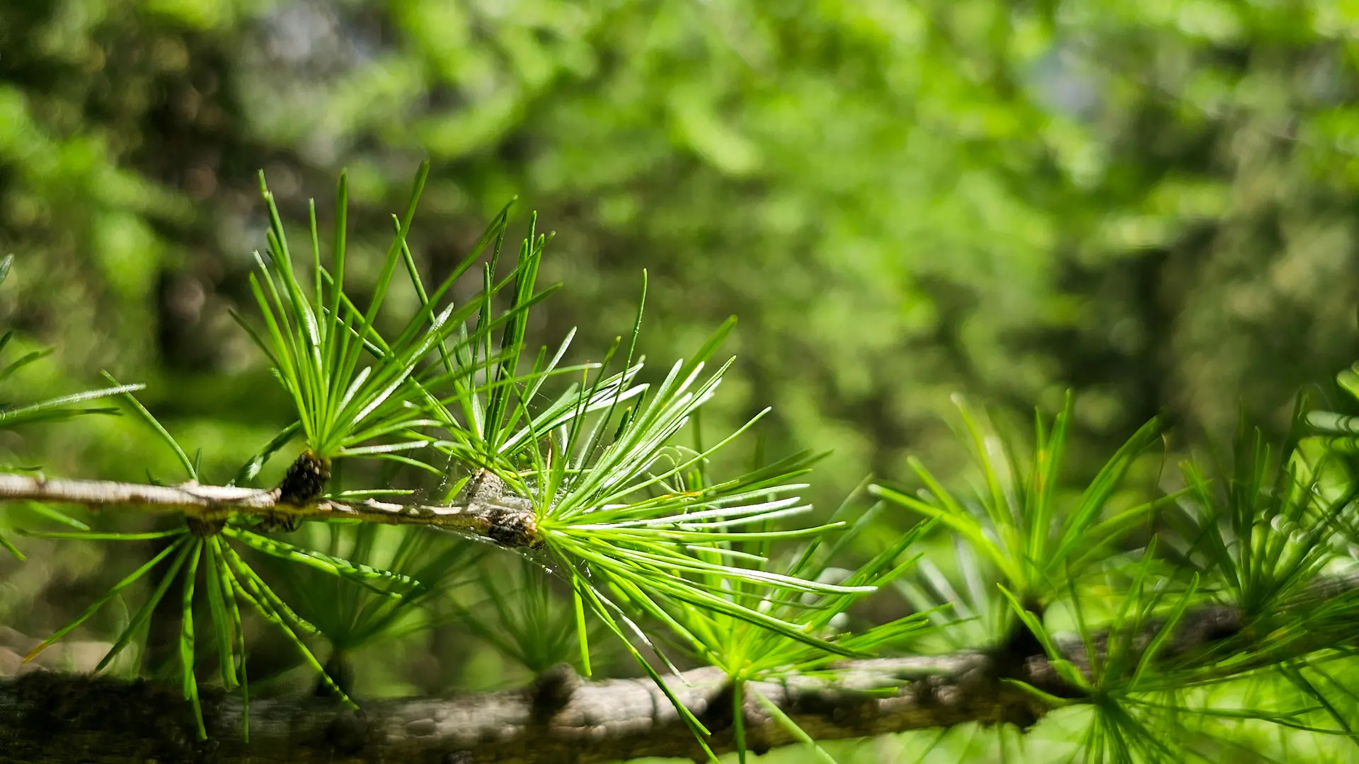
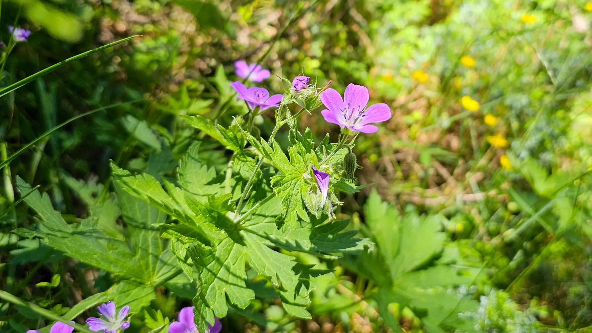
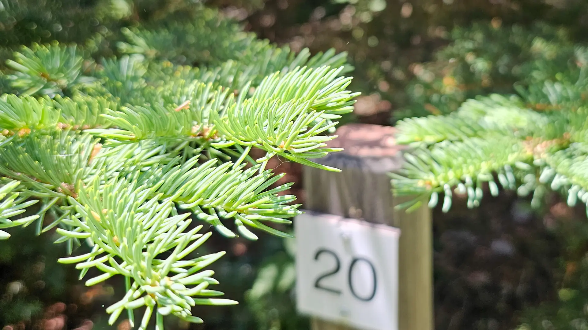
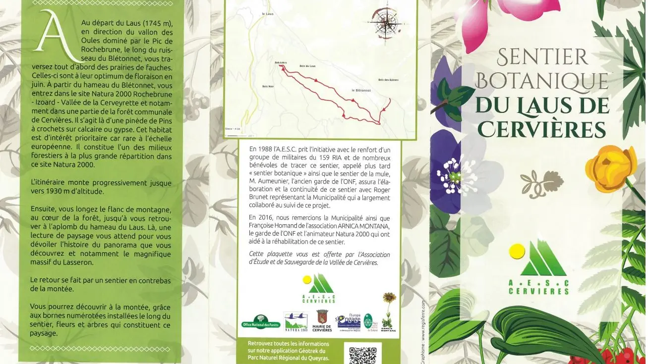
The Cervières botanical trail is equipped with posts indicating particular species of local flora that you can observe. You can identify the species using the plaque. A landscape reading awaits you at the top of the trail to reveal the history of the panorama you discover and in particular the Lasseron massif.
Detailed itinerary :
1. From the parking lot, head up towards the hamlet of Le Laus.
2. Arriving in front of the Arpelin inn, cross the bridge and take the path along the Blétonnet stream, towards the Oules valley.
3. Take the forest track along the stream for about 1500 m, passing the hamlet of Blétonnet.
4. 300m after the hamlet of Blétonnet, rejoin the track and turn right to cross the stream. At the end of the bridge, take the path on the right.
5. 250 m further on, at the fork in the road which is the arrival and departure point of the botanical trail in the strict sense of the term, there is a sign describing the trail and what you can see. Continue straight ahead.
6. Wind up to a new intersection. Take the right-hand path.
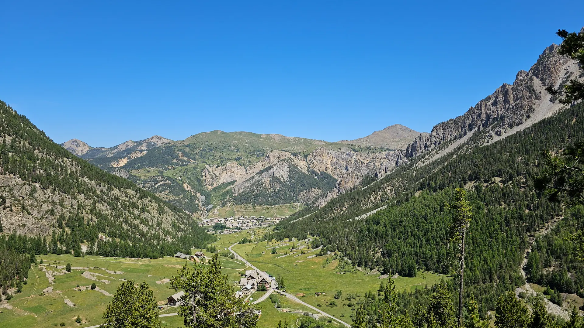
7. After a 950 m walk along the mountainside, you reach the belvedere, the highest point of the hike. Here you'll find a geological landscape sign.
8. Opposite the lookout, take the forest track to the right for a loop.
9. At the crossroads, continue straight ahead to reach the bridge.
10. The rest of the way back takes the same route as on the way up.
Read more