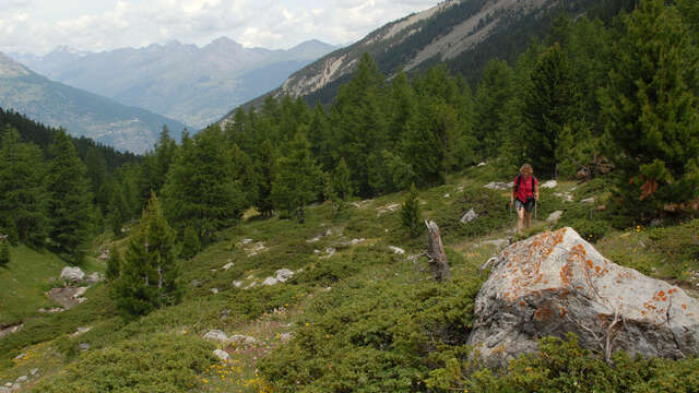
An easy loop hike in the heart of the Bois des Ayes.
Covering almost 400 hectares, this is one of Europe's most beautiful cembra forests, with a high proportion of old trees.
By car from Villard Saint Pancrace, follow the signs for Les Ayes and park in the Plan Peyron dirt parking lot.
Take the wide track opposite: a narrow path rises to the right, winding through the Ayes woods to the Taure chalets.
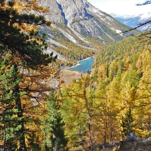
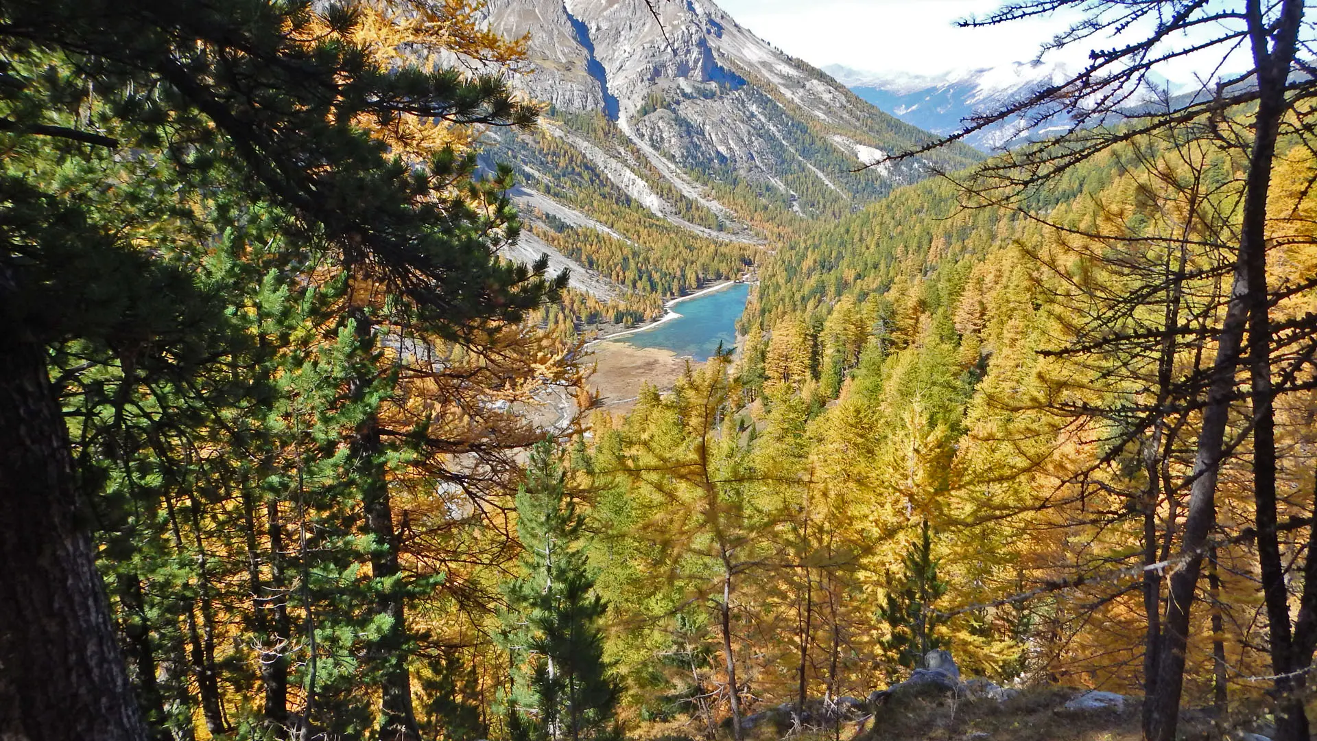
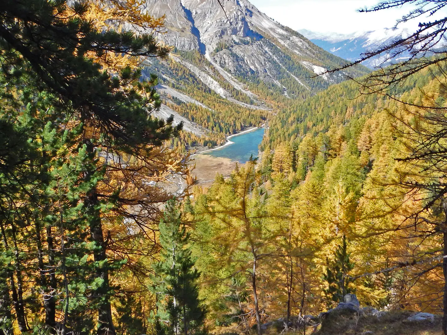
Cross the chalets; the path continues on a balcony above the Lac de l'Orceyrette, then gently descends to the Chalets de l'Alp.
Rejoin the wide track on the right towards the lake, then pick up the little path on the right bank of the lake, then of the torrent as far as Plan Peyron.
Certain parts of the Bois des Ayes Natura 2000 site are protected areas with specific regulations, and the law provides for fines in the event of infringement. The Bois des Ayes reserve aims to protect the nesting of woodpeckers, nocturnal birds of prey and black grouse.
The site is open to all, but don't forget to follow a few recommendations:
- Stay on marked trails
- Keep your dog on a leash
- Behave discreetly
- Photograph flowers and animals from the paths
- Leave stones in their place
- Do not light fires
- Bring back your garbage