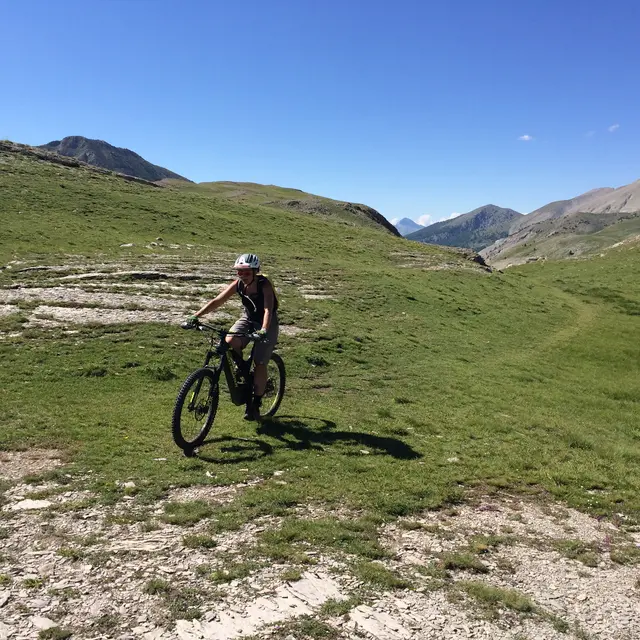
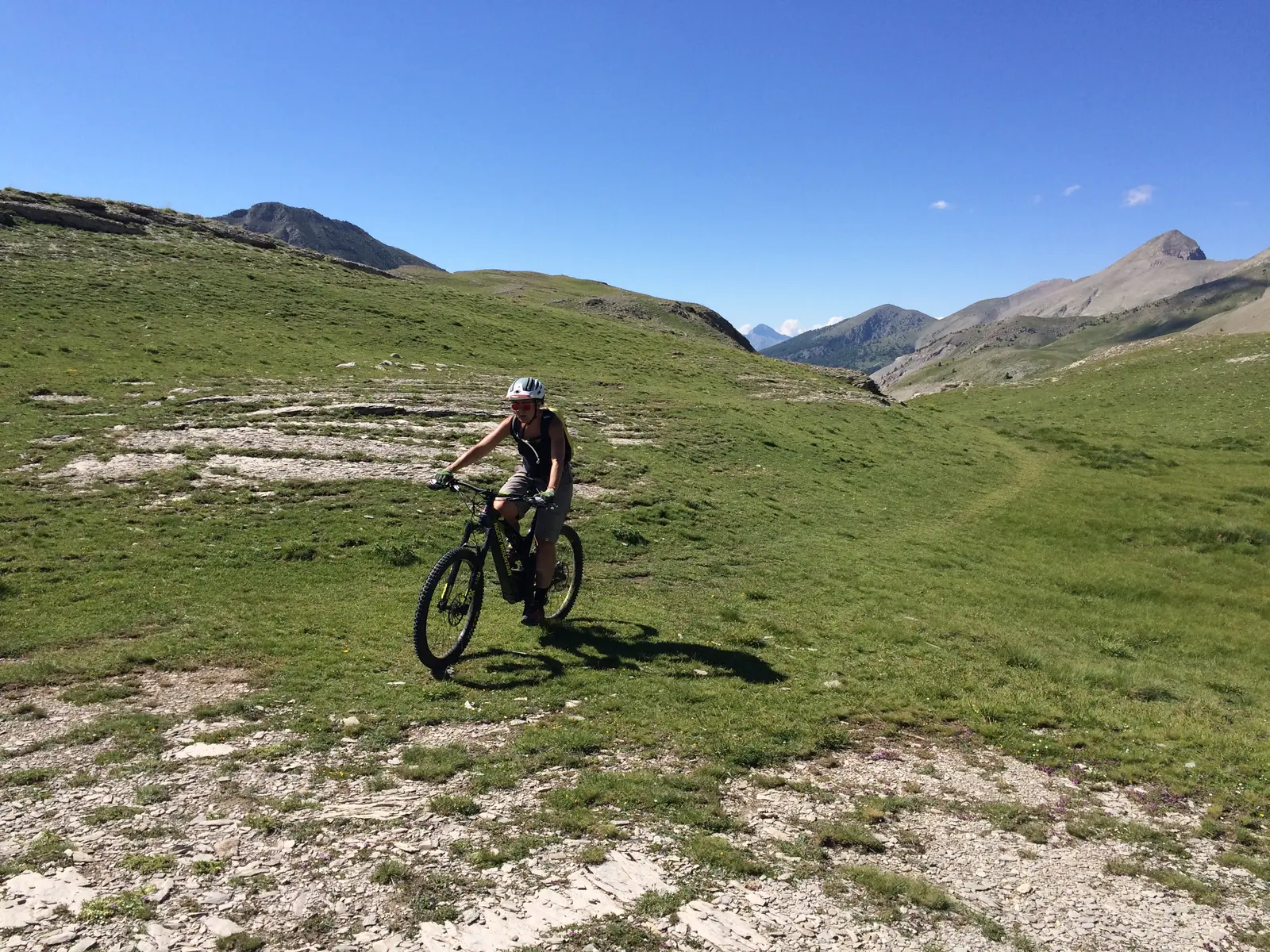
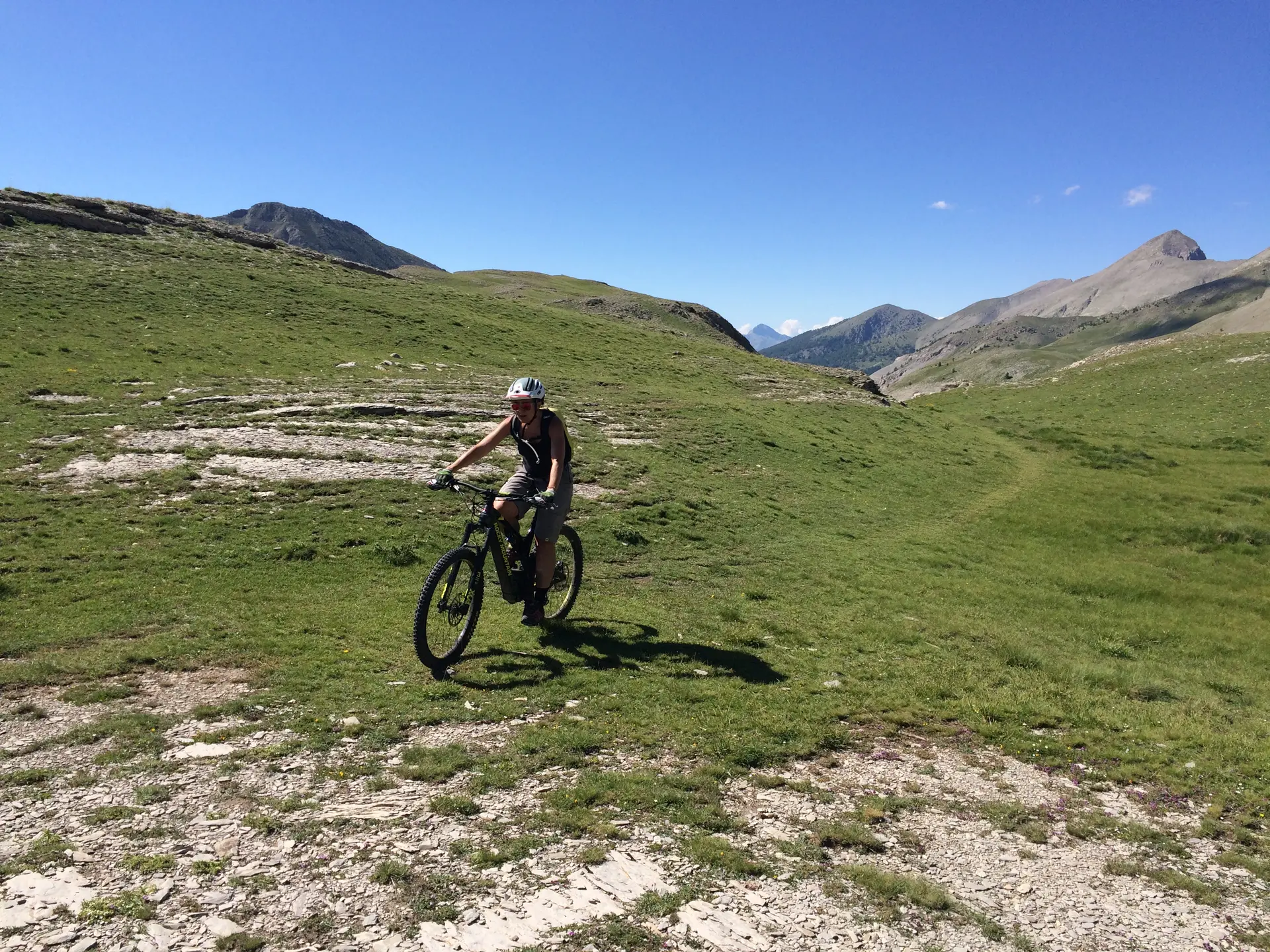
This route, marked out in accordance with French Cycling Federation standards, alternates between forest and ridge sections. It crosses pastures, larch and pine undergrowth and offers magnificent views over the valleys and surrounding mountains of Grand Coyer, Ruch, the Rent ridge and Grand Cordoeil. In winter, snowshoe enthusiasts can follow a signposted itinerary across this beautiful plateau, which serves as a refuge for many animals. All leave their footprints in the snow and deserve the utmost peace and quiet.
Read more