Start in front of the Centre nordique, take the Grand Rue into the village towards the gite d'étape de la Colle-Saint-Michel. Then turn right towards the church. The route then crosses the cross-country ski track and climbs to Les Coulets.
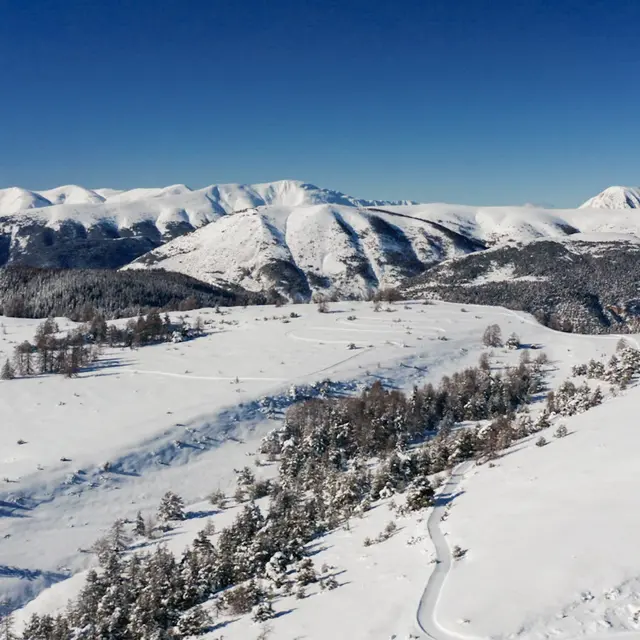
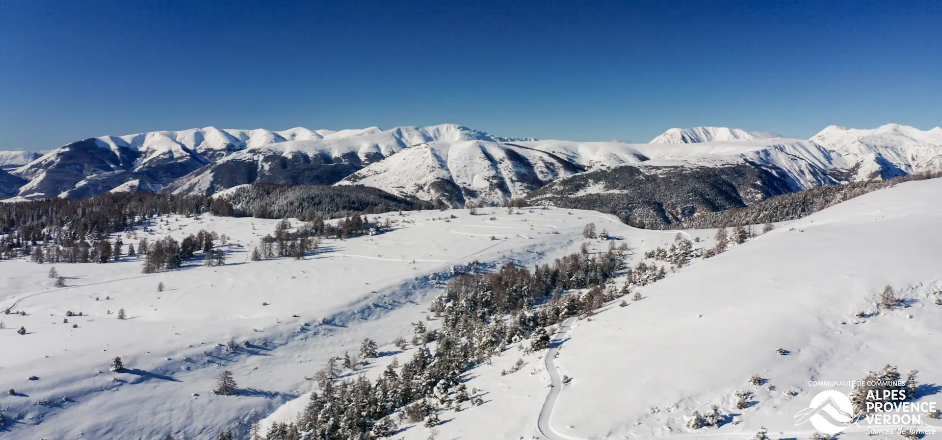
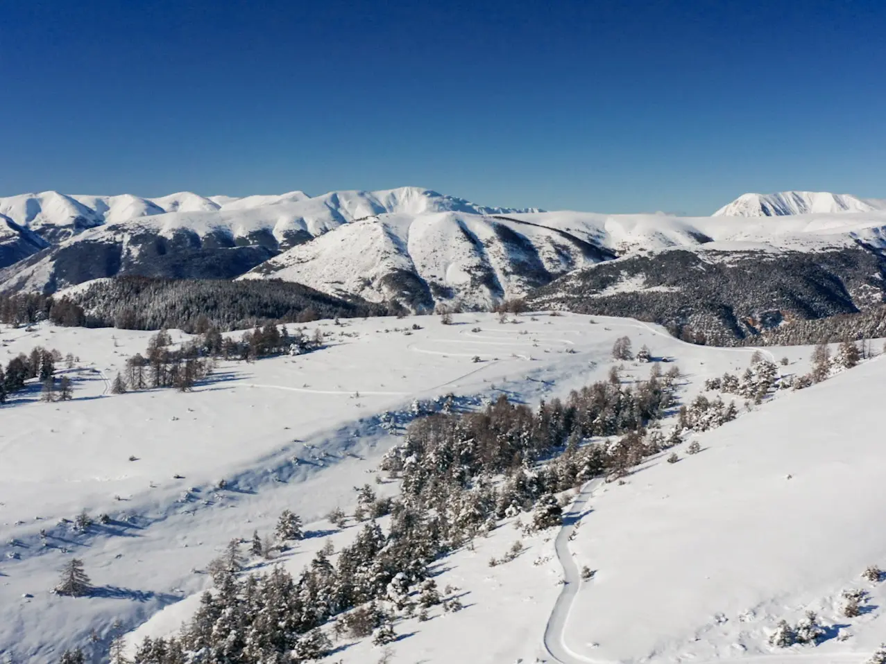
Continue to the Coueste crossroads, where you can enjoy a fine view of the village of Peyresq. Continue to the left, where a descent awaits you. The climb back up through the forest takes you to the Cabane de la Colle Baudet and on to Le Fontanil. From Le Fontanil, you'll progress to the vast Champlatte plateau.
A small variation is possible on the way up, via Les Chaumettes.
Once you've reached the plateau, if you want to extend your route, you can make a return trip to Pré de Thorame (+4.8 km).
To get back to where you started, this long route crosses the Champlatte plateau and then joins the Coueste, from where you return by the same route.
Damage is possible but not guaranteed.
Read more