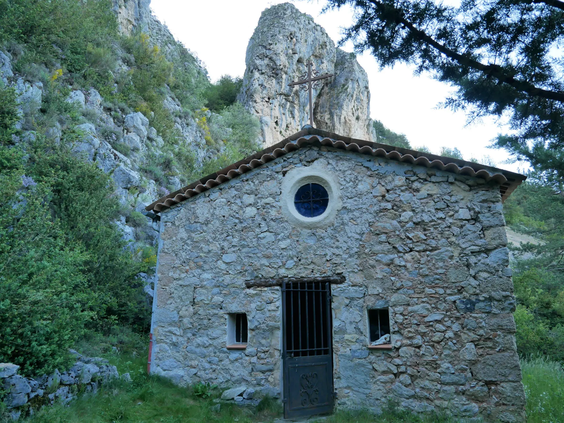
From Castellane, take the Route Napoléon to the village of La Garde. Cross the village. At the first sharp bend on the left, take the Chemin des Gravières to the Chapelle Saint-Martin. From La Garde, the route climbs into the Teillon foothills. Follow the path, which bends to the right, climbs under the cliffs and then continues sideways over the Gravières ravine (steep sections). After 1,200 m, at the junction for the climb to the summit of Teillon, you'll find a waymarker. Take the left-hand path on the adret of the Gravières. Descend to the left, cross the valley and continue on the opposite slope. The path enters the forest and joins the GR®4 after 1500m, at a place called "la Bauche", to descend to the village, opposite the inn.
Caution: park in the village and take the Chemin de St Martin on foot, as access is reserved for local residents.
Read more