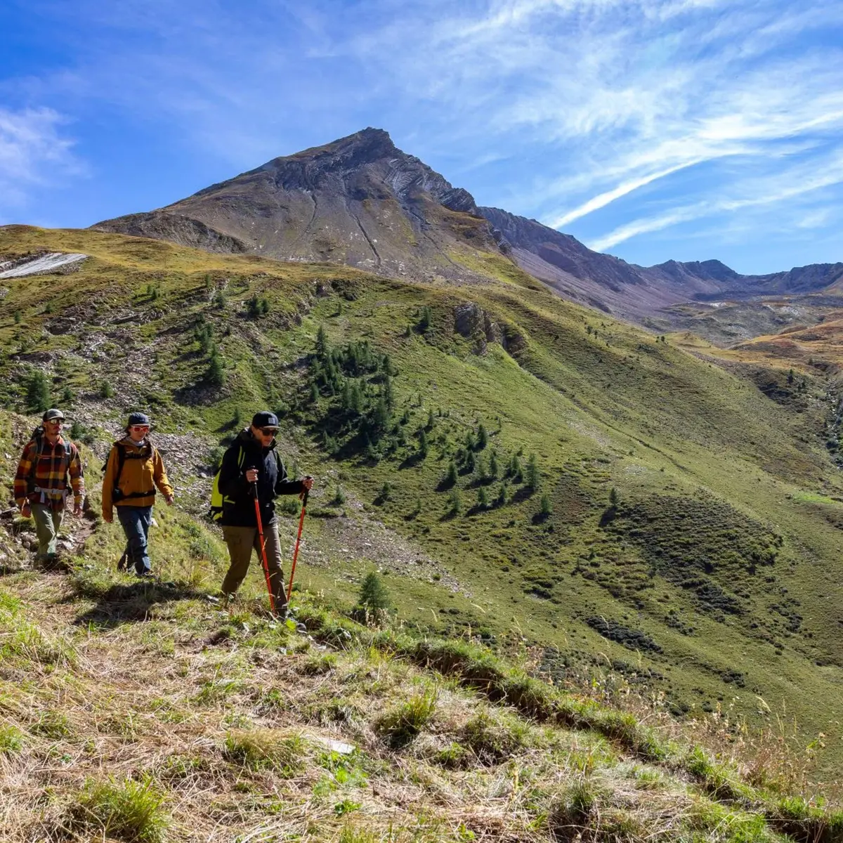
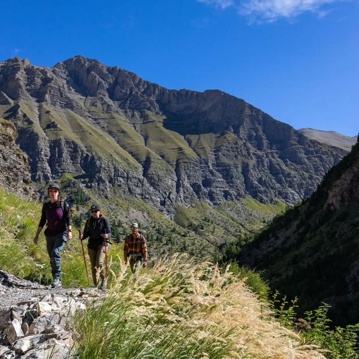
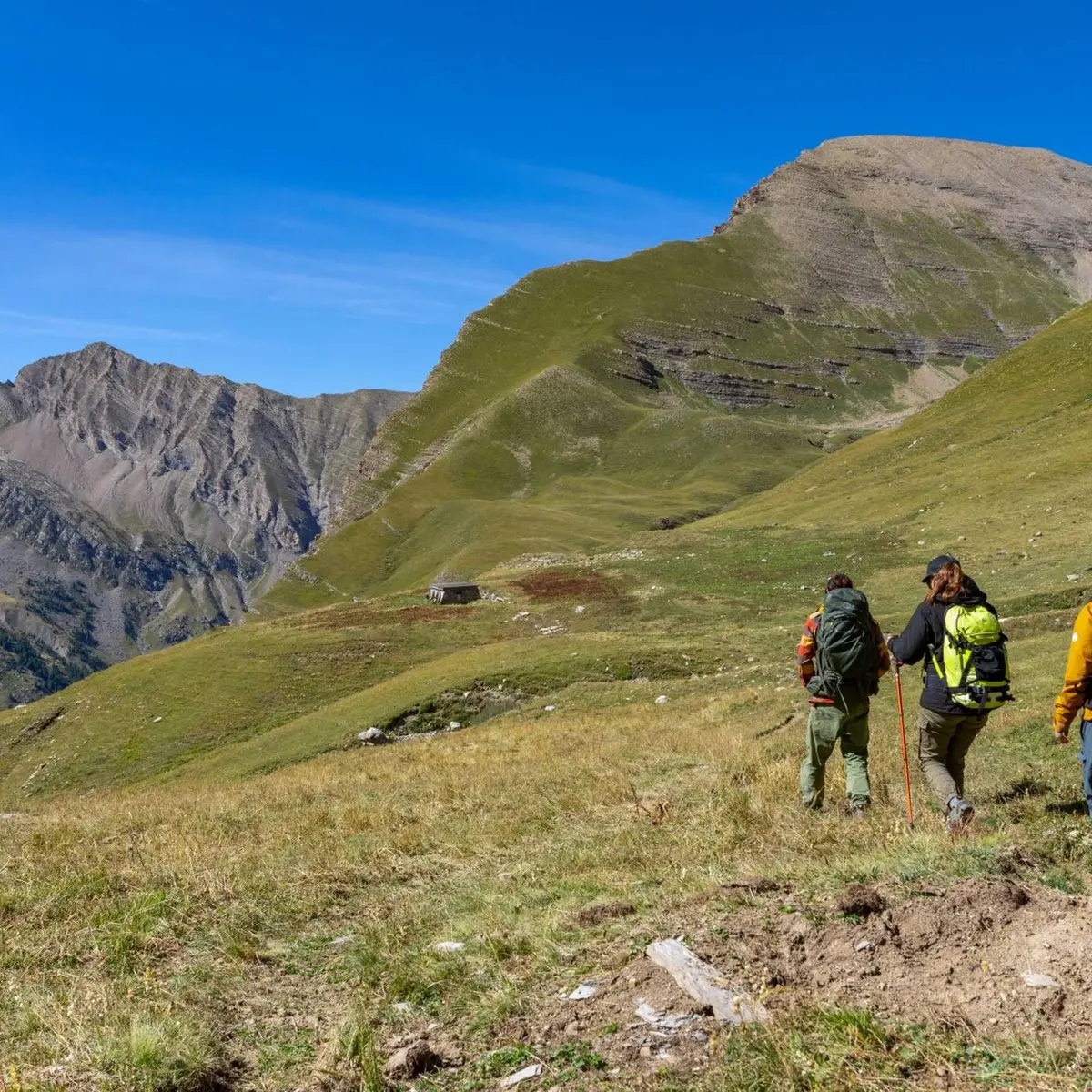
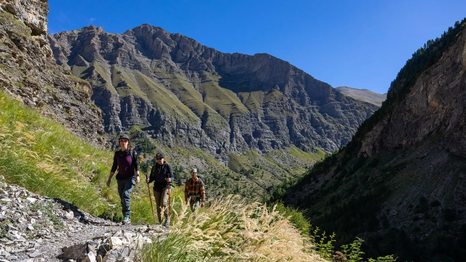
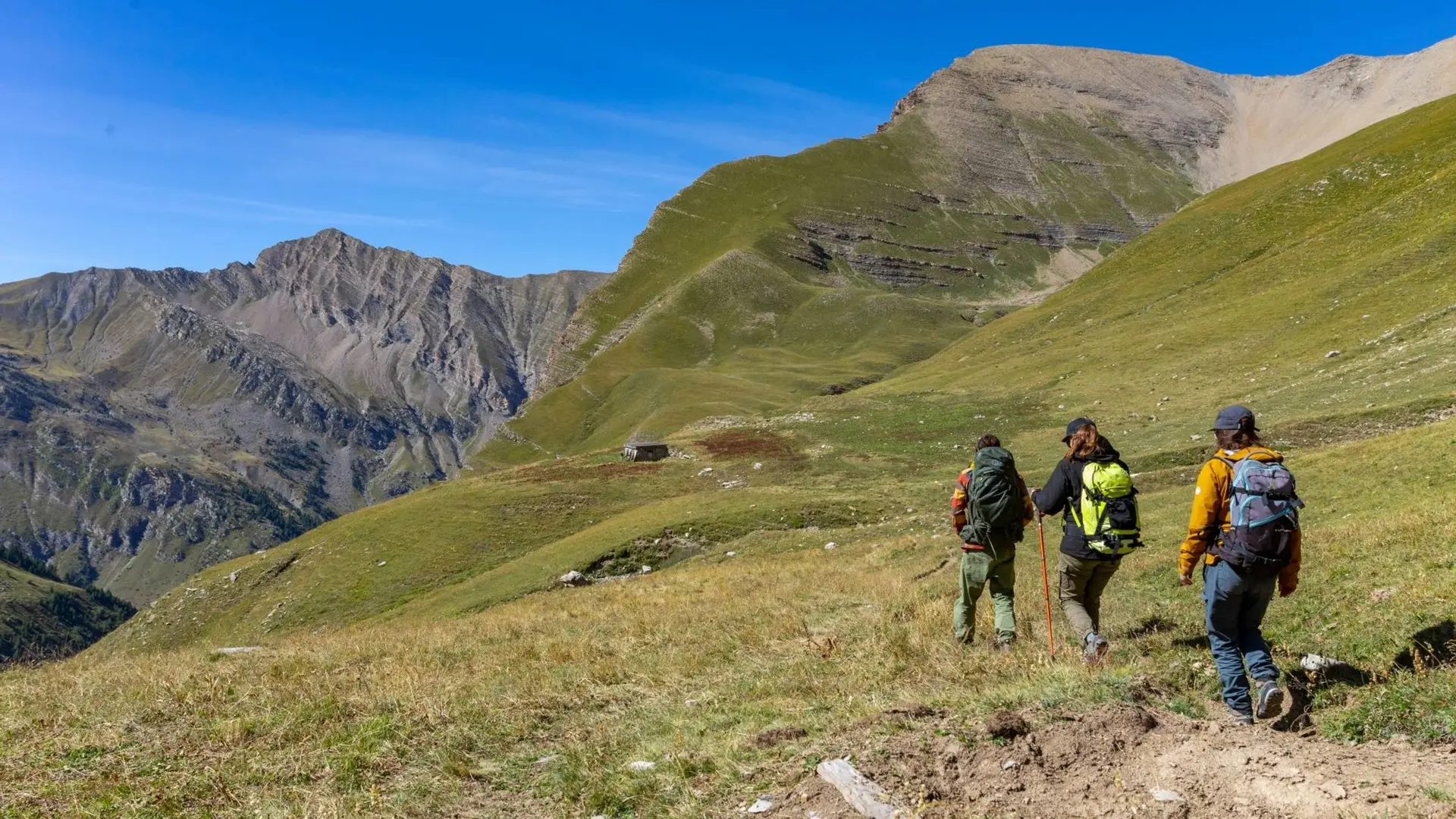
See photos (3)

Chargès Valley

Sport, Pedestrian sports, Hiking itinerary in Réallon
25.5 km
  • In the Spring, the flowery valley is adorned with many different colours. It leads to the Règue mountain pass which signifies « flock » in Patois.

  • From Gourniers car park, cross the hamlet and follow the track until la Chapelle-Saint-Marcellin. The track follows the hillside until a walkway at (Pont la Claie) then goes up to the cabin at Pré d'Antoni. Follow along to a torrent (walkway). Climb a grassy slope to reach a lower shelf and the source of the Chargès. From the source, follow « the drailles » (local word signifying ‘paths’ created by the passage of sheep) and cross a little stream running from a waterfall. The path meanders...
    From Gourniers car park, cross the hamlet and follow the track until la Chapelle-Saint-Marcellin. The track follows the hillside until a walkway at (Pont la Claie) then goes up to the cabin at Pré d'Antoni. Follow along to a torrent (walkway). Climb a grassy slope to reach a lower shelf and the source of the Chargès. From the source, follow « the drailles » (local word signifying ‘paths’ created by the passage of sheep) and cross a little stream running from a waterfall. The path meanders towards the mountain pass, marked with red lozenges and cairns.

    Hard
  • Departure
    Réallon
  • Difference in height
    2096.61 m
  • Departure : Les Gourniers, Réallon.
    Road access : From Savines-le-lac, just before the bridge, take the road to Réallon. Follow the signs to "Parc national des Ecrins", until Gourniers hamlet at the bottom of the valley..
  • Documentation
    GPX / KML files allow you to export the trail of your hike to your GPS (or other navigation tool)
2097 meters of difference in height
  • Maximum altitude : 2652 m
  • Minimum altitude : 1468 m
  • Total positive elevation : 2097 m
  • Total negative elevation : -1256 m
  • Max positive elevation : 922 m
  • Min positive elevation : -538 m