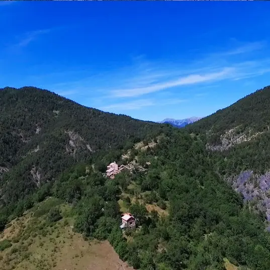
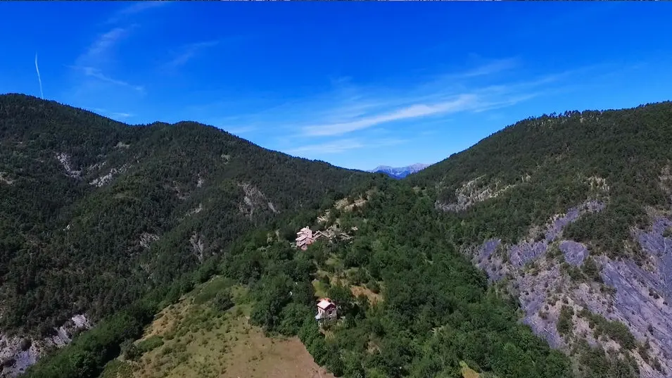
After St Pierre de Beaujeu, the hamlet of La Combe, and Les Granges Pierron, you will arrive at the summit of Chastelas. During the climb, you will come across a group of stones forming a sort of staircase: on the buttresses of two steps, herman de vries* engraved now* (2011-2012) and arcadia* (2011-2012) in gold letters. Throughout the territory of Haute-Provence, on rocks on the mountainside, on the banks of torrents or in abandoned villages, the artist has chosen to disseminate formulas, words or symbols that arouse both questioning and contemplation in view of their situation in the carefully chosen places. A naturalist by trade, his view of the world is strongly influenced by Eastern philosophy.
now – maintenant – invites us, just like it's sis nunc hic, another inscription visible near the summit of Cousson, to be aware of the present moment.
arcadia refers to Arcadia, a region of Greece described in ancient texts as a place where nature and man evolved in harmony, in a wild and preserved landscape.
ainsité (2011-2012) is engraved on a stone in the middle of the scree near the summit. This neologism refers to the word tathâta, a very important concept in Buddhist thought and to the fact that everything is thus. By engraving this term at the summit of Chastelas, the artist invites hikers to try to perceive things in their truth, their authentic nature. At the summit, on a stone below the cairn is written yes, which invites a form of acceptance of what is.
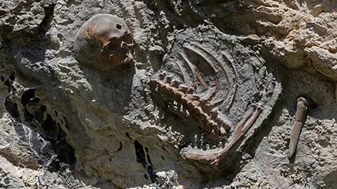
After coming back down from Chastelas, you can reach the Galèbre via the chemin du facteur and reach the barre des Trembles on the left of the trail. There you will find the fifth site of the work, Les Hydropithèques by Joan Fontcuberta. This Catalan artist, a graduate in information sciences, theorist, critic, historian and professor, questions in his work all forms of so-called truth.
With the Hydropithèques route, a device initiated in the 2000s in the Digne region, it takes you into a reality that is both plausible and unusual... In fact, it is a set of bas-reliefs representing the skeletons of mermaids, a new paleontological species that is the ancestor of all European hominids... The imagination then runs wild, between the different fossil deposit sites (between the towns of Digne, Barles, Verdaches, Beaujeu and Prads-Haute-Bléone) and the unmissable installation visible at the Gassendi museum. Using the codes specific to scientific research, they function as so many pieces of evidence, proof of authenticity and question the visitor on the manipulation capacities of display devices with scientific connotations in particular.
Find the full description of the routes in the L'Art en montagne collection in the Topo guide "L'Art en montagne, 22 hikes to discover contemporary art in the Haute-Provence Geopark" (€15), available at the reception of the Gassendi museum, the Maison Alexandra David-Neel, and the Tourist Office.
Read more