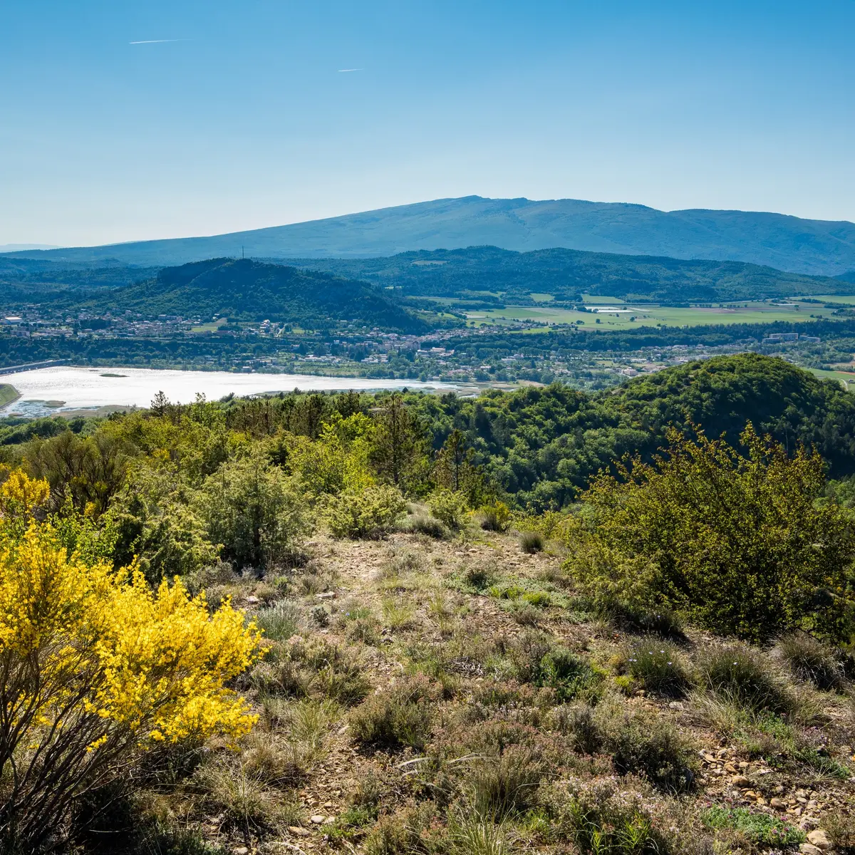
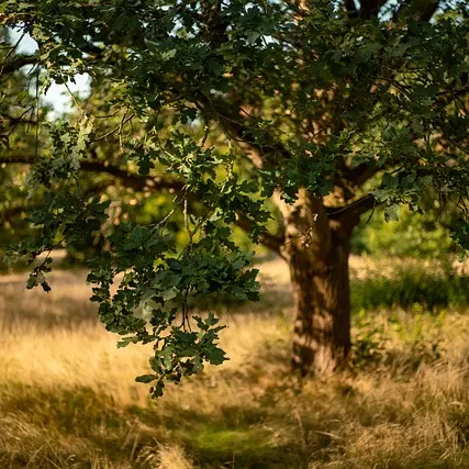
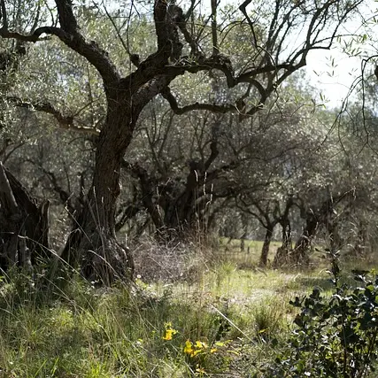
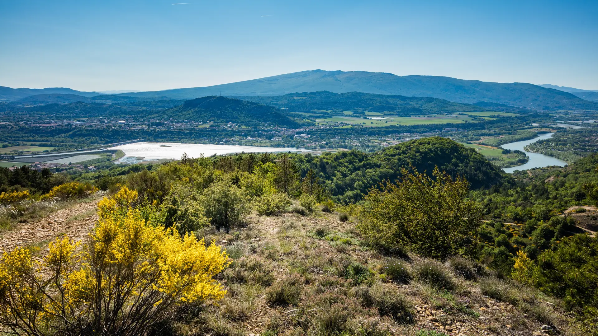
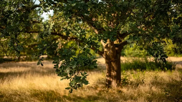
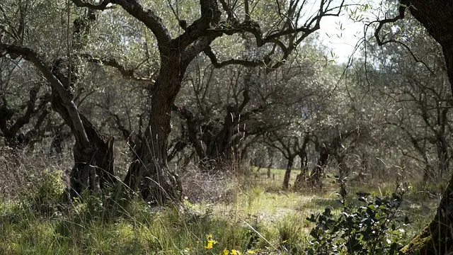
Departure from Malijai, on the left bank of the Bléone. From the roundabout near the bridge, take the road to Puimichel, then immediately, the street on the right in the subdivision. At the first crossroads, follow the path of the Hill, then the first street on the right. This continues after 100m by a forest track. After 250m, you reach the bottom of the Fontette ravine, which you leave very quickly to reach a "croupe" path. Still following this one, alternating the shade of the oaks and the views of the Bléone and the Durance valley, you gradually reach, by a steep slope, a ridge then a balcony path. Then the descent to Malijai begins on your left by following a second "path of Puimichel" through the woods. You can also continue straight towards the "Haut-Val" then Chénerilles.
Read more