See photos (4)

Chemin des Oliviers

Sport, Pedestrian sports, Hiking itinerary in Les Mées
3.6 km
1h 30min
Easy
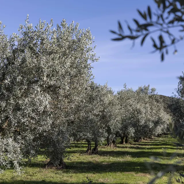
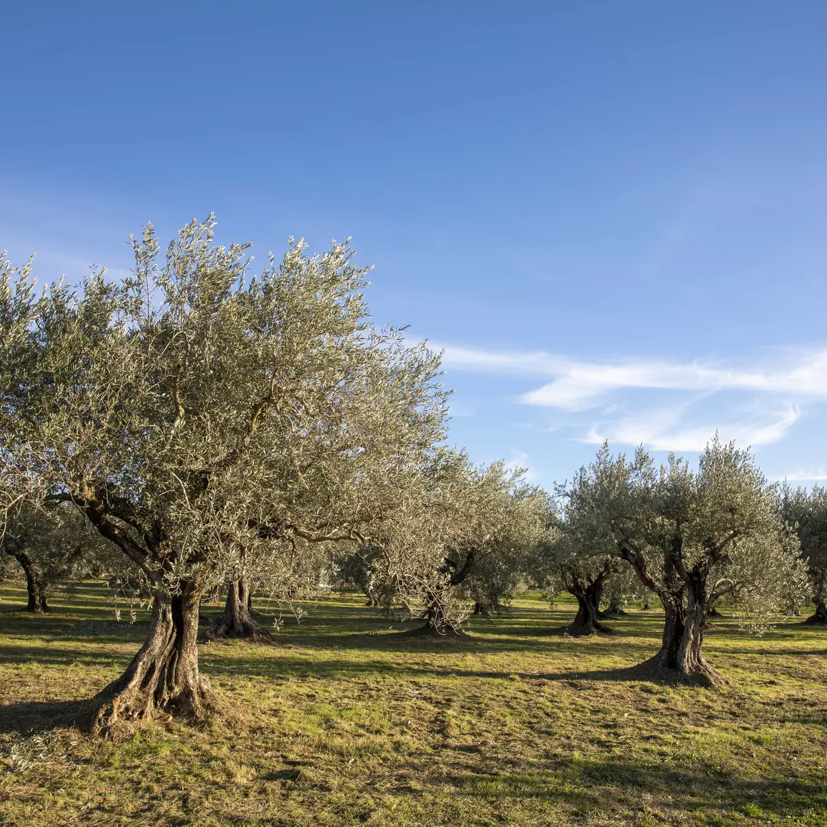
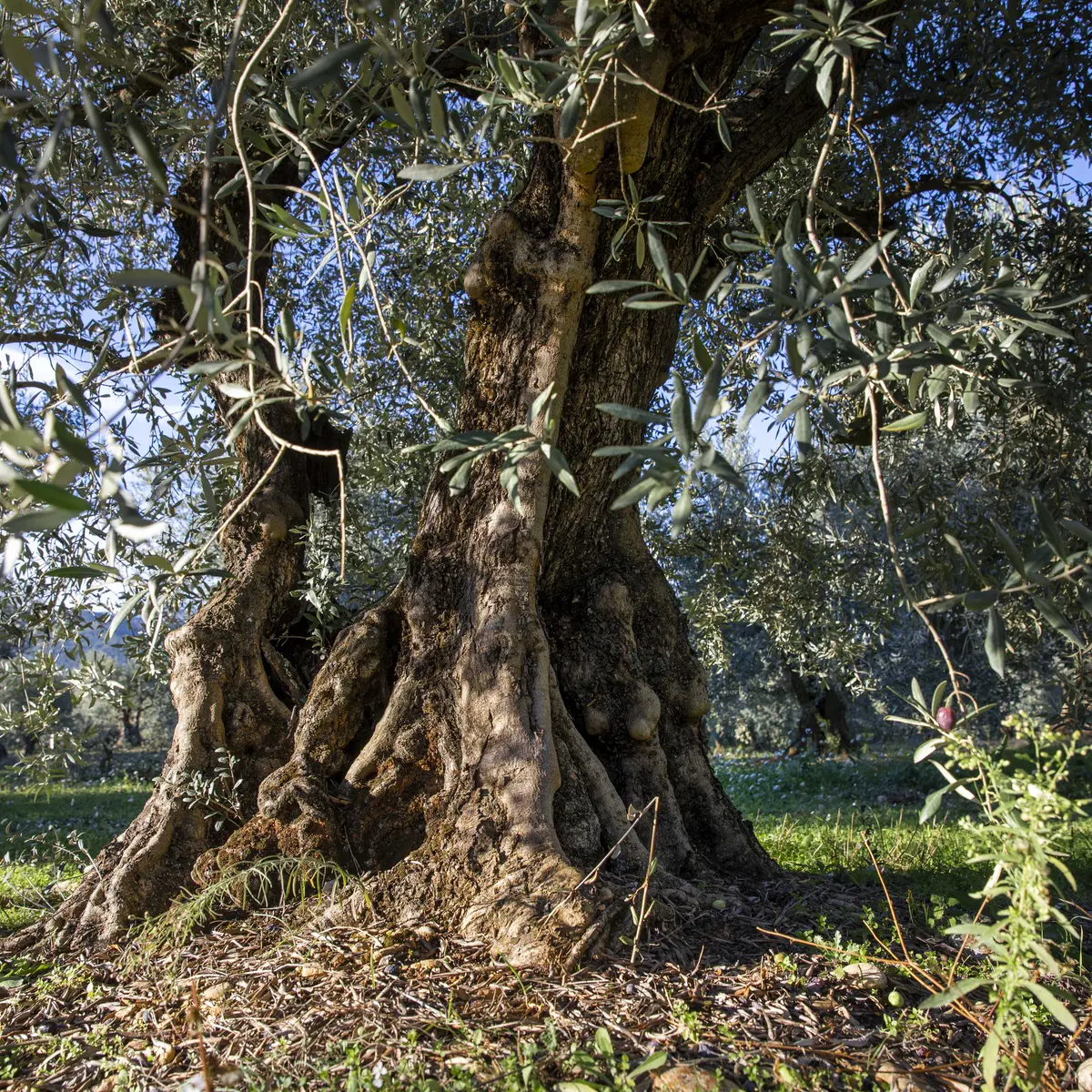
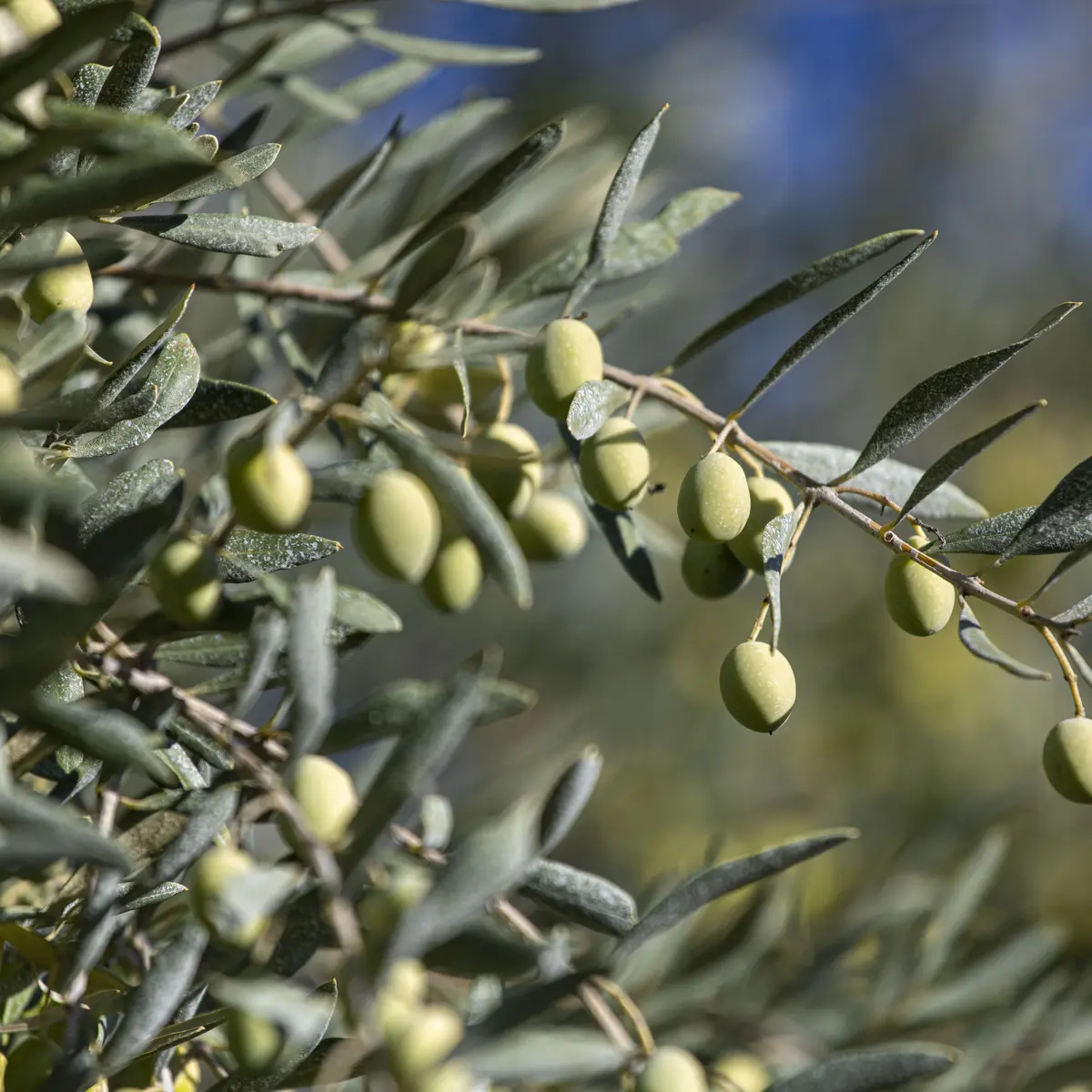
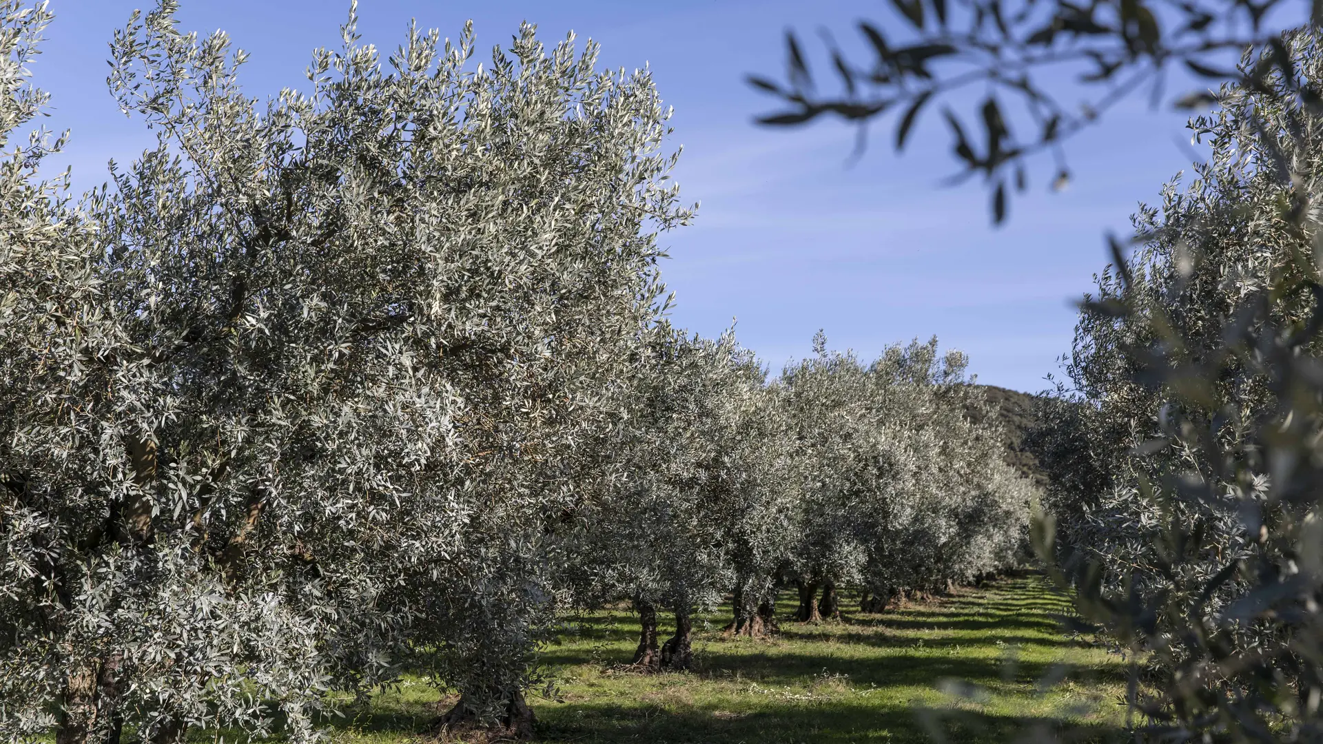
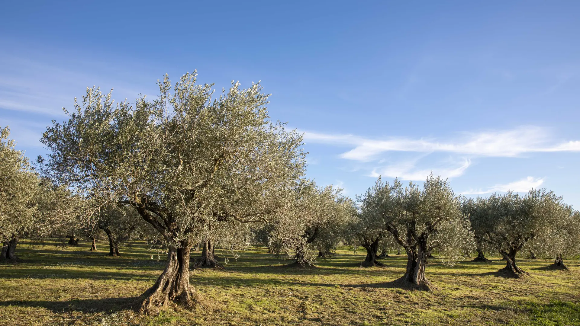
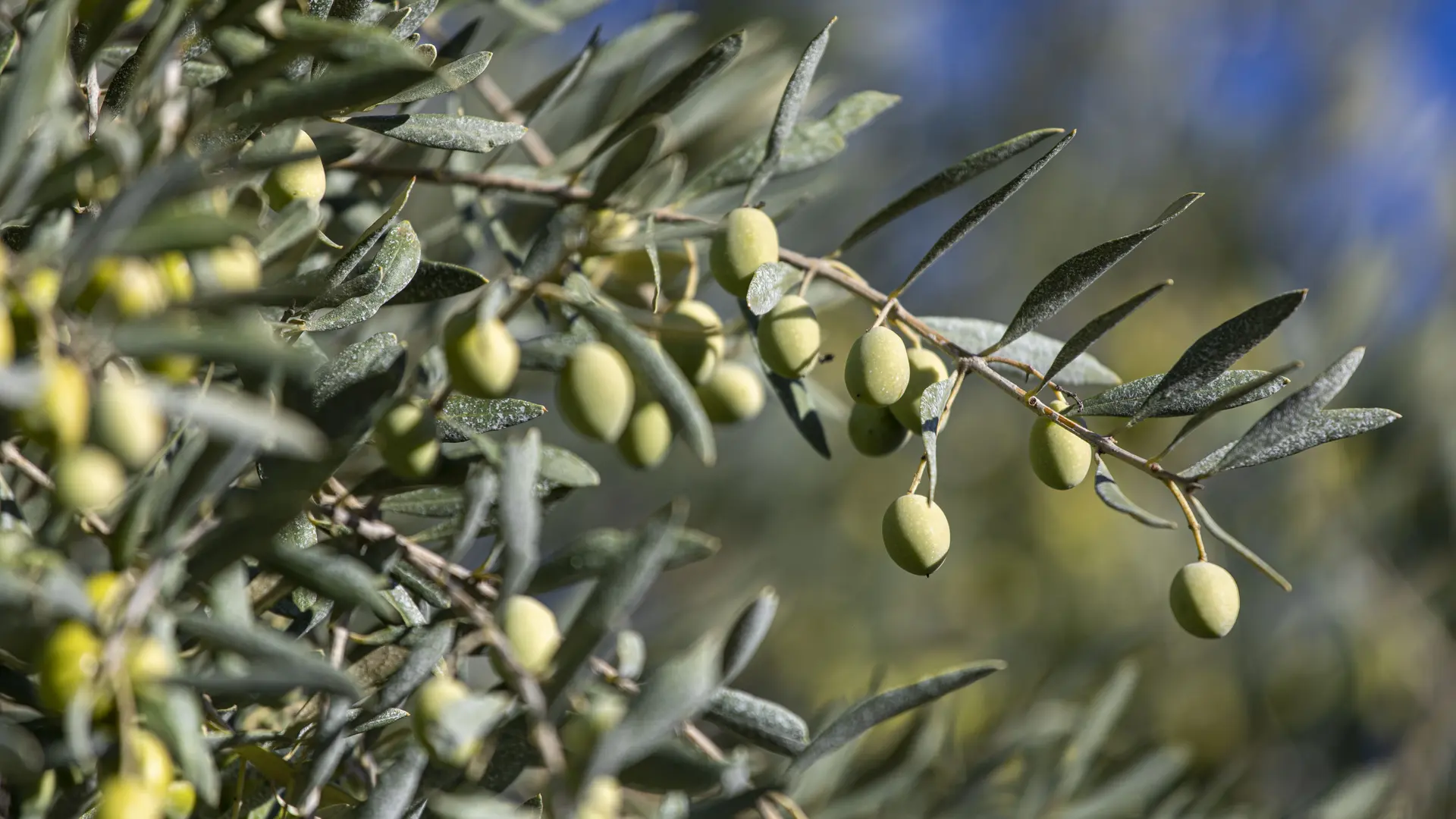
  • This trail allows you to discover the olive groves of Les Mées, the 1st olive-growing commune in the Alpes de Haute-Provence department.

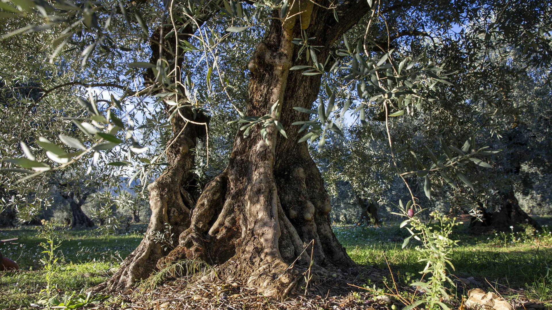
  • Departure from the ruined Saint-Pierre chapel built in the 16th century, in the direction of Oraison. This trail allows the discovery of Les Mées olive groves, the 1st olive-growing village in the Alpes de Haute-Provence area. Multi-centenary olive trees on both sides of the road.
  • Departure
    Les Mées
  • Difference in height
    74.6283 m
  • Environment
    • Panoramic view
  • Spoken languages
    • French
  • Documentation
    GPX / KML files allow you to export the trail of your hike to your GPS (or other navigation tool)
  • Accepted customers
    • Level green – easy
75 meters of difference in height
  • Maximum altitude : 516 m
  • Minimum altitude : 433 m
  • Total positive elevation : 75 m
  • Total negative elevation : -75 m
  • Max positive elevation : 55 m
  • Min positive elevation : -50 m