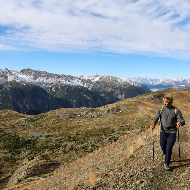
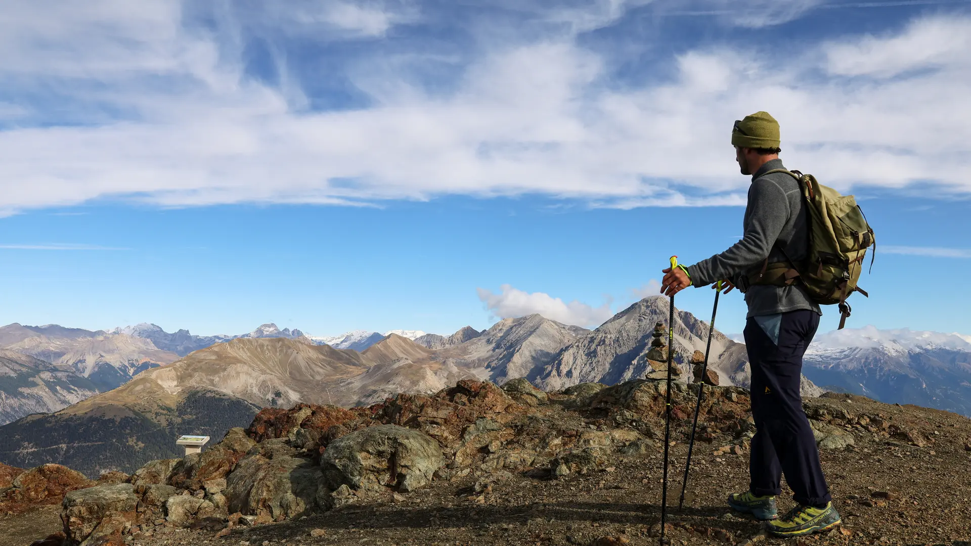
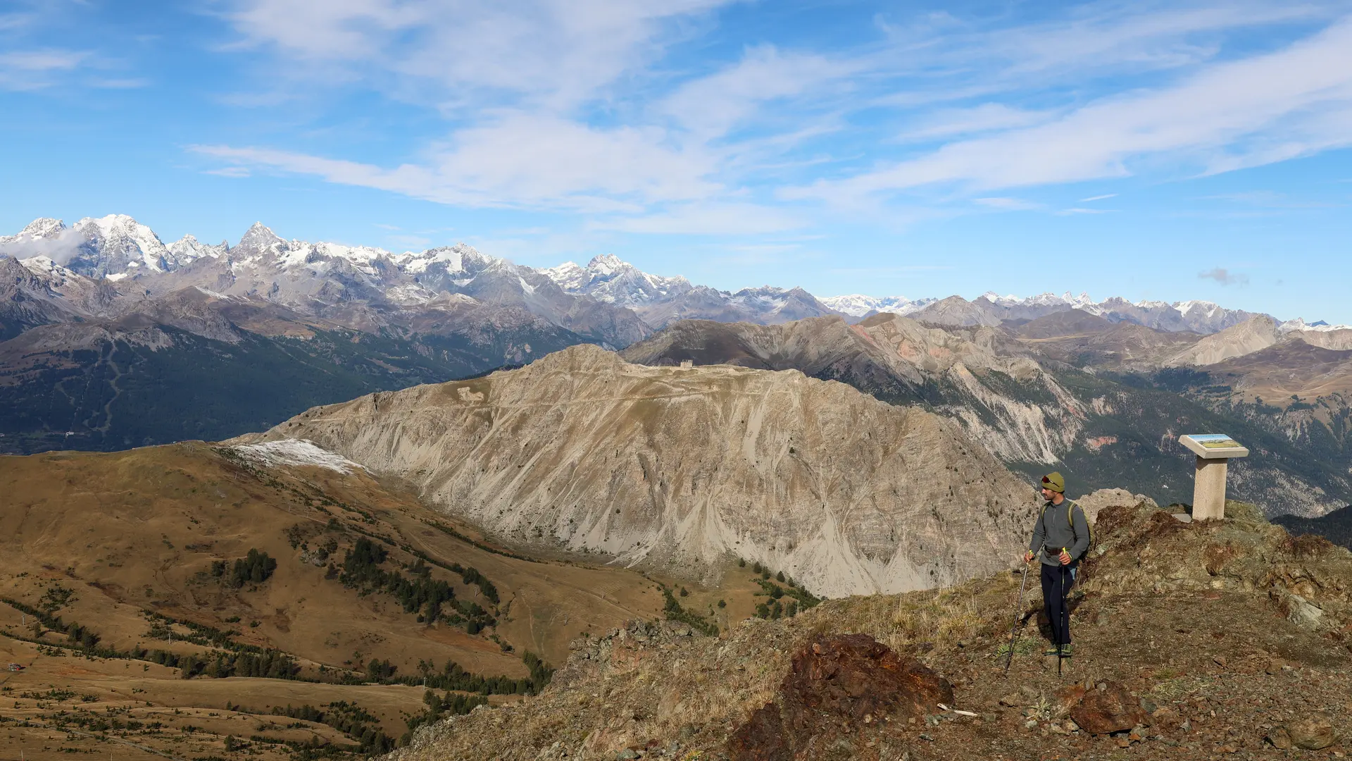
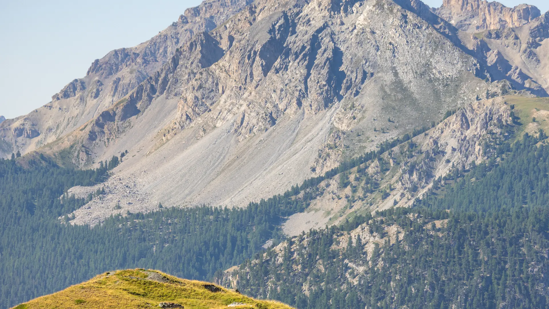
This hike, with its explanatory markers, will help you discover the exceptional geological interest of the Chenaillet: oceanic rocks at an altitude of over 2,500m, with a unique panoramic view of the Queyras, Ecrins, Cerces and Italy...
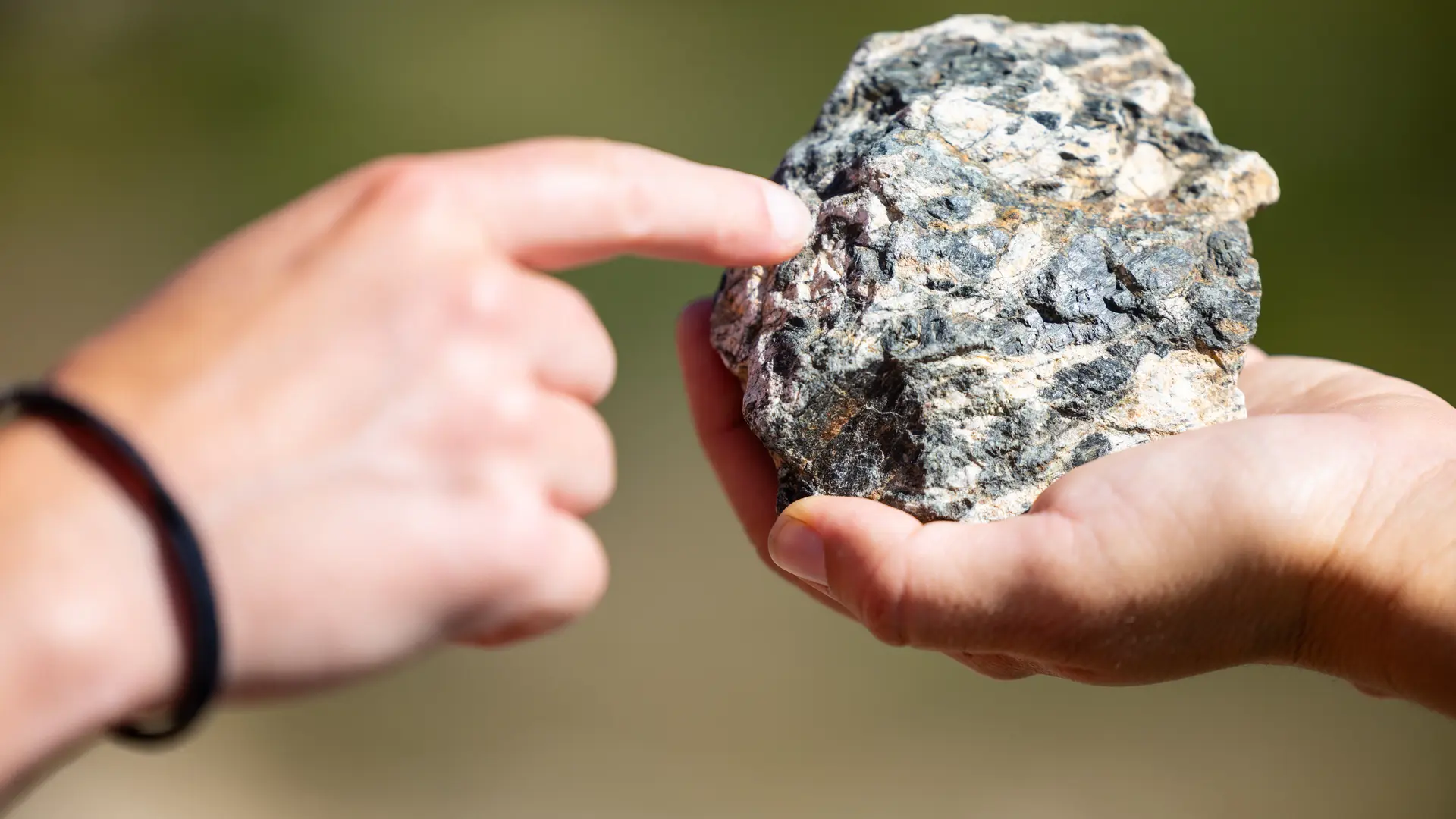
Departing from the plain of the Bourget marsh, this loop with its varied landscapes and unique panorama lets you discover the astonishing presence of an ancient oceanic volcano, showing three main rocks in the open air: serpentinites, gabbros, pillow basalts, testimony to the existence of the Alpine Ocean 150 million years ago... an exceptional hike, not to be missed in the Briançonnais.
Park at the parking lot just after the Aittes wall on the left-hand side of the road.
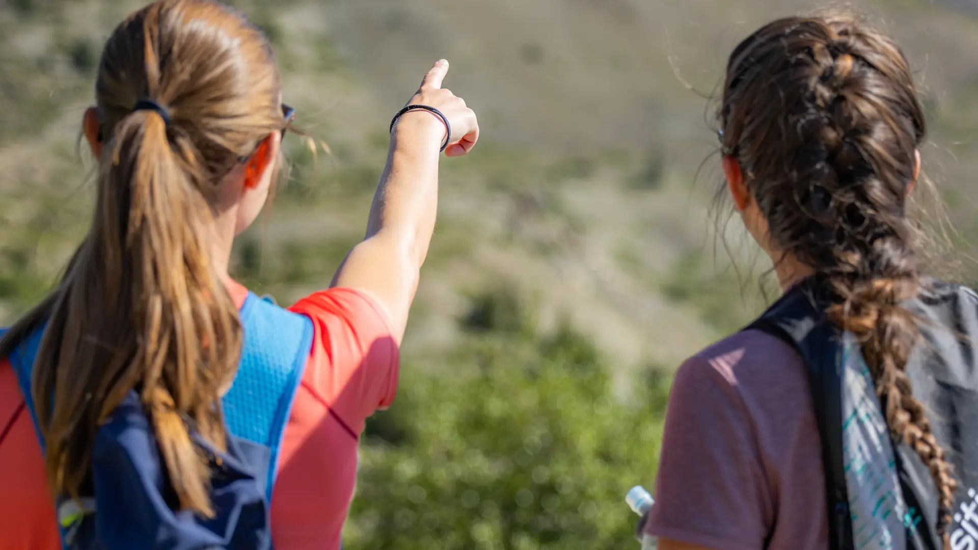
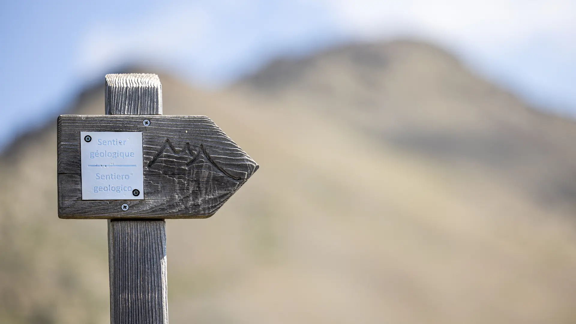
The itinerary is well-marked and begins with steps from the parking lot and a first explanatory marker. Follow the signs for the Massif du Chanaillet / and Lac des Sarailles geological trail. The trail rises on a medium gradient through meadows, moorland and wetlands for about 1.8 km.
At the fork in the road, continue straight on towards Lac des Sarailles, with a few winding bends over 300 m to reach the lake. From here, several paths and shortcuts lead to Chenaillet. To avoid damaging the site, we ask you to stay on the main path: ignore the track on the right and go around the lake and its wetland to the left to stay on the main itinerary and reach the ridge and the customs hut.
At the Cabane des douaniers - take the right-hand track towards Chenaillet: the well-marked path climbs northeast through the ridge.
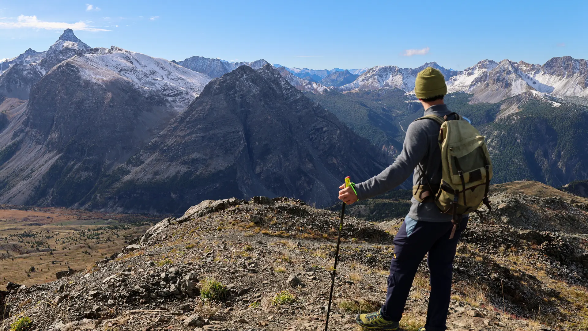
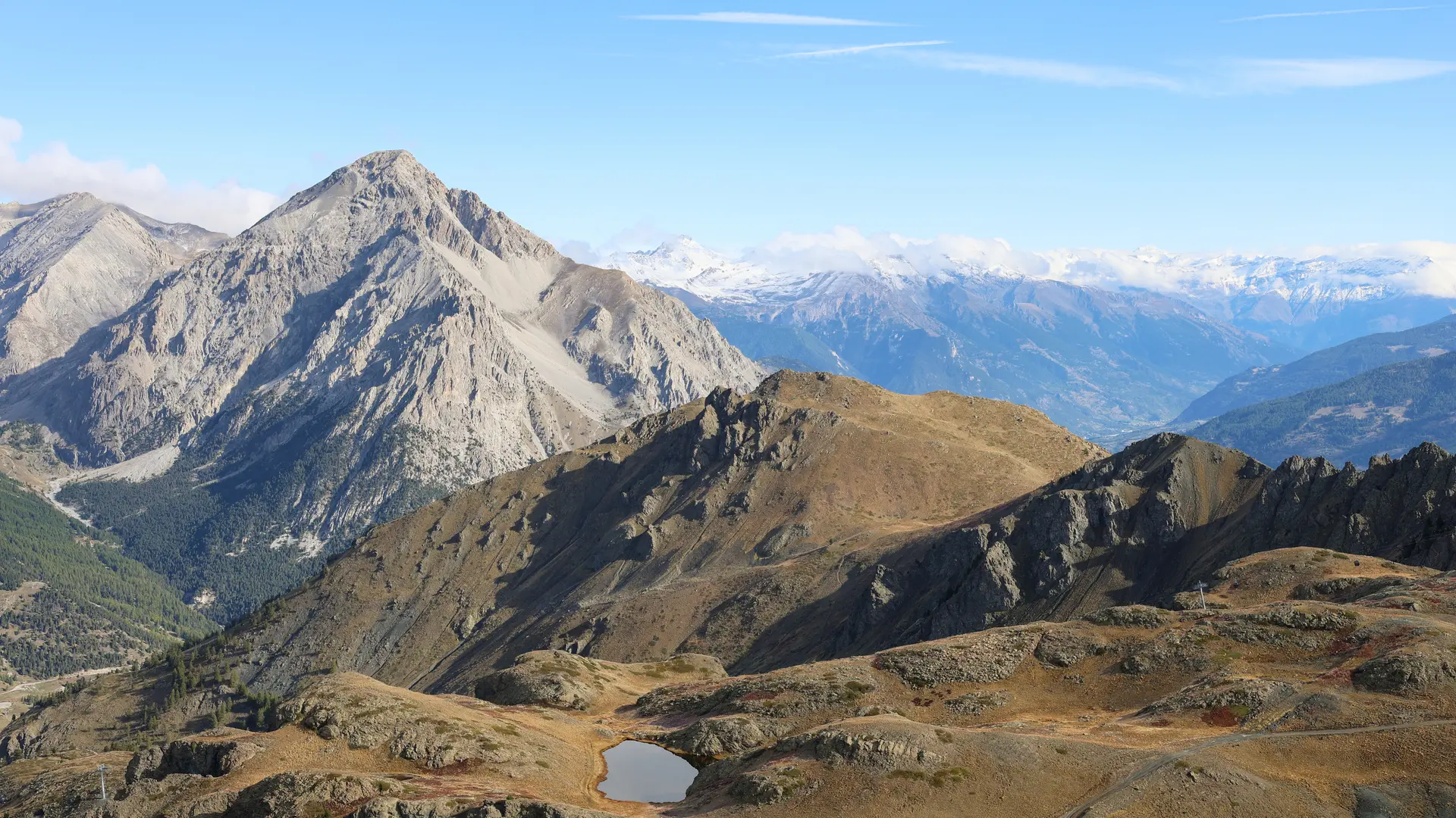
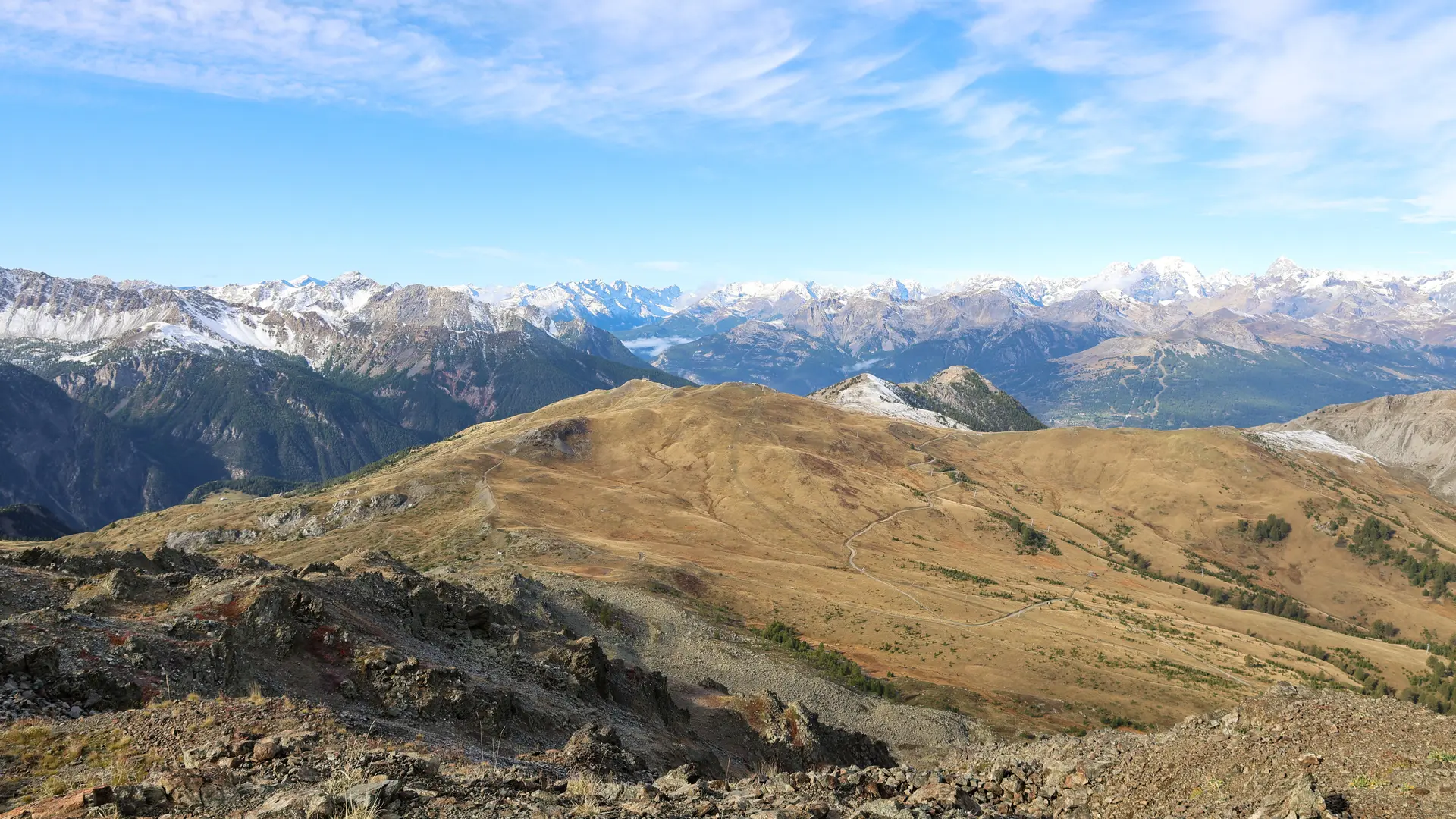
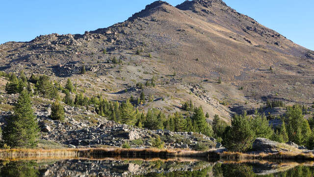
The view widens and the Montgenèvre ski resort can be seen below, with the Ecrins massif in the distance. The landscape becomes increasingly mineral. Continue climbing for around 1.3 kilometers to reach the summit of Chenaillet.
There are three orientation tables at the summit: to the south for the Queyras Massif, to the west for the Ecrins Massif and to the north for Montgenèvre and Chaberton.
Descend following the signs for Collet Vert to the east: there are steps and a handrail to facilitate this steep descent. At the Col du Souréou, take the right-hand path at the intersection (ignore the left-hand path to Collet Vert).
Continue downhill, ignoring the left-hand slope towards Lac Gignoux, passing the first lake on the right to reach Lac Noir. Once past Lac Noir, continue straight on towards Bergerie des Fraches. The path runs along the right bank of the torrent as far as the old Bergerie, then quickly reaches the Chalets de La Chau.
Enter the hamlet and take the wide driveway to reach the asphalt road and then the start parking lot.
The Chenaillet massif is an exceptional geological site.
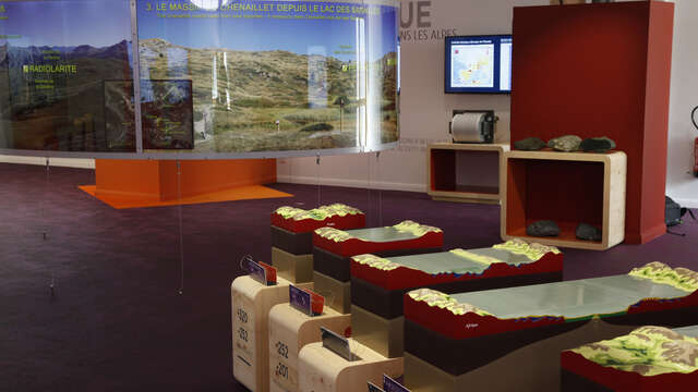
This thematic trail was created with the help of several authorities and the Centre Briançonnais de Géologie Alpine.
It is now frequented by many groups.
For occasional hikers, we advise you to start this hike very early to avoid groups.
Please follow the path's base and do not take shortcuts.
Do not take samples along the route.