See photos (4)

Circle of Lakes

Sport, Pedestrian sports, Course, Hiking itinerary in Allos
11.1 km
  • Discovery of the 4 glacial lakes in the heart of Mercantour national Park

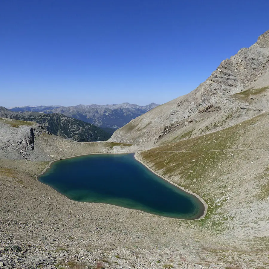
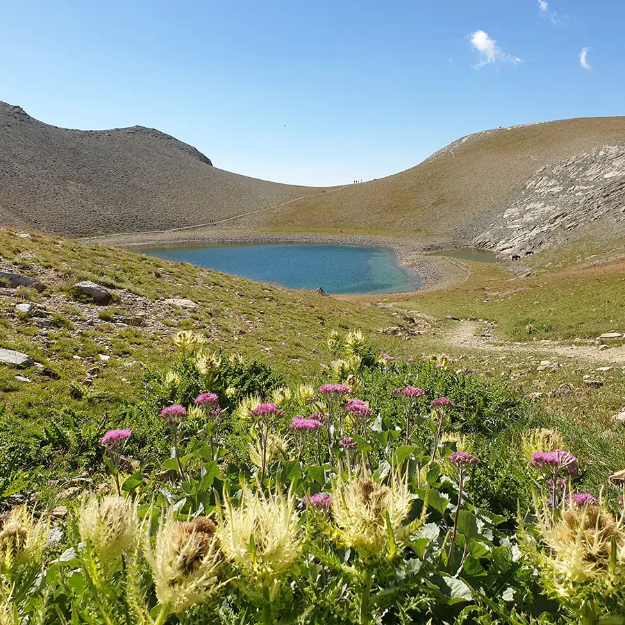
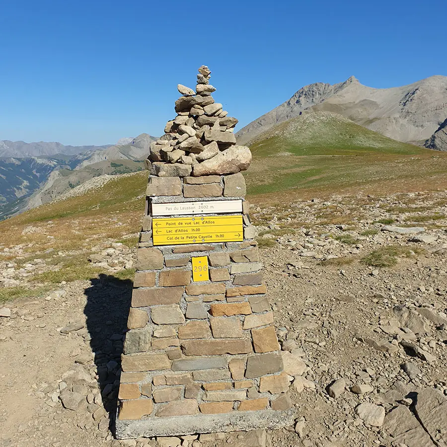
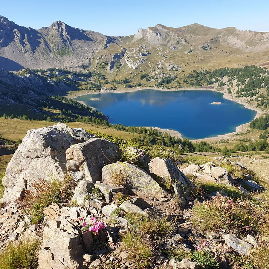
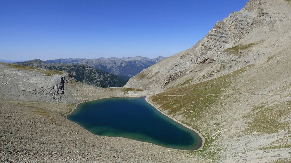
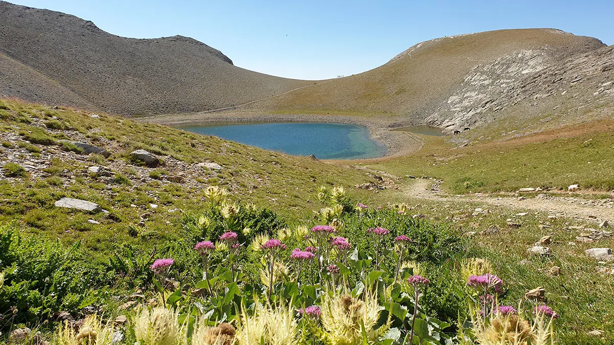
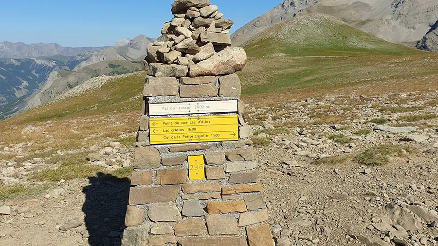
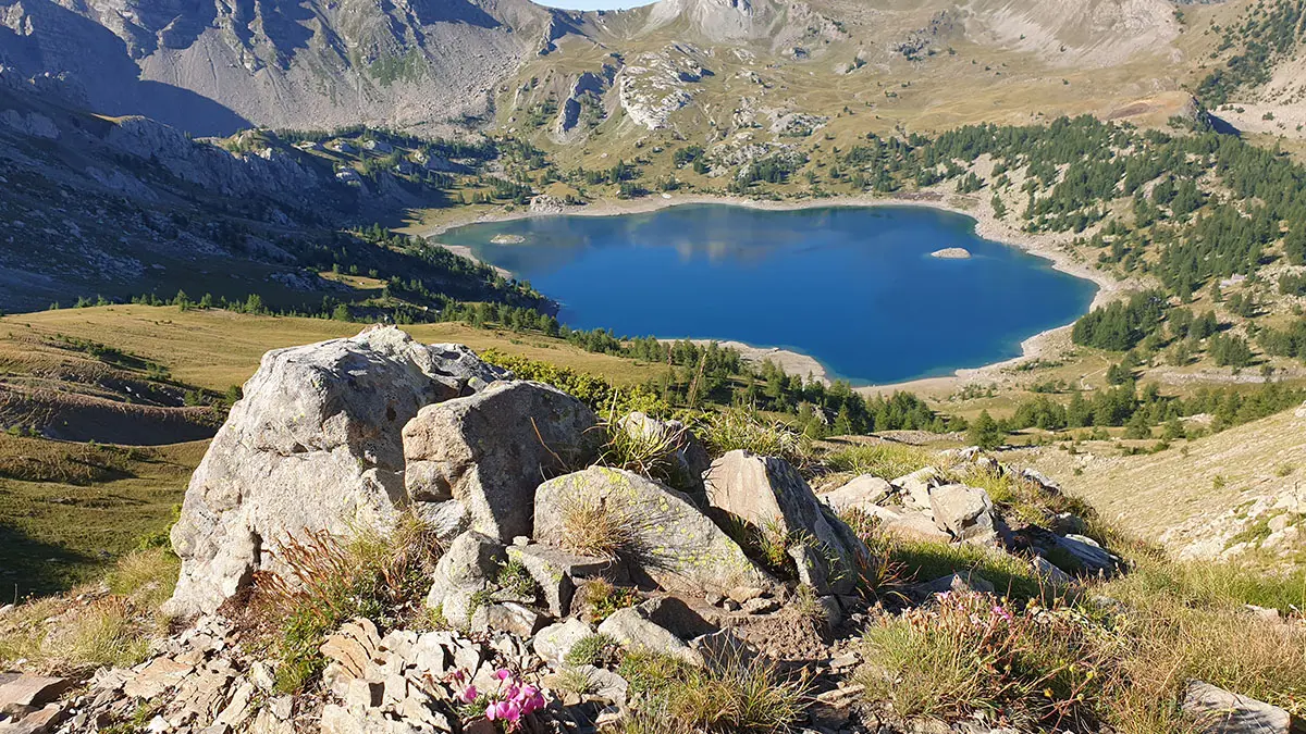
  • From the Laus car park (be careful with access), you will take the main path towards Lac allos, then take the direction of Col de le Petite Cayolle. You will discover his lake as well as the Garrets and Pas du Lausson. At the end of this loop you will have an openview on allos lake
  • Departure
    Allos
  • Difference in height
    597.333 m
  • Environment
    • Mountain location
  • Spoken languages
    • French
  • Documentation
    GPX / KML files allow you to export the trail of your hike to your GPS (or other navigation tool)
597 meters of difference in height
  • Maximum altitude : 2652 m
  • Minimum altitude : 2076 m
  • Total positive elevation : 597 m
  • Total negative elevation : -597 m
  • Max positive elevation : 320 m
  • Min positive elevation : -256 m