This route takes place in the former commune of Augès (now part of Peyruis). It offers a lovely viewpoint and allows you to discover rural buildings that bear witness to the agricultural past. Starting from the low pass about 6km from Peyruis, head towards Les Martrons.
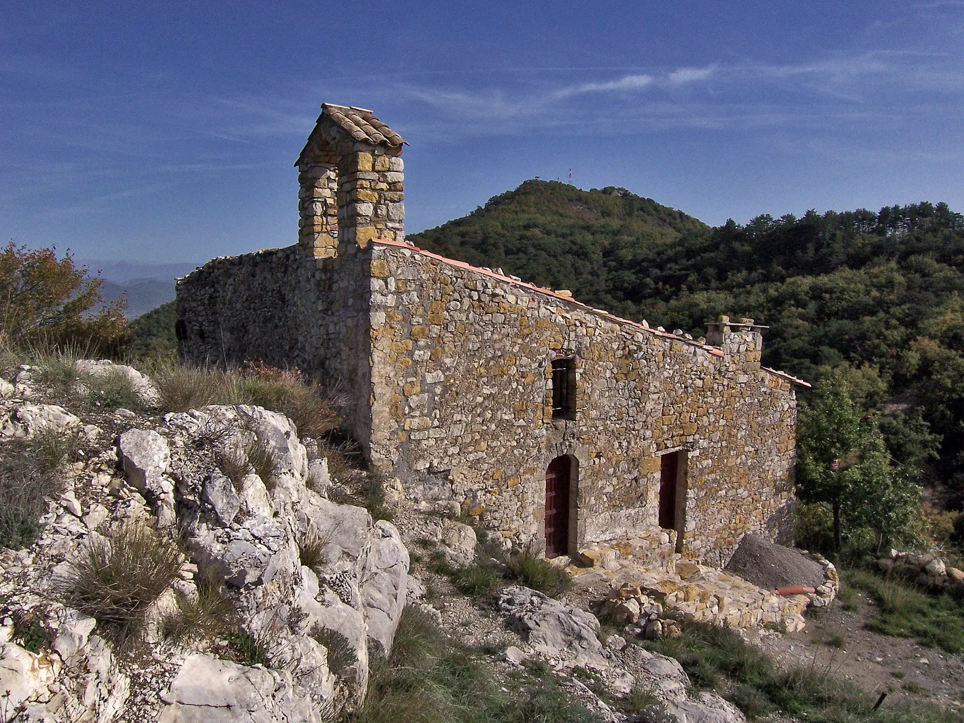
From the lower pass, walk through the oak and pine woods towards the chapel of Augès. When you reach a small pass, after 450m, look under the trees, on your left, for the old cemetery of the Commune where two tombs are still visible. A little further, at a second pass, you reach the foot of the chapel of Augès which you can easily reach to enjoy the remarkable view of Haute-Provence (note: the chapel and its access are private property). The return, barely longer, is made by passing the old ruined farm of Lioux where you can guess the agricultural past of these hills.