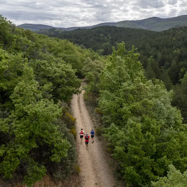
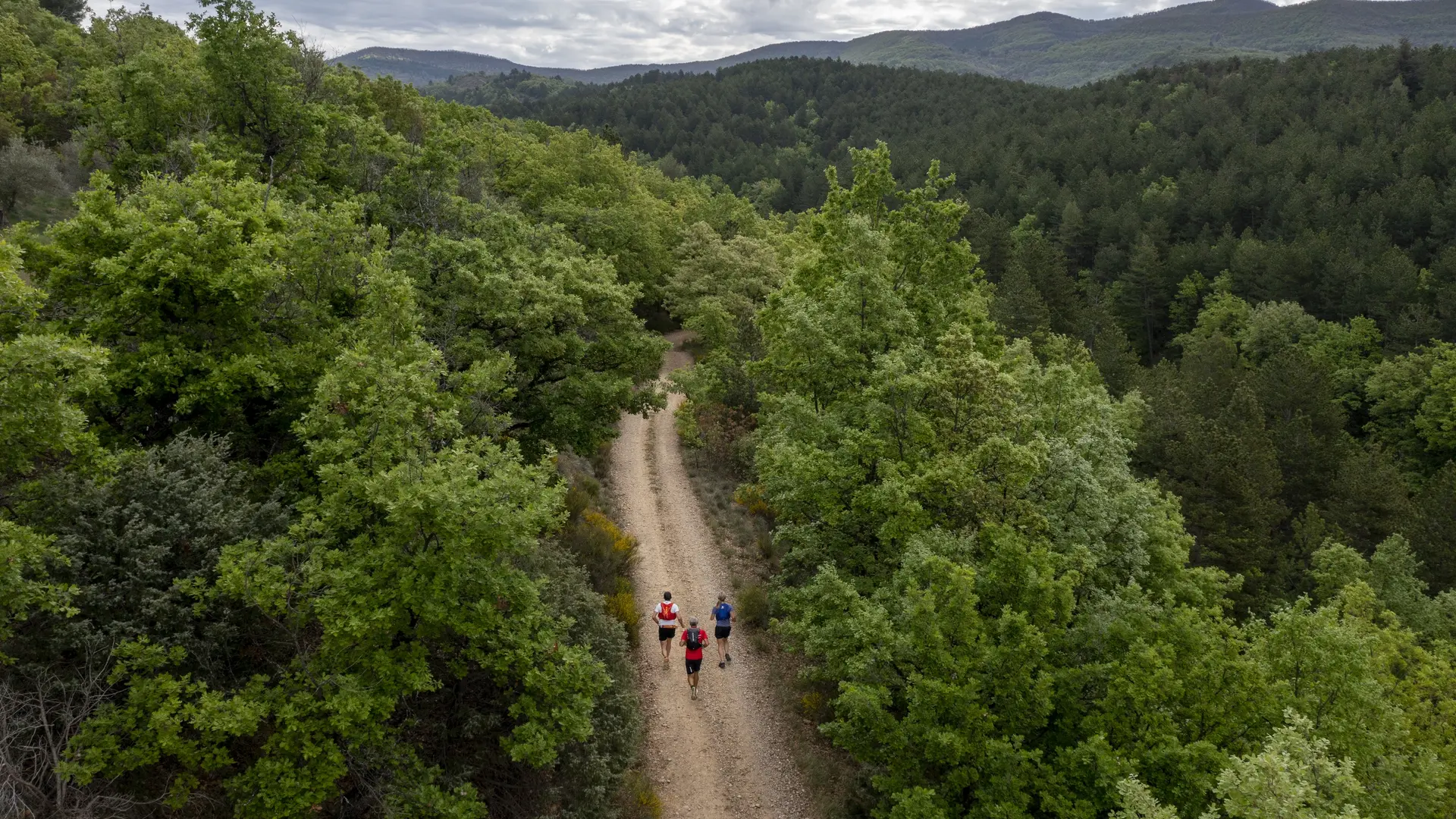
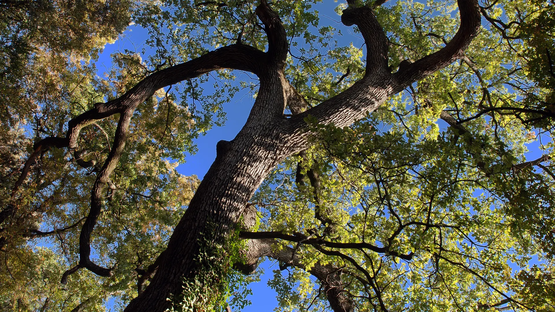
Departure from the stopover, in front of the primary school. The path crosses the village of l'Escale towards the hamlet of Girauds. From there, it follows the limit of the national forest by a steady slope. This pine forest offers an unexpected shelter for a fauna that is usually more mountainous. Arrived at the top, the route takes on the side, on your left, direction "Pourachère". The bravest can 250m further, head towards the summit of Pourachère on the right (30min). Otherwise, follow the path down to a crossroads of five tracks. From there, follow the direction of l'Escale. After 500m, the path descends into the forest and allows you to reach the village.
Read more