Le circuit des Bruyères Chateau-Arnoux

Circuit des Bruyères

Sport, Pedestrian sports, Hiking itinerary in Château-Arnoux-Saint-Auban
5.5 km
2h
Medium
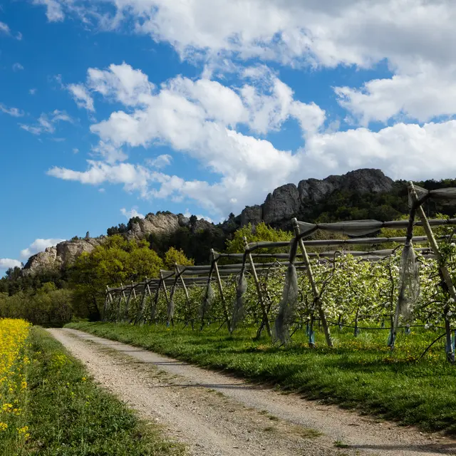
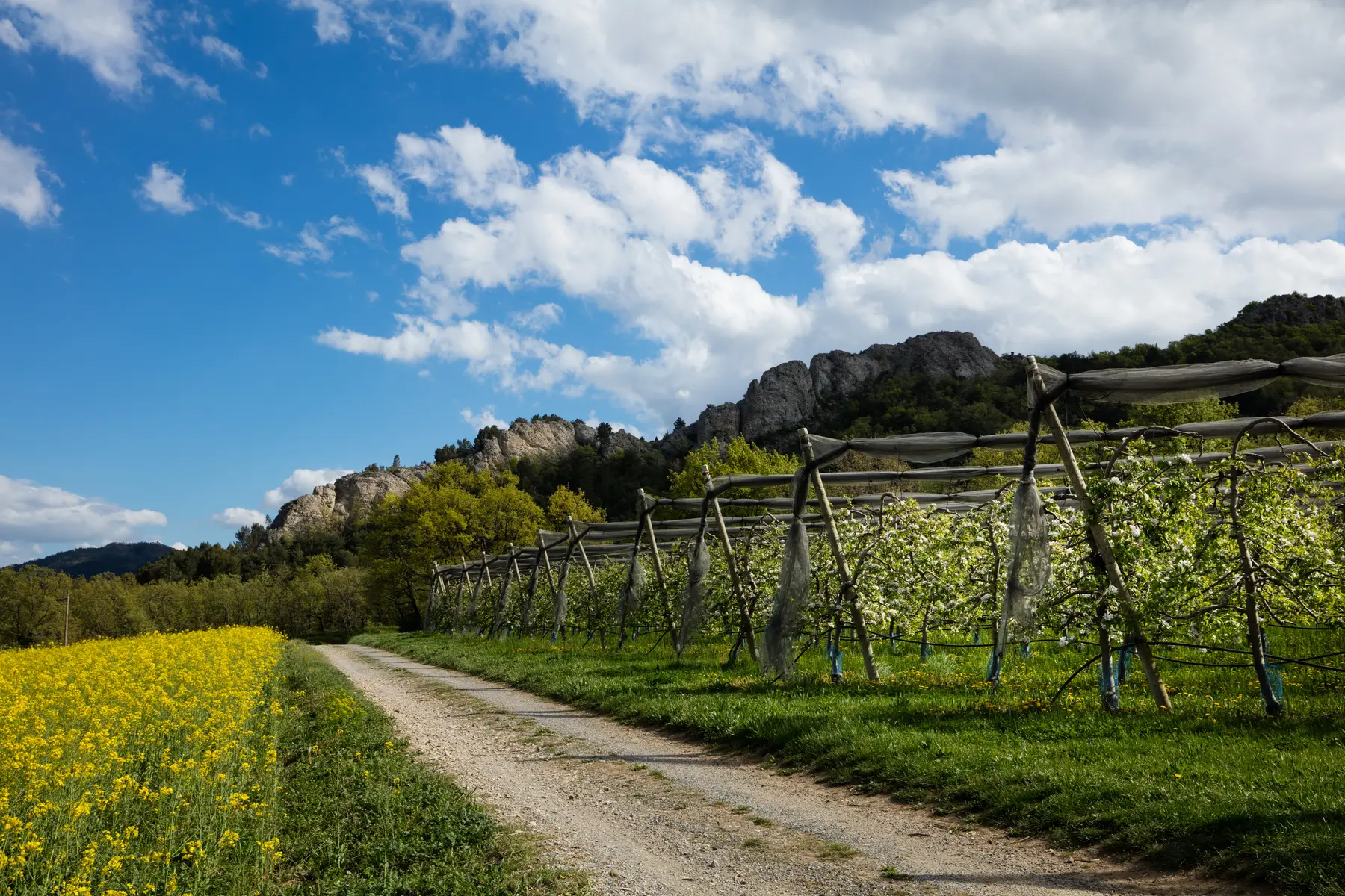
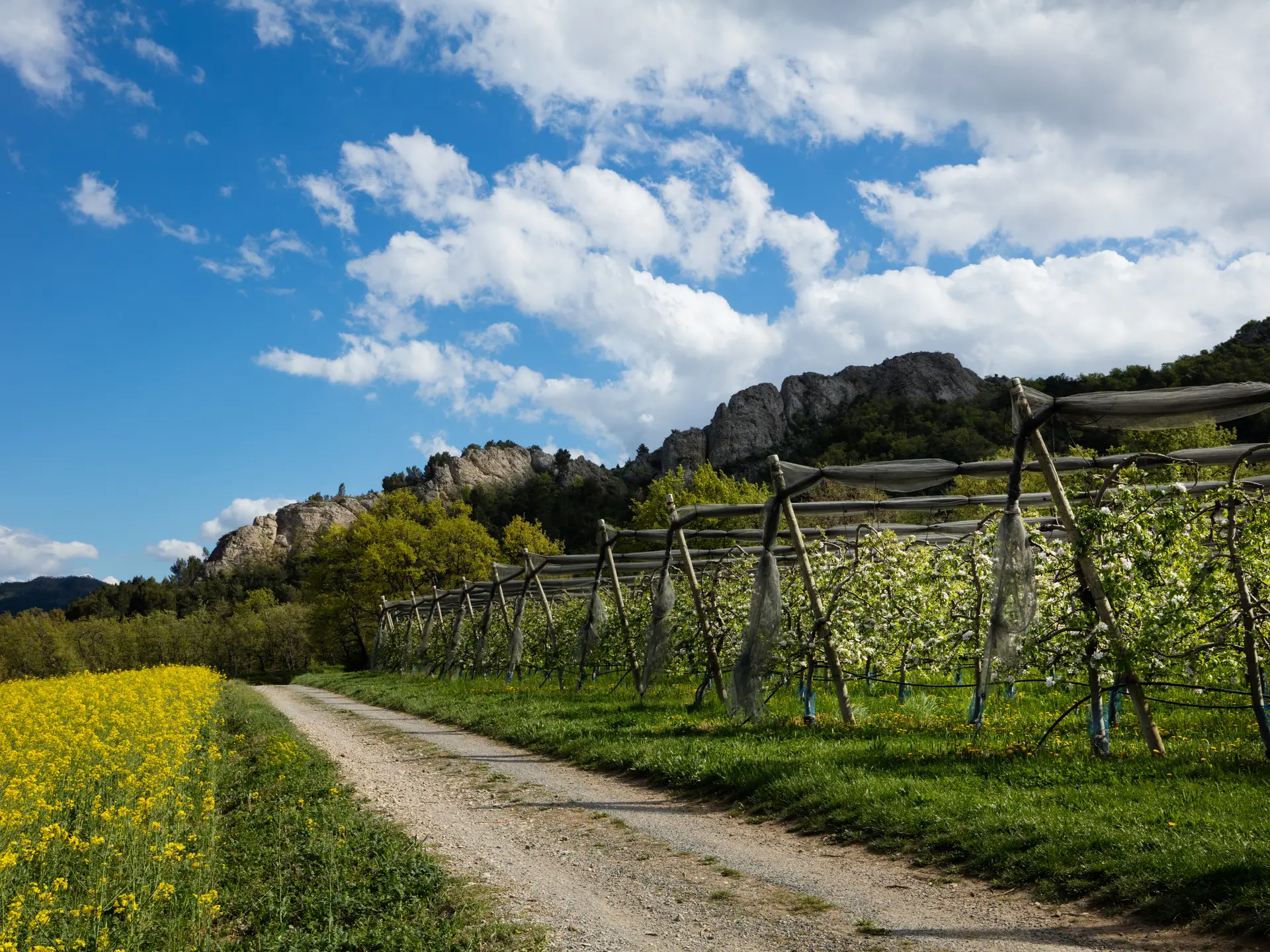
  • This circuit without any real difficulty, ideal for a family nature outing, will guide you through a dense plant environment, in which white oak and tree heather dominate.

  • Departure from Chateau-Arnoux at the place called "des 2 ponts" located on the access track to Châteauneuf Val St Donat. From the 2 bridges, a track takes you to the large hills. Continue along this ridge line towards Aubignosc. About 20 minutes later the path crosses a high-voltage line and takes its path on your right through an area cleared by successive logging operations. You then join a beautiful track and finally a path that will take you back to the 2 bridges.
  • Departure
    Château-Arnoux-Saint-Auban
  • Difference in height
    183.333 m
  • Environment
    • In the country
    • Forest location
  • Spoken languages
    • French
  • Documentation
    GPX / KML files allow you to export the trail of your hike to your GPS (or other navigation tool)
  • Accepted customers
    • Level bue - Medium
183 meters of difference in height
  • Maximum altitude : 725 m
  • Minimum altitude : 533 m
  • Total positive elevation : 183 m
  • Total negative elevation : -183 m
  • Max positive elevation : 93 m
  • Min positive elevation : -2 m
Services
  • Equipment
    • Free car park
    • Car park
    • Public WC
    • Picnic area