Circuit du Château_Seyne

Circuit du Château

Sport, Pedestrian sports, Hiking itinerary in Seyne
11.9 km
5h
Hard
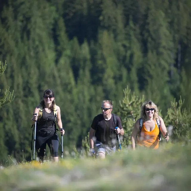
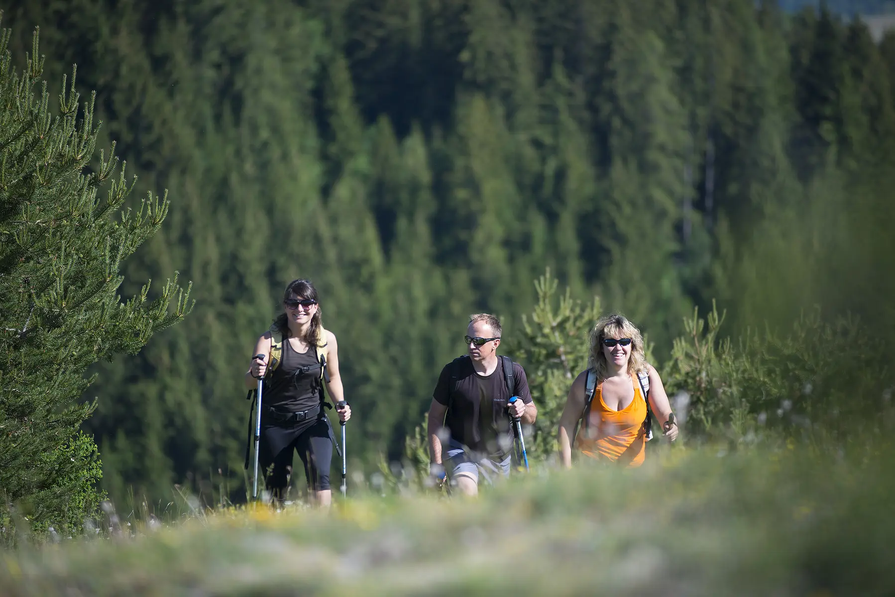
  • Discover the foothills of the Blanche and its national forest with numerous viewpoints over the Blanche range.

  • Road access to the Bellevue Forestry House, from Seyne-les-Alpes (6 km) take the D207 towards Montclar then the D607 to Saint-Pons where you follow the Col-Bas forestry track (open from May to October). Parking at the crossroads of the road and tracks near the forest house.
  • Departure
    Seyne
  • Difference in height
    608.615 m
  • Environment
    • Mountain view
    • Panoramic view
    • Forest location
    • In the country
  • Spoken languages
    • French
  • Documentation
    GPX / KML files allow you to export the trail of your hike to your GPS (or other navigation tool)
  • Accepted customers
    • Level red – hard
609 meters of difference in height
  • Maximum altitude : 1826 m
  • Minimum altitude : 1340 m
  • Total positive elevation : 609 m
  • Total negative elevation : -616 m
  • Max positive elevation : 153 m
  • Min positive elevation : -450 m
Services
  • Accessibility
    • Not accessible in a wheelchair
  • Equipment
    • Free car park
    • Car park
    • Play area
    • Picnic area
  • Services
    • Pets welcome
    • Motorhomes allowed