See photos (2)

Circuit patrimoine de Bagnols-en-foret

Sport, Pedestrian sports, Course, Hiking itinerary in Bagnols-en-Forêt
1.3 km
1h
Easy
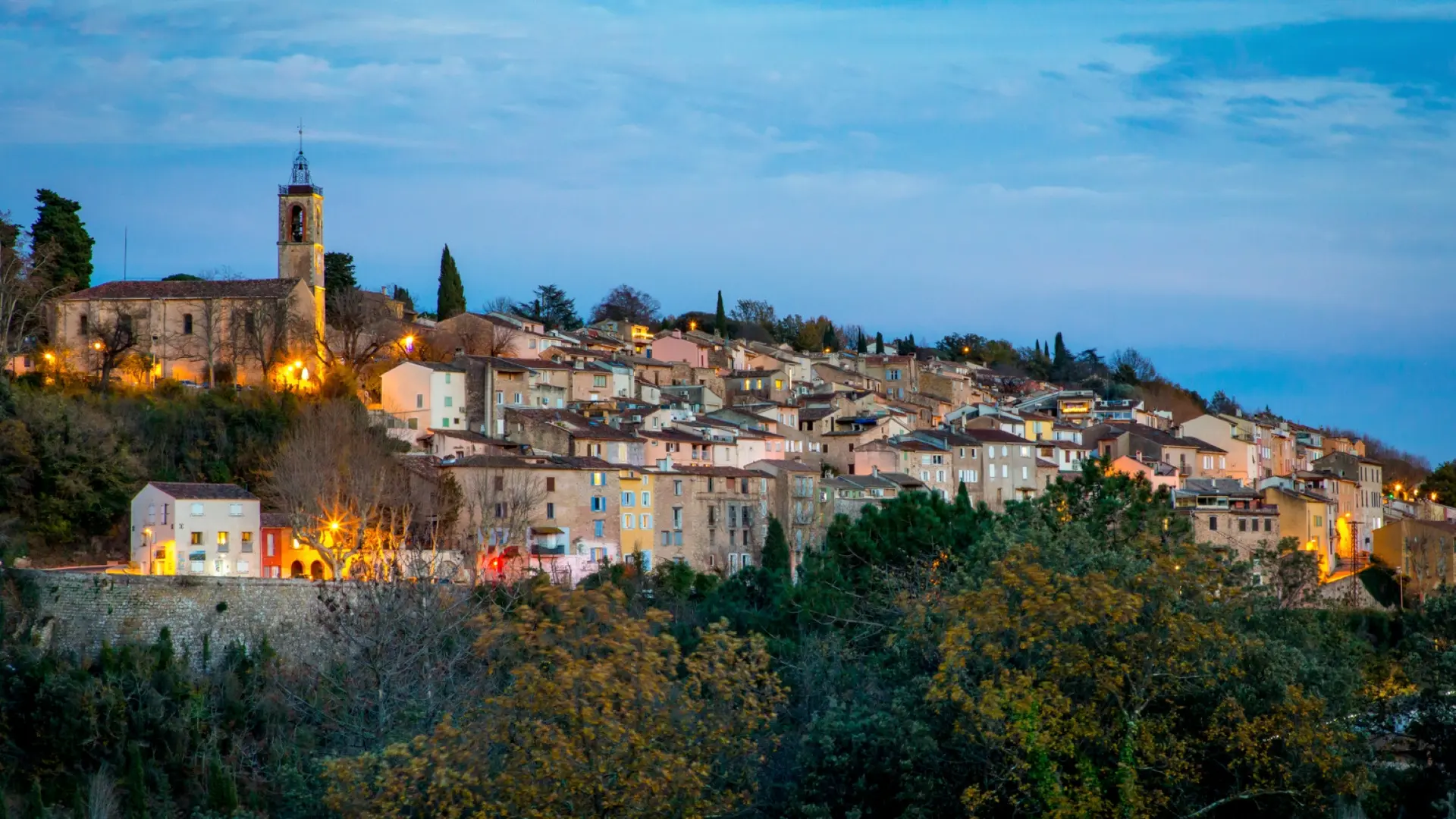
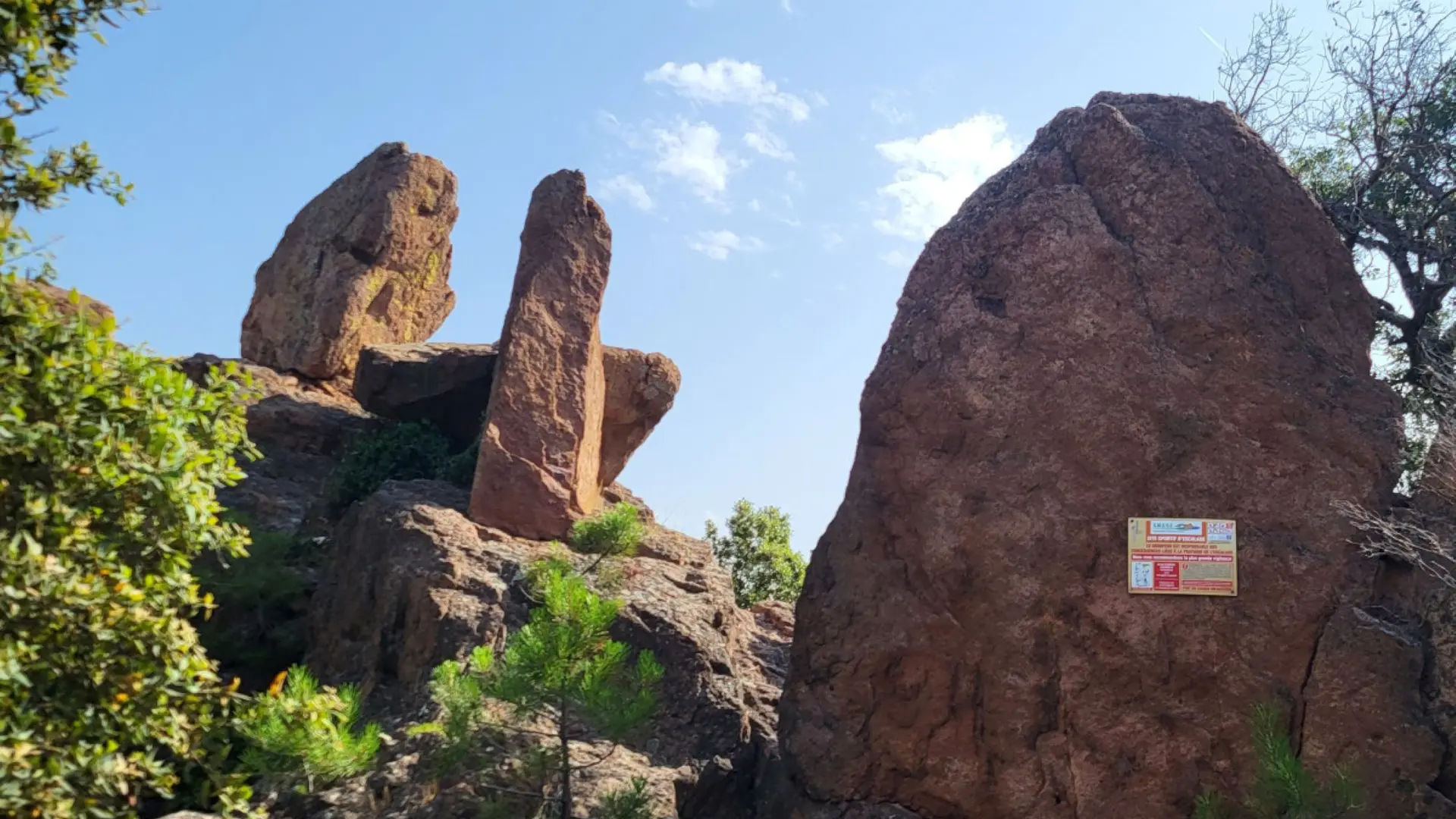
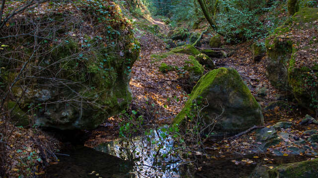
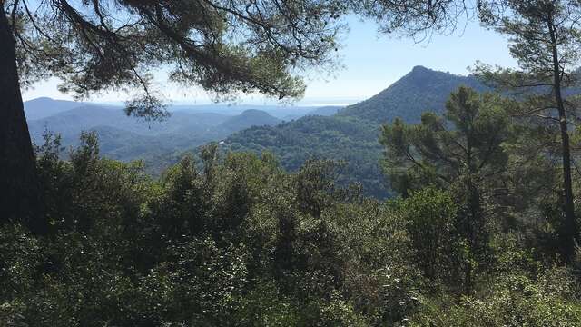
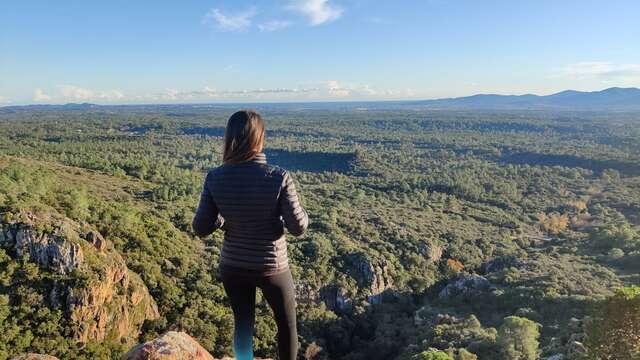
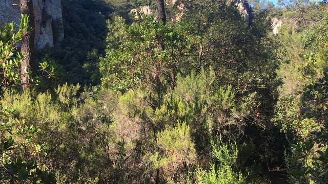
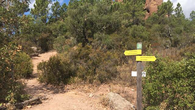
  • At the crossroads of the ancient Via Aurelia, Bagnols-en-Forêt, backed by the foothills of the Esterel, refreshed by the sea breeze that crosses the Pierre du Coucou pass, regales you with majestic views, from the Gorges du Blavet to the Pic de la Gardiette.

  • Departure
    Bagnols-en-Forêt
  • Difference in height
    50.3333 m
  • Plain text period
    All year round.
  • Environment
    • Panoramic view
    • Village centre
  • Spoken languages
    • French
  • Documentation
    GPX / KML files allow you to export the trail of your hike to your GPS (or other navigation tool)
  • Accepted customers
    • Level green – easy
50 meters of difference in height
  • Maximum altitude : 307 m
  • Minimum altitude : 250 m
  • Total positive elevation : 50 m
  • Total negative elevation : -50 m
  • Max positive elevation : 43 m
  • Min positive elevation : -26 m
Services
  • Equipment
    • Free car park
    • Car park
    • Public WC
  • Services
    • Pets welcome
    • Restaurant