See photos (4)

Circuit patrimoine de Fayence

Sport, Pedestrian sports, Course, Hiking itinerary in Fayence
Unresolved hours
1.2 km
1h
Very easy
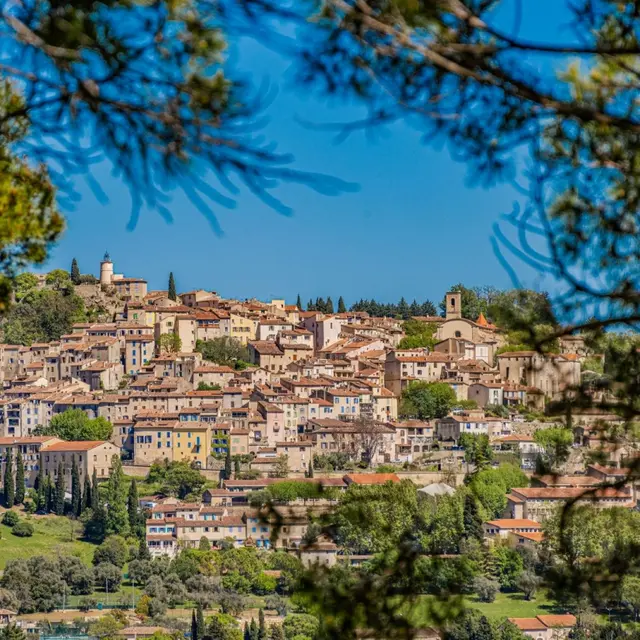
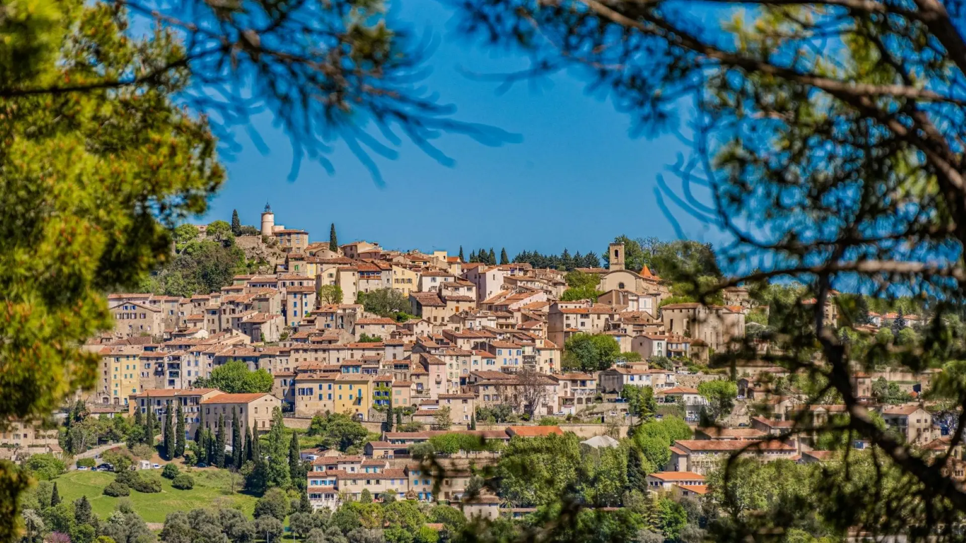
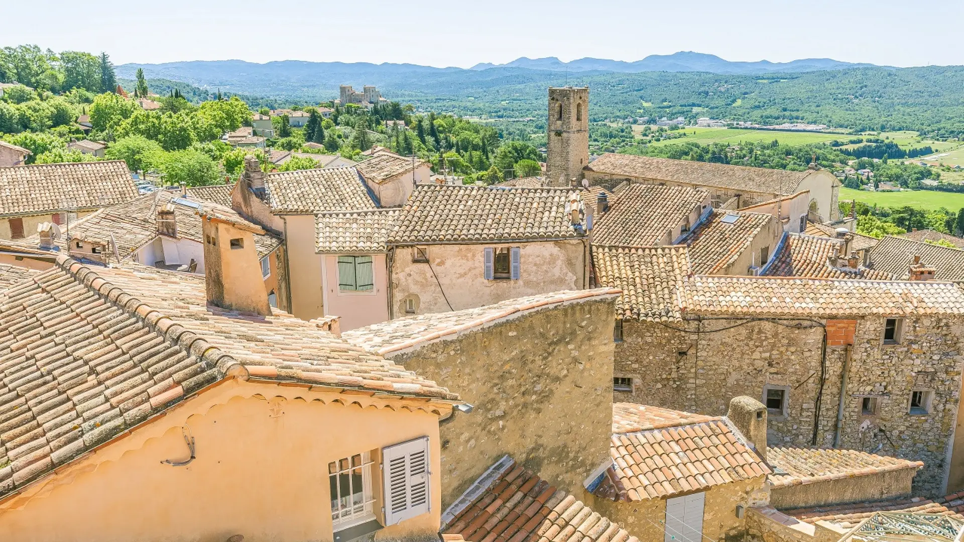
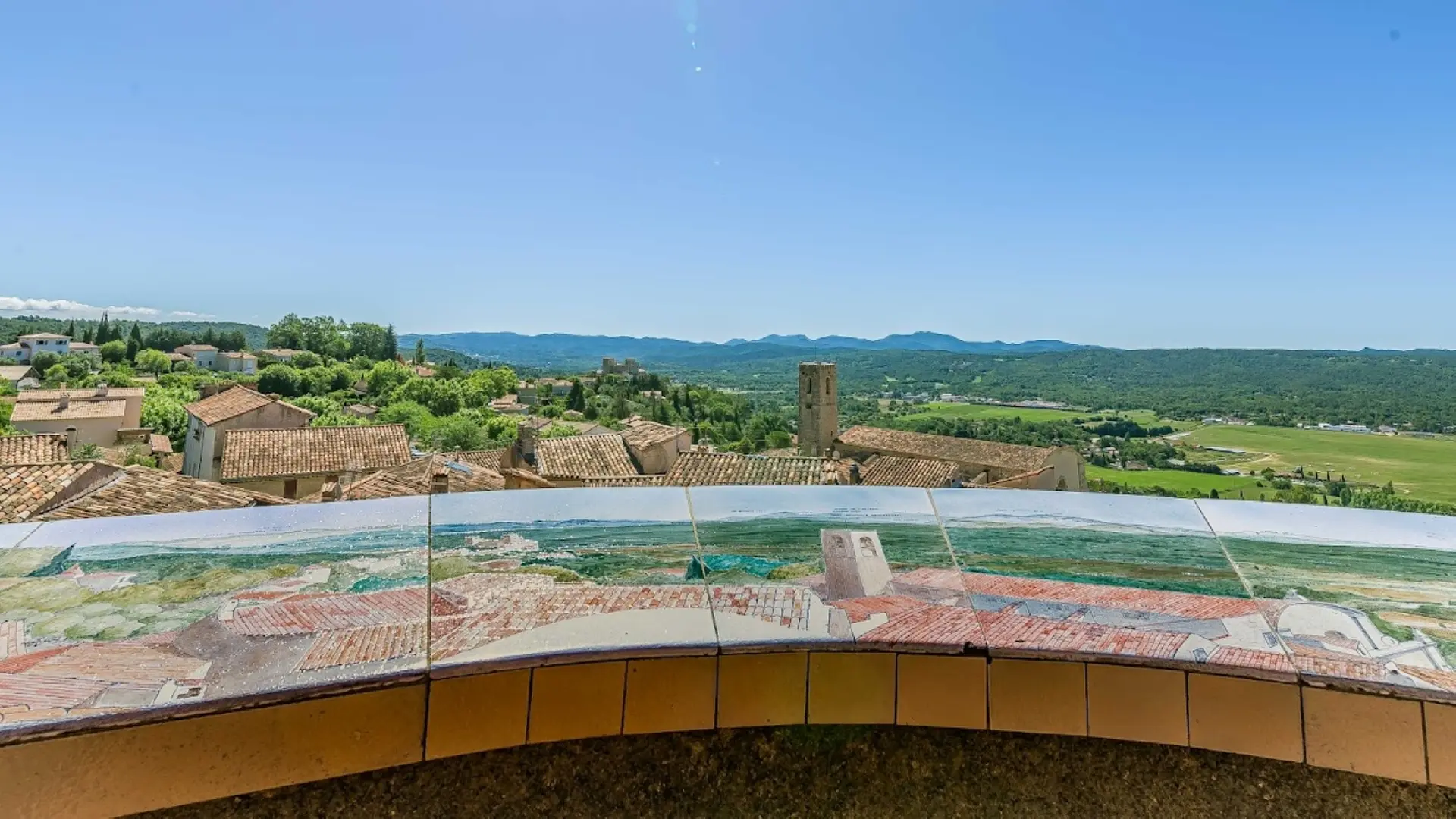
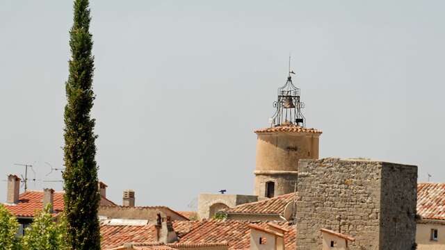
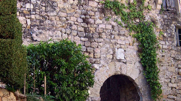
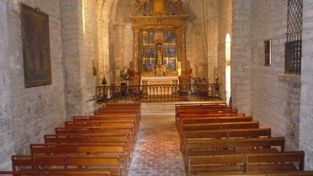
  • Fayence, land of flight
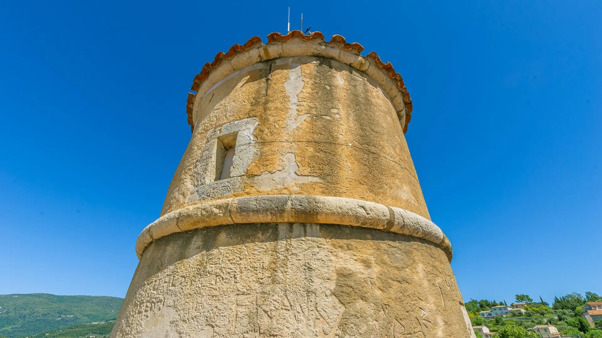
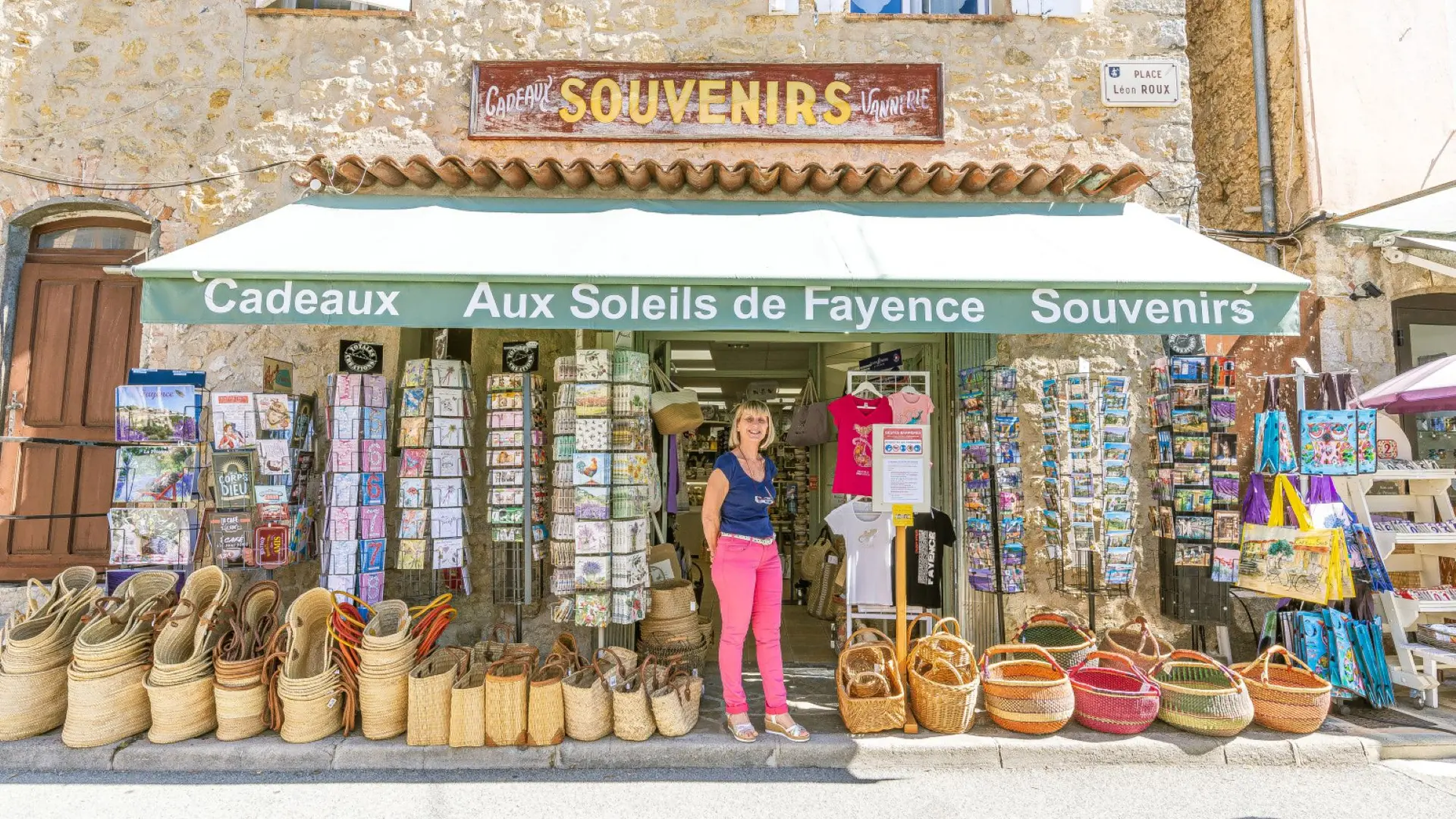
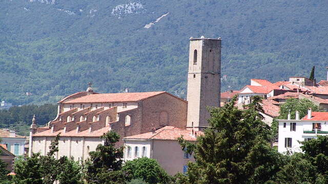
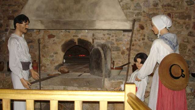
    Set against a backdrop of rolling green hills, Fayence, an attractive tourist town, is a queen in her own country. With its historic Sarazine gateway and its "four du mitan" oven, Fayence is also a land of soaring records and high-flying medals.

  • Departure
    Fayence
  • Difference in height
    46.3333 m
  • Plain text period
    All year round.
  • Environment
    • Village centre
    • Panoramic view
  • Spoken languages
    • French
  • Documentation
    GPX / KML files allow you to export the trail of your hike to your GPS (or other navigation tool)
46 meters of difference in height
Created with Highcharts 6.2.0Distance (km)Altitude (m)0 km0.1 km0.2 km0.3 km0.4 km0.5 km0.6 km0.7 km0.8 km0.9 km1 km1.1 km340 m345 m350 m355 m360 m365 m370 m375 mHighcharts.com
  • Maximum altitude : 371 m
  • Minimum altitude : 342 m
  • Total positive elevation : 46 m
  • Total negative elevation : -46 m
  • Max positive elevation : 20 m
  • Min positive elevation : -25 m
Services
  • Equipment
    • Public WC
    • Car park
    • Free car park
  • Services
    • Pets welcome
    • Restaurant