See photos (2)

Circuit patrimoine de Montauroux

Sport, Pedestrian sports, Course, Hiking itinerary in Montauroux
Unresolved hours
2.6 km
1h 30min
Very easy
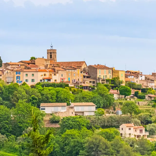
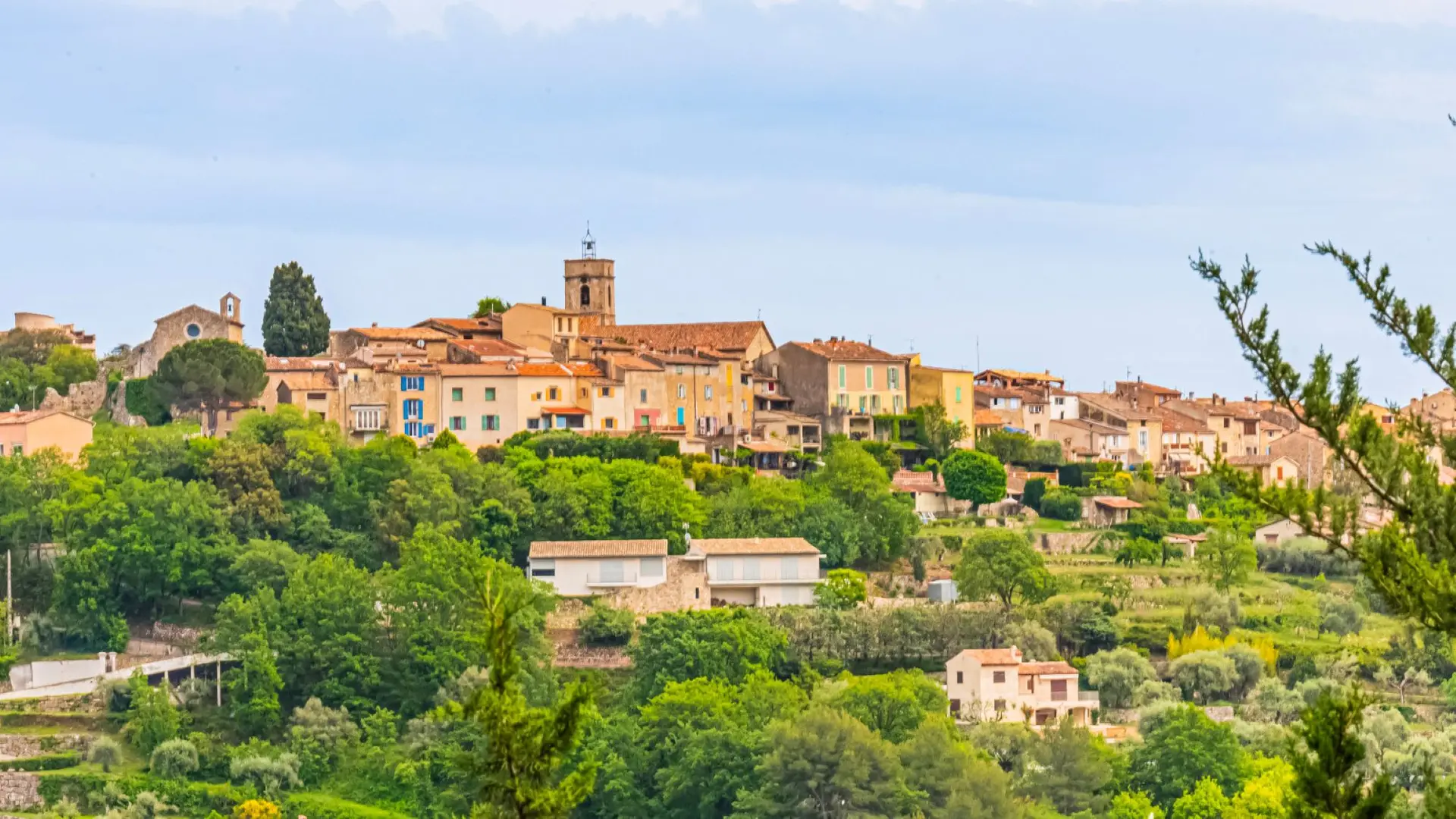
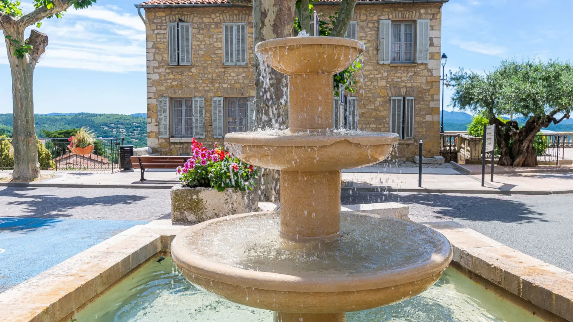
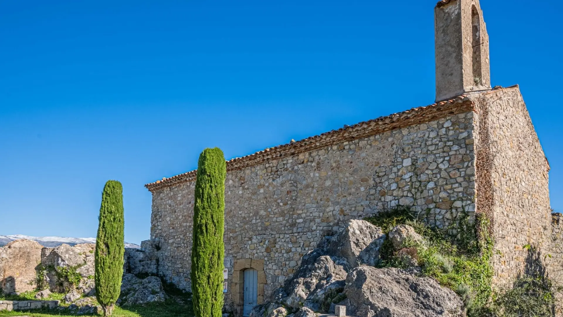
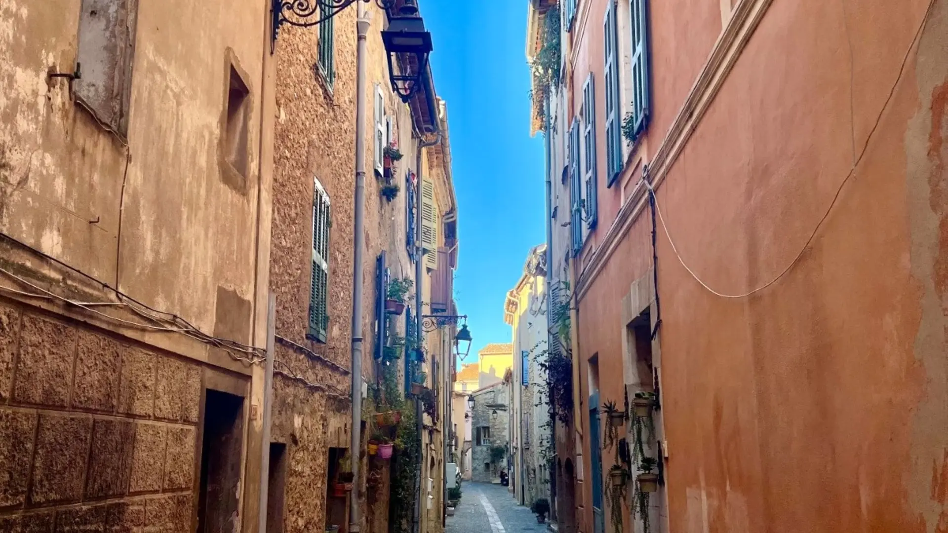
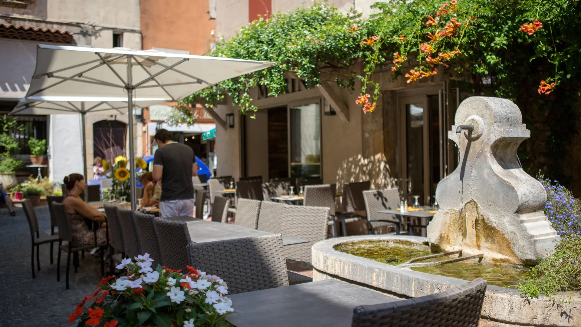
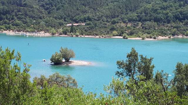
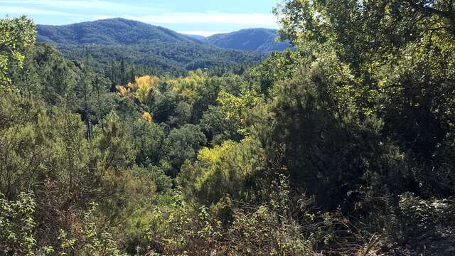
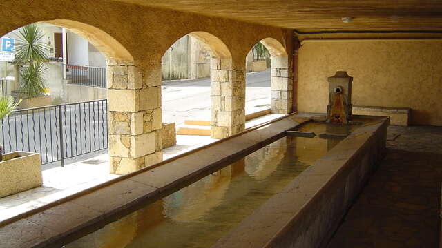
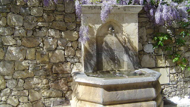
  • Founded in 1044 at the foot of a medieval pilgrimage route to Compostela, Montauroux, jewel of the eastern Var region, rustles with the murmur of Subrane's fountains and the confidences of Maya's washhouses, enchanting you with a mosaic of classified biodiversity.

  • Departure
    Montauroux
  • Difference in height
    54 m
  • Plain text period
    All year round.
  • Environment
    • Village centre
    • Panoramic view
  • Spoken languages
    • French
  • Documentation
    GPX / KML files allow you to export the trail of your hike to your GPS (or other navigation tool)
54 meters of difference in height
Created with Highcharts 6.2.0Distance (km)Altitude (m)0 km0.2 km0.4 km0.6 km0.8 km1 km1.2 km1.4 km1.6 km1.8 km2 km2.2 km2.4 km330 m340 m350 m360 m370 m380 m390 mHighcharts.com
  • Maximum altitude : 379 m
  • Minimum altitude : 340 m
  • Total positive elevation : 54 m
  • Total negative elevation : -54 m
  • Max positive elevation : 21 m
  • Min positive elevation : -19 m
Services
  • Equipment
    • Public WC
    • Car park
    • Free car park
  • Services
    • Pets welcome
    • Restaurant