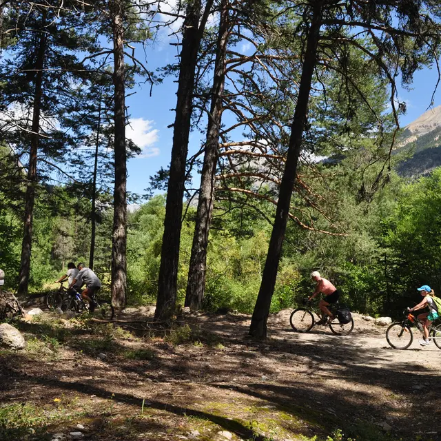
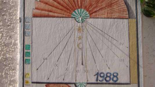
1- Departure from La Vachette :
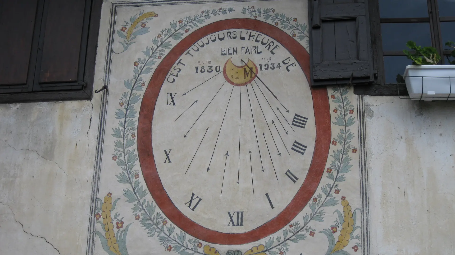
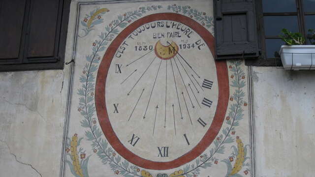
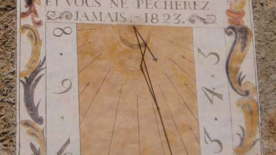
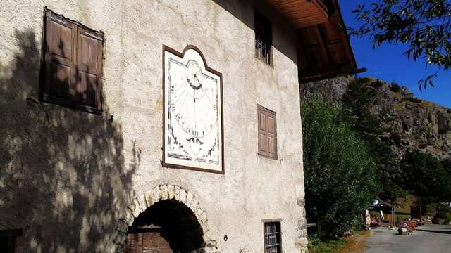
From the parking lot at the entrance to the hamlet of La Vachette, head towards the church of Notre-Dame de l'Annonciation, then fork gently to the right. On the façade of the 3rd house on your left, the first Zarbula sundial (A) is revealed.
2- Reach the hamlet of Les Alberts :
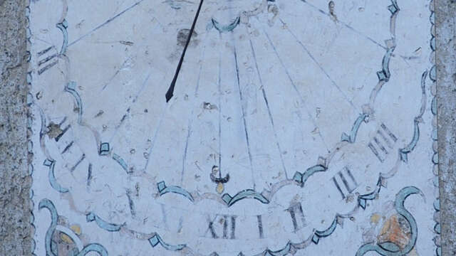
At the little crossroads by the fountain, don't miss the second sundial in front of you, before taking the small alley on your left towards the "chemin des noisette": a small carriage road that runs alongside the river and reaches the hamlet of Les Alberts.
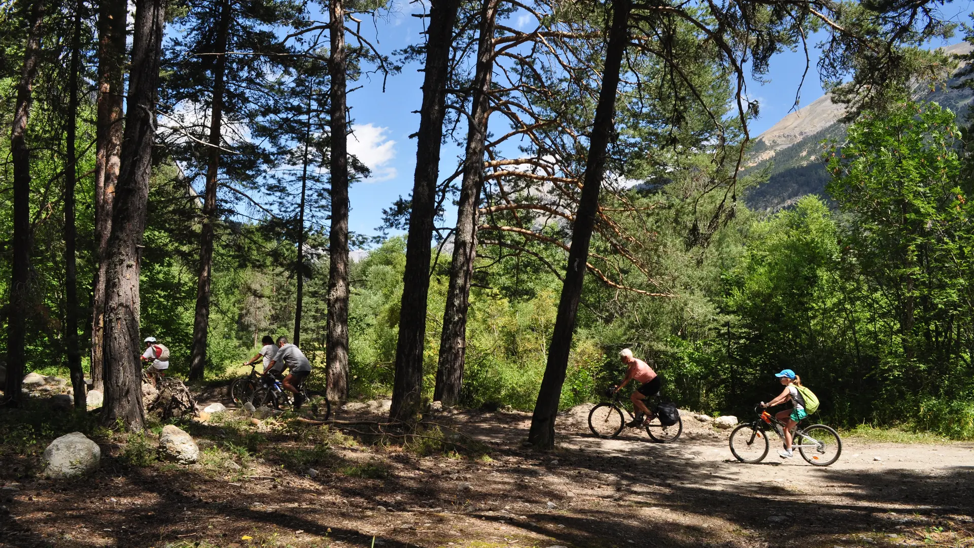
3- A short tour of the hamlet of Les Alberts :
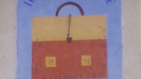
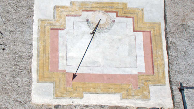
When you reach the hamlet of Les Alberts, pass the chicane and take the small alley on the right, "rue de la forge", in the direction of the gîte "Maison Amalka", to reach the blue house and its sundial dedicated to the owner's trade. Then retrace your steps to get back on the little road and head up Rue des Granges: a remarkable string of traditional houses with wide porches and courtyards and their small gardens. Don't miss the sundial (D) before turning left to return to the church square.
4- Reaching the Rosier hamlet from Les Alberts
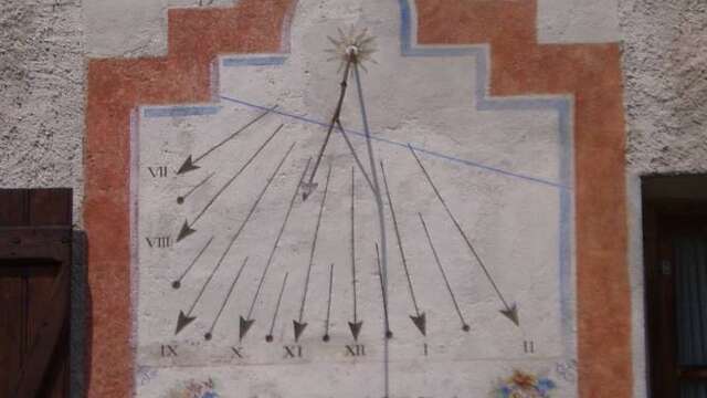
After passing the fountain and sundial at Maison Kovacic, the road leads to a small parking lot: turn right into the ruelle des Arbennes (a dead-end street).
5- From Alberts to Rosier :
A few metres after entering the cul-de-sac, fork left to reach a small dead-end parking lot, to join the dirt track overhanging the parking lot: a short, steady climb is in order. Continue along this little path until you reach the bridge over the hamlet of Rosier and the Huttopia campsite parking lot.
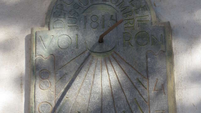
6- From Rosier to Val-des-Prés
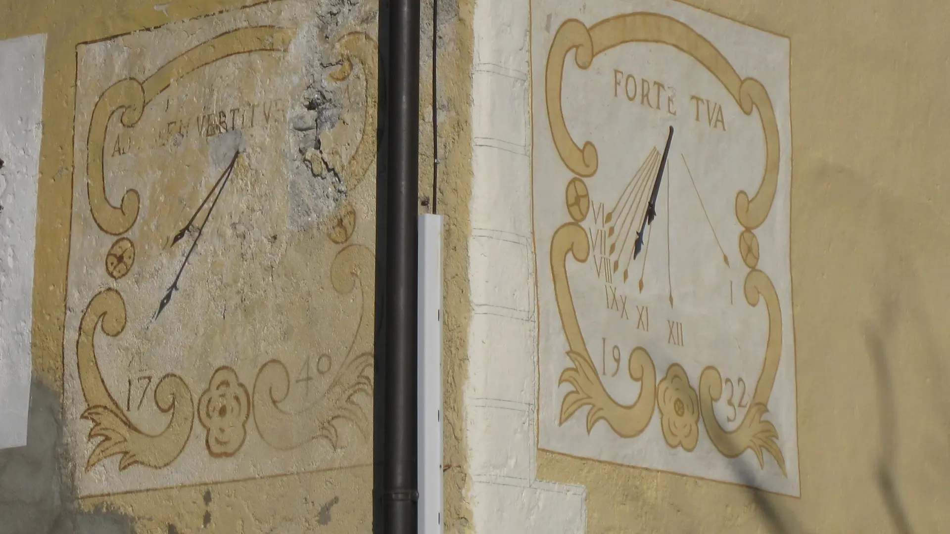
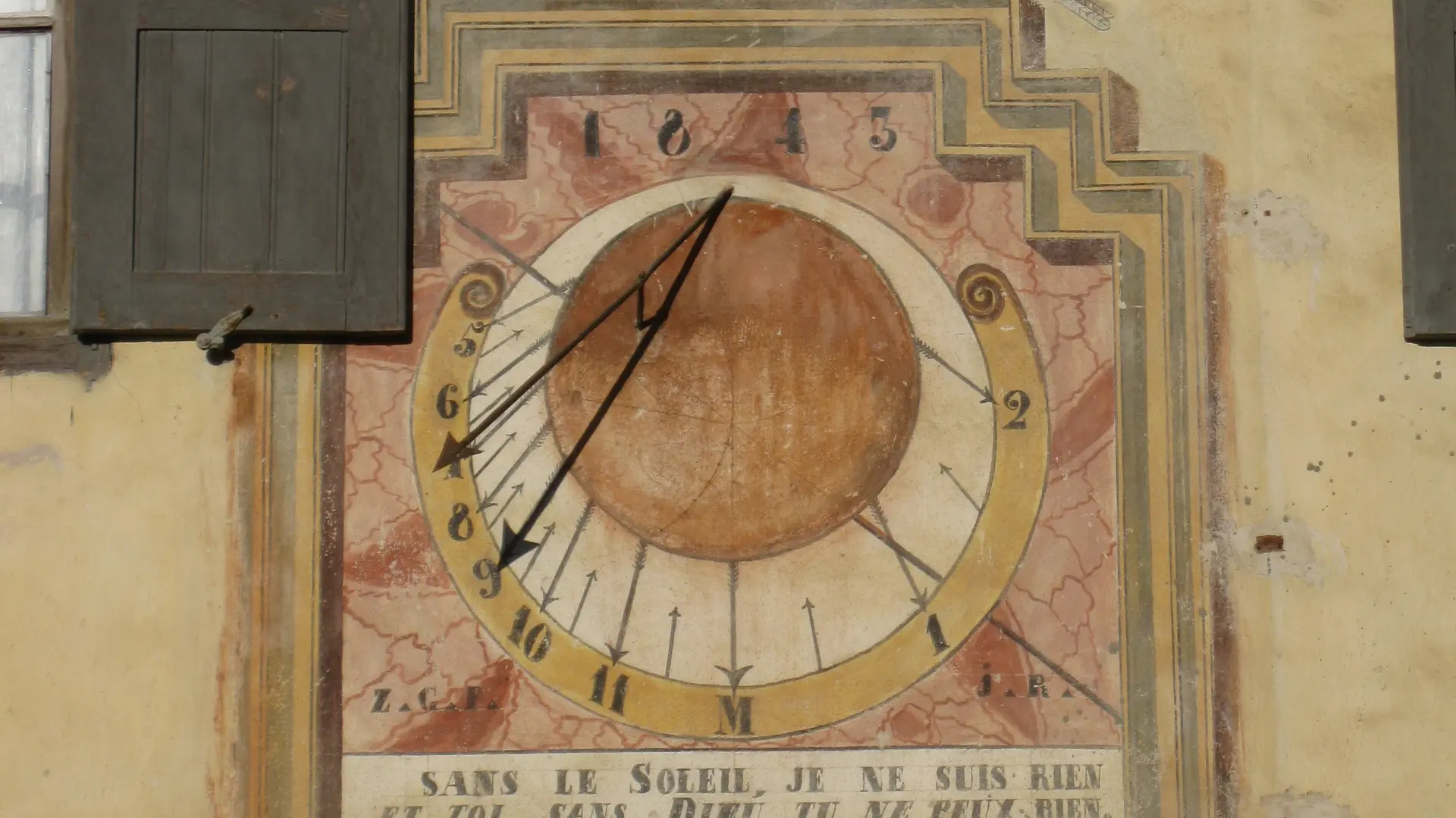
Your route continues on a track along the river: on the right just before the bridge opposite the Huttopia campsite. But first, don't miss the green marble Voiron sundial: it's located above the front door of one of the houses just beyond the bridge.
7- Left bank from Val-des-Prés to La Draye
The trail leads to the Val-des-Prés "Chef-Lieu" bread oven. Cross the bridge to reach the town hall and its sundial, then return to the bridge to continue along the track that runs alongside the Four à Pain and the river.
Ignore the small path on the left and continue along the track, which rises steadily in an S-shape: the track then narrows on the left to descend through the fields.
8- Pont de la Draye :
The dirt track here leads to the départementale and the Pont de la Draye bridge: cross the bridge to take the small asphalt road on the right, which rises towards the last houses in Val-des-Prés. Continue on the asphalt track until it becomes a small gravel road: this then winds through fields and forests along the river towards the hamlet of Plampinet.
9- From La Draye to Plampinet :
Ignore the left-hand track towards Col du Granon and continue straight on.
10- To Plampinet :
Arriving at the Plampinet bridge: ignore the small path on the left before the bridge; this path also joins the hamlet but may appear a little more technical than the main track. Cross the bridge and continue along the route until you cross a second bridge and enter the hamlet of Plampinet.
11- The hamlet of Plampinet :
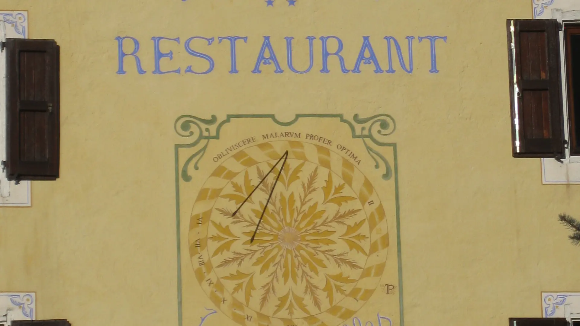
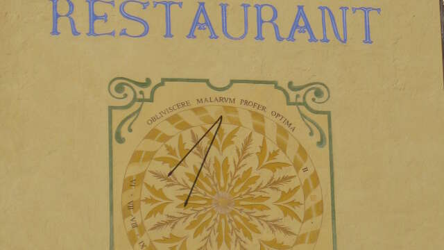
Here, the track joins the main road. Turn right to discover the hamlet, the church of Saint Sébastien and its sundials, before returning to the bridge.
12 - Leaving Plampinet for Névache
Continue past the Plampinet bridge for a few meters, then leave the road for the stony track on the left: this rises gradually to reach the Névache plain via the Pont des Armands.
13 - Crossing the hamlets of Roubion and Sallé
After crossing the Pont des Armands bridge, you come to the small wastewater treatment plant and then the Camping de la Lame: don't join the asphalt road, preferring to follow the track along the river: this follows the bridge over the Torrent du Roubion, then crosses the campsite. At the entrance to the campsite, marked by the sanitary facilities, cross the main road to reach the hamlet of Roubion.
14 - Hameau de Sallé :
Go to the top of the Roubion hamlet, passing the Italian restaurant La Coccinella and the grocery store, then turn left near the Chocolaterie. Continue until you reach Rue de Sallé: this gradually descends along the traditional houses of Névache, before finally joining the main road.
15 - From Ville-Basse to Ville-Haute :
Continue on the departmental road past the Bistrot de Pays Au Bon Coin, then at the small traffic circle, take the pedestrian lane on the right of the Ville-Basse hamlet, cross the hamlet and continue to Ville-Haute.
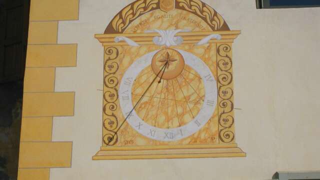
16- Ville Haute hamlet :
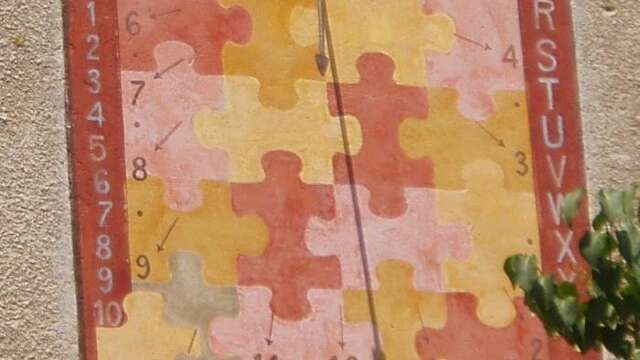
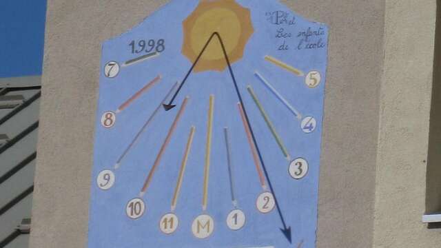
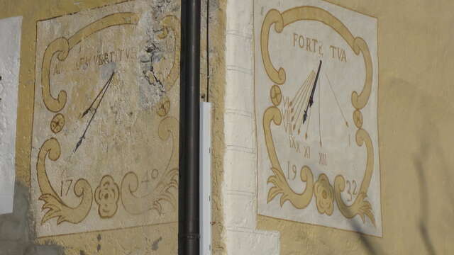
You arrive at the hamlet of Ville Haute: enter the hamlet (don't miss the school sundial on the front of the Névasport store, then the elegant black-and-white sundial at La Bélière). Continue on to the Saint Marcellin church to see the Zarbula sundial in the bell tower and the one on the Maison Rochas, then fork left to reach the Pont de l'Outre. Before crossing the bridge, don't hesitate to go slightly downstream to admire the sundial at Maison Maritau, facing the Clarée.
17 - Return along the right bank of the Clarée:
Cross the Outre bridge, then take the left-hand track to reach the Ferme and Auberge du Clot. From here, continue on the Bois Noir forest track, which winds gradually through the forest and then down to Plampinet.
18 - Descend to Plampinet then Val-des-Prés :
Here you rejoin the itinerary taken on the outward journey: go back down to Plampinet and take the same itinerary as on the outward journey, on your right before the bridge, to reach Val-des-Prés, la Draye.
19 - From Val-des-Prés to Le Rosier :
The track joins the main road: ignore the bridge and the track used on the outward journey, and continue along the main road to the Val-des-Prés church (several sundials to be seen in the hamlet), then continue on to the hamlet of Le Rosier (sundial at Les Airelles gite).
20 - Reach La Vachette:
After the Les Airelles sundial, continue in a straight line along the main road, then take the forest track on the right just before the bend. This rises slightly and winds through the forest to reach your starting point at the hamlet of La Vachette.
Read more