- Voir les favoris
See photos (4)
Clos Raffin small loop
Sport, Pedestrian sports, Hiking itinerary
in La Grave
3.6
km
1h 30min
Easy
-
This short family hike will take you to the first alpine pastures and the charming hamlet of Clos Raffin, now completely renovated.
-
From the starting point at Le Chazelet (1770 m), at the parking lot at the foot of the village, descend towards the village along the parking lot. At the first fork in the road, do not go up into the village, but take a right-hand hairpin turn towards the foot of the ski lifts.
At the second junction, keep to the side of the road (do not descend towards the torrent).
Continue along the wide track and at the next junction, turn left, crossing the torrent at the "pont de la mine" (old...From the starting point at Le Chazelet (1770 m), at the parking lot at the foot of the village, descend towards the village along the parking lot. At the first fork in the road, do not go up into the village, but take a right-hand hairpin turn towards the foot of the ski lifts.
At the second junction, keep to the side of the road (do not descend towards the torrent).
Continue along the wide track and at the next junction, turn left, crossing the torrent at the "pont de la mine" (old silver-lead mine).
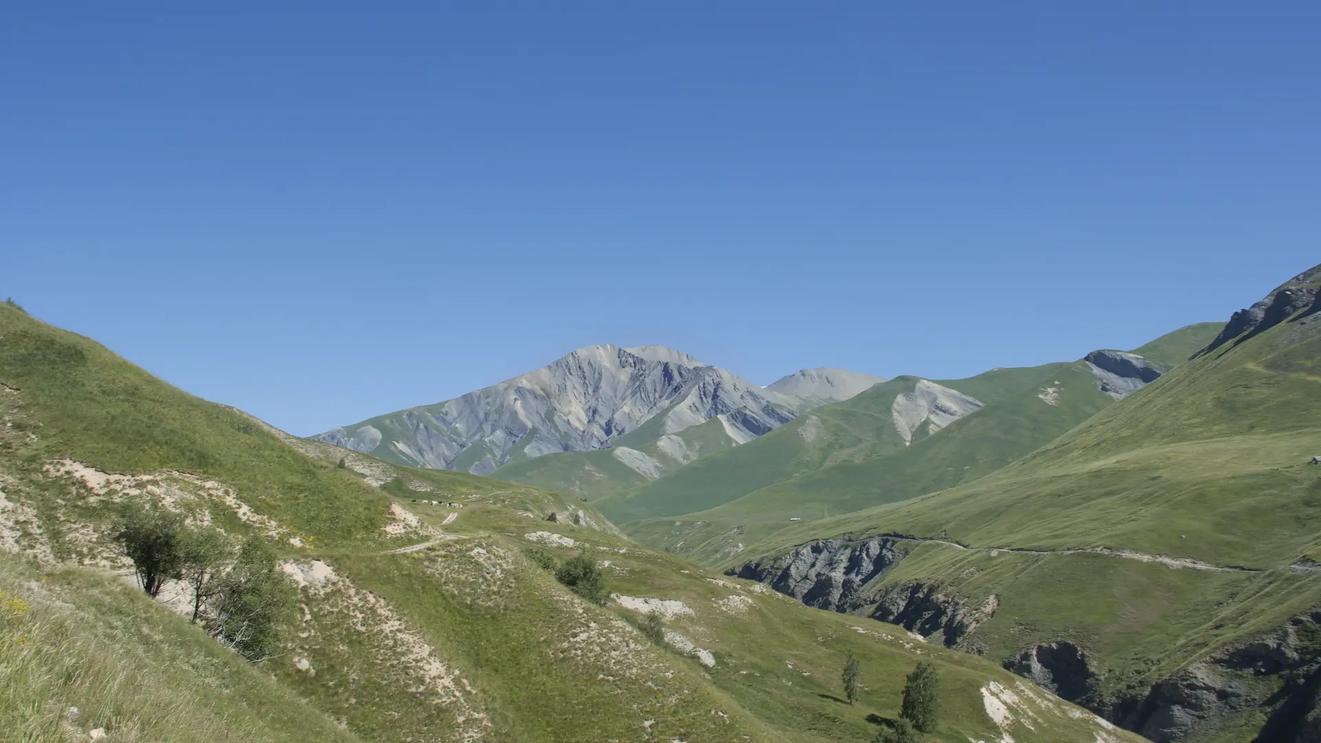
Climb up the wide winding road before reaching the butte du Querellé (in Cadelet dialect).
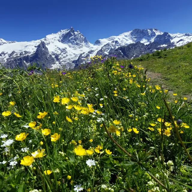
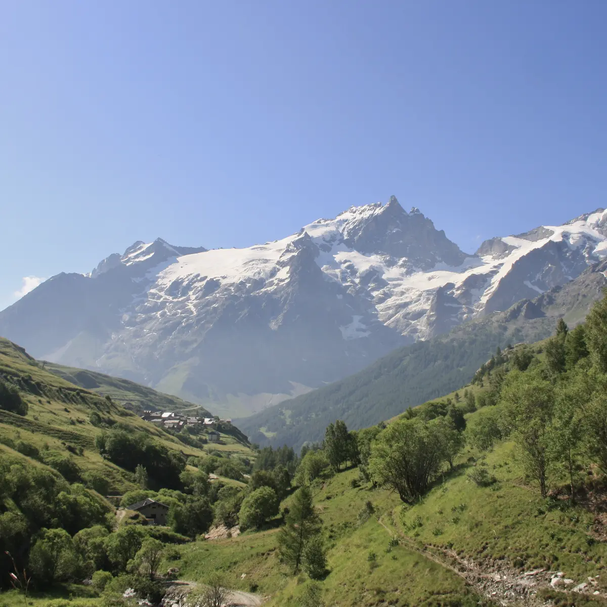
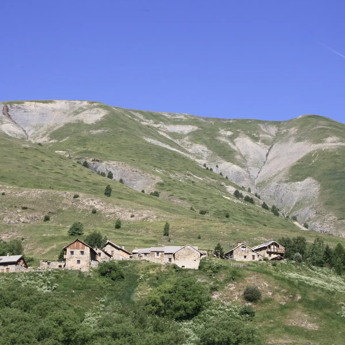
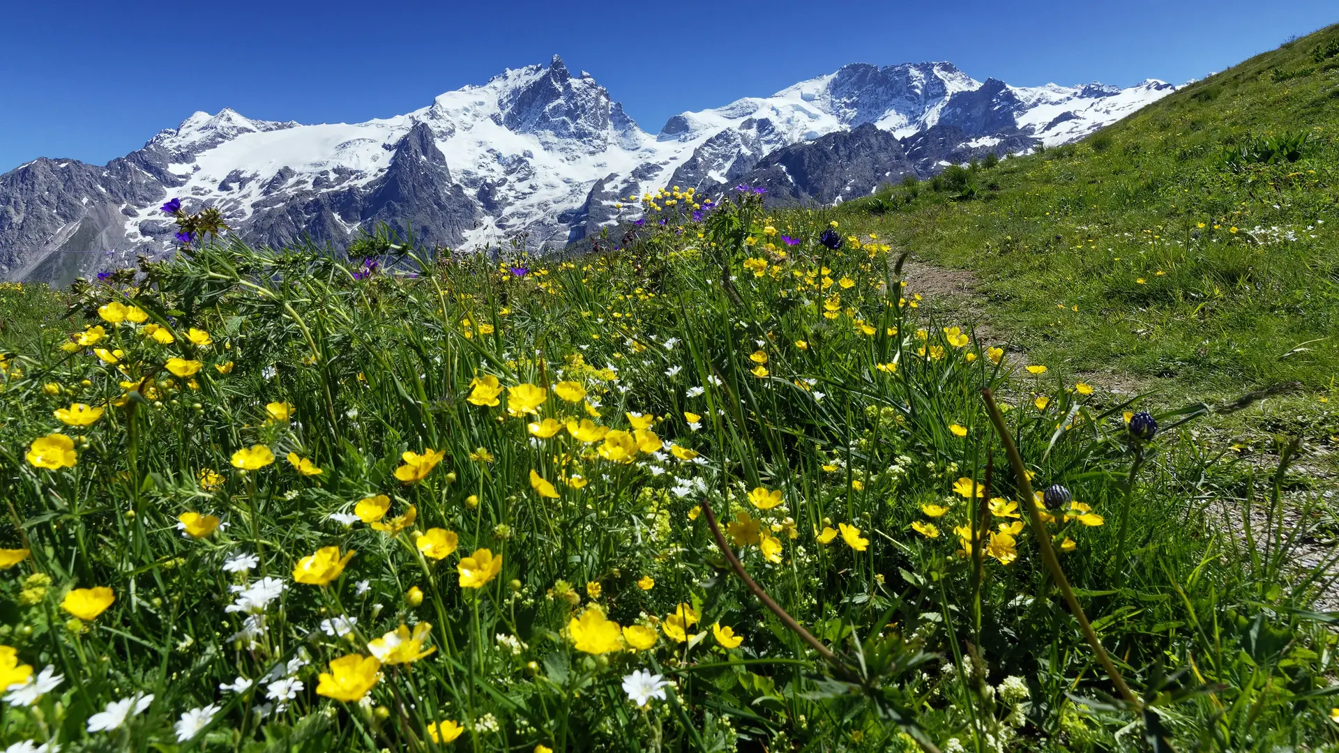
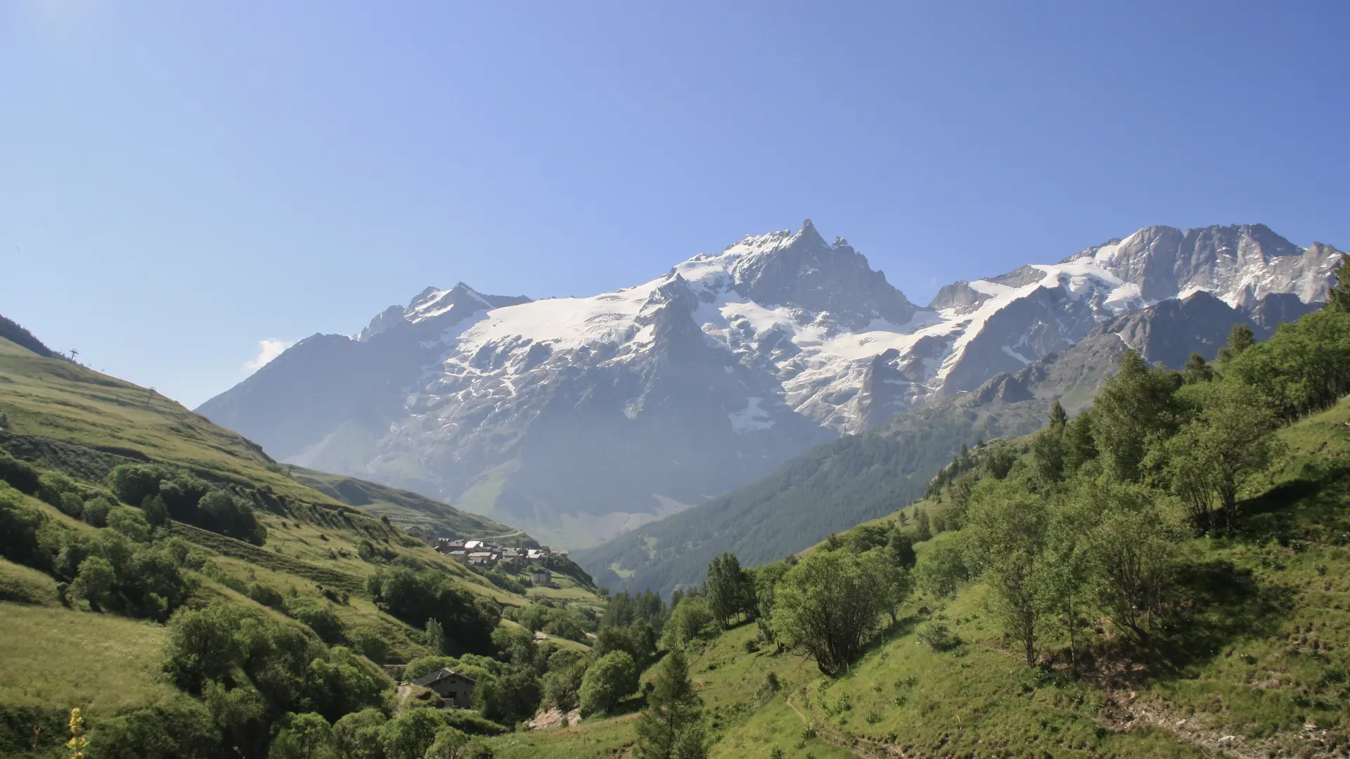
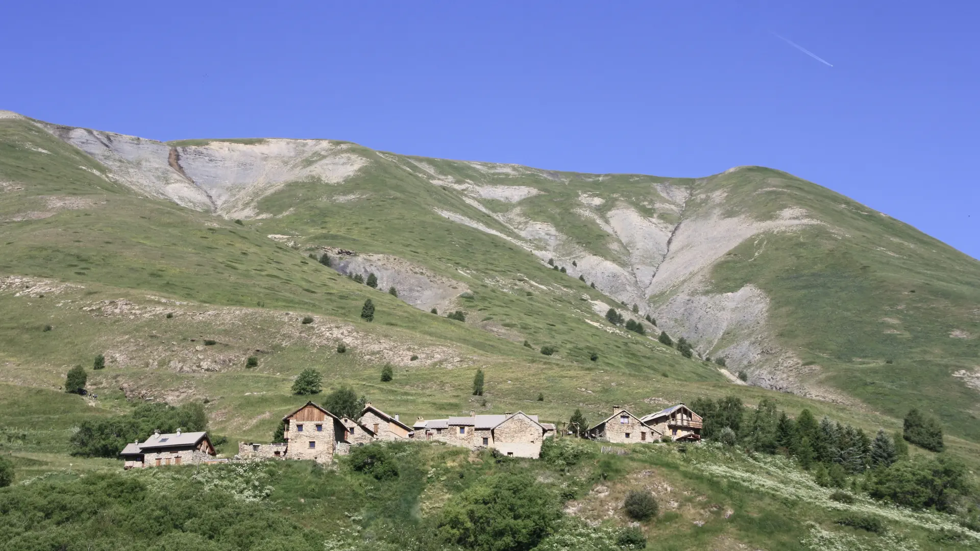
Take a sharp left, pass the Querellé alpine hut and climb up to the hamlet of Clos Raffin (1830m): magnificent view of the three hamlets of Les Rivets and Le Chazelet.
On leaving the hamlet, take the path leading to the bridge at the start of the ski lifts. Join Le Chazelet on a wide track.
- Departure
- La Grave
-
-
Difference in height
- 164.667 m
-
-
-
Plain text period
-
From 15/05 to 30/11 daily.
Subject to snow conditions.
-
-
-
Environment
-
-
-
Spoken languages
-
-
-
Documentation
- GPX / KML files allow you to export the trail of your hike to your GPS (or other navigation tool)
-
-
-
Accepted customers
-
- See all reviews
- 165 meters of difference in height
-
- Maximum altitude : 1862 m
- Minimum altitude : 1742 m
- Total positive elevation : 165 m
- Total negative elevation : -165 m
- Max positive elevation : 107 m
- Min positive elevation : -91 m
Services
-
-
Equipment
-
-
-
Services
-
