img-name-mising

Clot Bernard - La Rate

Sport, Pedestrian sports, Hiking itinerary in Le Fugeret
Unresolved hours
13.2 km
4h 30min
Hard
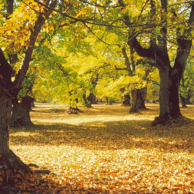
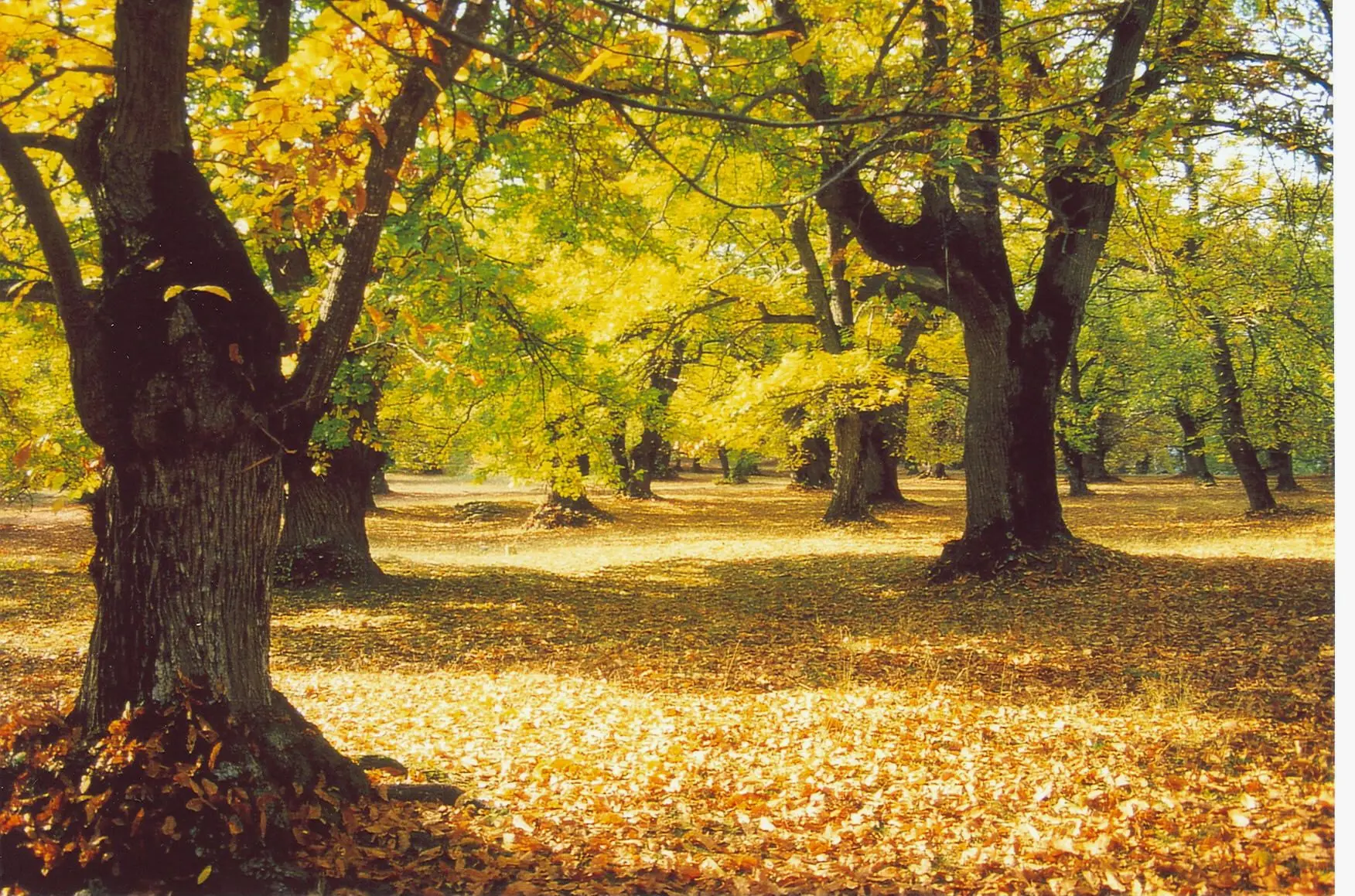
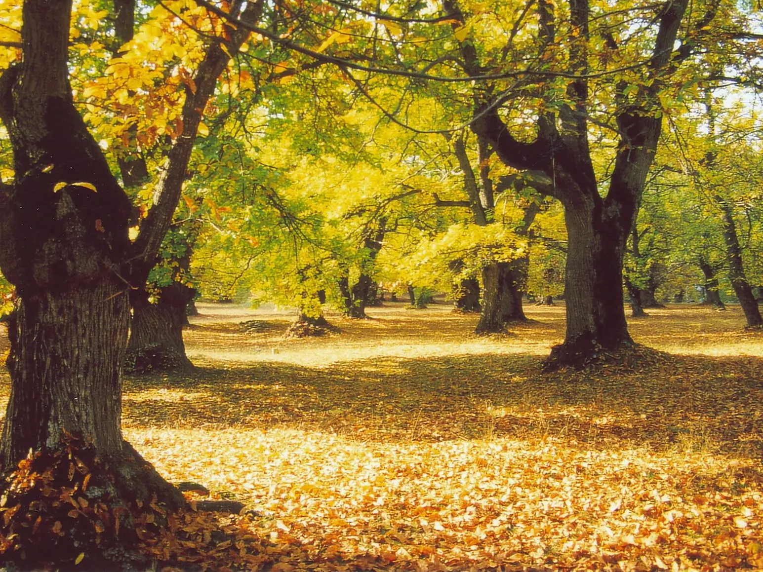
  • A beautiful route through chestnut groves and, in places, among sandstone boulders. It crosses the abandoned hamlets of Collet Gouiran and La Rate, and passes by the ruins of St. Peter's chapel, built on a sandstone boulder.

  • Take the Suéio rise, then right onto the Chemin d'Argenton. Pass over the railroad line, which you will cross again a little further up. The path twists and turns upwards before coming out onto a track. Turn right, then immediately left; the route crosses the magnificent Chastel chestnut grove before rejoining the GTPA. Turn right, passing the ruins of Collet Gouiran and La Rate. Turn right at the crossroads. The path descends to Ravin de la Beïte, then joins the Argenton track. Follow it...
    Take the Suéio rise, then right onto the Chemin d'Argenton. Pass over the railroad line, which you will cross again a little further up. The path twists and turns upwards before coming out onto a track. Turn right, then immediately left; the route crosses the magnificent Chastel chestnut grove before rejoining the GTPA. Turn right, passing the ruins of Collet Gouiran and La Rate. Turn right at the crossroads. The path descends to Ravin de la Beïte, then joins the Argenton track. Follow it southwards. At the crossroads, turn right, passing the Chapelle Saint-Pierre, then right onto the Argenton track. Pass the hamlet of La Rouie, and leave the track on the left at the crossroads. The path descends steeply through an area of chestnut groves before reaching Le Fugeret.
    Please note: chestnut groves are private property and harvesting (chestnuts, mushrooms, etc.) is prohibited.
  • Departure
    Le Fugeret
  • Difference in height
    762.902 m
  • Environment
    • Close to a public transportation
    • TER stop (regional train) within 500 m
  • Documentation
    GPX / KML files allow you to export the trail of your hike to your GPS (or other navigation tool)
763 meters of difference in height
Created with Highcharts 6.2.0Distance (km)Altitude (m)0 km1 km2 km3 km4 km5 km6 km7 km8 km9 km10 km11 km12 km13 km800 m900 m1000 m1100 m1200 m1300 m1400 m1500 m1600 mHighcharts.com
  • Maximum altitude : 1473 m
  • Minimum altitude : 834 m
  • Total positive elevation : 763 m
  • Total negative elevation : -763 m
  • Max positive elevation : 447 m
  • Min positive elevation : -450 m
Services
  • Services
    • Pets welcome