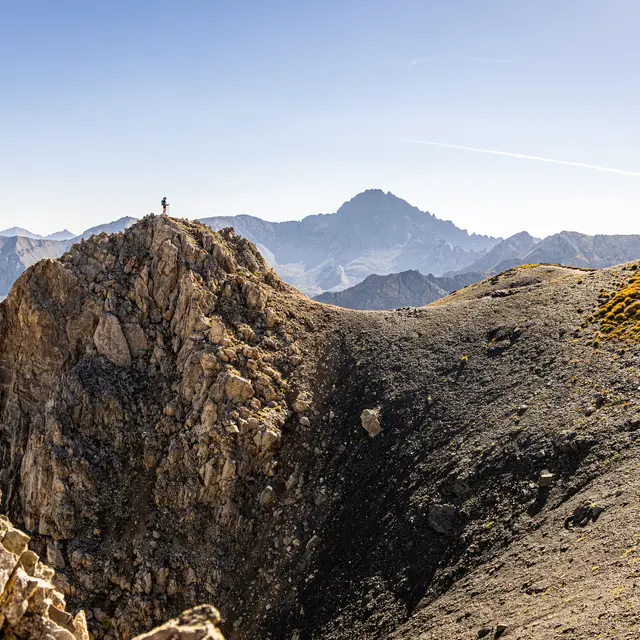
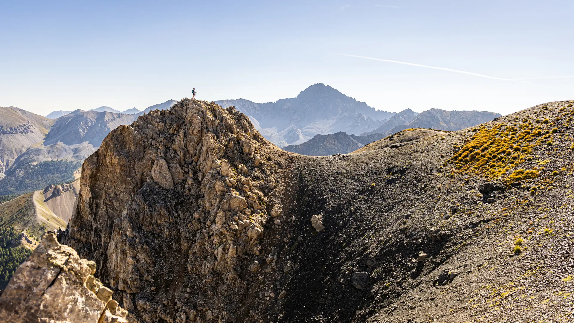
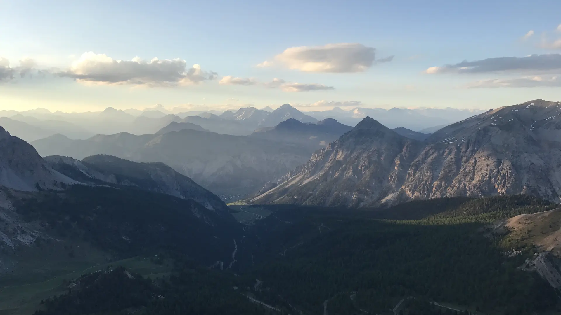
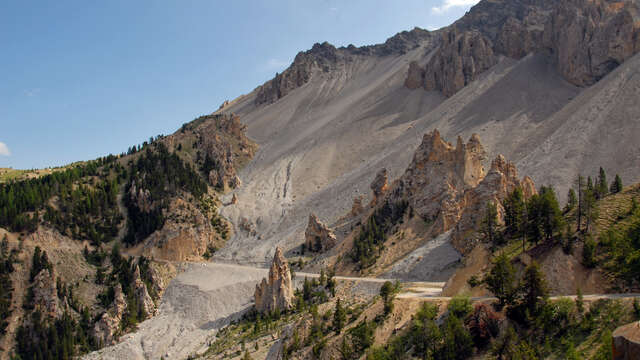
From the summit of Clot la Cime, this short high-altitude itinerary offers surprising views of the Ecrins and Queyras.
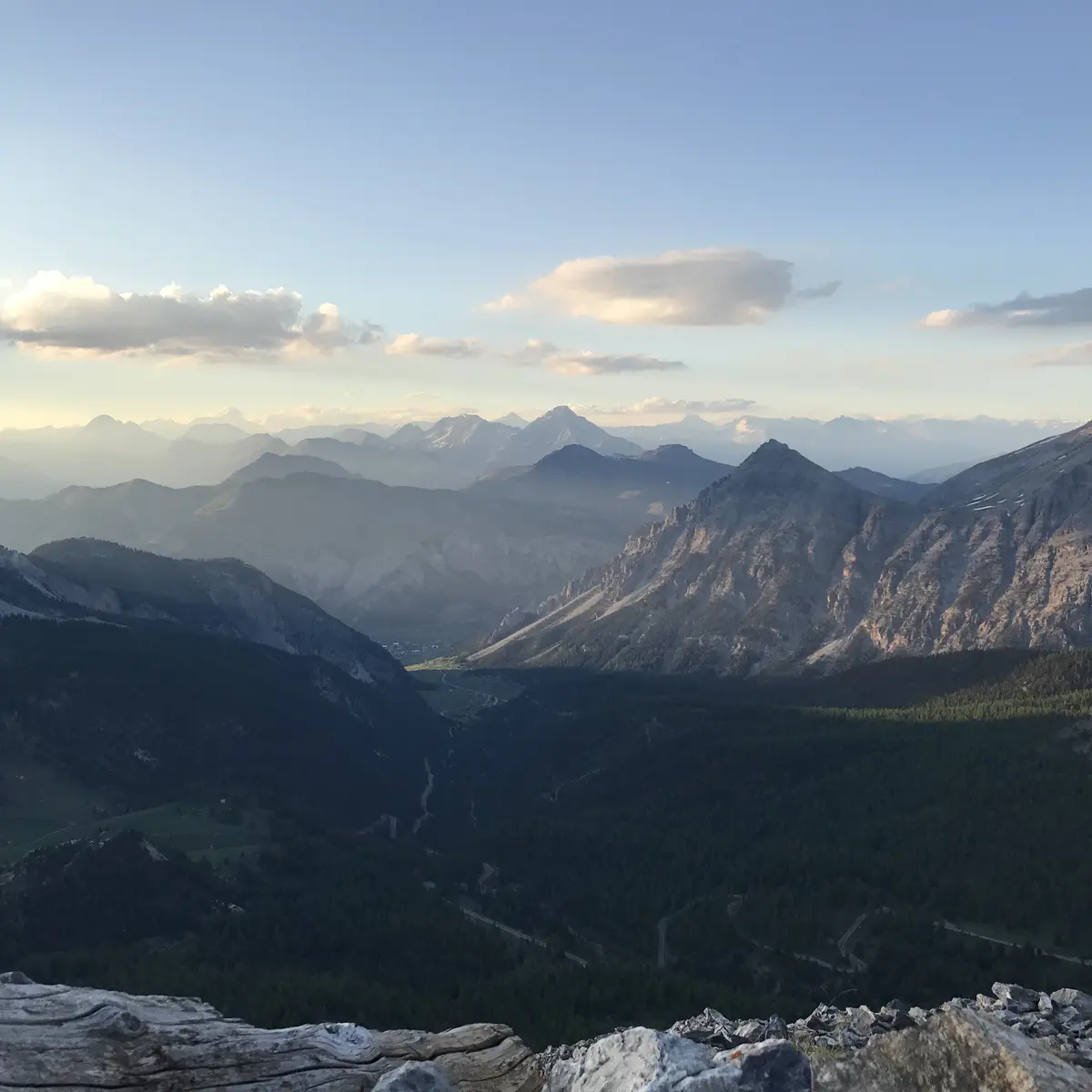
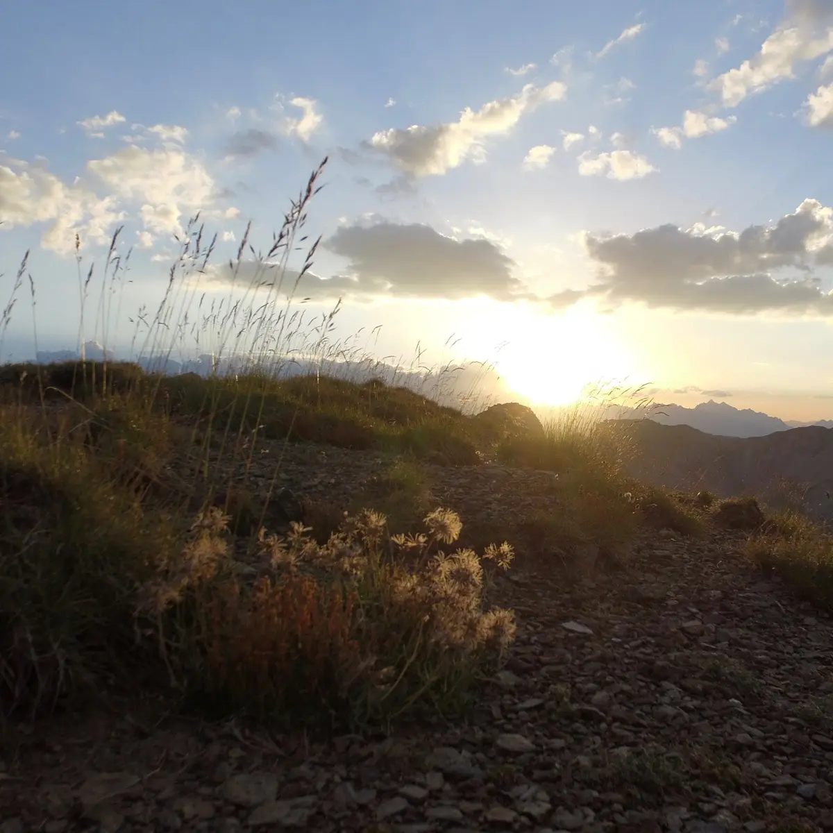
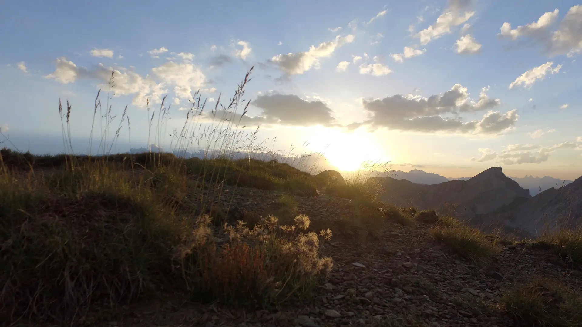
Its short duration makes it an ideal hike at the end of the day to enjoy the sunsets over the peaks.
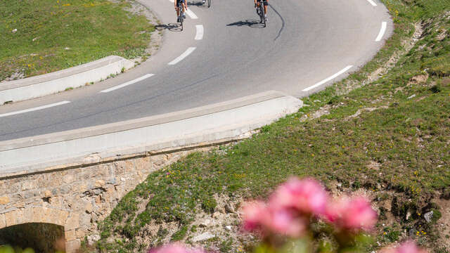
Park at the Col de l'Izoard parking lot, then cross the road to take the path behind the old museum.
At the fork in the road, take the left-hand path; the wooden signpost points the way to Clôt la Cime.
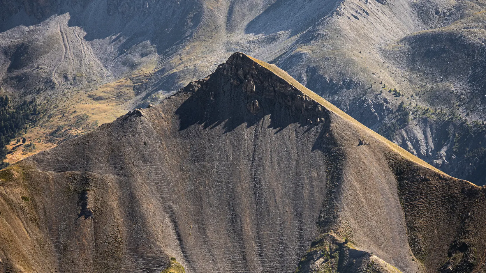
The path crosses the mountainside facing the Queyras before winding its way up to the summit. The highest point forms a summit flat.
Return by the same route.
To enjoy the sunsets from this summit, it's advisable to bring headlamps for the descent and warm clothing.
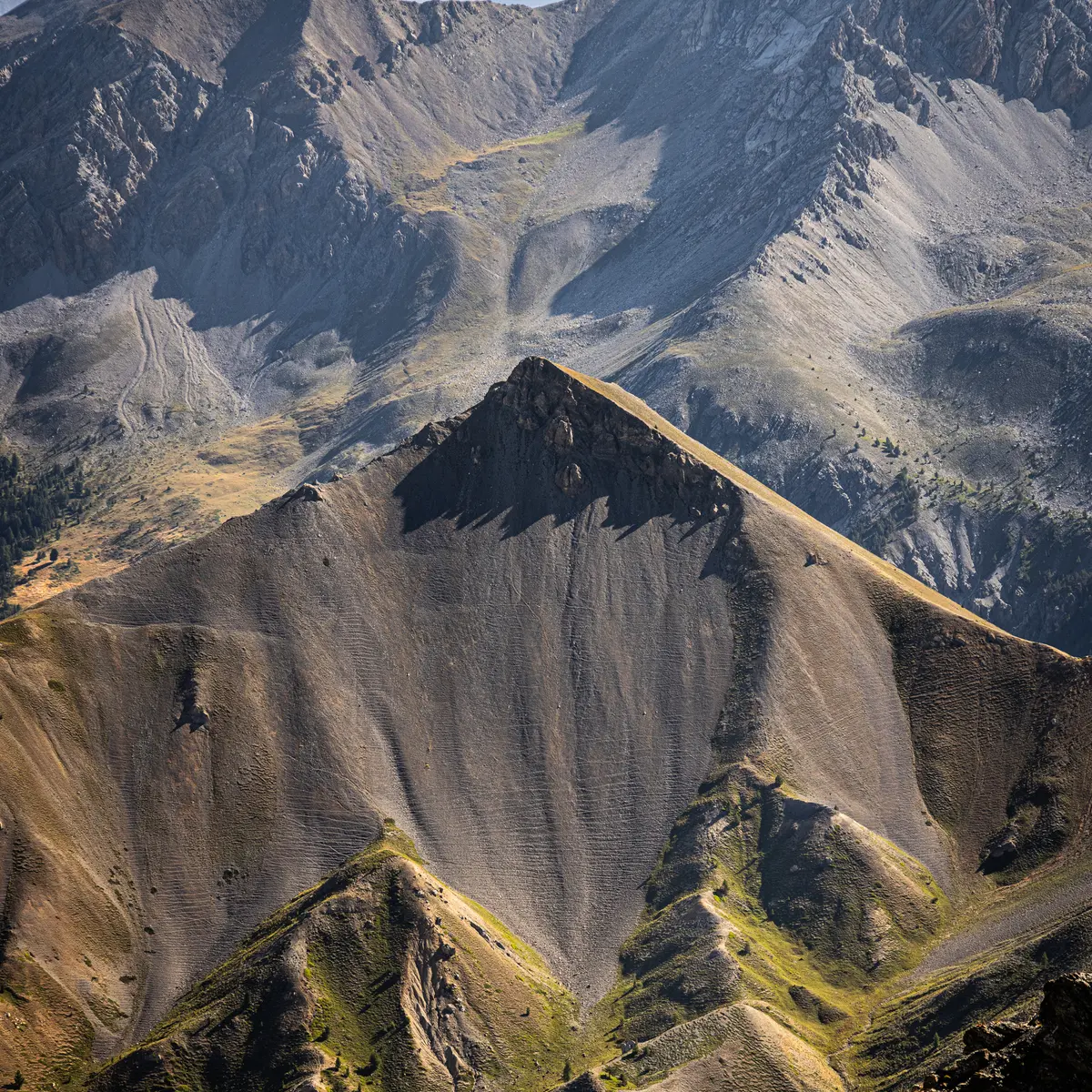
This route lies in the heart of the Rochebrune - Izoard - Vallée de la Cerveyrette N2000 protected area.
In order to preserve this exceptional site, it is necessary to respect certain rules:
- Stay on the paths
- Dogs must be kept on a leash
- No picking of plants or flowers
- Bring your own garbage
- Camping and fires prohibited, bivouacs authorized
- Respect the tranquillity of the site
Read more
Plain text period
Find out when the pass is open and when it is reserved for cyclists.