Clôt la Cime - Ubaye Serre-Ponçon

Clôt la Cime

Sport, Pedestrian sports, Hiking itinerary in Ubaye-Serre-Ponçon
12.7 km
4h 30min
Very difficult
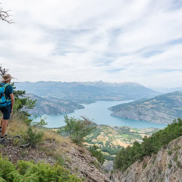
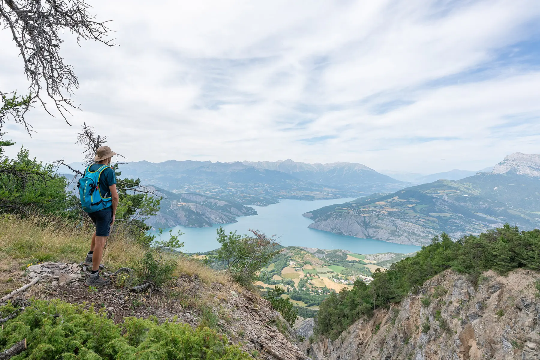
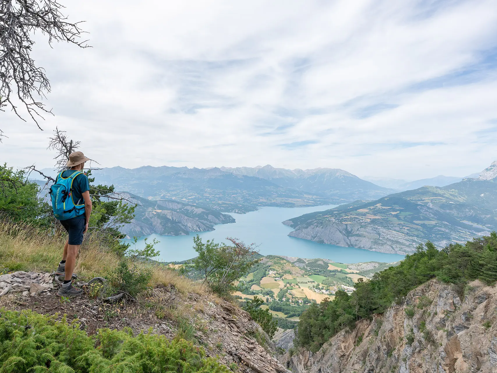
  • This hike will take you from the village of La Bréole to the summit of Clôt la Cime at an altitude of 1,590 metres, where you can enjoy magnificent views of Lake Serre-Ponçon and the Durance Valley.

  • From the village of La Bréole, the ascent to Clôt La Cime takes you through a beautiful, refreshing beech forest interspersed with green meadows. The return journey takes you through the hamlets of Charamel Haut and Charamel Bas.
  • Departure
    Ubaye-Serre-Ponçon
  • Difference in height
    699.333 m
  • Documentation
    GPX / KML files allow you to export the trail of your hike to your GPS (or other navigation tool)
  • Accepted customers
    • Level black - very hard
699 meters of difference in height
  • Maximum altitude : 1581 m
  • Minimum altitude : 931 m
  • Total positive elevation : 699 m
  • Total negative elevation : -699 m
  • Max positive elevation : 332 m
  • Min positive elevation : -247 m
Services
  • Services
    • Pets welcome