The magnificent Verdon river.
Once through Allos, you'll pass tiny, one-street villages, which stand like sentry posts, hugging the valley floor - hamlets and stone villages steeped in history, like Thorame, Colmars and Saint-André.
The Col du Corobin is barely an obstacle, and Digne-les-Bains is easily reached via the D20.
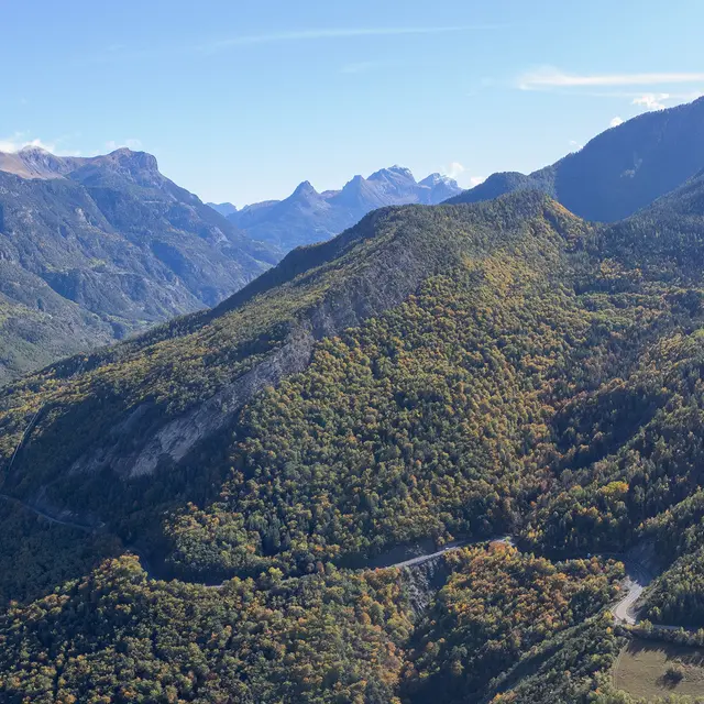
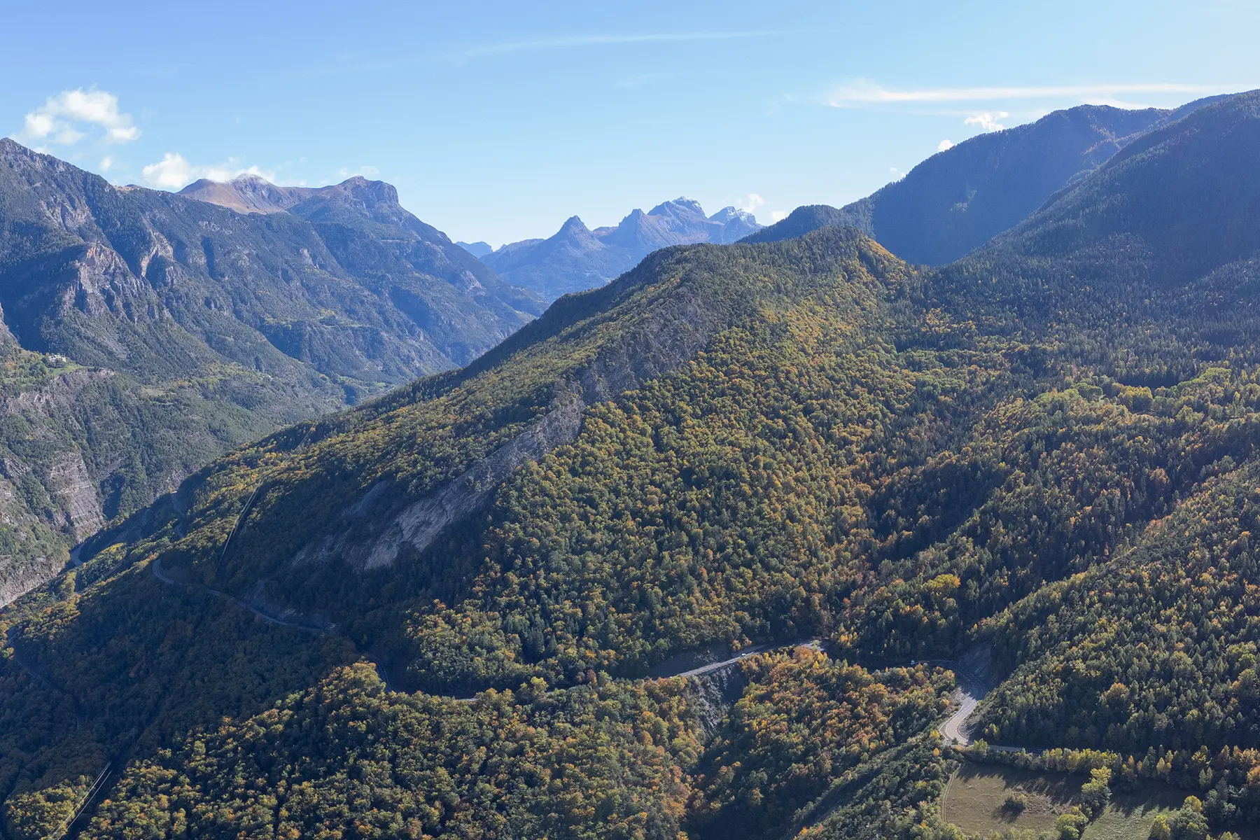
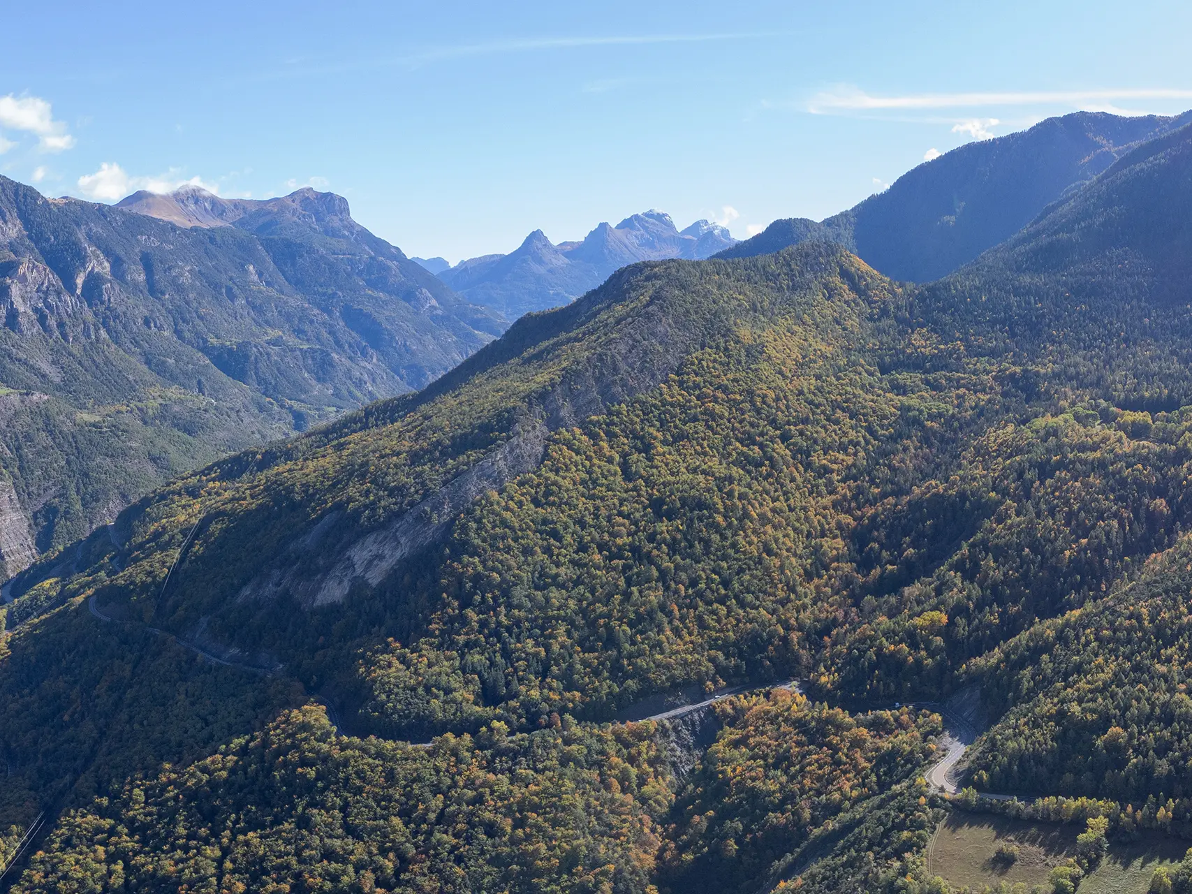
Before approaching Saint-Jean, the cols du Labouret and de Maure set their traps: a landscape of small hills bristling with conifers that are hard on the legs!
At the top of the Col Saint-Jean, you can savour the victory and the view of the Baronnies, the Peyle and Aup peaks, while to the east, the summits of the Ubaye Valley loom large.
Read more